
The Mountains of Arizona
• www.surgent.net
|
| Peak 2272 |
• Sonoran Desert National Monument • Maricopa Mountains • Maricopa County |
|
Date: December 18, 2021
• Elevation: 2,272 feet
• Prominence: 452 feet
• Distance: 0.9 mile
• Time: 1 hour
• Gain: 553 feet
• Conditions: Beautiful
• Teammate: Matthias Stender
• Prog-rock bands played: Soft Machine
Arizona
•
Main
•
PB
•
LoJ
Matthias and I spent most of today hiking up Peak 2056 over by Gila Bend. He got the summit, I stopped short because I was uncomfortable with the loose slopes. I don't regret my decision and was happy Matthias got to the top.
Driving out, he asked if I was interested in one or two ranked bumps off the AZ-238 highway. It would salvage the day for me, at least getting one more ranked peak to claim. Sure, I was agreeable. It was still early (1 p.m.) and we had to go that way anyway.
We pulled into the Boulders access road/staging area. The last time I was here was ten years ago when I hiked up Estrella Benchmark. For years, the access road was gated, this being the Sonoran Desert National Monument and road travel restricted.
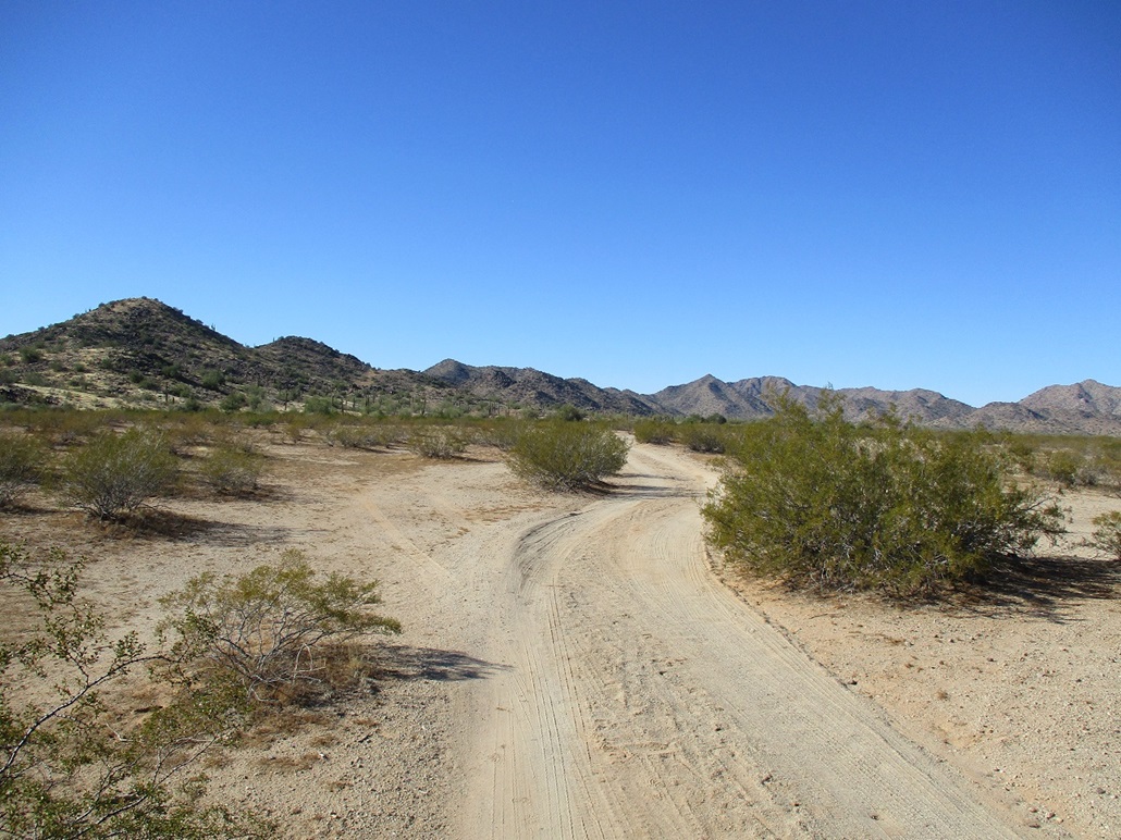
So we get there, start walking and note that (a) the usual sign about not driving on the roads was absent, (b) there was no gate, and (c) there were fresh tire prints on the road. We had walked in about 300 feet, so Matthias went back to get his vehicle. This was a surprising development, one we were not expecting.
Matthias drove us in about two miles total, going north to the "boulders", a small clump of rocks set apart from the mountains, then going west on a track to its end. Hiking these roads would have gone fast, but if we could drive the roads, why pass up the opportunity?
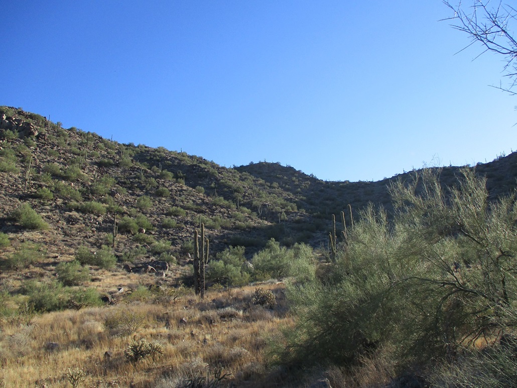
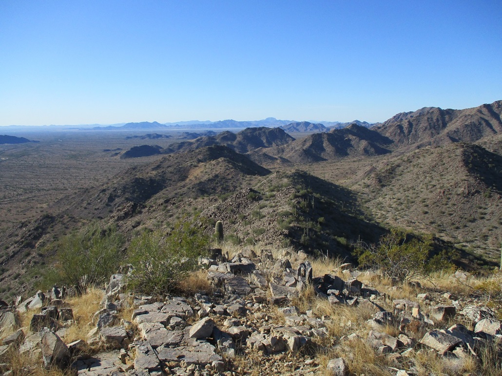
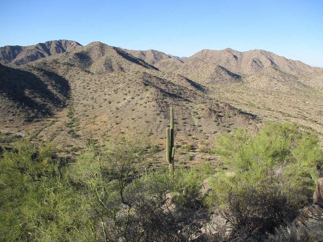
From where we parked, Peak 2272 was right there in front of us, just 0.3 mile away, 550 feet higher. We immediately got onto the nearest slopes, then steeply up through a boulder slope nearly all the way to the peak's east ridge. Once there, we walked the easy slopes to the summit.
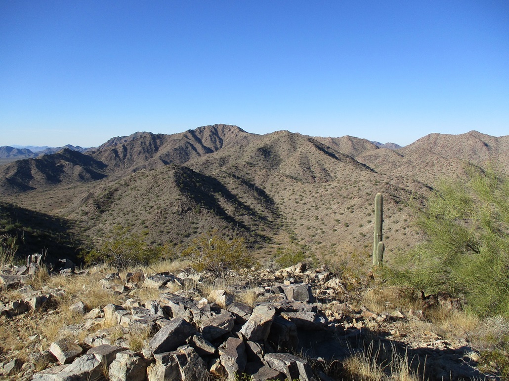
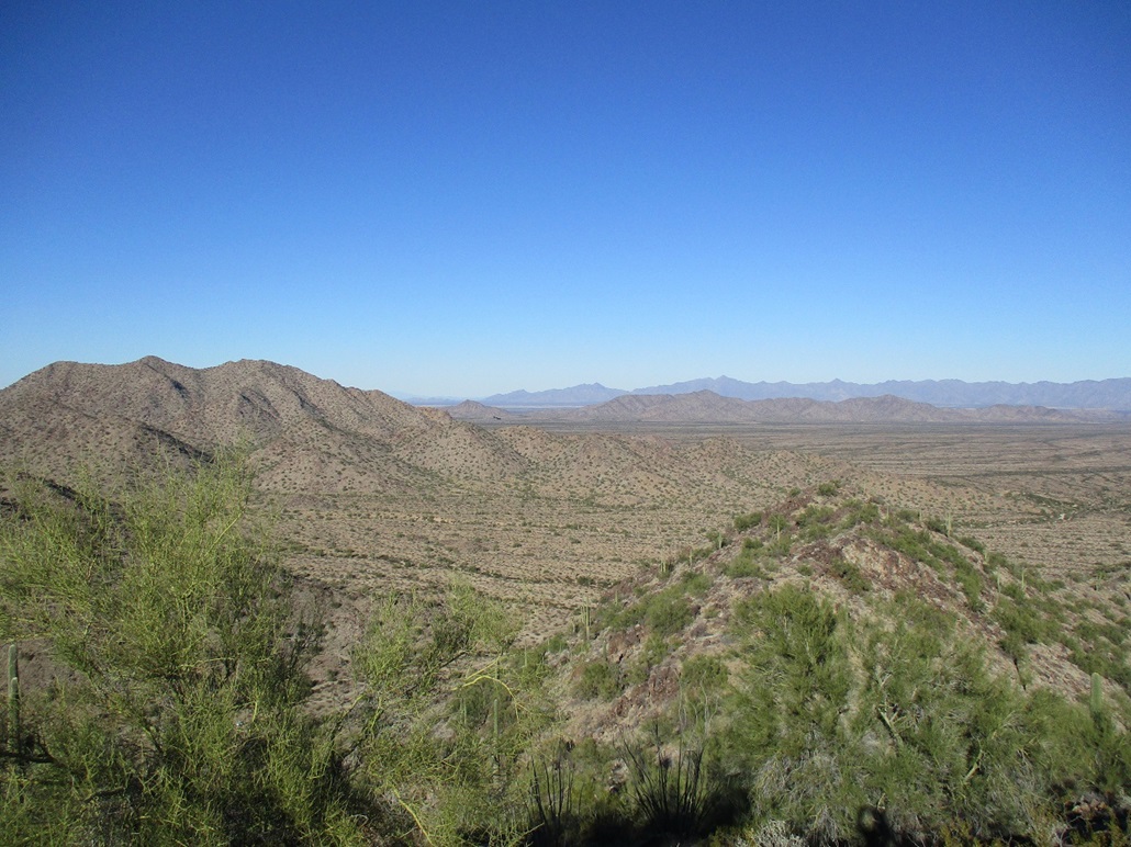
The day was clear and pleasant, so we took a long break up here, looking at the surrounding peaks, the traffic going by on the highway, and the slow trains passing through. With the road apparently open now, We also looked at all the other peaks we could drive closer to. Suddenly, this whole region of peaks becomes open to us now.
The hike down went well, and the round trip was about an hour, our break included. This wasn't an epic peak by any stretch, but it was a good consolation for me after bailing on Peak 2056, and it had the unexpected result of us learning about the new road access.
Back home, I looked this up on the web. I could not find anything specific about when and why the roads suddenly became open. The BLM site simply mentions exploring by foot or driving. Well, they're open now, I suppose.
I have mixed feelings. I am happy that the roads are now open, for purely selfish reasons. I also understand the desire to close roads to keep from further damage occurring due to the abundance of vehicles, and the wildcat off-roading some people do. I am not sure how long the roads have been open, but the evidence suggests that the vehicles stick to the roads as we did not see any off-road tracks. Also, there is a quick drop-off in how far the lazy ne'er-do-wells will drive. Most will stay close to the entrance before doing donuts and yahooing. Farther in, not so much. My opinion is that closing all roads is not a good option. There should be some balance. Keep one or two main roads open, close off the side ones, so that at least one can drive reasonably close to wherever they're going. It opens up more of the range, where otherwise no one would bother.
|

|