The Mountains of Arizona
• www.surgent.net
|
| Peak 5529 • Behind the House Hill |
• Dragoon Mountains • Arizona State Trust Land • Cochise County |
|
Date: December 2, 2023
• Elevation: 5,529 feet
• Prominence: 795 feet
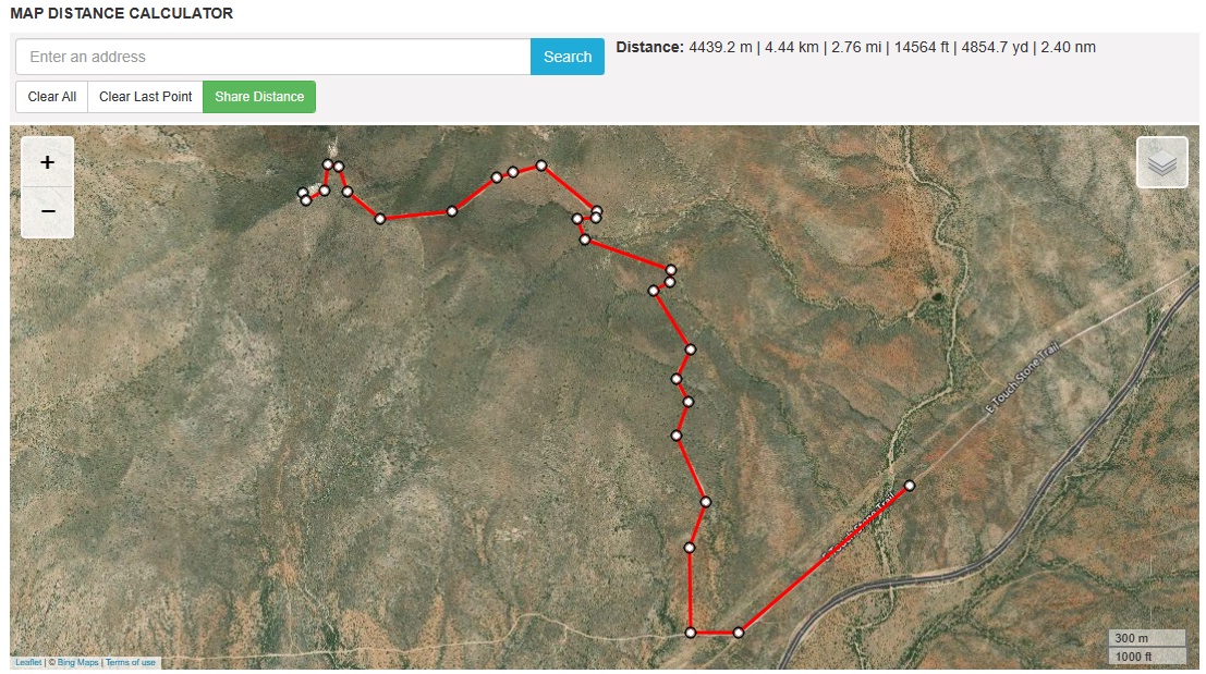
• Distance: 5.6 miles
• Time: 90 minutes
• Gain: 1,100 feet
• Conditions: Sunny, clear skies, chilly
Arizona
•
Main
•
PB
•
LoJ
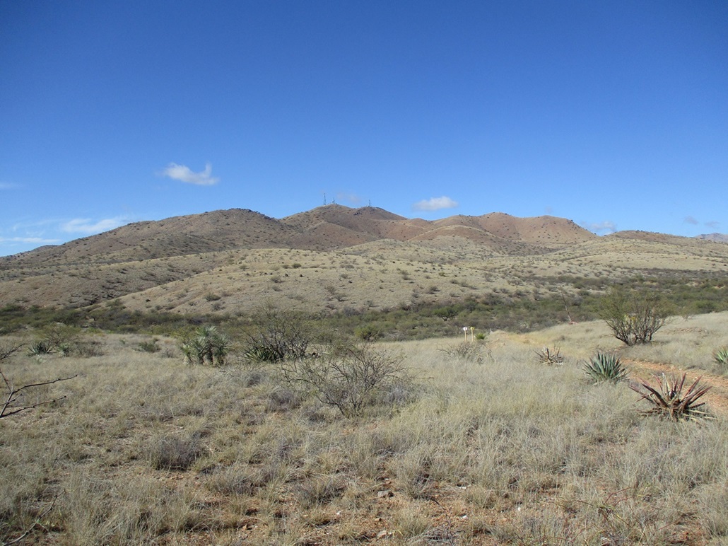
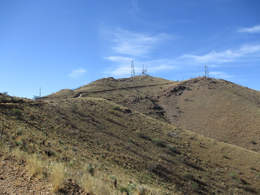
This peak rises south of Interstate-10 near the Dragoon exit, in the rocky Texas Canyon. It's easy to spot as it has communications towers on its summit. A very good road leads to the top which makes an ascent of this peak simple. Its name is taken from the Lists of John website, but I do not know its origin. Probably a local name for the peak, or one used by the Southern Arizona Hiking Club.
I was driving to Bisbee with a carload of boxes, small furniture and whatever things I could jam into the voids in between. I had left Tempe at 7 a.m. and drove all the way through Tucson and exiting in Benson, where I stopped at a gas station for snacks. Back on the interstate, I went another 15 miles or so to the Dragoon exit. The peak parallels the freeway and is easily seen from miles away. It does not hide behind other peaks.
I followed the road into Dragoon, the town, then took a right onto a dirt road called Touchstone Road, which goes west, paralleling railroad tracks. I had to pass through one gate early on. It was not posted against trespassing and was unlocked. The route in crosses private land but the road up the mountain is on State Trust land.
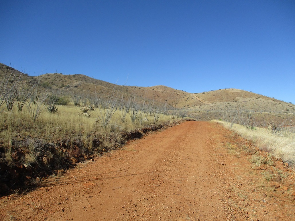
The road was pretty good at first, then got a shade rockier in spots, a little more rutted in other spots. Clearance wasn't a problem. However, even the smallest rut or rock caused everything in my car to jostle so I had to move very slowly. I ended up parking early because I did not want to deal with a rocky stretch that would cause my stuff to shake and possibly break.
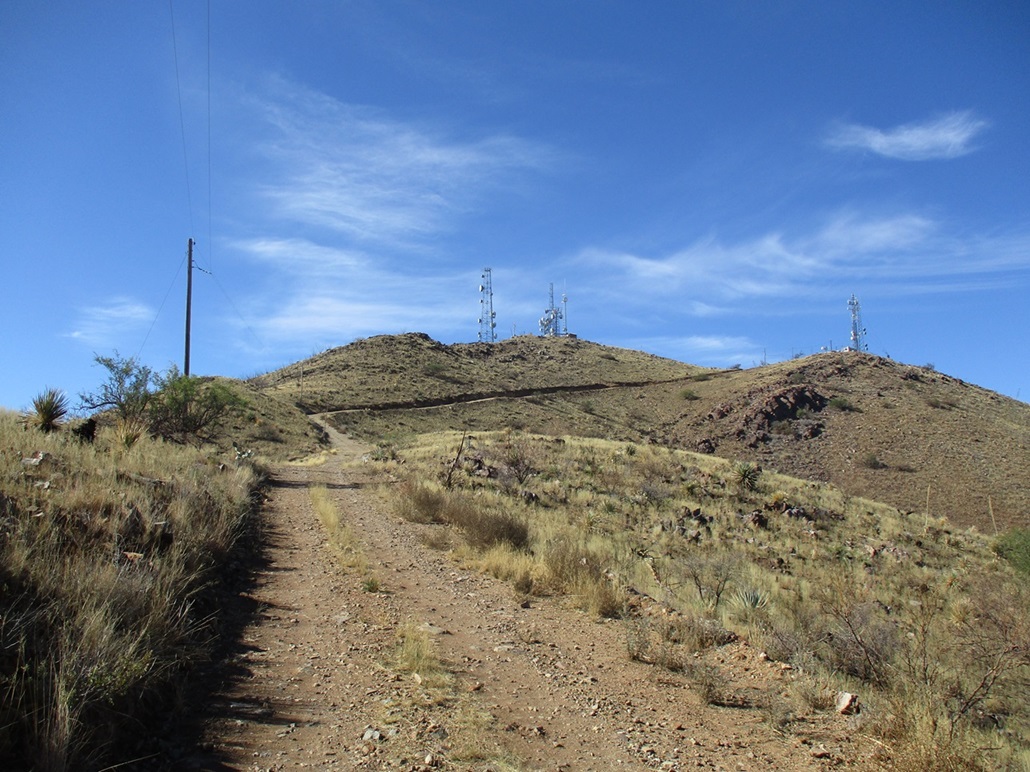
I started walking about 11:30 a.m., the day was bright blue, calm, temperature in the high 50s, and bone dry, a beautiful southern Arizona desert winter day. I followed the road to some power lines, and followed the road some more to the obvious junction with the road that goes to the top. Had I not been travelling with so many boxes and breakable things, I could have eased the Subaru through the rocky segment, and getting up some of this mountain road would have been easy.
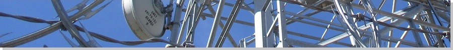
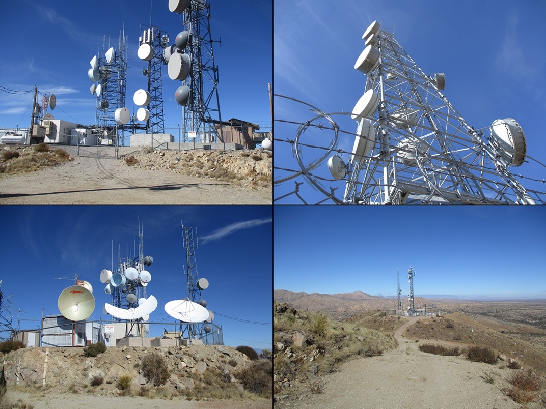
The road was graded and very wide. It gets steep higher up where a 4-wheel drive vehicle might be warranted. I kept a strong pace and never stopped for a break. I just stopped once for about 30 seconds to remove a layer. I was at the summit about 50 minutes after leaving my car. The top is full of towers, the main complex on the highest summit, another batch on a lower summit nearby.
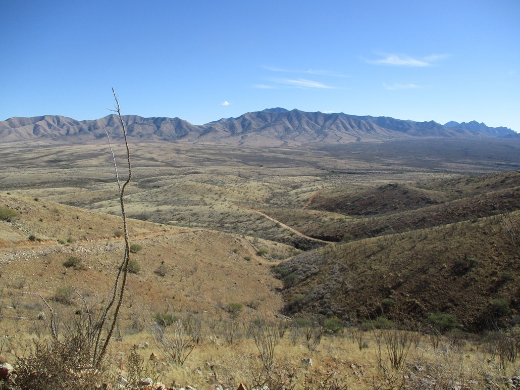
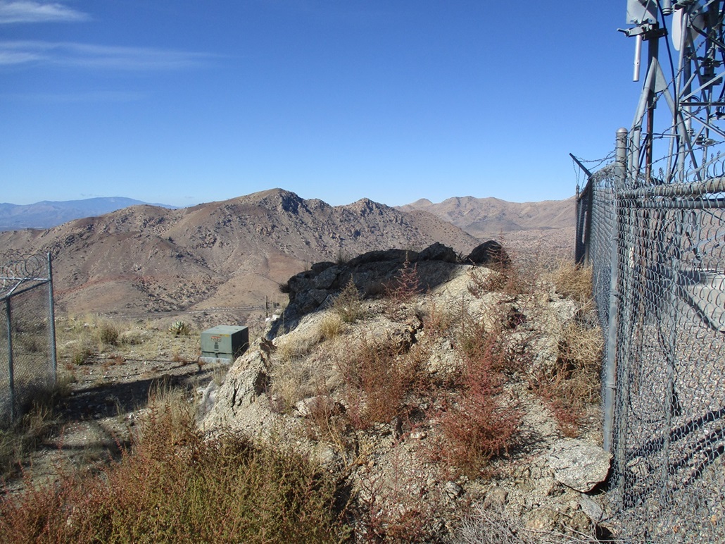
The top has obviously been altered to accommodate the towers. The highest natural rocks that remain appear to be on the west side, above an eight-foot high "cliff" with a walk-around option. I scampered up it, tagged the rocks, looked around for a register, shot an image or two, then got right back down. I never stopped for a break. Views from up here were very good, with detail visible on peaks fifty miles away. The Dragoon Mountains, with Mount Glenn, rise to the south. Across the highway are the Little Dragoons, with Adams Peak and Mae West Peak being the main summits. This peak belongs to the Dragoon Mountains.
I walked the road out, and was able to fast-walk much of it. It was sloped just right, with solid tread and no gravel to slip and slide on. As such, I made the egress hike in just over a half hour, a round trip of just shy of 90 minutes. This was an easy peak and I appreciated its lack of logistics because today, I just wanted a fast-and-easy hike.
From here I took a leisurely drive to Bisbee via US-191 and the little towns of Sunsites, Sunizona and Elfrida, where I caught some connectors that took me toward Bisbee rather than to Douglas, if I had stayed on US-191.
|


|