
The Mountains of Arizona
• www.surgent.net
|
| Rice Peak & North Slope Liner |
• Pima County (Rice Peak summit) • Highpoint: Pinal County (N. Slope) • Catalina Mountains, Oracle Ridge • Coronado National Forest |
|
Dates: (1) December 5, 1999; (2) March 8, 2003
• Elevation: 7,575 feet (Rice Peak); 7,280 feet (CoHP)
• Prominence: 255 feet (Rice Peak)
• Distance: 9 miles
• Time: 5 hours
• Gain: 2,900 feet
• Conditions: Cool in 1999, clear skies but lots of snow in 2003
• Teammates: Ken in 1999
Arizona
•
Main
•
PB • LoJ
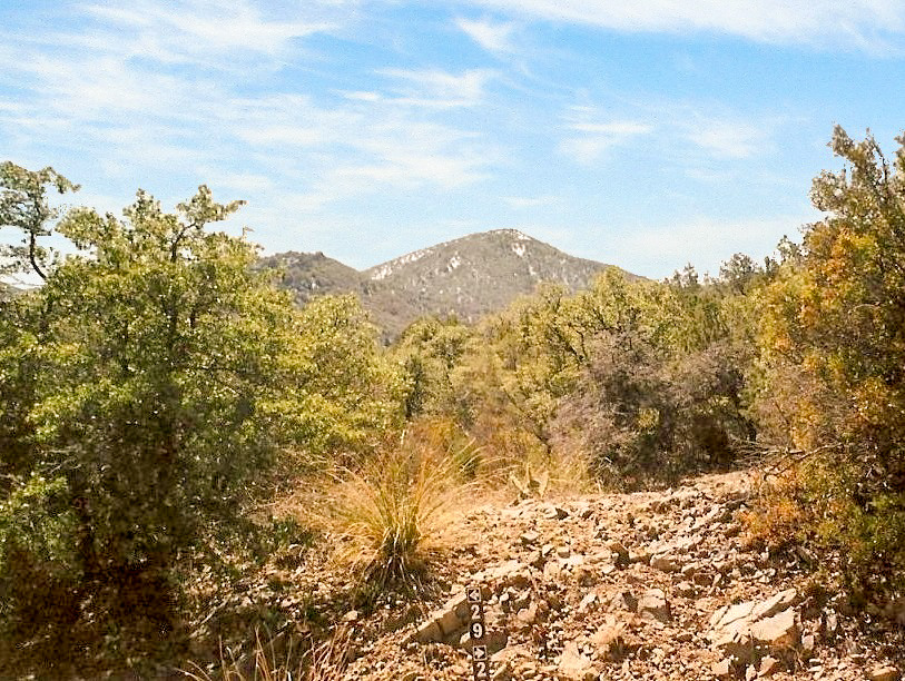
Rice Peak is a bump along the Oracle Ridge, a north-trending ridge emanating off of the Santa Catalina Mountains. The Pima-Pinal County line runs across the ridge at 7,280 feet elevation on the north slope of Rice Peak, resulting in the highest point inside Pinal County. Thus, a hike to this "highpoint" means to hike to a cairn near a tree on a slope.
There are two ways to get here: from the north via Peppersauce Canyon or from the south via the Catalina Highway. Both hikes are moderately-long but easy. Portions of the hike include the Arizona Trail. I have been here twice, and a third time in which I had to turn back.
First Attempt, July 1997: I came from the south from the Catalina Highway. I got an early start from home and arrived at the Arizona Trail Trailhead off of Oracle Control Road, near the Fire Station up on the Catalina Highway. The sign said Rice Peak was 6 miles away. It was warm, being July. I started hiking.
The trail drops about a thousand feet to Dan Saddle, and I did well, following the trail past Dan Saddle and on beyond a nearby hill. I rounded a bend, saw Rice Peak still about two miles away, and had just a half-liter of water. I knew I'd never have enough to do the round trip, so I bailed, and started to hike out to my car, inconveniently a thousand feet higher in elevation. It wasn't warm anymore. Now, it was hot.
Back at Dan Saddle, I had drank what I had left. I still had most of the thousand vertical feet to gain over two miles. I did it, but I was desperately thirsty when I emerged, as dehydrated as I have ever been. I had some water in my car, hot by now after sitting in the sun. It didn't matter. I gulped some down and felt slightly better. This was the most dehydrated I had ever been, and another mile of hiking might have done me in. Once this dehydrated, just drinking water or other fluids does not magically cure it. Yes, I felt barely better, but my body's chemistry was out of whack for many hours afterwards. I felt awful.
I drove into Summerhaven and found a small cafe, and basically ordered anything wet from their menu. It took me a couple hours to rehydrate and feel better. I learned a darn good lesson today. By now late in the afternoon, I salvaged the rest of the day with a casual hike up Mount Lemmon.
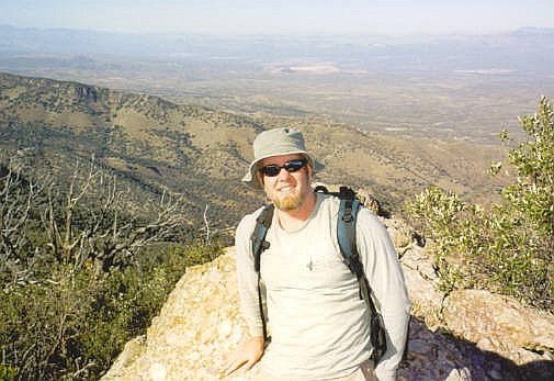
First successful visit, December 1999: Ken and I teamed up to visit this highpoint, both of us having failed on our first (separate) attempts in the past. Mine, you can read about above. Ken had also tried to find it sometime in the past and did not feel too comfortable about his attempt back then, so we both had reasons for wanting a second attempt for the highpoint. This time Ken drove, and we followed a route through Florence into Oracle. A marathon was being run, and lots of runners were on the highway (AZ-77) from Oracle Junction to Oracle. Ken did a good job of not hitting a single person.
We parked in Peppersauce Canyon south of Oracle (the town), and followed a series of jeep roads up and up and up until we came to the Arizona Trail, then more road, eventually getting near Rice Peak. I had a little excitement along the way, catching a glimpse of a large cat stealthing its way across the road ahead of me. All I saw was its hindquarters.
We arrived to the top of Rice Peak, where some guys in their Jeeps had driven up. We chatted with them, then started down the north slope looking for the Pinal County highpoint. We split up at one point, me to check out one area, Ken another. Not sure where Ken went but he was gone for about 15 minutes. Finally, he returned. We resumed our search, generally staying (as best as possible) on the north slope of the peak, and in the process, crossing the county line at some point.
We then walked out to the rock outcrop that also has a similar elevation, and tagged its highpoints, and in doing so, could make a confident claim to Pinal County's highpoint. Then we started the long walk out, re-ascending Rice Peak and then following the roads and trails back to Peppersauce Canyon, arriving just as darkness settled in. The drive back to Phoenix was mostly boring with moments of terror thrown in, like when Ken skidded to a stop on AZ-79, then reversed while still in the highway, so he could check out the Tom Mix roadside memorial. We almost became part of this memorial, had there been someone tailing us.
Ken was able to get me home in one piece. It was our third hike "date" and I was completely frazzled afterwards. You'd think I'd learn my lesson by now, but my quest for the highpoints list outweighed my primitive sense of self-preservation, and I agreed to join Ken again a couple weeks later as we hiked Signal Peak in Yuma County.
Second successful visit, March 2003: βð and I left home early and arrived in Oracle around 10:30 a.m., stopping in town for coffee and snacks, before continuing on to Peppersauce Canyon. We would follow the same route that Ken and I followed in 1999.
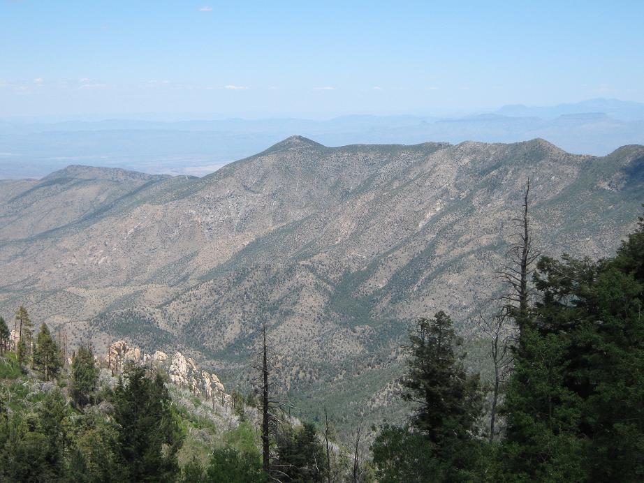
We had a good hike and the scenery was lovely. The main difference on this hike was the abundance of snow. By the time we arrived onto Rice Peak's top, the snow was about a foot deep here, and up to three or four feet on its north-facing slopes.
So we descended into the snow and tried to seek out the highpoint. I used my GPS to gauge elevation and compare across to the rock knobs and felt we did a good job, given the uncertainty. The hike was enjoyable and we took our sweet time ... almost too much time, as we realized it was about 3 p.m. and we needed to get moving to beat the dark. Actually, it wasn't as dire as it sounds. Rather than reascend Rice Peak, we descended from the highpoints down a road-cut to the road, and were back to our truck as it was getting dusky.
The drive home was boring, with moments of terro ... no, wait, sorry. That was with Ken. The drive home was unexciting and we tried to find somewhere to eat in Florence and Coolidge, but they have nothing much, so we waited until back home before finding a place to eat.
Update, Oct 2003: Much of the northern slopes of the Catalina Mountains, which includes Rice Peak, were wracked by the enormous "Aspen Fire" over the summer of 2003. The fire assuredly burnt much of the area, making for a possibly very different landscape than as we found it in March.
In 2017, I was interviewed for an article that appeared in the Pinal County newspaper:
|


|