The Mountains of Arizona
• www.surgent.net
|
| Sala Benchmark |
• Dragoon Mountains • Coronado National Forest • Cochise County |
|
Date: November 19, 2023
• Elevation: 7,411 feet
• Prominence: 1,264 feet
• Distance: 2.8 miles
• Time: 2 hours, 30 minutes
• Gain: 1,310 feet (gross)
• Conditions: Cold with low fog/clouds, very breezy, clearing later
Arizona
•
Main
•
AZ P1K
•
PB
•
LoJ
•
USGS BM Datasheet
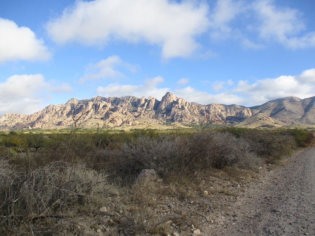
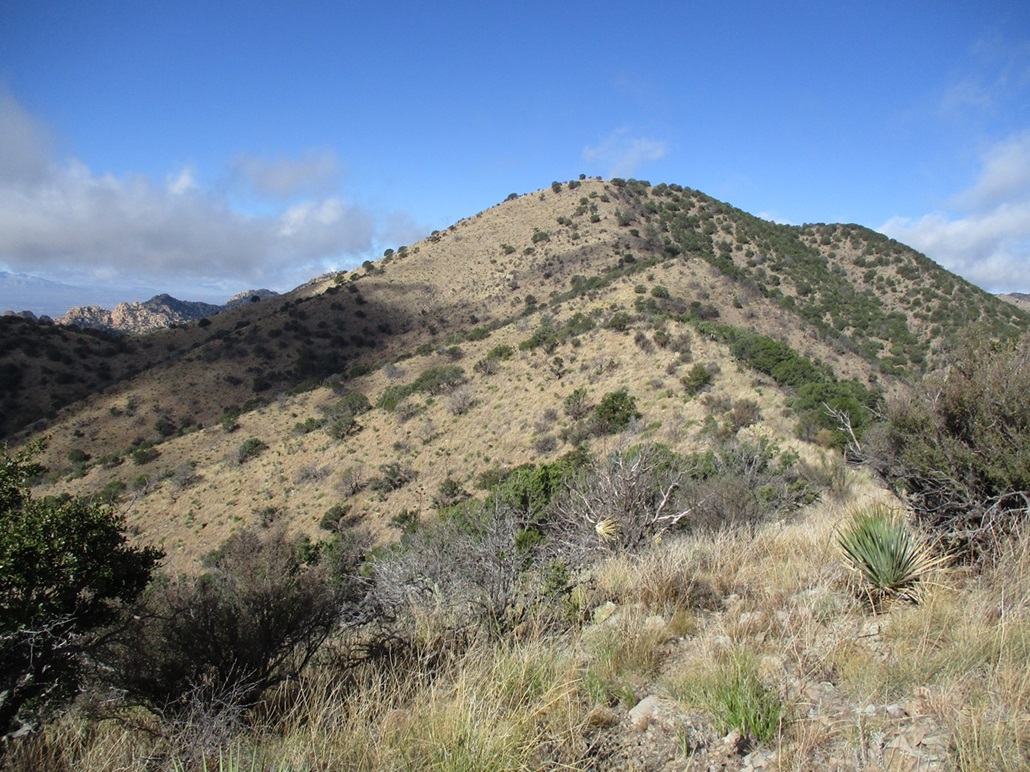
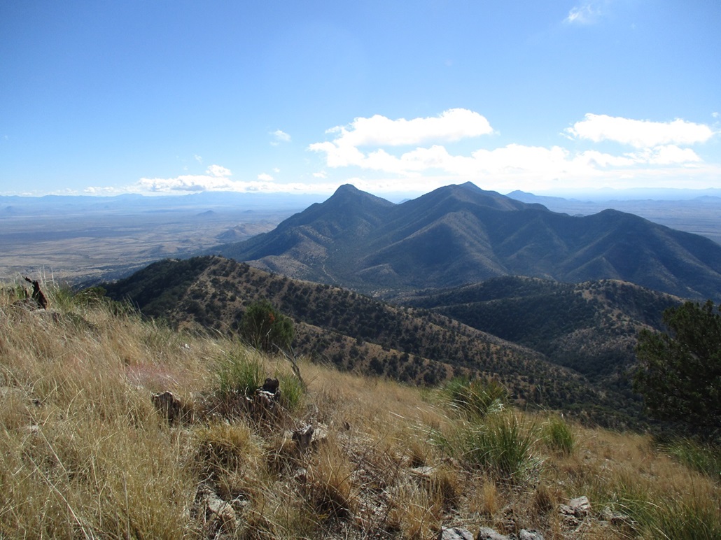
Sala Benchmark tops a long ridge that comes off the highest peaks of the Dragoon Mountains. The ridge and peak lie east of the rocky Cochise Stronghold, where the famous Apache Chief Cochise is entombed, its location likely a secret forever.
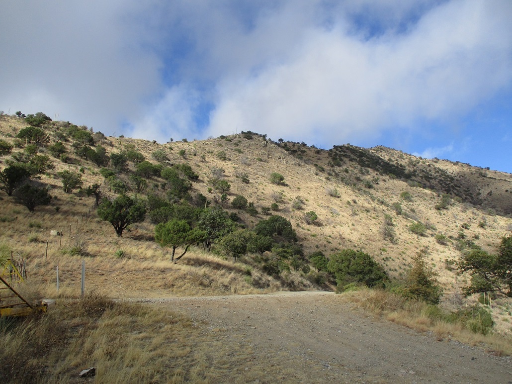
From Bisbee, I followed highway AZ-80 northwest into Tombstone, then a little north of Tombstone, took a right onto Middlemarch Road. This road is paved for about a half mile, then a wide solid dirt road all the way to the Coronado National Forest boundary. The land in between is mostly hilly high desert, split between private and State Trust ownership.
At the forest boundary, the road is now numbered FR-345. I angled right, the road a little narrower now but still easily drivable, and I was able to get all the way to Middlemarch Pass. My odometer said it was 13.7 miles from the highway, and it took me about a half-hour.
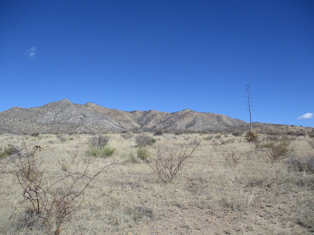
The day was cold and blustery with low clouds and fog in the river valleys. The clouds were low enough to shroud the high ridges and peaks, but they were blowing through fast and would likely be gone by noon. It was about 9 a.m. when I parked in a small clearing at the pass. The wind was heavy here and made it feel colder. I bundled up in jeans, fleece, a cloth neck gaitor and wool hat, and started walking at 9:15 a.m..
I knew from past reports there is a trail to the top, but how good it was, or how much of the route was trail, I did not know. I couldn't see a trail when I started, so I just walked uphill along a fence line and within minutes, found a scant path that slowly gained distinction into a beaten trail. This initial segment was steep and sloppy, but it got me to the ridge crest quickly. All I had to do now was hang a right and keep walking uphill to the top, still a mile away.
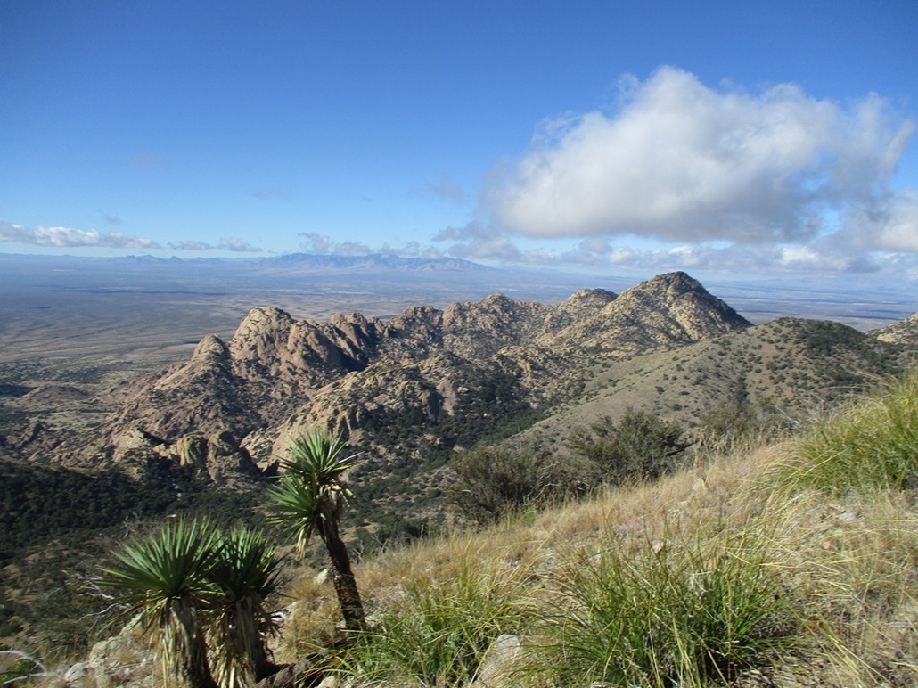
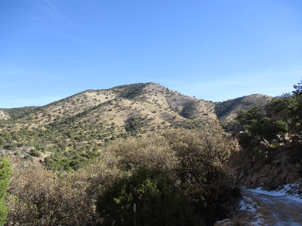
The trail was now easy to follow in the grassy hillsides and it generally stayed left (west) of the ridge, whereas the fence stayed on the ridge exactly. Who put the trail in, I don't know. I wondered if it was perhaps a path used by the Apache back in the day, as it is close to the Stronghold and there would have been good reason to want to get to the highpoint to watch over things. But I have no way to know that for sure. These days, it's used by hikers, hunters and the fence workers.
I walked the trail, one step after another. It was often steep and loose, and tedious, but it went up and fast, which I always prefer. It got a little narrow in places. The downhill slope was steep and a slip could mean going downhill a ways. I moved attentively.
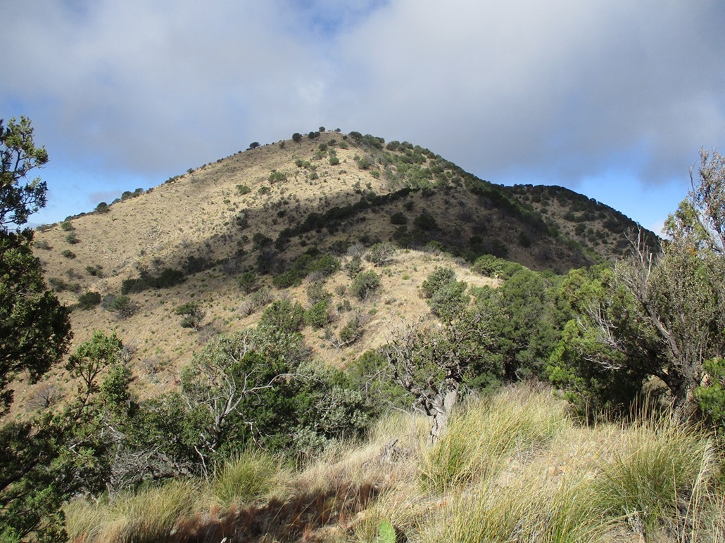
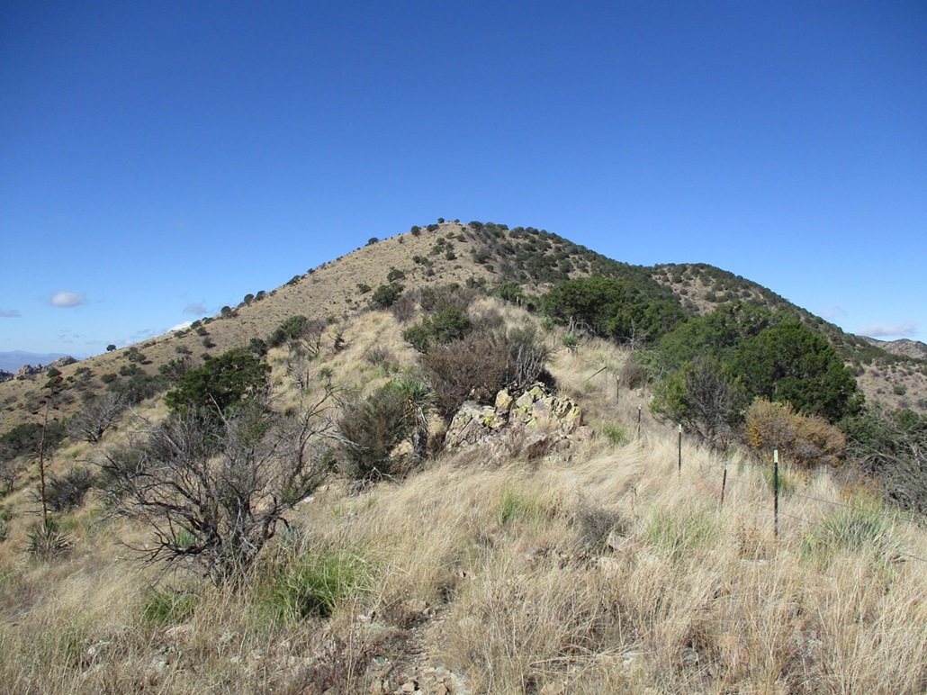
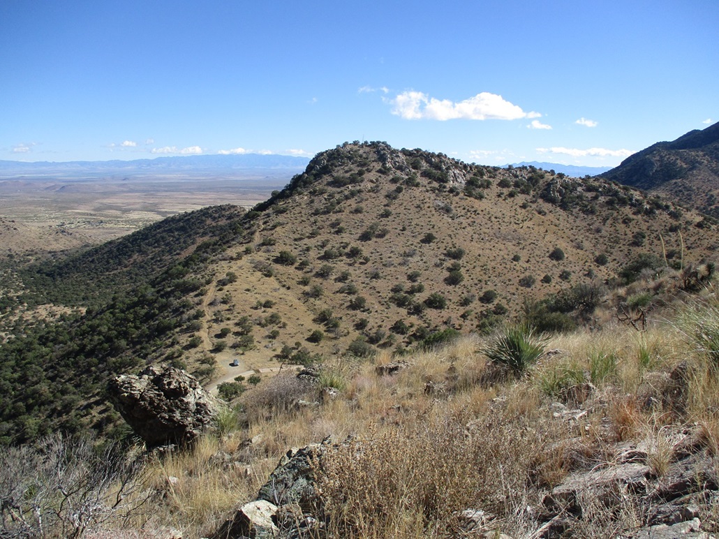
The trail eventually achieves a highspot about midway up, at which time the peak itself becomes visible. Here, the trail levels and even drops about 40 feet. The fence workers left a pile of fence stakes and coiled barbed wire at the last saddle. The fence looks relatively new and kept up, probably refurbished within the last 5 years.
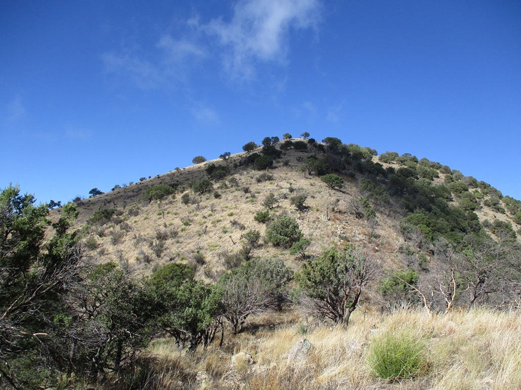
The trail angles left again and cuts across the western slope, now with great views down into the Stronghold. Then the trail makes a hard right and steeply gains the last hundred feet or so to top out on the summit. The one-way hike had covered about 1.4 miles and taken me just over an hour.
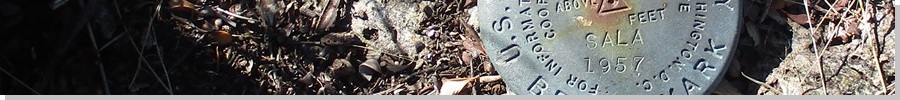
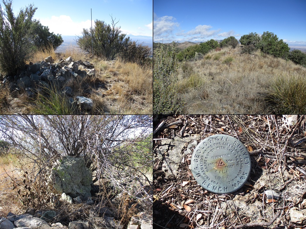
The top is a short ridge with a pile of rocks and a metal pole nearby with the benchmark flush on a lower rock. Another rock in a bush nearby could be higher. I tagged them all. I then want back to the rockpile and sat, finding a register. It had two log books, so I signed in both. Entries went back almost 20 years, mostly the usual names, with about five parties in 2023 alone. The Southern Arizona Hiking Club comes here every year or two.
It was chilly up here but pleasant, the clouds mostly gone by now. I snapped a few images and also relaxed at the rock pile, spending about ten minutes up top and enjoying the experience. Wouldn't surprise me if Cochise or Geronimo once stood on this very summit.
On the downhill hike, I moved carefully because gravity likes my 215-pound butt and I didn't want to be slipping and tripping on the loose rocks. I moved slowly, taking about the same time to descend as I did to ascend, arriving back at my car at 11:45 a.m.. Logistically, the hike went well and was easy. The trail is just a use-path and can be haggard and narrow, but it was easy to follow.
Some guys in a Jeep rolled up as I was back at my car changing and we had a chat. They were scouting side roads and were surprised I had hiked the ridge when I pointed at it. They were cool and gave me some information on the roads past Middlemarch Pass.
I got what I came for, so I changed and then slowly drove back out the way I came, stopping in Tombstone for snacks, then back to Bisbee by 1 p.m..
|


|