
The Mountains of Arizona
• surgent.net
|
| Santa Benchmark & Cerro El Tordillo attempt |
• Patagonia Mountains • Santa Cruz County |
|
Date: November 8, 2026
• Elevation: 4,299 feet ✳
• Prominence: 343 feet
• Distance: 5.8 miles
• Time: 2 hours
• Gain: 662 feet
• Conditions: Breezy and brisk, sunny with few clouds
Arizona
•
Main
•
PB
•
LoJ
Today's exciting adventure was a climb up Peak 5346, or Cerro El Tordillo. The peak lies on the border with Mexico, the highest point inside the United States by about 250 feet. Mexican maps give the peak the name "El Tordillo".
I met with my day's hiking partner at our agreed-upon starting point, Coronado Forest Road 4671, which juts off FR-61 (Duquesne Road) about eight or nine miles east of highway AZ-82. I rolled in a little before 7 a.m.. My partner was already there, talking with a couple Border Patrol agents. The day was chilly with a very heavy breeze, gusting into the 30 miles-per-hour range.
The road, FR-4671, gets most of the way toward the peak, and the BoPo agents said it was okay to go there. Satellite maps show border-wall construction south of the peak, along the actual USA-Mexico border.
We were able to drive up this side track about a mile, gaining about 380 feet. I parked in a pullout atop a small hill along a ridge, my partner parked a little ahead of me. I got properly appointed and started walking toward my partner, then the both of us started the road walk.
The road gets rough where it gains steeply uphill, but one guy in a big beefy truck with aggressive tires got up it fine. We walked the road, heading generally south. In about an hour we were approaching the peak.
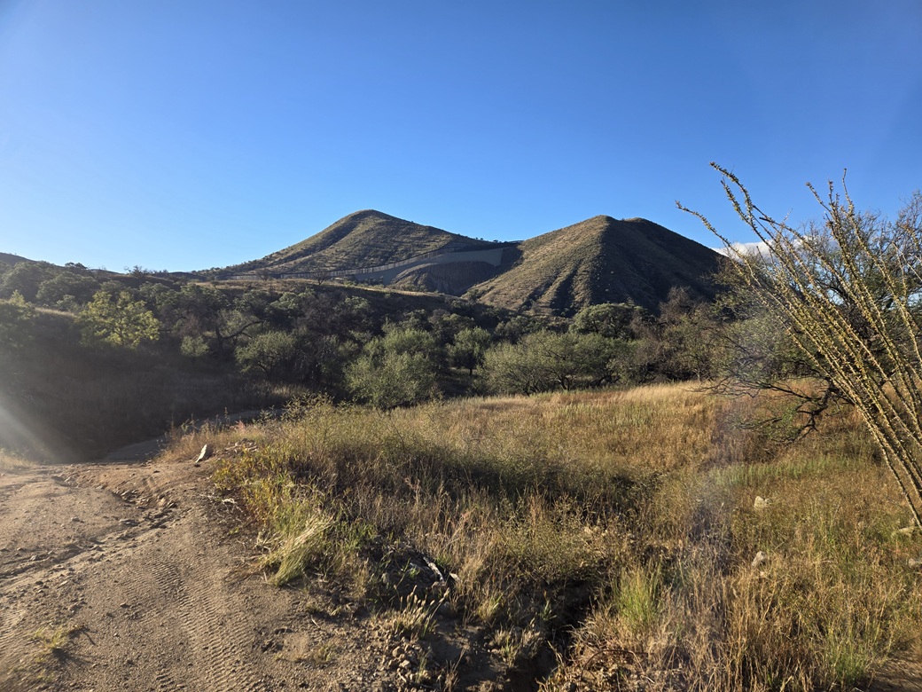
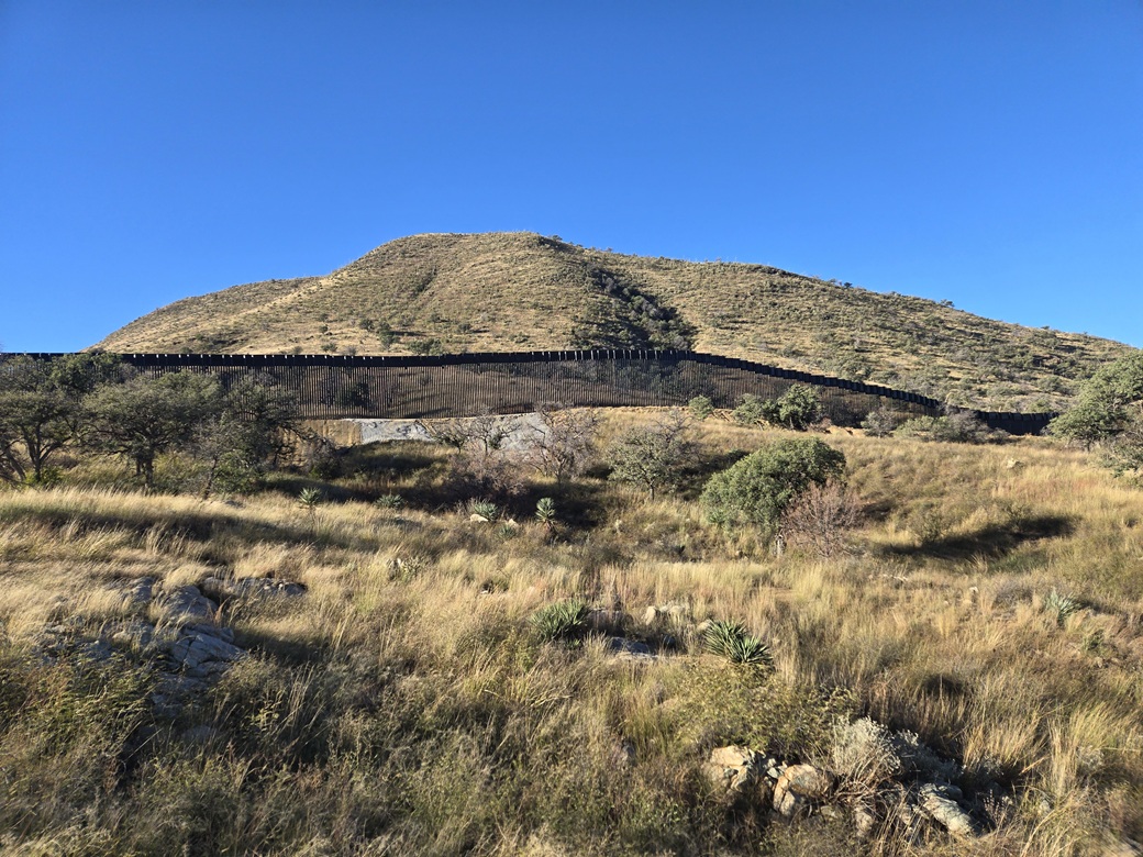
Suddenly, things did not look so promising. A wall had been built crossing over the high saddle north of the peak. This wall was not expected and certainly did not appear on the aerial images. We walked anyway, hoping we may get lucky.
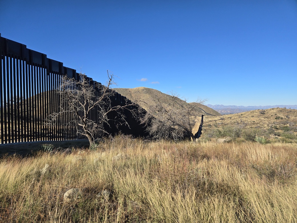
We eventually got ourselves to the actual wall. My partner spoke with a worker who was not happy to see us. We decided to walk alongside it east, down and up to the next rise, hoping there may be a breach.
Along the way, a worker/security guy on the other side rolls up in his vehicle and talks to us. He was very friendly and gave us a lot of very useful information. There are actually two walls running parallel, the actual border wall, then this one about a quarter mile inside the United States.
The idea is that these two walls create an exclusion zone. No one can go there from either side. It is (and will likely be for a long time) a no-man's-land. The Border Patrol will drive within it, but your casual everyday hiker will be shut out.
I was disappointed, but not surprised. I did not expect to see any breaches in the wall, no spots to squeeze underneath. The damn things are about 35 feet high, the slats about 3 inches apart. The base is concrete.
The security guy, while friendly, let it be known that we're already in an exclusion zone. It was apparent there was no way he was going to let us through, and personally, I got the feeling we should bail. I was uncomfortable, not knowing who might be coming down the road for us as we hike out.
I'm not happy they need two walls. This essentially shuts off a swath of land along the entirety of the border for who knows how long. I was bummed not to be able to climb the peak. It looked like an attractive peak, too.
At this point, my partner took off upslope, north of the wall and where we were standing. I stood back and spoke some more with the guy, plus a couple more who had shown up. Where my partner went, I don't know. Just up somewhere. I called out. No answer. I stayed for about twenty minutes.
After awhile of standing there, I left. My partner is skilled and experienced so I was not concerned about "their" safety. I walked out the entire road myself, back to my car, arriving at 10:15 a.m..
I had my GPS running. It said we had hiked 3.8 miles one-way, so double that overall. The gain wasn't much but there was a lot of up and down. I was still feeling bummed for being shut out of this peak.
The day was still young and the weather gorgeous. It was sunny and clear, still breezy but not as cold. I wanted a peak to tag, so I looked over at Santa Benchmark closer toward Nogales.
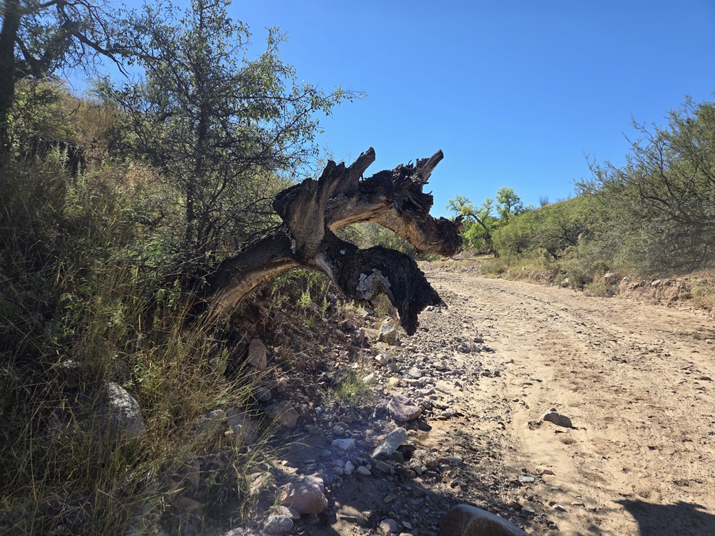
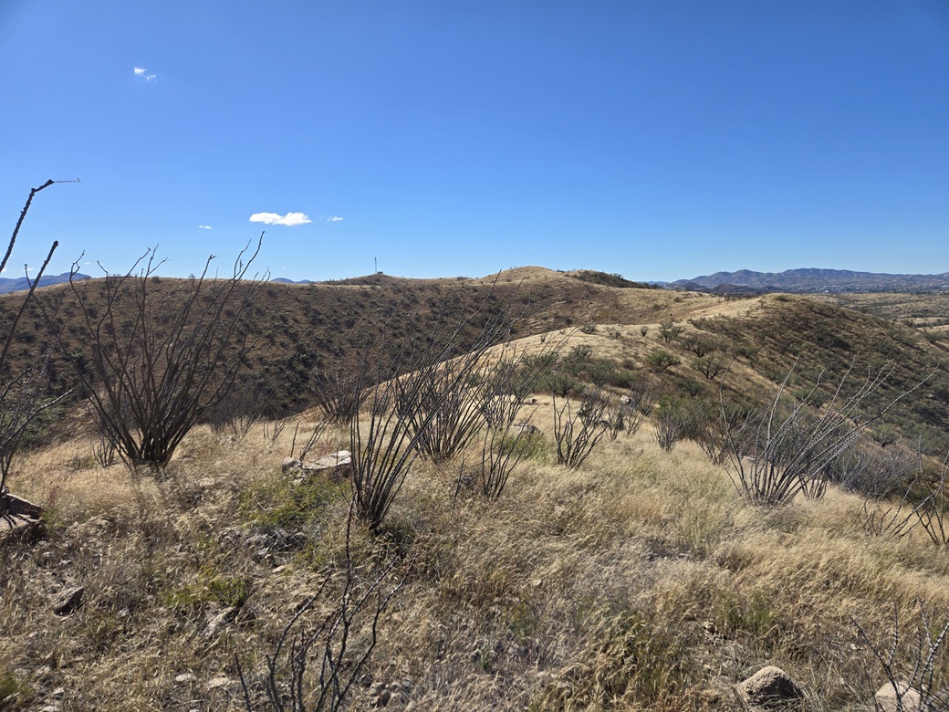
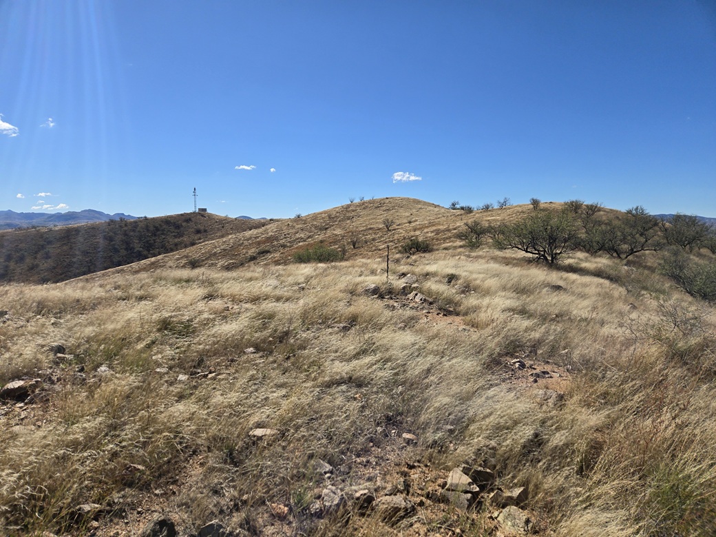
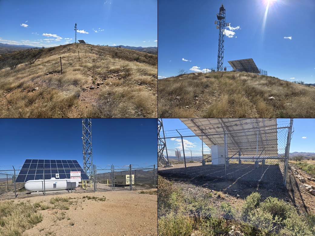
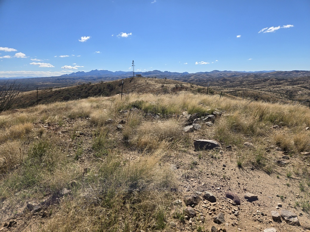
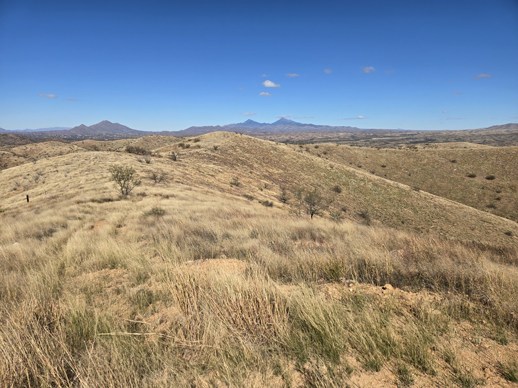
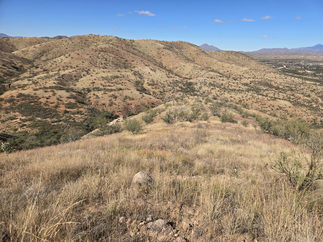
I drove out Duquesne Road, all the way back to where it meets AZ-82. This is a community called Kino SPrings and there is a small elemntary school at this corner. Santa Benchmark rises in the hills south of here. I drove out the the highway briefly, then onto Kino Springs Road, driving it to inspect it for parking and to get a feel of "how private" this area is. The good news is that there are no homes along it (or one, but it looked uninhabited). Nevertheless, I chose not to park alongside the road. My car would attract attention. So I drove back to the school and parked off the road in an open spot not marked against parking. It was about 11 a.m. now. I went light: just a water in my fleece vest, my poles, camera, keys and wallet. Parking here would add about a mile and a half each way. I walked over the bridge spanning the Santa Cruz River, then onto Kino Springs Road. A side channel, the Yerba Buena Canyon, branches south. Santa Benchmark is the highest point on the hills to the southeast of this canyon. At this canyon, I left the road, ducked into the trees then into the canyon bottom, which is a wide gravel river channel, a feeder into the Santa Cruz River. About a hundred yards in, I came to a fence with a "no trespassing" sign. But I also saw dozens of footprints. The fence was just a couple feet high and flimsy. I stepped over it. I figured this is probably where the locals come to hike and walk the dog. I saw footprints well into canyon. Not just a few, but everywhere. I walked for about fifteen minutes into the canyon. It was always wide and easy to walk, just a few boulders in places to slow me. I walked until I saw a promising slope to my left to ascend. Down low, it was very loose and brushy, but soon, the grade lessened slightly and the brush wasn't so bad. I just aimed uphill and walked up this slope. This fed me onto a small nubbin, about a 250-foot gain. I could see the upper ridges better from here. I angled south and started up another slope toward a hilltop. Way in the distance I could see a tower, and a small bare hump nearby it, this the presumed summit. The terrain was grassy with a lot of rocks, but it was easy to move through. I ascended another nubbin, and ahead was the summit. Another ten minutes and I was atop it. It had taken about an hour to get here. The summit is open and grassy, with a small clump of rocks at its center. The tower was on the next bump over, about a five-minute walk. I was there quickly. I made one revolution around the tower fence. The highest land seemed to be around its back. Looking back and forth between the two peaks, it is impossible to tell which is highest. I was at both, so I was covered. Later, Lidar would report the tower summit is about a foot lower in elevation than the presumed summit. In fact, it may have been higher before its top was graded for the tower. From the tower, I walked back to the Santa summit. I found a register and signed in, the second for 2026, but not many overall. The register was one of Bob Martin's, placed here in 1991. I also looked for Santa Benchmark, but found nothing. No reference marks or anything. There is no datasheet for it. If it ever existed, it's long gone now. The name, I assume, is for the Santa Cruz River. I didn't stay any longer than I needed to. The views were good, but I figured I should keep my visit short. I retraced my entire ascent route exactly, since I knew what to expect. I just had to be very careful on that steep lower slope dropping into the river channel. Then it was an easy and brisk walk back to the road and then back to my car, a two-hour round trip covering just under 6 miles. I was feeling good but tired. Combined with my earlier hike, I put over 13 miles on the feets today. Back at my car, I just piled in and started driving, aiming for Bisbee. I did not stop until I was in Bisbee, where I stopped at the main coffee and sandwich place downtown for a sandwich for later. I was pleased with my success on Santa. It made up for the disappointment of losing out on Tordillo. My partner later texted me that they were back out and doing fine. So that was a relief. |

|