
The Mountains of Arizona
• www.surgent.net
|
| Peak 3968 |
• Mazatzal Mountains • Tonto National Forest • Maricopa County |
|
Date: October 29, 2025
• Elevation: 3,968 feet ✳
• Prominence: 399 feet
• Distance: 2.25 miles
• Time: 1 hour, 20 minutes
• Gain: 488 feet
• Conditions: Sunny, some cloudiness
Arizona
•
Main
•
PB
•
LoJ
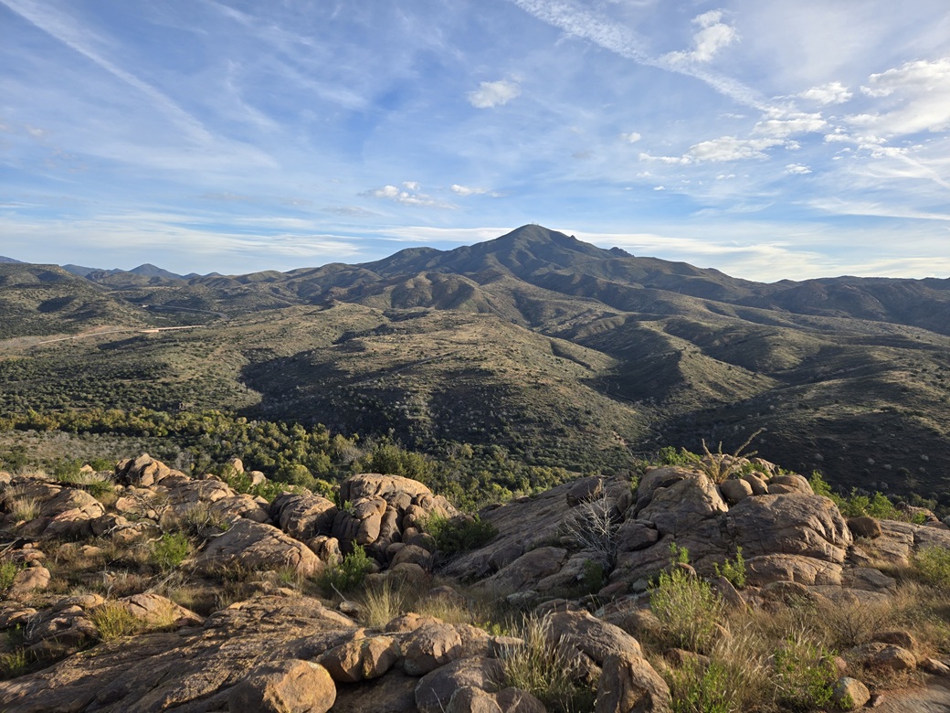
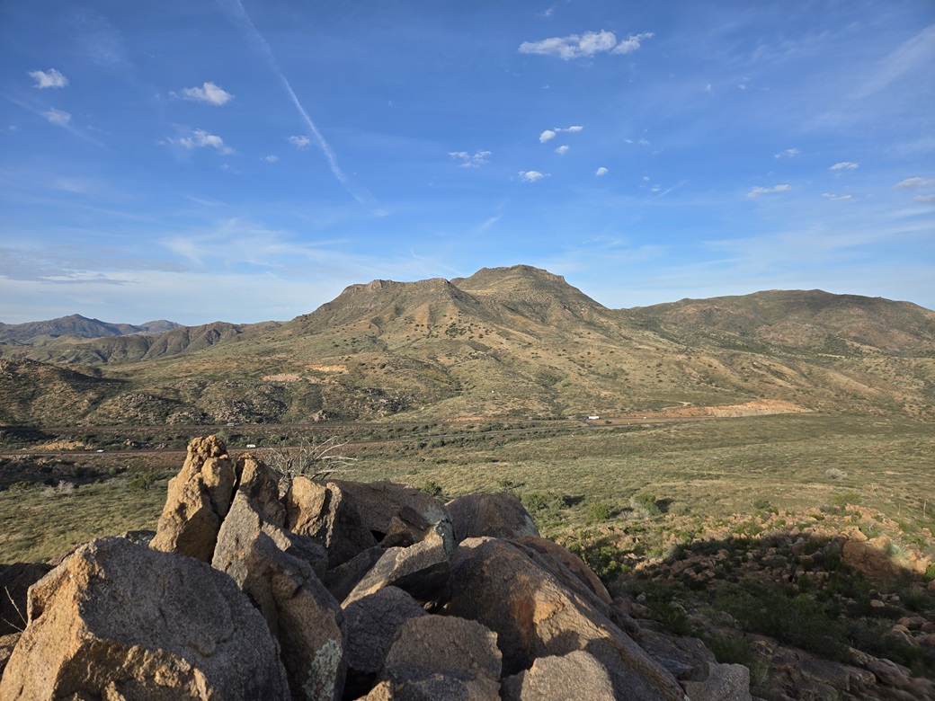
This peak is just a foothill within the Beeline Highway corridor of the Mazatzal Mountains. It rises south of the village of Sunflower, immediately east of the highway. The biggest nearby peaks are Diamond Mountain to the west, and Crabtree Butte to the southeast.
I wanted to explore this peak because it looked short, and was an excuse to come back to this area, which I have ignored for a few years now. I was up and on the road early, about 6 a.m., heading northbound up the Beeline (AZ-87) for about thirty miles until I was in the general area.
The peak comes after a steep uphill heading northbound, just before the highway drops a little bit into Sunflower. I did not go as far as Sunflower. Instead, near the highway's apex, I went left onto Tonto Forest Road 1706 and drove in briefly, parking in a pullout. It was about 7 a.m. now, sunny and cool.
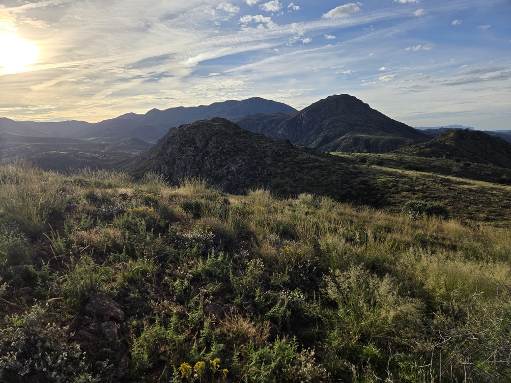
The peak rose just across the way. It has a long ridge shape, with two summits, the southern one (my right) being highest.
I got dressed, long pants this time, and started walking soon thereafter. I walked back to the highway, and crossed both branches. Fortunately, the highway is split here so I did not have to cross four lanes all at once. I crossed two, then walked the median, then crossed the next two, then quickly hopped onto the berms and into the grass and brush.
I angled left and followed the slope that way. The route would bend east then southeast toward the peak. It was not a direct line, but it looked like a better option than dealing with more drops and brush.
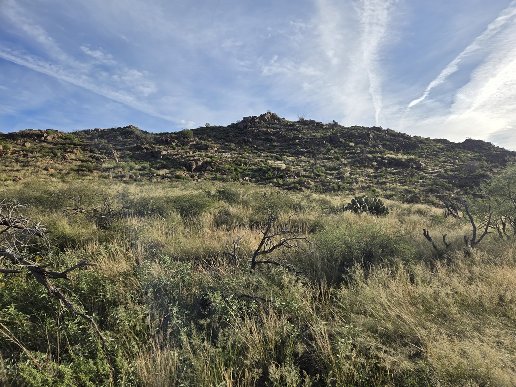
The brush was already a chore. The grass was knee high and very thick. I could not see the ground nor my boots. It was still chilly for now, so any snakes would still be laying low. The brush was thorny acacia, the "wait a minute" brush common to the Mazatzals.
The hiking was not hard but the grass and thorns slowed me. There was a little more open space and rocks the higher up I got, and I ended up ascending almost all of the lower north summit just to have clearer lanes.
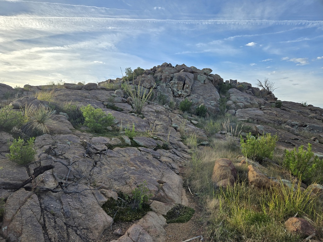
The true summit was close by. It is much rockier than the false summit. I had to descend about a hundred feet, then walk upward through more grass and brush and more rocks. I never scrambled or used my hands but I had to step carefully and mind my feet on the rocks.
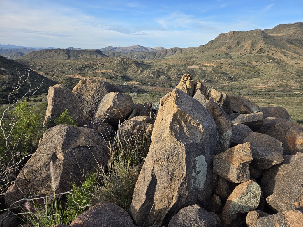
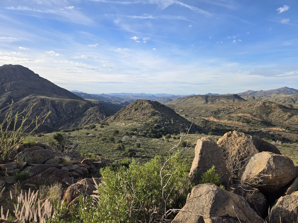
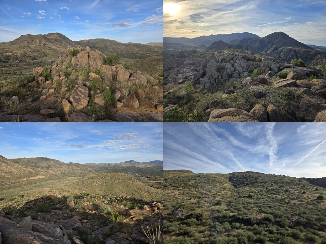
I was soon on top of this little peak. Its very top is a rocky jumble, easily scaled. I found a register and signed in, not too many people having signed in at all. The sun was still low so I had good light for images to the west, south and north, and glare to the east.
It had taken about 45 minutes to get here in a little over a mile of thorny hiking. I did not stay too long. I did not want to repeat my ascent route. Instead, I dropped directly off the west face and just walked down the long western slope.
This went well, but I still had a lot of grass and thickets of this acacia. My shoelaces came untied about a half dozen times. I think I set a record for most times shoelaces came untied on a hike. Even if I added an extra half-overhand, it still got undone. The thorny crud catches everything.
I eventually dropped into a drainage that parallels the highway. The highway itself is built up on a berm about 30 feet higher. When it seemed right, I picked a spot and grunted up this berm. It was loose and not easy to scale, but I got up it.
I then just walked alongside the highway about a quarter mile to where I could cross it and get back to my car. I was back a little before 9 a.m., glad to be done and a little scratched up.
I had low expectations for this peak, and it didn't disappoint. The peak itself was okay, but the grass and brush was bothersome. I remembered why I have ignored the Mazatzals for so long.
After changing, I headed down back into the borg, and located myself onto the ASU campus where I had things to do and classes to teach later that evening.
The only peak in this area that interests me is Crabtree Butte, but every angle I view it, it looks like a nasty peak to scale. The map suggests a longer slope to the southeast, but how to get to it, I have no idea.
|

|