
The Mountains of Arizona
• www.surgent.net
|
| Tonto Mountain |
• Sierra Prieta • Prescott National Forest • Yavapai County |
|
Date: September 9, 2026
• Elevation: 5,636 feet ✳
• Prominence: 495 feet
• Distance: 2.6 miles
• Time: 1 hour, 35 minutes
• Gain: 760 feet
• Conditions: Cloudy, warm, tolerable
Arizona
•
Main
•
PB
•
LoJ
•
USGS BM Datasheet
Today being Wednesday and my day off between teaching, I was in the Prescott area tackling a pair of peaks. After a very early start in the big city, I was able to climb Peak 4935, down by where Wagoner Road leaves highway AZ-89 at Kirkland Junction.
It was just short of 8 a.m. when I finished that peak. The day was warm but cloudy, although no storms were expected. The clouds had the effect of mitigating the sun's heat, but increasing the humidity. When I left Peak 4935, the outside temperature was about 80°.
I had a couple ideas for a second peak, and chose this one because it would be higher in elevation (thus, cooler) and it had a rough path to the top. Tonto Mountain rises about a dozen miles north of the community of Skull Valley, about 20 miles on a straight line from Prescott. It's within the Prescott National Forest, but private property surrounds the forest lands. Fortunately, the roads in were not fettered.
Back on AZ-89 from Wagoner Road, I was on it for a half mile, taking County Road 15 into the community of Kirkland, catching Iron Springs Road (County Road 10). I stayed northbound on this road about six miles (I did not keep close track) into Skull Valley, then another six miles before turning left (north) onto Tonto Road, which is signed.
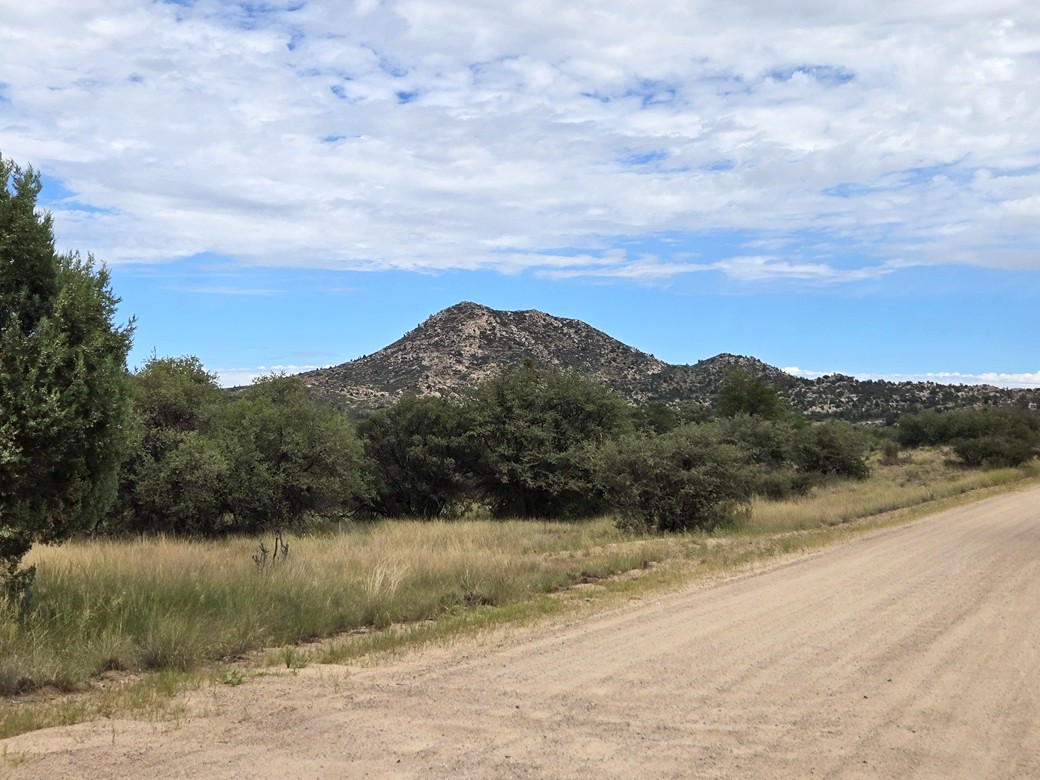
Tonto Road runs about another five or six miles north, first through private and State Trust lands, then entering the forest. The peak could be seen from far away, a rocky peak set apart from its surrounding peaks.
The road (also designated FR-66) was a good road, and I made decent time. Once I was abeam of the peak, I looked for a lesser track, FR-9407S, heading west. I pulled in and parked. The immediate area looks like a small camping area with parking loops and fire rings. I got out, realizing I had parked right over a big ant hill. I drove in a little more, parking beneath a tree, hidden from the main road.
It was warm and humid, but a little cooler, in the mid-70s. The clouds were thick and muted the sun. I was already dressed and ready, so I was on the move quickly, starting the walk at 8:40 a.m..
I hiked up this road, which wiggles uphill through the rocky slopes, before making a left turn, heading south toward an antenna building. I was aware of a use trail that picks up somewhere around here.
Before the road made one final left bend toward the antenna, I found branches spread across an opening in the grass. Sure enough, it was the trail. The branches, while presumably there to keep hikers out, helped me in finding the path. I do not believe there is any prohibition to hiking this path. My guess is the trail is not an officially-maintained trail, so this is the Forest Service's way of saying "we tried to keep people away".
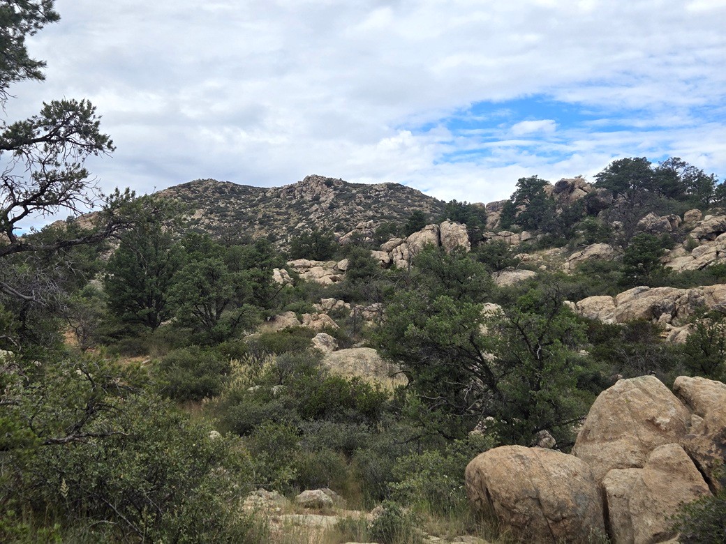
The use path was well defined. It passes through high grass, then into the rocks, heading up a narrow opening where sometimes I had to high-step up and over the rocks. Once past that, I was elevated enough to see things better. The path remained easy to follow.
I stayed on the path as it aimed for the peak, which was now plainly visible. It comes to an open cleared area at the base of the steeper upper half of the peak. So far, things were holding steady. It was warm with no breeze, but not too uncomfortable.
The upper half of the trail makes a leftward bend, then just aims straight up, always trending left. It was a surprisingly good path, easy to follow and with good tread. I never once lost it. It made the hike go by fast.
The upper half of the upper half was steepest, now approaching the highest ridge. Things got a little slippery and slidey at times but I moved slowly. My wonky back (see this page) was doing much better but I was taking no chances.
I was soon on the upper ridge, the summit to the left (south). I hiked through a little more brush, aiming for a big rock. Once at it, the brush lightened and I had a little more to go, achieving the summit about 45 minutes after starting.
The summit features rings of low stone walls, ruins from the Indians that lived here, these ruins dating back a few hundred years. It did not look like a living space. It just looked like low walls to better conceal themselves while scouting.
I spent a few minutes inspecting the walls and taking images. The benchmark was flush into a rock, but scratched up to where it was unreadable. Above me and to the east was clouds. However, west and north was blue sky. I could see the big volcanos Bill Williams and Humphreys off in the distance. I could also see Mount Floyd, plus many peaks looking west, one of them possibly Mohon Peak.
I spent about ten minutes up top, having a short break on a convenient sitting rock. I was tired and sweaty but feeling good. My back was doing very well, no pain or limited movement at all. Just a slight residual tightness at the lowest point, the base of the lower lumbars.
Going down, I followed the path down and made very good time. Back on the road and almost to my car, I tripped slightly. The sudden jolt actually helped my back. I heard a pop and that tightness seemed to alleviate slightly. I was back to my car at 10:20 a.m., a one-hour and 40-minute round-trip hike.
This hike had gone very well and I enjoyed the scenery, the path and the old ruins. I was happy to have a two-peak day. I debated returning to Phoenix via Prescott. I decided to just go back the way I had come in, via Yarnell and Wickenburg. I was back to my hotel about 1 p.m., hot and nasty, but I was feeling good. I showered and rested.
I logged into my classes and saw that I had essentially nothing to do. No big fires, everyone working on their stuff. That was good. That night, I did something I hadn't done in 6 years: went to see a movie at a theater.
|



|