The Mountains of Arizona
• www.surgent.net
|
| Turkey Peak |
• Mogollon Rim • Tonto National Forest • Gila County |
|
Date: April 1, 2020
• Elevation: 7,063 feet
• Prominence: 603 feet
• Distance: 2 miles
• Time: 1 hour
• Gain: 464 feet
• Conditions: Sunny and pleasant
Arizona
•
Main
•
PB
•
LoJ
Turkey Peak is along the same ridge of heavily-forested hills that come off the Mogollon Rim, with easy access via Colcord Road, about 25 miles east of Payson. I was here a week ago, hiking Christopher Mountain. Turkey Peak is about five miles east of Christopher Mountain. It is slightly higher in elevation but lower in prominence.
I planned to hike it this morning, as I had a few hours open. However, the skies were cloudy, a grungy layer of gray. It was not too cold, but I did not want to be hiking in these conditions. So I stayed home and tried to make myself useful. I read emails, did a zoom meeting and did my best to handle this "stay at home" directive due to the covid-19 situation.
Well, 3 p.m. came by, the skies had cleared to a wonderful blue, the temperature was perfect, and I was feeling antsy. The directive as of the moment is that outdoor recreation is still permitted, assuming we don't collect into big groups. As long as that's the case, I will continue to go outside, but just keep my distance from people.
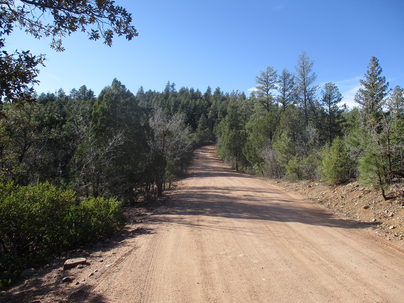
I left the house at 3:20. My stuff was already in the car. This is a late start for me but the hike looked short, possibly less than a mile round-trip if I parked as close as possible. I drove up AZ-260 to the Colcord Road exit, then followed Colcord Road east about five miles to Tonto FR-200 (also known as the Chamberlain Trail), signed for Haigler Creek and Young.
The road crests a small pass just east of the summit, at elevation 6,734 feet. If I could park here, the hike is just 0.3 mile each way up a ridge to the top. The road is in great shape. Since I was making good time, I deliberately parked early, in a pull-out near "BM 6599". This would add 0.65 mile each way to my hike, so that my total hike would be 2 miles.
I started hiking at 4 p.m., the temperature just a shade cooler than down in Payson (about the low 60s). I walked the road to the 6,734-foot pass, passing some groups of campers, all scattered about like good citizens. At the pass, I entered the forest and started uphill.
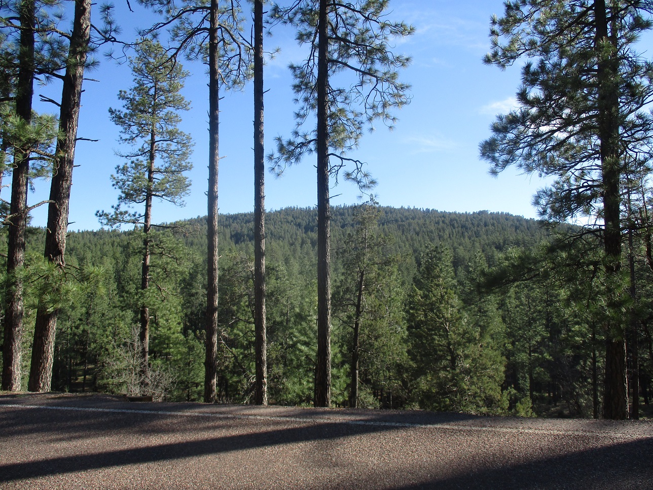
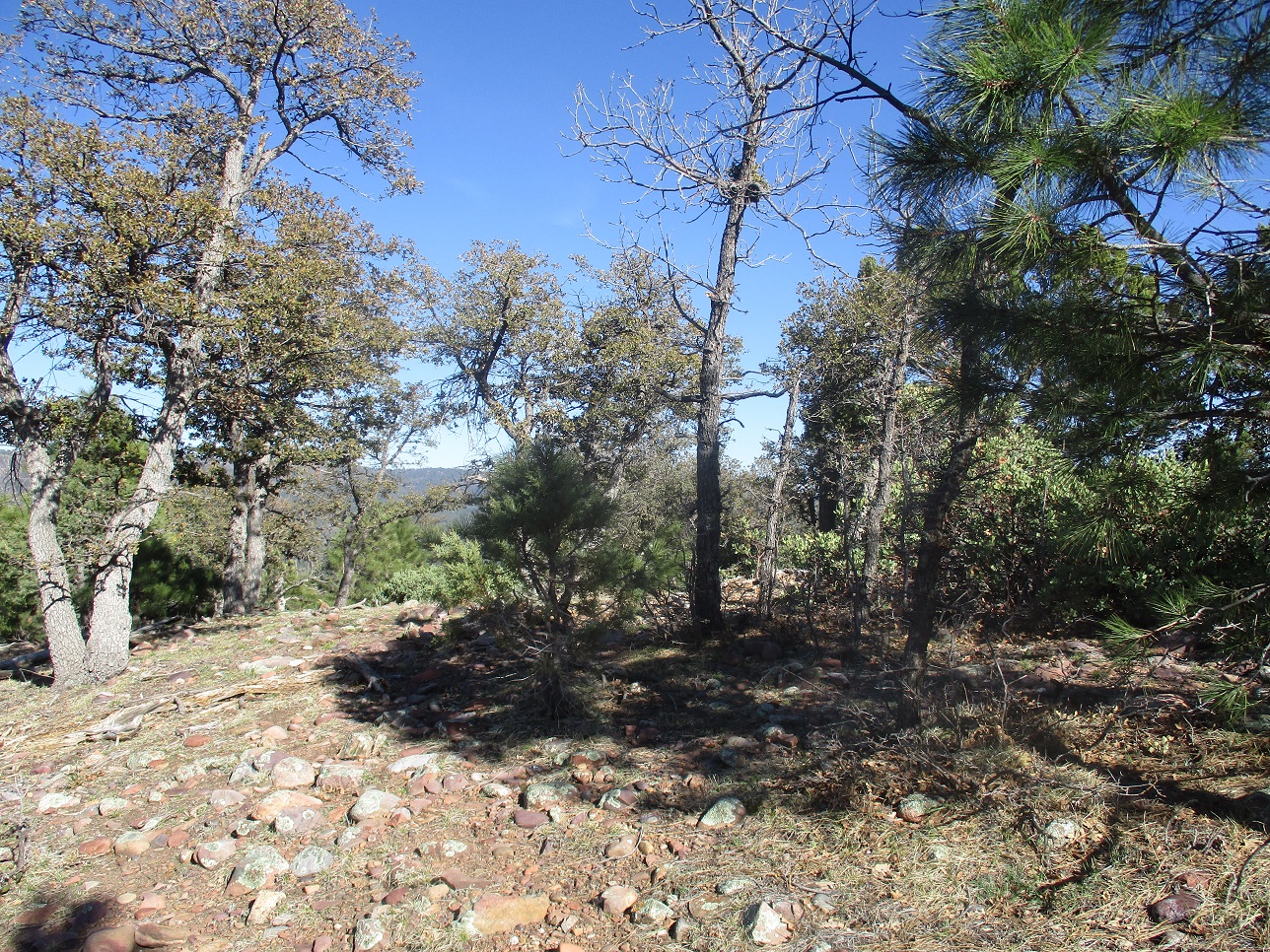
The going is steep at first, then moderates the rest of the way. The lower growth was mainly grass, some mountain oak, and small adolescent trees that grew close together. Thus, I had to zig and zag to get around these barriers. The larger growth was mainly ponderosa pine. The upper canopy was thick and permitted no views except in rare cases.
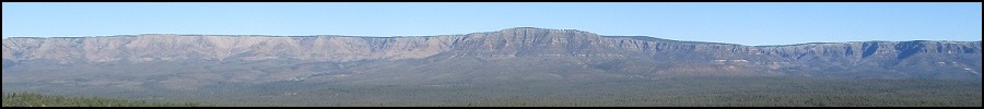
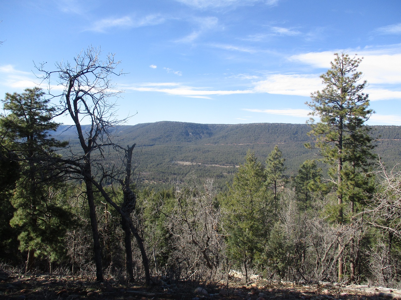
The route was simple to follow: keep to the ridge and it should lead to the top, which it did. I was on top in about a half-hour after starting. There was an opening where I had some decent views of the Mogollon Rim cliffs and lots of surrounding forest.
Going down, I knew I'd need to pay more attention than usual, since keeping a bearing in this thick tree cover would not be easy. I retraced my route, staying on the ridge, and I was back to the road in a matter of minutes. While I had no navigation issues, I was reminded how easy it is to see a ridge in the trees and it looks as good as the two others nearby. That's how people get lost (as I did in 2007, for this very reason).
I hiked back to my car. Along the way, a woman in a pick-up pulled up beside me to tell me the forest was closed. I said something like "oh gosh, really?", but I knew it was not closed. She was just a local, no formal authority. Parts of the forest have closed, true, mainly areas where people are likely to group together. But scattered recreation is still allowed... for now. There were no posted notes or signs or shut gates. Anyway, I was back to the highway a little after 5 p.m., and home not long later, with a side trip to the Culver's drive through.
Turkey Peak got me an hour of exercise and a peak, but it is not really an interesting hike. Like nearby Christopher Mountain, it's too forested for any views and lacks any other appeal, other than it's easy to get to. If you are in the area, it's an easy peak to tag. I would not suggest to make this your primary destination, though.
|


|