The Mountains of Arizona
www.surgent.net |
|
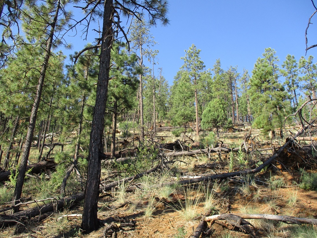
Twin Knolls East Peak • Turkey Mountain • Brushy Mountain These three peaks lie in the Apache-Sitgreaves Forest east of Show Low, all three being conical bumps of volcanic kibble and covered in heavy forest. None of the three are particularly notable, and were chosen primarily because I had not hiked them before, often overlooking them for more interesting peaks in the area. In a sense, this was a chance to "clean up" a few of the peaks in the area that I would otherwise ignore. My main goal was Albuquerque, New Mexico. I was leaving Phoenix for a week to travel to Albuquerque, and wanted to break up the drive. By today's end, I wanted to be somewhere close to Madre Mountain in New Mexico, between Pie Town and Datil. Madre Mountain is a major summit in that area and was my main objective for the trip. The peaks featured here on this page would just be short leg-stretchers, to get some conditioning in. Phoenix has been experiencing its most intensive heat wave ever, and that's saying a lot for Phoenix. The high temperature for each day since July 1 has been at 110° or higher, a streak that would reach 31 consecutive days (the old record was 17, I think). The highs were often between 115°-119°, and the overnight lows in the 90s. We've had no monsoon at all. Just a string of hot, clear, cloudless days. I was more than eager to get up into the high country, to freeze my butt off in 70° weather. I left town at 3 a.m.. My car's temperature gauge said it was 101° outside, and it felt it. Later, I looked up the statistics online and the overnight low did inch down to 97°, a record for "high-low". I followed US-60 into Globe, then north down into and up out of the Salt River Gorge, there being little traffic at this pre-dawn hour, the sun only now rising to the east. I was in Show Low a little after 6 a.m., the day clear and still, outside temperature in the low 60s. It felt like heaven. First on the agenda was Twin Knolls East Peak, which lies northeast of the city and east of Porter Mountain. The three peaks on my docket were spread around a little, and all would be very short hikes. Frankly, they were all rather dull, but easy. However, I did see a bear! I saw it near Brushy Mountain, standing in the road before it jogged into the forest.
Date: July 26, 2023
• Elevation: 7,385 feet
• Prominence: 305 feet
• Distance: 0.6 mile
• Time: 40 minutes
• Gain: 245 feet
• Conditions: Clear, cool for now
Arizona
•
Main
•
PB
•
LoJ
•
Interactive map
I located myself onto Porter Mountain Road, which swings south of Porter Mountain, which hosts the communications towers that service this part of the state. The Twin Knolls lie east a mile or two. The east knoll is the higher of the two and barely makes the ranked status (300 feet of prominence or higher). The western knoll has about 250 feet of prominence.
I actually intended to hike them both, seeing that individually they are both very short hikes. There is a trailhead here, for a loop of trails that mainly wander in the forested flats below the knolls. The trailhead lies west of the West Knoll, and suddenly I wasn't so enthusiastic about hiking both. I assumed the trails lie between the knolls, not to one side.
I backed out of the trailhead and back onto Porter Mountain Road. The road reaches an apex southeast of the summit of the East Knoll. I found a small clearing just off the road and parked in it, paralelling a fence. I was less than a half-mile from the top. I don't like having my car parked alongside a road like this, but it was still early and virtually no one on these roads at this time.
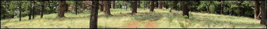
Hopping the fence was easy. Now in the forest, I marched uphill through the trees and downed logs. The forest was thick but not too bad, to where I could usually find open lanes if I looked for them. The grade was gentle and within 20 minutes I was on top the knoll... probably.
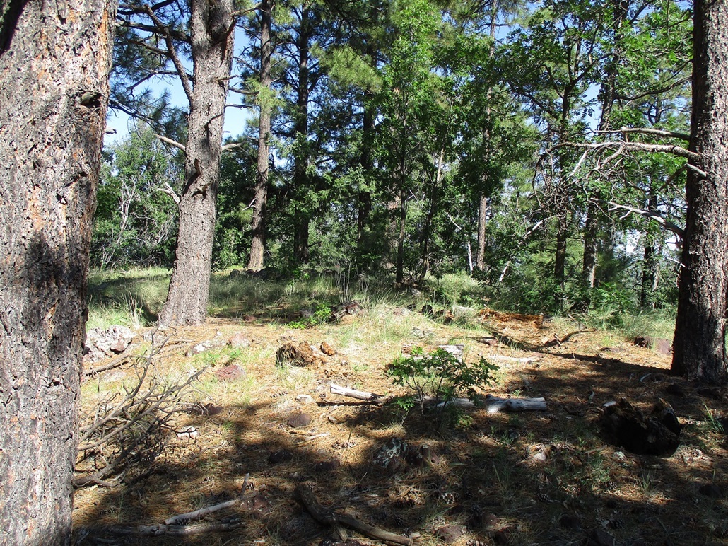
The top is forested with no views and flat enough to force me to walk its length to ensure I stepped on or tagged any possible highpoint rocks. I found two cairns, one with a register that I signed into. Since there were no views, I didn't stick around. I never stopped for a break, just turning around and back down to my car, a round-trip hike of about 40 minutes.
This was not a memorable peak, but I am glad I tagged it. I had stopped here on other trips but always found an excuse to skip it. Next up, Turkey Mountain.
Elevation: 7,831 feet
• Prominence: 391 feet
• Distance: 0.6 mile
• Time: 45 minutes
• Gain: 405 feet
• Conditions: Sunny and warm
PB
•
LoJ
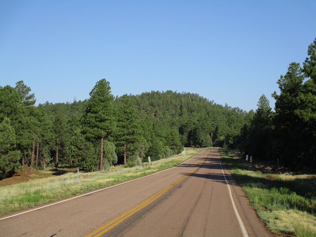
I followed some good forest roads a few miles until I was on FR-7, which passes to the north of Turkey Mountain. This peak lies east of Morgan Mountain, which I climbed in May. At the time, I was unaware that Turkey Mountain was so close by, otherwise I would have climbed it then as well.
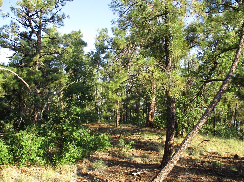
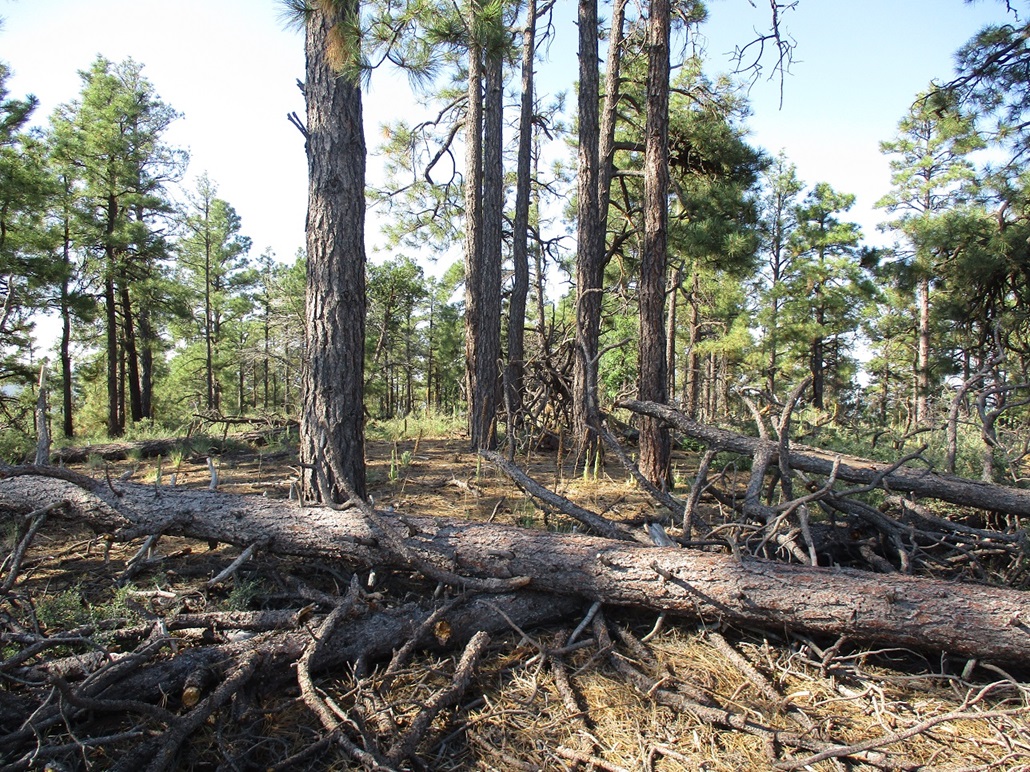
I drove FR-7 until it topped out, and parked in a clearing. It was now about 7:30 a.m., and warming, but still very pleasant. The peak rose to the south, and I was moving within minutes. The forest was thick at first, but soon lessened to where I had better long-distance views, for both looking up and looking down. I actually could see things, in other words.
The hike was short but very steep. The undergrowth was light and mostly just scattered grasses, but higher up, there were more downed logs than below. I walked around them or stepped over them, which slowed me. I found a good path — an animal path? — for the final hunded feet and followed it to the top.
The top held a small cairn and register. I had limited views and like before, did not really stop to rest. I signed into the log, snapped a couple images, and started back down.
With the more-open terrain, I could see my way better and keep to my bearing. I walked quickly down the slope, the kibble holding together well. I was back to my car in about 45 minutes after starting, another quick hike. While not the greatest peak ever, I had fun on this one.
Elevation: 8,120 feet
• Prominence: 320 feet
• Distance: 0.6 mile
• Time: 40 minutes
• Gain: 320 feet
• Conditions: Sunny and warm
PB
•
LoJ
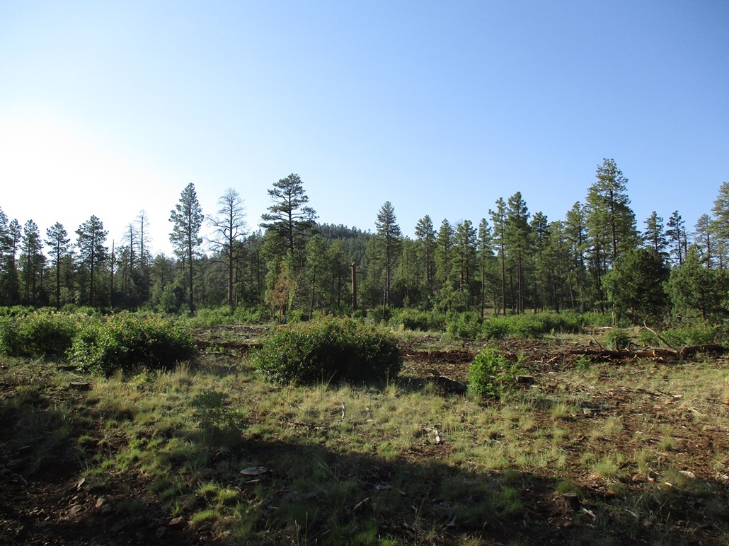
Brushy Mountain lies southeast of Turkey Mountain, on the border of the National Forest and the White Mountain Apache Nation. There happens to be another Brushy Mountain not five miles to its southeast too.
For FR-7, I went east to FR-283, heading south. At about where it connects with FR-271, I saw something in the road ahead of me. I couldn't make it out at first — I thought it was branches or something had fallen into the road. Then it raised its head and turned so I could see its profile. It was a black bear! He didn't rush things. I slowed to a crawl. He took a couple sauntering steps then jogged into the forest. I wanted to get an image of him but I couldn't get my camera out quick enough. I hadn't seen a bear in the wild in a very long time, not sure how long. While I definitely do not want to encounter a bear up close and in person, seeing one is always a thrill. And a reminder too, that they are out there and to not let my guard down. Seeing the bear would be the highlight for this quick morning peak run. Climbing Brushy Mountain would not be as exciting.
Forest Road 271 connects in a couple miles to the Vernon-McNary Road, now on the Indian Reservation. I turned northbound and followed it back onto the Forest property, parking in a pullout a few feet north of the boundary fence.
I hiked toward the fence and found a path that paralelled the fence virtually the entire way to the top. It was a short and steep hike, heavily forested with nothing to see, except trees. The fence makes a left-ward bend, while the highpoint is about another 50 feet ahead and 20 feet higher. It was forested with no views. There was no register either. I looked around for a few moments then turned around for the hike out, another 40-minute quickie. Not a memorable peak at all.
It was a little past 9 a.m. but warming into the 80s already. I was still open for more hiking but had few options: I'd either already hiked the nearby peaks, or they were on the Indian Reservation and off-limits. I got onto AZ-260 and headed east, gaining elevation to near the Sunrise Ski Area, then dropping elevation as I headed into Springerville.
I took a look at Peak 7993, but by now it was too warm for comfort, and I was concerned about snakes hidden in the grass, so I skipped it, and would return to it on my return trip.
I stopped in Springerville for groceries, then continued eastbound on US-60, entering New Mexico. The land here is low rolling hills and bluffs, with some volcanic mounds and mesas in the distance. Traffic was near zero by now. I passed through Quemado, then stopped for about a half hour in Pie Town. I was disappointed in that only one place was open and their pie selection was pretty limited. I mainly used this as an excuse to walk around a little bit.
I drove another hour or so east, into the Datil Mountains. The day was warm but starting to get cloudy and active. I found the forest road I wanted for tomorrow's big hike up Madre Mountain, found a spot to camp, and spent the rest of today relaxing, napping, and watching the rain fall and lightning strikes. I had covered 320 miles today.
|


|