
The Mountains of Arizona
www.surgent.net |
|
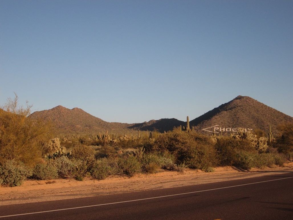
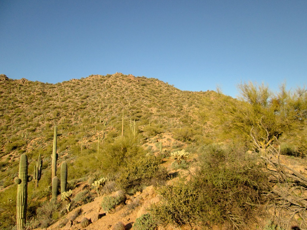
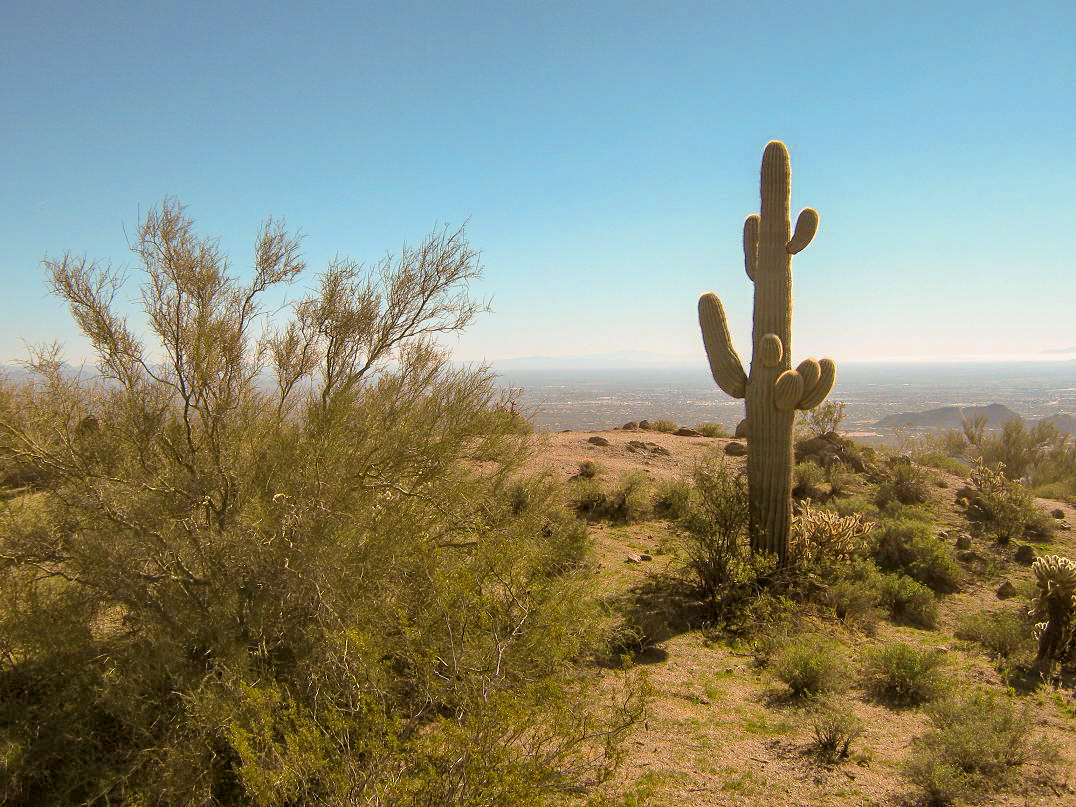
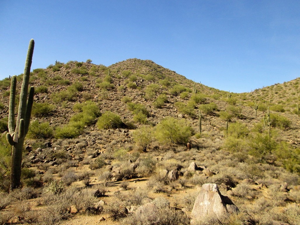
Usery Mountain • Mesa City Highpoint • Phoenix Arrow Peak The Usery Mountains (or Hills, as seems to be a better description) are a collection of stand-alone bumps located south of the Salt River in north Mesa, and west of Usery Pass Road. The mountains to the east of Usery Pass Road, such as Pass Mountain, are part of the Goldfield Mountains, despite the fact that those peaks are contained within the Usery Mountains Park. The highest point of the Usery Mountains has no name other than "Usery Mountain" or "Usery Benchmark". It is west of Peak 2933, which is famous for the big white letters spelling "PHOENIX" on its side, put in to tell aircraft pilots that Phoenix is still farther west. Evidently, this was an issue years ago. South of the highpoint is another peak which happens to be the highpoint of the city of Mesa.
Date: January 1, 2014
• Elevation: 2,786 feet
• Prominence: 336 feet
• Distance: 2 miles
• Time: 90 minutes
• Gain: 900 feet
• Conditions: Gorgeous
Arizona
•
Main
•
PB
•
City HPs of Maricopa County
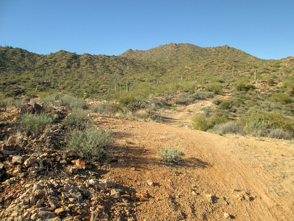
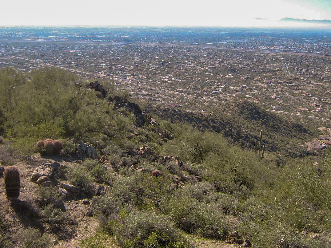
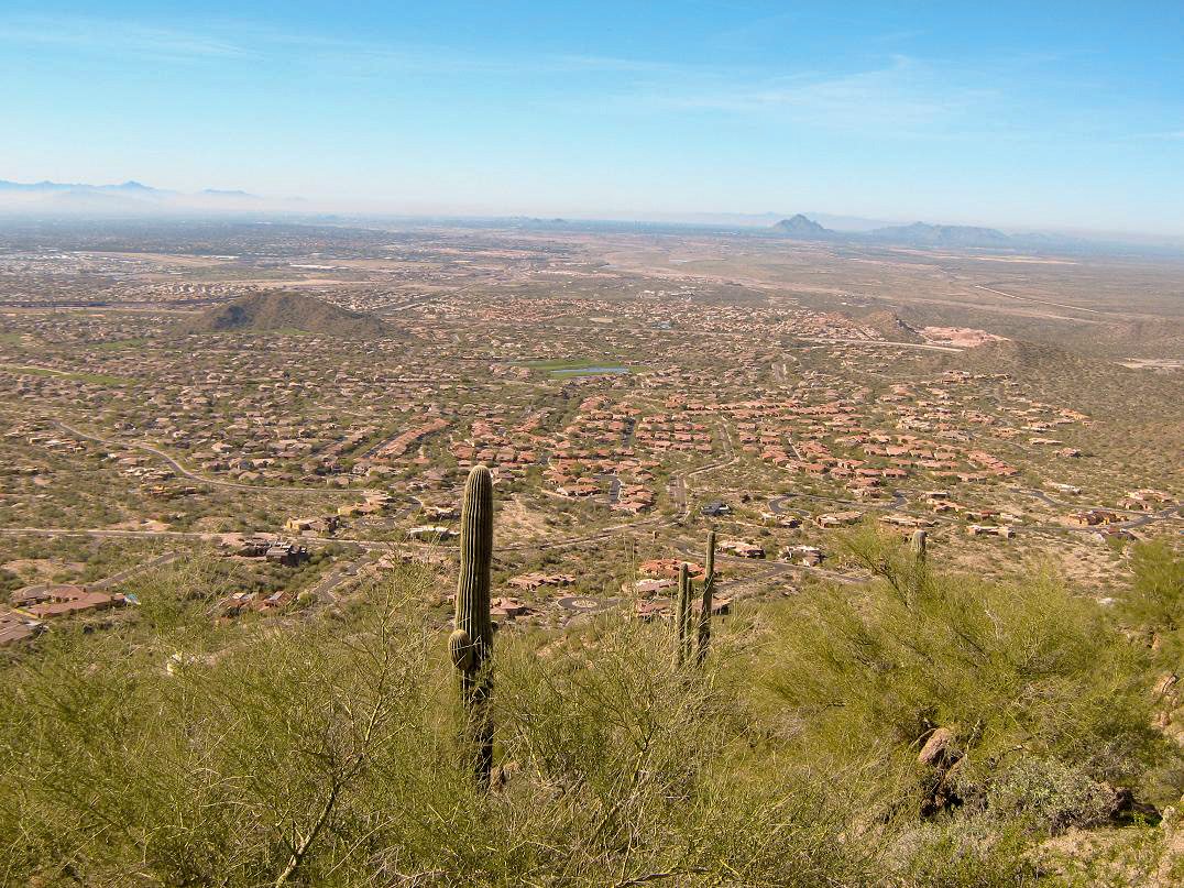
This unnamed hill is in east Mesa, part of the Usery Hills complex near Falcon Field. This hill is not the highest hill in the Userys, but it is the highest point in the city of Mesa. That was reason enough to explore and climb it.
I had put together the list of city highpoints of Maricopa County about a year ago, but it was John Mitchler, a friend from Colorado, who actually climbed it for its city-highpoint status, back last July. He told me of a trail, which I was not expecting. The climb looked easy: about a mile each way, about 800 feet of gain. Naturally, I'd wait until it was cooler to hike it.
The area around this hill has been developed in recent years. A newer high-end housing development has sprung up on its west and south. On the east is the Usery Mountains Regional Park, with its highpoint, Pass Mountain. There's also a shooting range and the famous "PHOENIX" with an arrow, written in huge white letters on the hillside, alerting wayward pilots that the airport is still that-a-way. I guess a few have tried to land here for some reason.
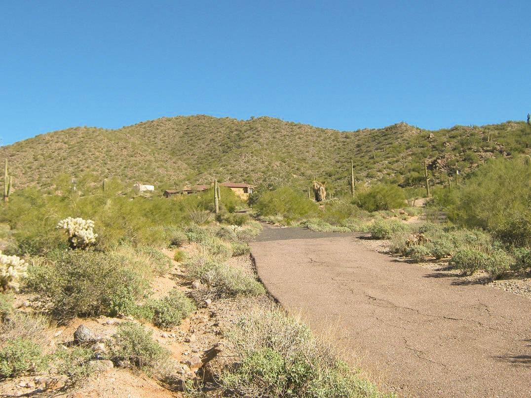
I drove here from Scottsdale, following the Loop 202 to Power Road and a series of residential roads to a roundabout on Hawes Road at Sugarloaf Road. Some people had parked up on its raised sections, so I did too. I guess it's legal to do so.
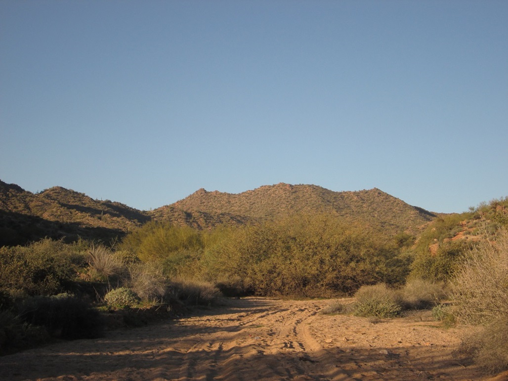
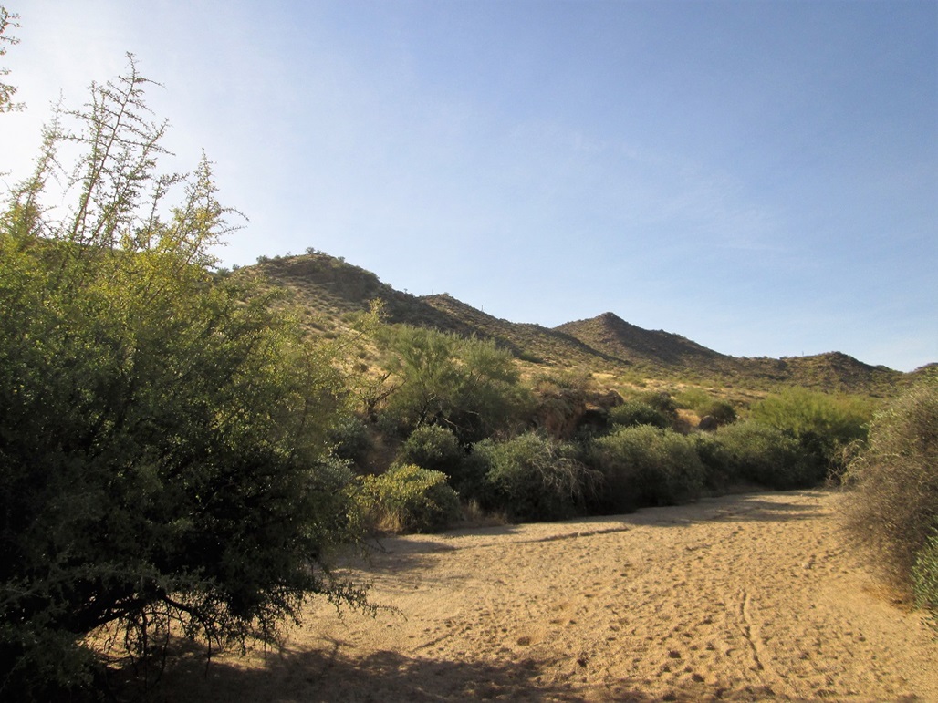
I walked south on Hawes Road to a small cul-de-sac called Scarlett Drive. There's one large home on it, seemingly uninhabited, and a gate across a road that leads to a water tank. I walked past the gate and then angled left of the water tank building, catching an obvious footpath here. At first, I trended too far left and started to aim back for Hawes Road, so I backtracked and found a fork I had missed, which went up. This is what I wanted.
The trail marches up the hillside, curling around Hill 2,231 and catching the main ridge just east of this hill. I just followed the track and the cairns all the way to the top, the one-way journey taking about 45 minutes, which included the initial erroneous path, plus some times where I stopped to figure out where the trail or the next cairn was.
The views up here were very nice. I took photos in all directions. The new years day was very pleasant, with bright blue skies. I stayed up here about 15 minutes. The hike down went quickly. In places the trail was loose rubble, and in one spot I got the worst of a thornbush, giving my shins about 6 new scratches to add to the collection. I was back to my truck for a round-trip of about 90 minutes. Driving out, I followed Hawes Road south to McDowell, then west to Power Road and the Loop-202 freeway, rather than try to repeat the residential roads I drove in on.
There were no signs anywhere restricting access to the hills, and the presence of footpaths suggested that people (probably locals) come here often. The trail to the top is rough, but is cairned nearly the whole way up. It's not a tended trail, and it probably is not that busy of a trail, but I could see how this trail could be spruced up and made into a regular hiking trail.
Date: January 24, 2016
• Elevation: 2,972 feet
• Prominence: 857 feet
• Distance: 3.2 miles
• Time: 1 hour, 50 minutes
• Gain: 950 feet
• Conditions: Clear
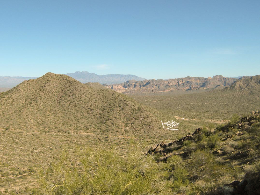
I drove by this peak in December, after climbing Stewart Mountain. I wanted to take a look at it for possible routes. I've been in the area many times before, usually visiting the Usery Mountains Park, or driving to and from the Salt River, and once during a night search for a missing child during my time with the Sheriff's Mountain Rescue team. We were given some information that searching the arroyos north of Usery Mountain might be wise. We found nothing, except for unbelievable amounts of garbage. People come here and dump anything and everything.
Anyway, I was here today, on a whim. The day looked to be nice and sunny and I wanted a short hike close to home. I found my way to northbound Ellsworth Road in east Mesa, then north toward the hills, where the road now becomes Usery Pass Road. I drove to its crest, then down briefly to a large pullout on the east side. This is a parking area, but is large enough for horse trailers. This area is very popular with horseback riders and mountain bikers, but not so much with hikers. I started my hike at 8:25 a.m.
I walked across the road, then through a stile in the fence, which put me on a sandy stream bed. The stream bed was wide and flat, with tire tracks, shoe prints and lots and lots of horse poo. Walking in the sand was a chore, but it went where I wanted to go, so I walked the streambed for nearly a mile. Higher up, it narrowed and became brushier, so I emerged from it onto a ridge. I was close to the peak and had gained about 400 feet, although it didn't feel like it.
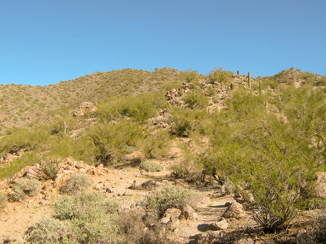
Now on a ridge, I angled southwest and aimed for the main saddle east of the summit, gaining another 150 feet. I could hear voices, and looking back, saw bicyclists coming up a track. I was unaware of any track. Had I known of it, I would have followed that, and not the streambed. But I was close to the peak, so I got to the task of putting one foot in front of the other.
Looking up, the slope was steep and minorly brushy, but nothing I haven't dealt with before. It looked like 300 feet of hard work, but then I'd be on top. So I started up the slope. At first, it was easy going. Soon, it steepened. The slope was loose. The soil was a coarse-grain sand, and stepping on it, I would slide back a foot. Big rocks would come right out if I put weight on them. I had to keep a very low center of gravity and a wide gait, often using all fours. I got up it all, but it was ugly. I decided I would explore the track on the way down. Anything other than what I had just come up.
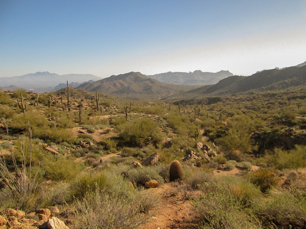
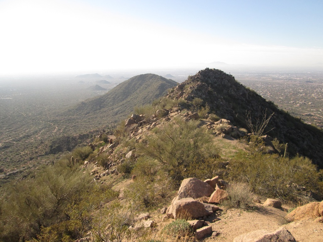
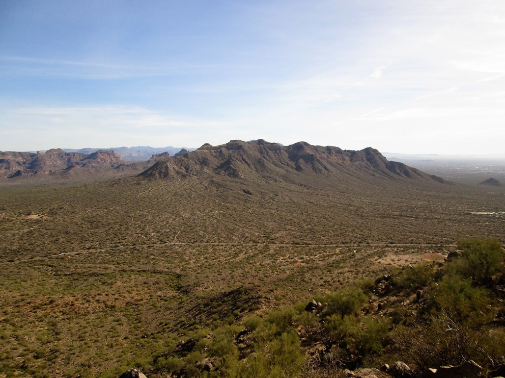
I emerged onto the ridge immediately north of the summit rocks. Looking south, there was a lower subpeak with a flag on it. I snapped images in all directions, but there was significant ground haze (light fog) and with the sun still low in the east, any views east or southeast were mushed out by the glare. Some of my photos show this. Above me, the sky was bright blue, and the temperature was very pleasant. It had taken me one hour to get here, a 1.6-mile one-way hike with about 950 feet of gain.
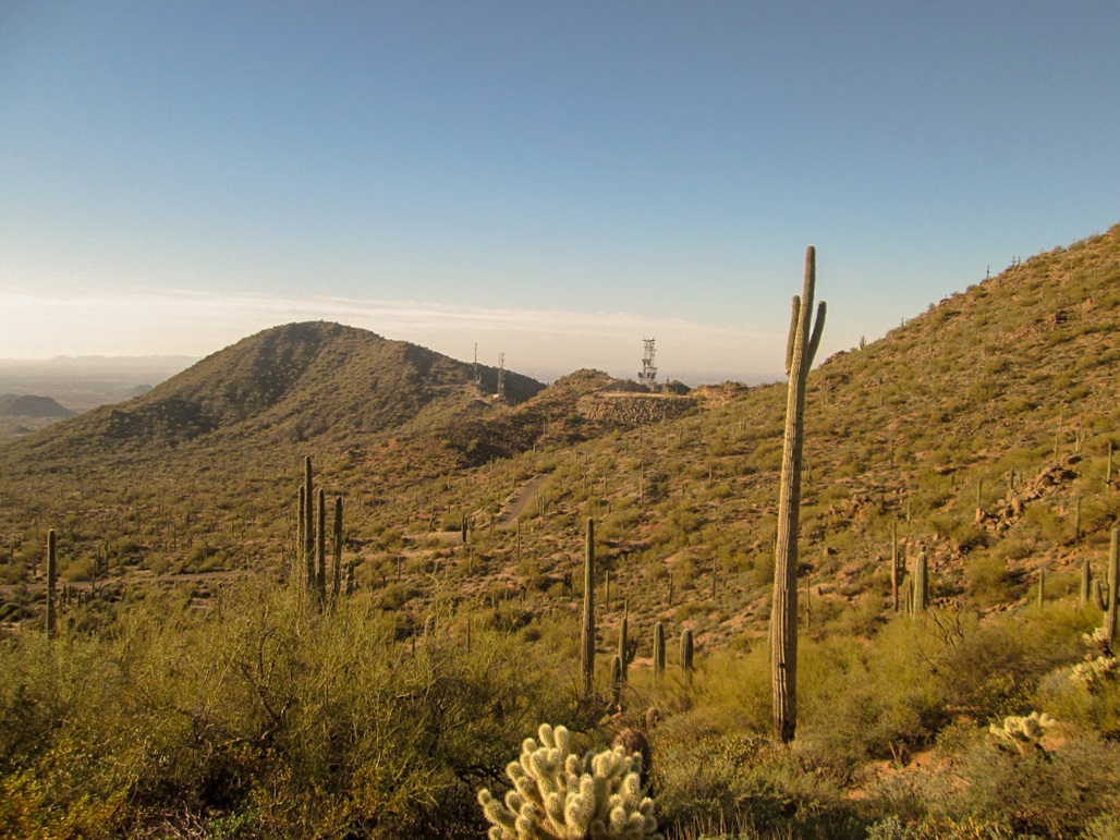
I stayed up top about 10 minutes, resting and looking at the surrounding views. The summit is a rock about 5 feet tall, offset from the main ridge. I reached up and tagged it. I also hiked north on the ridge a little, but did not bother to hike south to the flag.
Going down, I hiked to a lowpoint in the ridge and found cairns, which led to a very rough and eroded footpath. It was slippery and loose, but nearly as bad as what I dealt with going up. I carefully walked down this path, losing about 300 feet and putting me on top of a mound of mine tailings. Here, I could see a path and many bicycle tracks. I simply followed the tracks downward. Eventually, these led down back to the sandy streambed, so I followed that out to my truck, the exit hike taking me 45 minutes. I met a bicyclist on the way down, and the lot was getting filled fast.
So, now wiser to the route, I would suggest to hike in the streambed about a quarter mile, then start looking for routes out of the streambed on your right as you face west. There are some lowpoints where the ridge drops to almost streambed level. You should catch the track soon, and then follow it all the way up.
This wasn't a bad hike. I got a workout and a peak to add to my list. I can see why few hikers come here, and why it's almost all bicyclists and horseback riders. For hiking, there are better options nearby.
Date: January 1, 2018
• Elevation: 2,933 feet
• Prominence: 313 feet
• Distance: 3 miles
• Time: 2 hours
• Gain: 920 feet
• Conditions: Sunny and warm
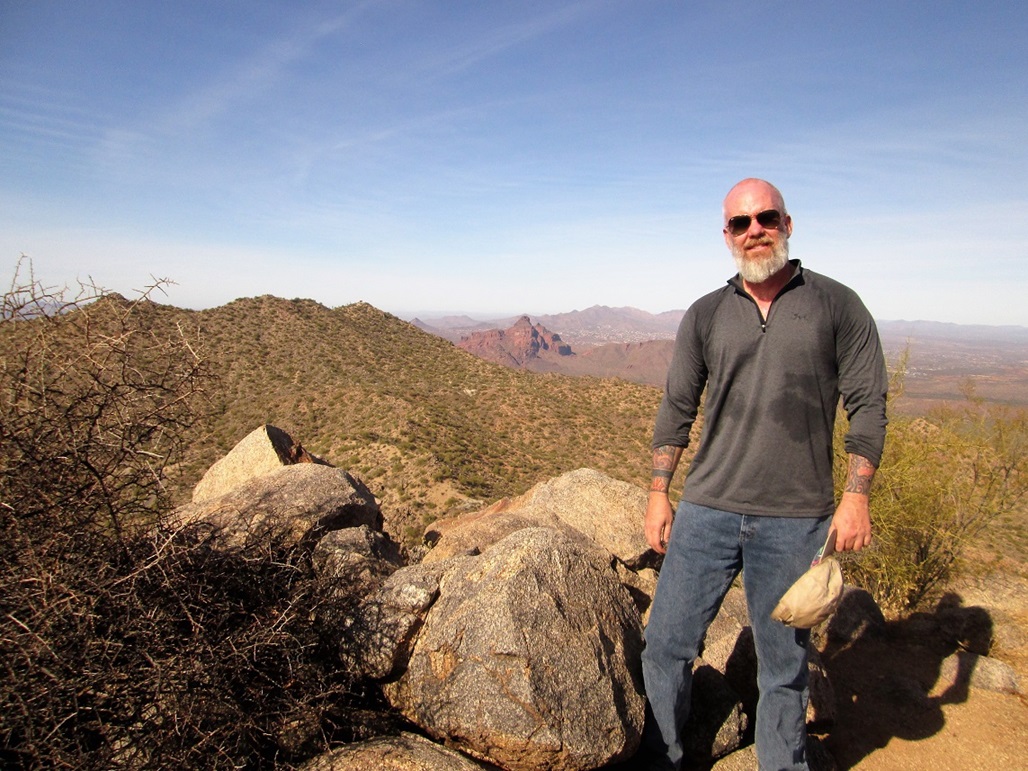
• Teammates: Daniel Fleischmann
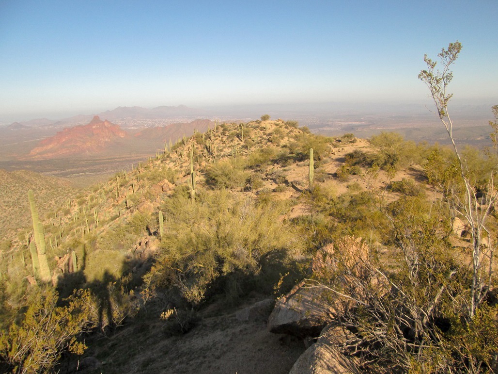
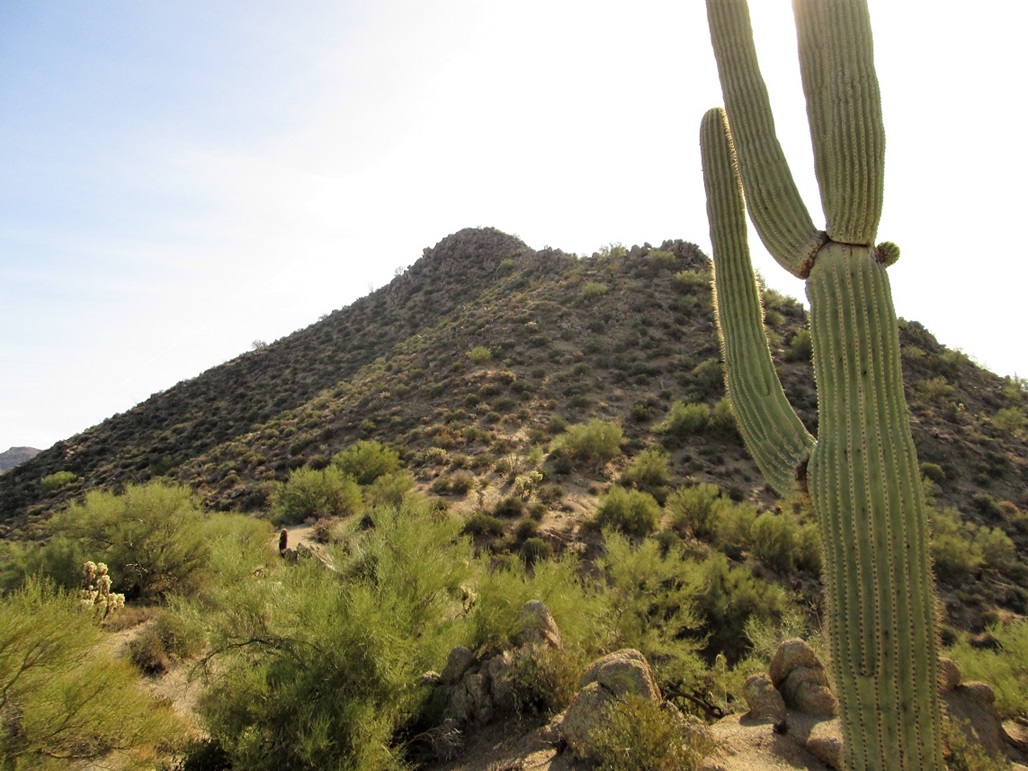
This is the famous "Phoenix Arrow" peak in the Usery Mountains, where Mesa and the Tonto National Forest boundary meet one another. Dan Fleischmann called me up to see if I wanted to hike a peak on New Year's, and I said sure. We've both hiked the other main peaks in this bumpy range independently, but had not yet hiked this particular peak.
We met in the late morning at the parking area on Ellsworth Road, east of the peak, and started hiking west up the sandy drainage that emanates from the Usery Mountains. We walked about a half mile, placing us a little northwest of the top.
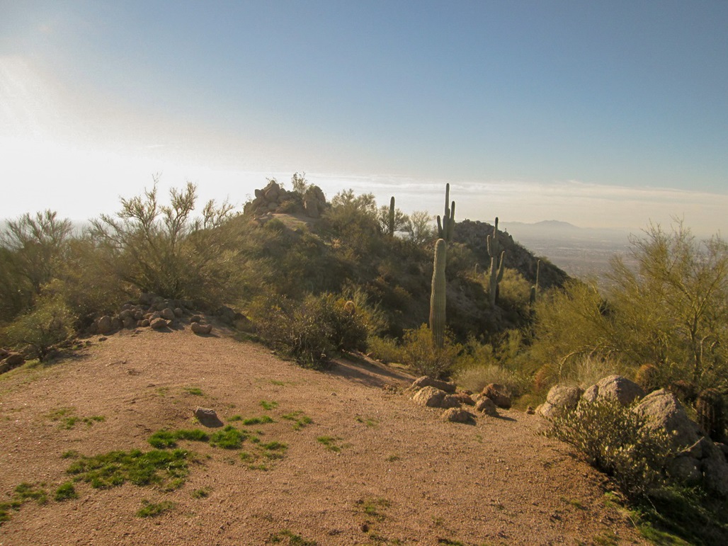
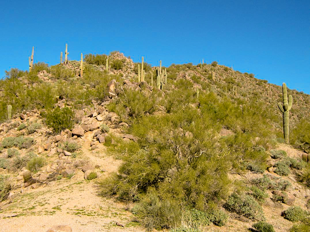
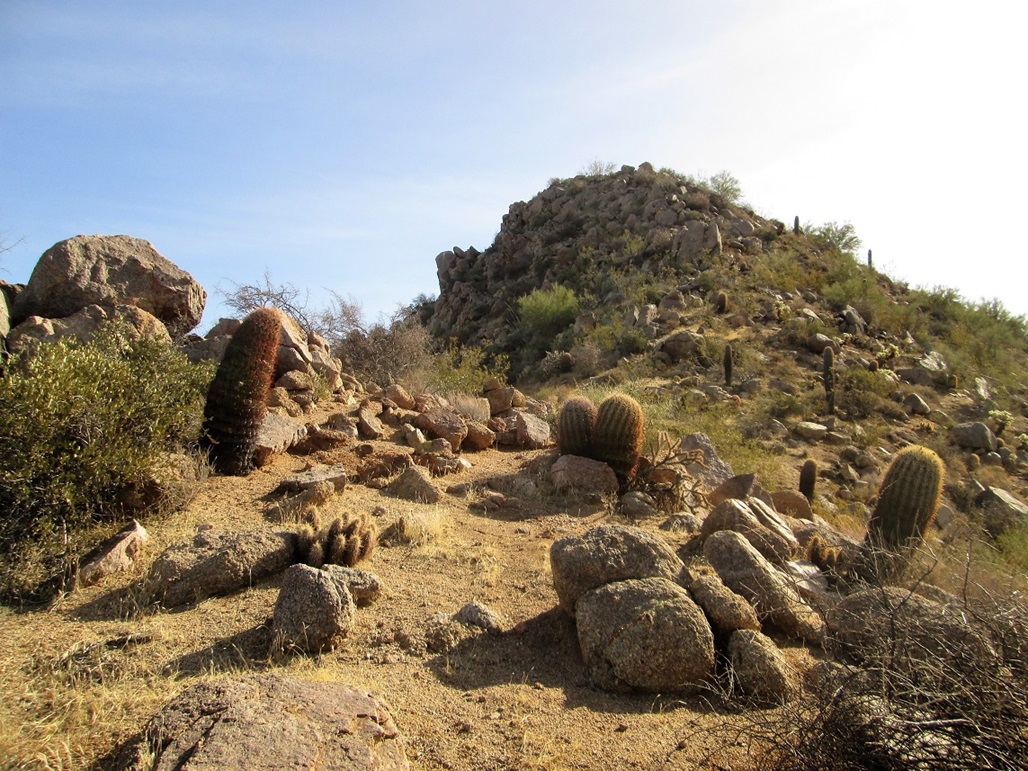
We then left the wash and started up the slopes, following ridges as we came to them. In about twenty minutes, we had emerged onto the main range crest, slightly west of the summit. We inched across the top, through easy rock outcrops, to the final saddle, about one hundred feet below.
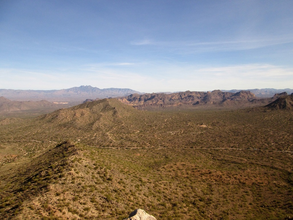
The hike to the top was steep but simple. Only in the last fifty feet did we need to use hands to hoist ourselves over the big rocks. We were on top in about an hour after starting. Not too shabby. With the clear weather, we had good views in all directions. When we signed into the log, some guy had already been up here! Just 12 hours into 2018, and someone had beaten us up here.
We were both interested in following a different ridge down, and the most logical would have been the main crest that trends northeast. However, from the top looking down, the climbing would have been a little too uncertain to chance directly. Instead, we wandered a little to the south and followed another ridge, this one a little south of due east.
This ridge was rocky with sections of large-grained "grus" gravel that occasionally caused slippery footing. However, it was pitched nicely and we made good time down this ridge. We walked out to the road and from there, back to our cars, a two-hour round trip hike. It was good to start off the new year with a peak, and thanks to Dan for suggesting it.
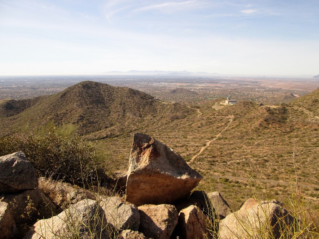
The peak is known for the large block letters "<PHOENIX" that lie on the mountain's lower southern slopes. The letters are 100 feet tall and the whole thing about 1,000 feet in length. They are made of white-painted rocks, not of concrete.
It was put in over a five year period by Boy Scouts in the 1950s, intended to direct wayward aircraft to the main airport in Phoenix, 30 miles to the west. Back then, this part of Mesa was undeveloped open desert. There is an airfield in the area, and perhaps a few pilots thought it was Phoenix and landed there.
The letters are symmetric, so laying down all those rocks must have been a very exacting task. Just moving them all in place would have been arduous work. Later scout troops maintain the letters with new coats of paint.
I have no idea how big a problem wayward airplanes was back in the 1950s, and even back then, they would have had radios, or at least sensed that there are too few buildings down below, it must not be Phoenix yet. Also, why spell out the whole city's name? The abbreviation "PHX" or "PHO" would have done the trick for half the effort. These days, it's one Arizona's oddball attractions.
|


|