The Mountains of Arizona
www.surgent.net |
|
Wounded Ranger Knoll • Hill One • Red Knoll Matthias proposed a set of peaks south of Williams, five in all. I was amenable to any plan as I had not climbed any of the peaks he proposed, as he and I are essentially "filling in" those peaks we both lack, somewhat independently of one another. Scott Peavy would join us. We met at the Denny's on Carefree Highway at 6 a.m.. The morning's excitement was a rogue hot-air balloon that couldn't seem to get aloft. It drifted over the interstate just a few dozen feet above it. When I rolled in to the Denny's, they mentioned it came really close to clipping some of the buildings in the shopping center. Hot-air balloons are a big thing up here, the tourists love them, and the balloon outfits use this area as their base of operations. It's not uncommon to see a couple dozen balloons in the air all at once. We got rolling soon thereafter, Matthias driving us. We followed interstate-17 into Flagstaff, then Interstate-40 to Williams, then through Williams on Perkinsville Road (County Road 73) to get to the first peak of the day, Wounded Ranger Knoll.
Date: May 13, 2023
• Elevation: 7,715 feet
• Prominence: 535 feet
• Distance: 4.8 miles
• Time: 2 hours
• Gain: 635 feet
• Conditions: Clouds, rain, hail, lightning, thunder
• Teammates: Matthias Stender, Scott Peavy
Arizona
•
Main
•
PB
•
LoJ
•
Interactive map
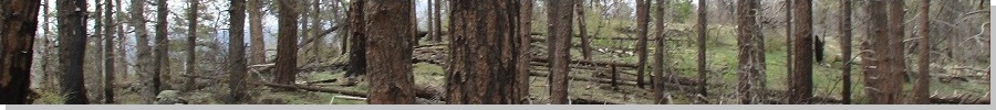
Wounded Ranger Knoll is one of three peaks, High School Hill and Reneke Knoll being the others, that form a line immediately south of the main part of the city (the three peaks are within the Williams city limits).
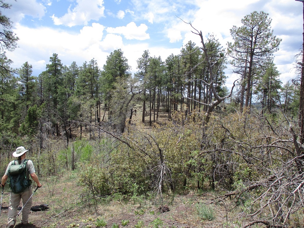
We were looking for a dirt road on the east side of CR-73, which we found. A creek was running over it, about 20 feet wide and a little too deep and potentially muddy, even for Matthias' hefty vehicle. Since we were close (about a mile and a half on a straight line) to the peak anyway, we were okay to begin the hike from here. We got suited up and packed and started walking roughly 9 a.m..
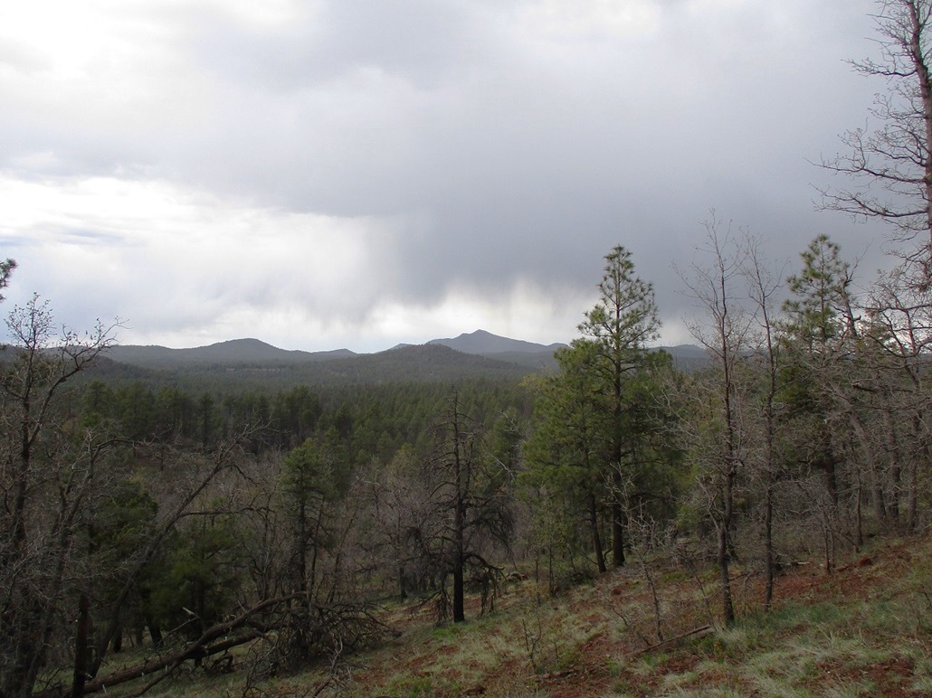
The day was sunny for now, but clouds were building, just some spotty puffy clouds. We followed a road east, then northish, into open forest and meadow. We could not see Wounded Ranger Knoll at all. We followed tracks and sometimes went cross country, then up one last track to a saddle just east of the peak.
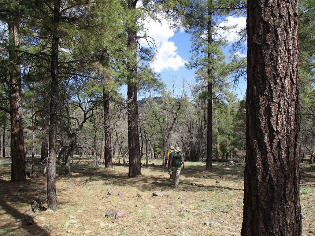
We started up the slopes. It was rocky and sometimes brushy, but with lanes almost always available. There was very little actual "pushing through" any brush. The rocks were abundant, forming into small tiers and jumbled heaps. This looked like welded tuff, where the rocks are big and lumpy and in various shapes. Footing was good and hands were just used in spots.
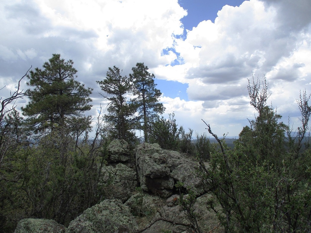
The trees and brush opened up a little more near the top. The route we followed lead onto a ledge toward the summit rocks. Here, we had to use the hands to scramble up the final twenty feet. The rocks were solid and the footing secure. The top is a fin of rock, impossible to stand upon. So we tagged its tippy top, then sat down to sign into the register and have a snack.
About this time, the clouds had been building above us, some with dark gray bottoms. This was a surprise because this is not storm season as the air is usually too dry for that in May. As we sat, rain started to fall, first gently, then heavier. Within minutes, it was falling hard, mixed with slushy graupel-hail pellets. There as a steady rumble of thunder and occasionally a flash. The three of us figured it best to get down off the peak pronto.
The descent went well but it was raining hard and we were moving fast, but being sure not to slip on the slick rocks. The rain/graupel fell for about twenty minutes and the weather stayed strong until we were back into the forest flats. The ground was very muddy now and the hail had collected into little pockets on the ground. I had on a long-sleeve wicking t-shirt that was soaked, but didn't cling to me. It's a beater shirt I got for $9 at a Beall's outlet and it's actually a pretty decent shirt.
We got back to Matthias' vehicle and peeled off the wet and sticky stuff. I had another shirt I could wear. Our boots were muddy. The hike itself ran 4.8 miles (which surprised me) in two hours. The peak was a fun one with its rocky slopes, but the rain and lightning was completely unexpected and made us old guys move faster than we probably should. But the good news is, we got a peak.
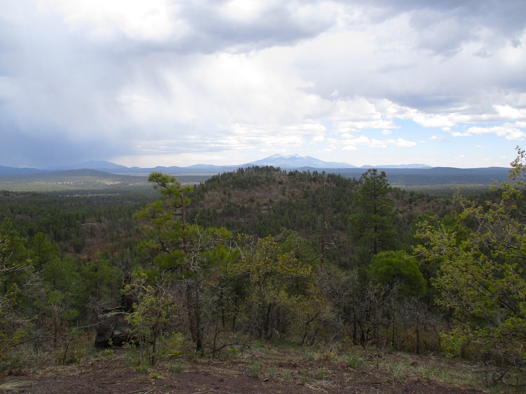
The name of the peak is interesting but I do not know the backstory, although it suggests a ranger once got wounded up here. Seeing that the clouds seemed to be heaviest at and near Bill Williams Mountain, we left for our next two peaks of the day, located about ten miles south from here. Maybe the clouds and rain would be localized here and sunnier down there.
Elevation: 7,178 feet (per Lidar)
• Prominence: 334 feet
• Distance: 0.8 mile
• Time: 45 minutes
• Gain: 315 feet
• Conditions: Sunny and warm, then cloudier
PB
•
LoJ
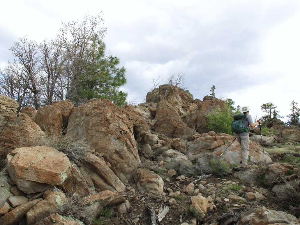
We drove south on Perkinsville Road to the turn-off toward White Horse Lake, which is developed for recreation and has a good road to it. The two peaks we wanted, Hill One and Red Knoll, rise side-by-side alongside the road. It was roughly six miles of driving on the maintained forest road once we had left Perkinsville Road. Matthias parked in a pull-out alongside a road between the two hills, Hill One to the west, Red knoll to the east.
It was ... sunny and warm down here. There was no evidence any rain had fallen at all down here, no new puddles of mud or things like that. The forest roads were dusty as always. I hung my soaked shirt on a tree to dry and wore my back-up. Hill One, our next peak, was across the road, very close by.
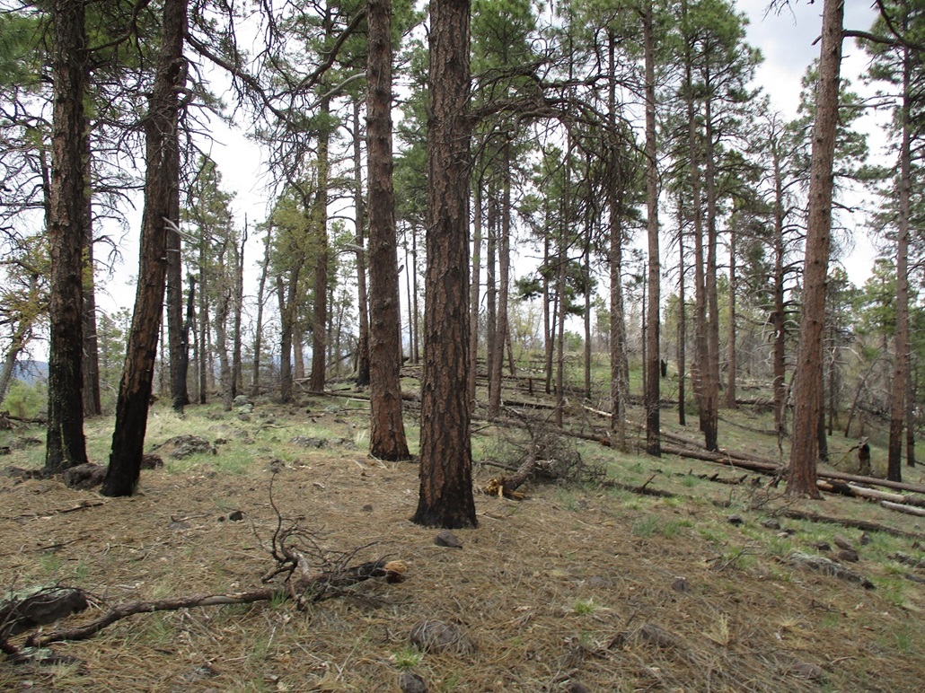
The bike went fast, just 20 minutes at most. We gained up a slope through open forest, some downfall, and patches of thorn brush. There are two summit on the short ridge. We skirted below the eastern one as the western one looked higher. We walked over to it and clambered onto some rocks, and took a proper break. We could not locate a register.
In the twenty minutes since we left, the clouds had followed us. Now it was grayer and gloomier. There was no rain on us, but we could see the virga falling from other clouds surrounding away. We spent about 15 minutes up top, then started down. On the way out, we tagged the eastern summit. The latest 1-meter Lidar dataset (USGS one meter x40y389 AZ VerdeKaibab B1 2018) shows a spot elevation of 7,178 feet on the east summit, and 7,177 feet on the west summit. The prominence is 334 feet, per Lidar
The round trip covered about 0.8 mile and took about 45 minutes.
Elevation: 7,145 feet (per Lidar)
• Prominence: 309 feet (per Lidar)
• Distance: 0.9 mile
• Time: 45 minutes
• Gain: 290 feet
• Conditions: Gray, cloudy
PB
•
LoJ
Now we started up Red Knoll. The hike up was much like that on Hill One, just a steady incline through trees, grass and some thorn brush. We were on top the summit ridge after about 15 minutes.
A large rock at the west tip of the ridge agrees with where the map-makers put the spot elevation, but some land a little to the east looked higher, so we walked to it. It all looked about the same but we agreed it was probably a shade higher in the middle of the summit ridge, not back at the first rocks. We didn't tay long here either.
We hiked out the same way. The clouds stayed gray, and this forced us to make a decision. The other two peaks Matthias had planned were back toward Bill Williams Mountain, but given the conditions, we chopped those off the agenda, then bandied ideas about what else we could do.
I suggested Copper Mountain down by Prescott. I had tried it back in April but got stopped by a flowing creek too deep for the Subaru. The guys were open to the idea, so that's where we headed next.
This peak is a borderline ranked peak, but Lidar suggests a summit elevation of 7,144 feet and a prominence of 308 feet. It's based on better 1-meter data (USGS one meter x40y389 AZ VerdeKaibab B1 2018) so these figures are strong.
We were kind of bummed about the way the weather behaved. But we were able to get three of the five peaks Matthias had proposed, so either our timing was bad, or it was good. The clouds seemed to follow us for the day. Would they follow us to Prescott?
|


|