November 4, 2026
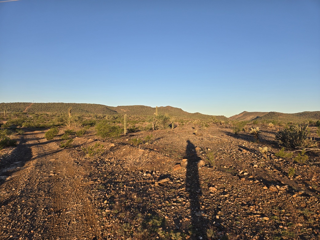
The peak is first seen about halfway, this was taken close to dawn
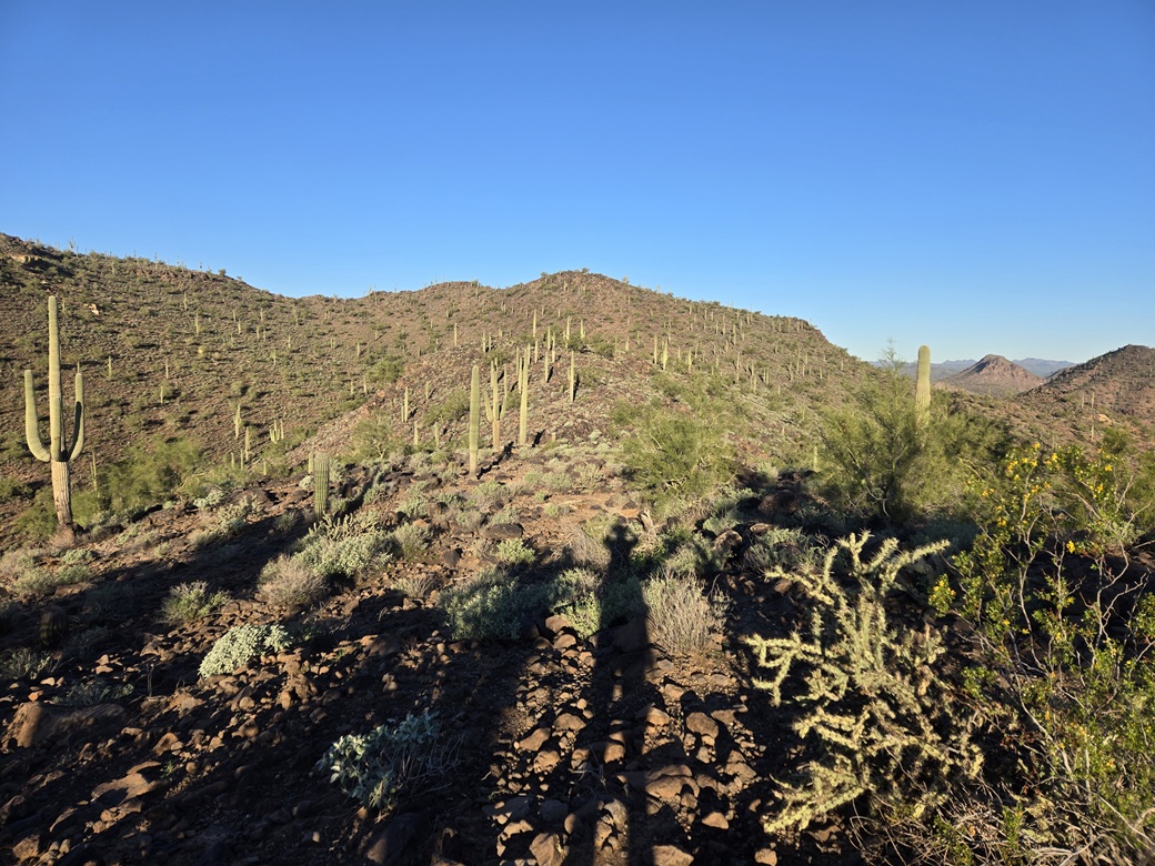
On the lower ridge, the peak gets closer
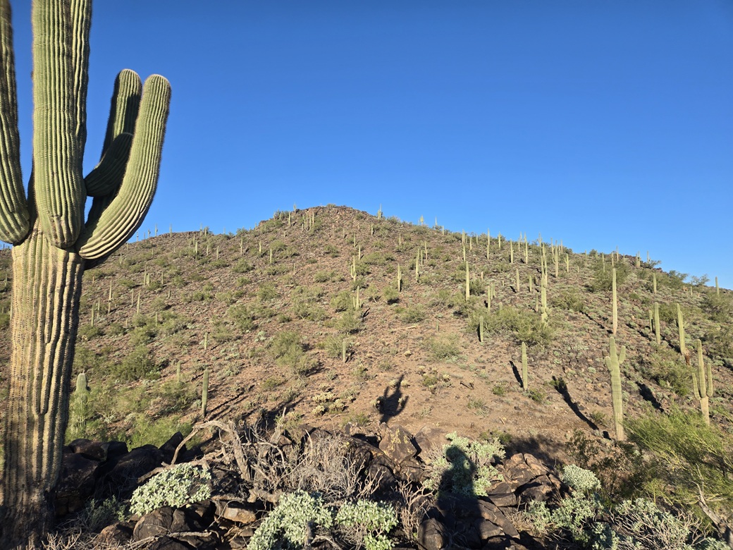
The final slope to the top. The shadow of that saguaro at left is on the hillside roughly centered
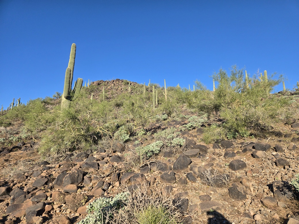
On the final slope to the top
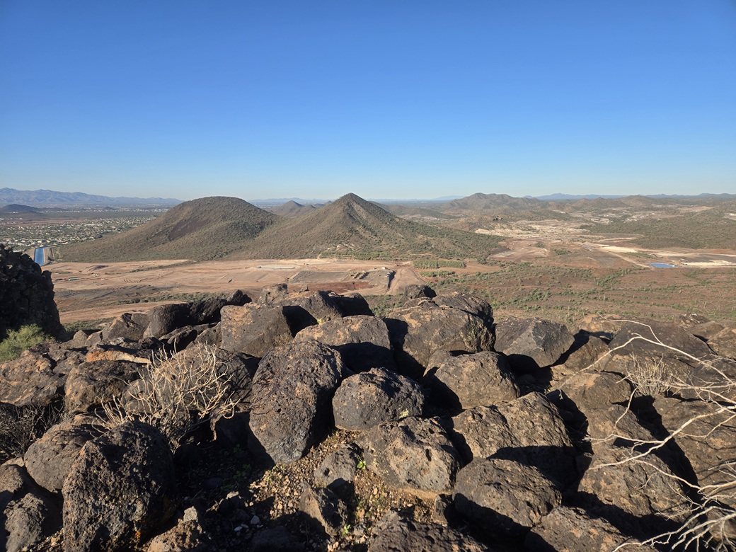
Summit looking west, Twin Buttes
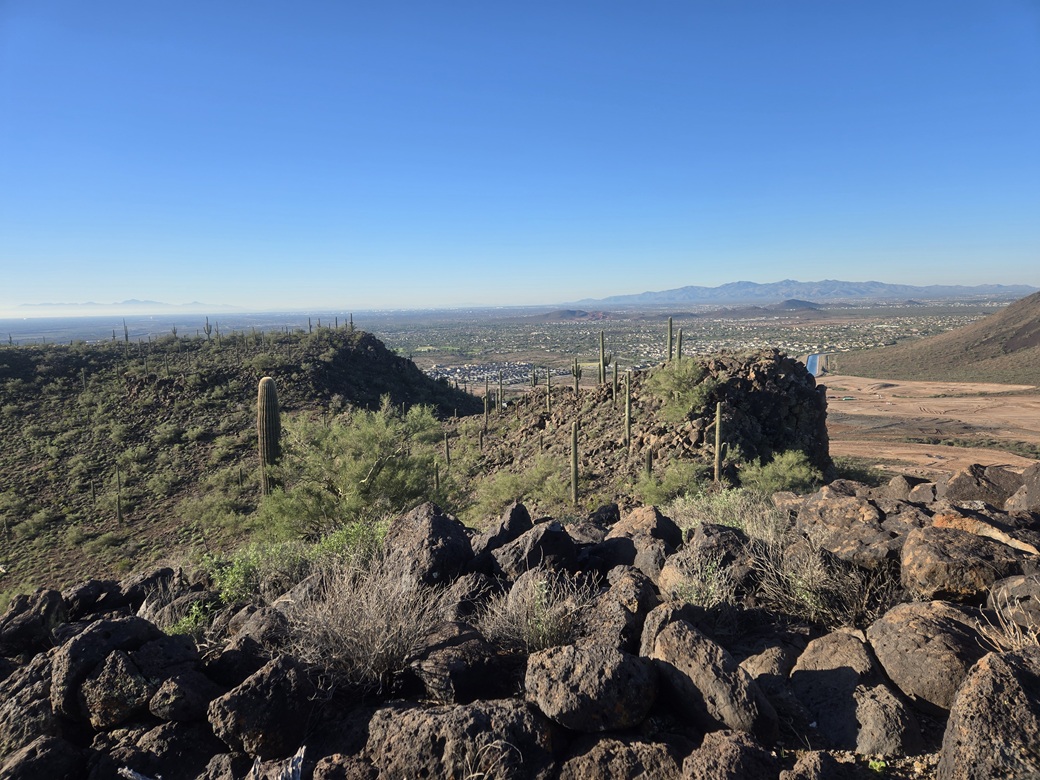
Southwest, Vistancia homes
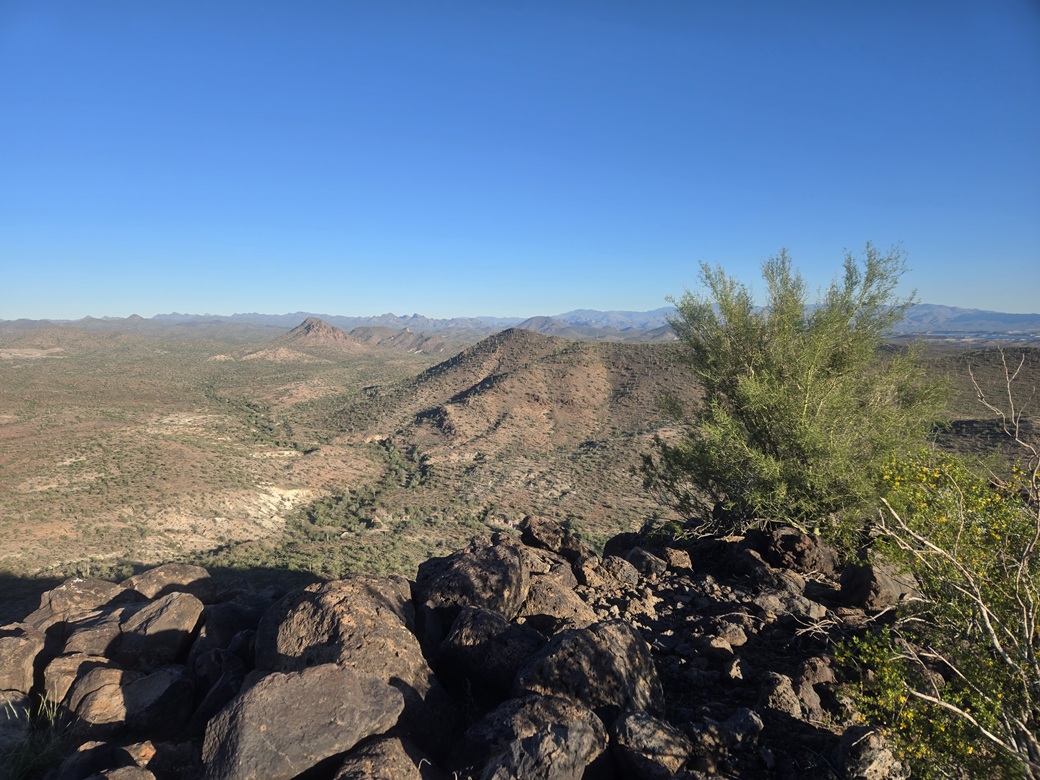
North: Peak 2143, Saddleback, and peaks by Hell Canyon Wilderness
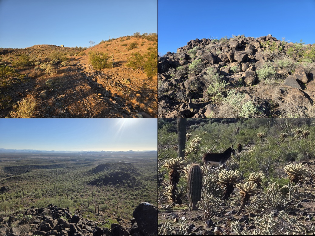
A structure on the ridge, final few rocky feet, looking down at my ascent ridge, a donkey
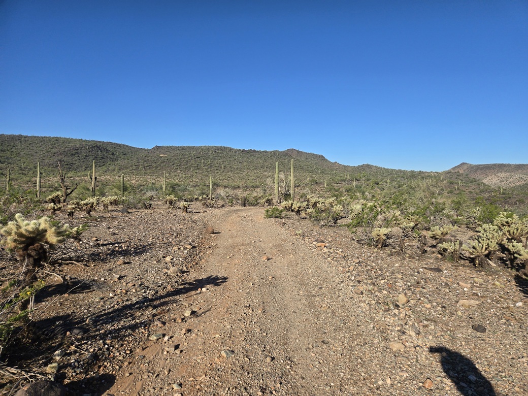
Summit as seen as I exit
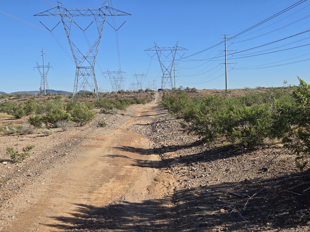
My car underneath the power lines and stanchions
Arizona Page • Main Page • Trip Report
(c) 2026 Scott Surgent. For entertainment purposes only. This report is not meant to replace maps, compass, gps and other common sense hiking/navigation items. Neither I nor the webhost can be held responsible for unfortunate situations that may arise based on these trip reports. Conditions (physical and legal) change over time! Some of these hikes are major mountaineering or backpacking endeavors that require skill, proper gear, proper fitness and general experience.