
The Mountains of Arizona
• www.surgent.net
|
| Peak 2127 |
• Agua Fria River Bluffs • Hieroglyphic Mountains • Maricopa County |
|
Date: November 4, 2026
• Elevation: 2,127 feet ✳
• Prominence: 524 feet
• Distance: 8.3 miles
• Time: 2 hours, 50 minutes
• Gain: 675 feet
• Conditions: Sunny, clear and pleasant
• Wildlife: Donkeys
Arizona
•
Main
•
PB
•
LoJ
•
Interactive map
I returned to the same area a week after climbing Peak 2143, this time to tackle its twin, Peak 2127. These two peaks are the highest of a line of peaks fronting the Agua Fria River to its west. Last week's climb of Peak 2143 got me thinking about Peak 2127, although I would be approaching it from a different direction.
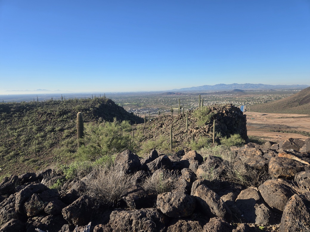
This area is undeveloped, with the scantest of roads down below and no trails anywhere. The peaks are volcanic, with long gentle east-facing slopes down to the Agua Fria, and steeper slopes — and a few cliffs — facing west. The ever-growing housing development of Vistancia is getting close, though. On my visit, land to the west has been graded. In a few years, these will be homes.
I planned to approach Peak 2127 from the east, the Agua Fria side. The maps and satellite images were minorly promising. Some tracks get within a mile of the summit, but I had no idea the quality of these tracks. This could be a four-mile hike, or a nine-mile hike.
I was up early, timing my departure so that I arrived here as the sun was rising. I took highway AZ-74 west from Interstate-17 to the Lake Pleasant Road, then south a little bit where I pulled into a Shell station to get some snacks and to let the sun rise a little more.
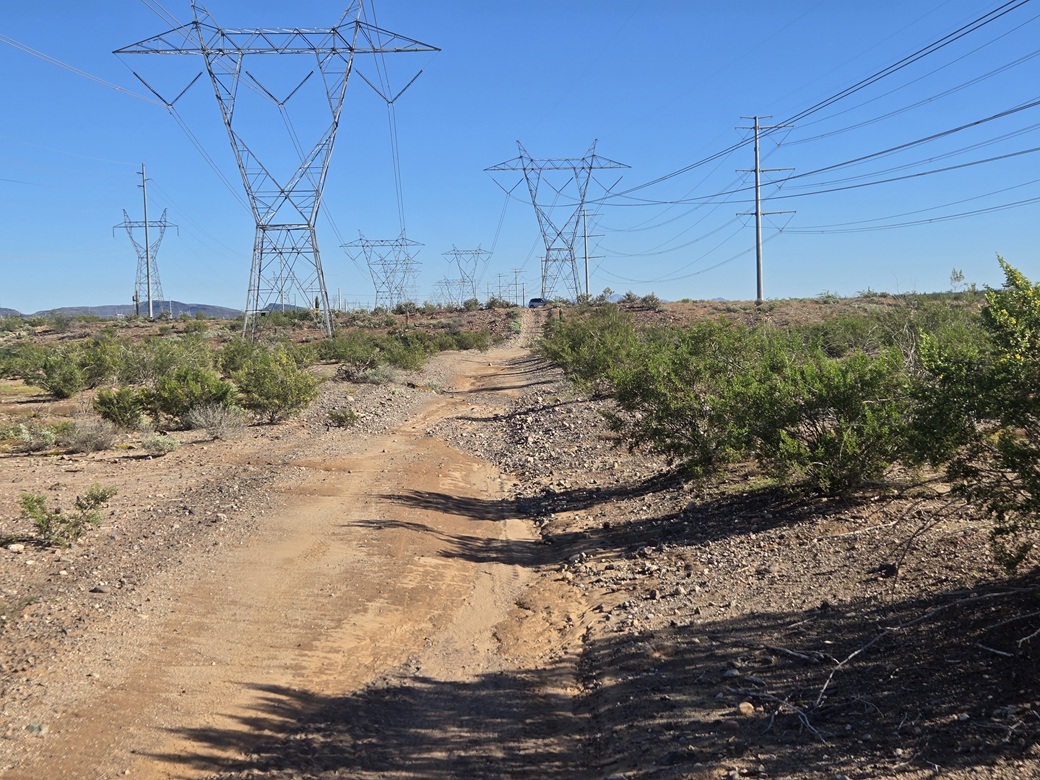
Back on Lake Pleasant, I didn't go far south, maybe an eighth of a mile, turning right onto the old Carefree Highway alignment. A giant puddle took up half the road, remnants from the past weekend's big storms. I went in a couple miles to where the pavement ends. I stayed straight, now on rougher dirt and rock road, locating myself underneath some power lines.
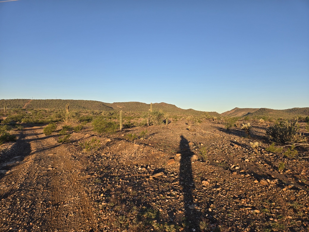
The map and images show some tracks that run underneath the powerlines, aiming southwest, the direction I wanted to go. It was still just dawn, the light not very strong yet. I had trouble making out the tracks and openings in the fence. I had to stop and actually get out to look. I found what I wanted and drove in not very far, just a quarter mile. In that brief space, I plowed through three or four puddles and mudpits. I parked on a slightly-elevated bulge of land.
It was still very early, about 6:30 a.m.. It was cool and moist, although the sky was clear and there were very few clouds. I suited up and started walking, following the track southwest.
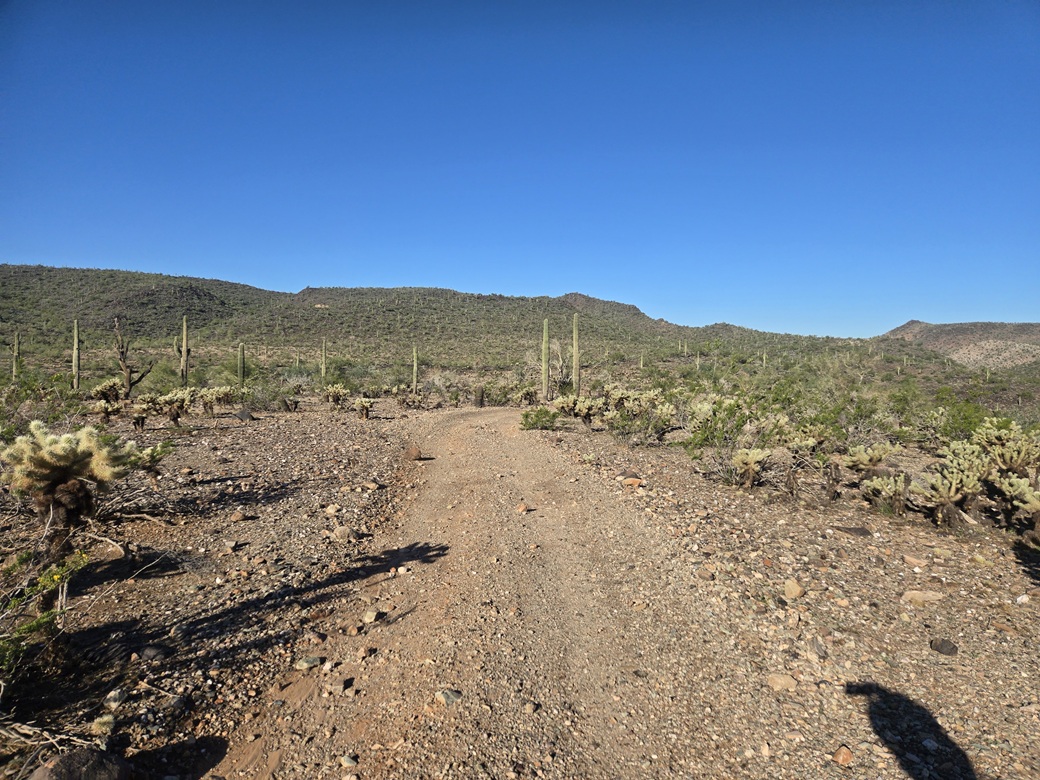
The track was not in good condition and would require a stronger 4-wheel drive vehicle or an ATV. It dropped a couple dozen feet over a half mile as I approached the actual Agua Fria riverbed.
In the river bed, there was no flow, but there were big puddles and long sections of very moist mud, some of it so soft it was nearly quicksand. I followed tracks south, skirting the base of the bluffs to the west. I had to get past one big bluff. The next one south has a structure atop it, and I knew that's where I needed to head.
It was a mess down low, tracks intermingling with river channels, where I had to make some educated guesses in a couple places. But I could see where I needed to be, so this was easy and it went well. I got onto a track that went up a bluff, this connecting to a very good road that comes in from the south. I could have driven this road, but I suspect it's gated and only for the workers who need to be here. The Central Arizona Project (CAP) Canal runs south below the bluffs.
This very good road gained up onto the bluff and skirted past the structure. I could see the peak now, about a mile and a half in the distance. The roads were in great shape and I made good time walking them. I got in most of another mile until the roads finally petered out.
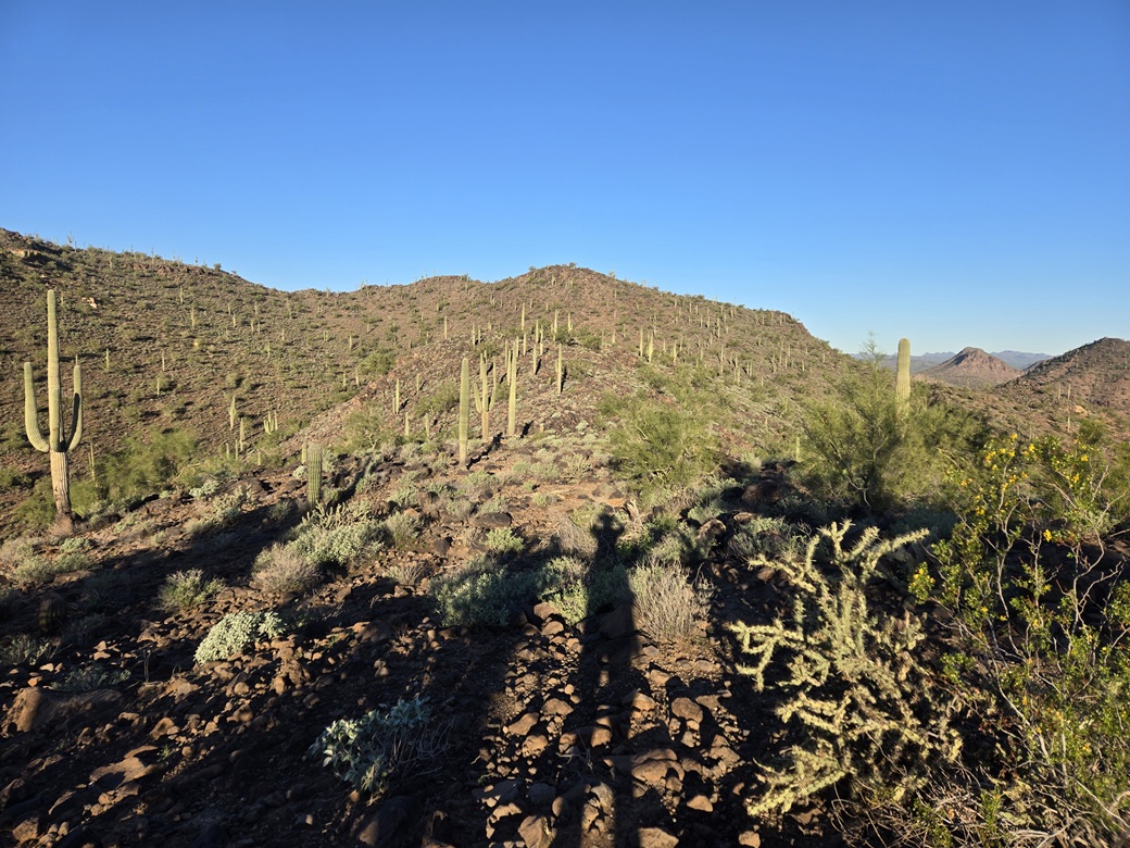
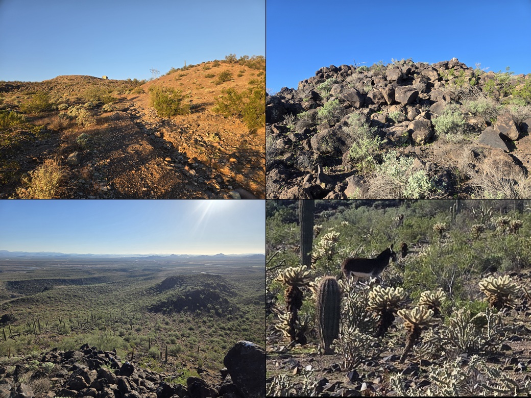
Past the road I followed game paths, most likely donkey paths, that went farther in. These were helpful but they braided a lot and went in many different directions. The ground was covered in those black volcanic boulders. The grade was lenient at first, then steeper as it gained a slope to a ridge up ahead.
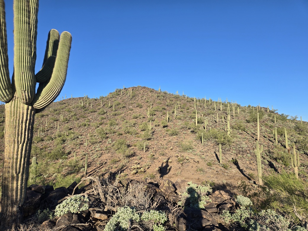
I trudged up this slope to the ridge, where I could again see the summit, now much closer. This ridge was very rocky, piling up in places. I had to move slow here. It then dropped about 50 feet to the saddle below the summit.
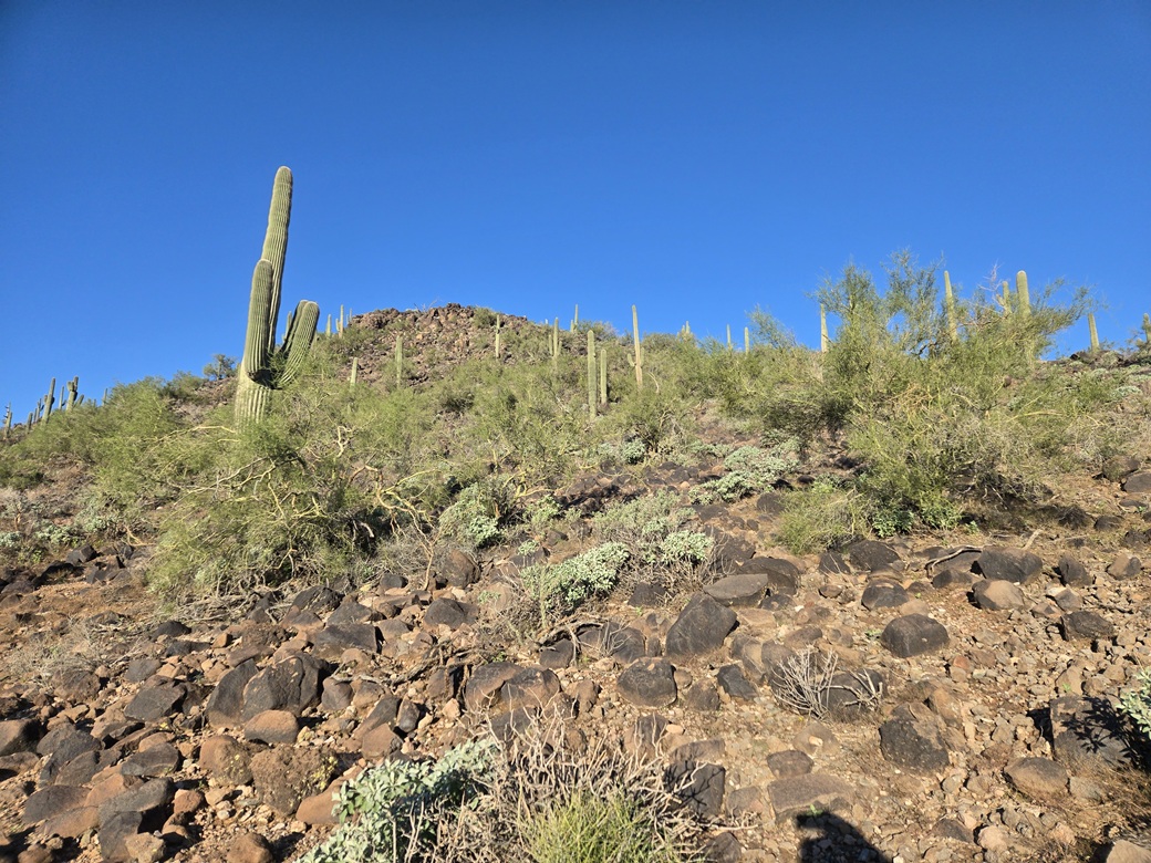
The final climb was more of the same, just a steepish slope of boulders that went slow, but efficiently. I just had to mind the rocks and avoid the occasional patches of prickly-pear and cholla cactus.
And that was it — I was on top of Peak 2127, the one-way hike taking about 90 minutes covering just over 4 miles. The top was rocky, no surprise. I signed into a register, the first in 2 years, only the third overall going back ten years.
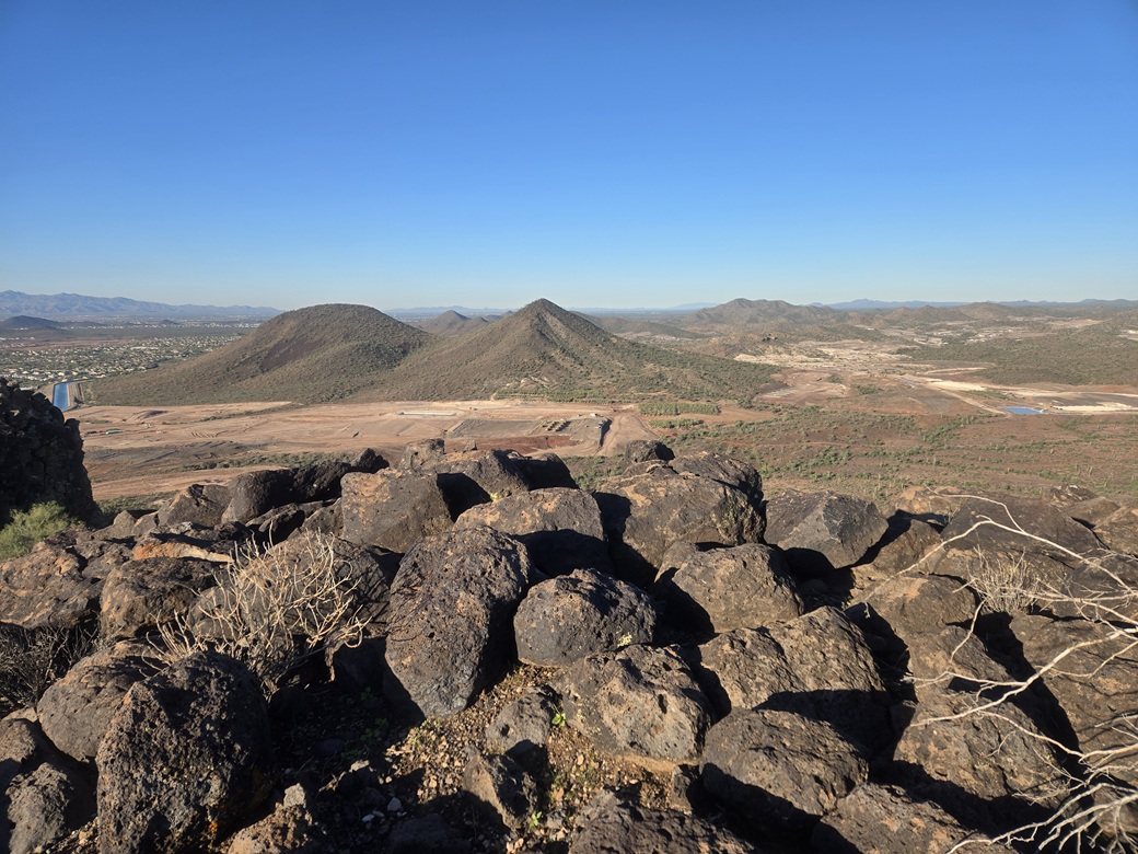
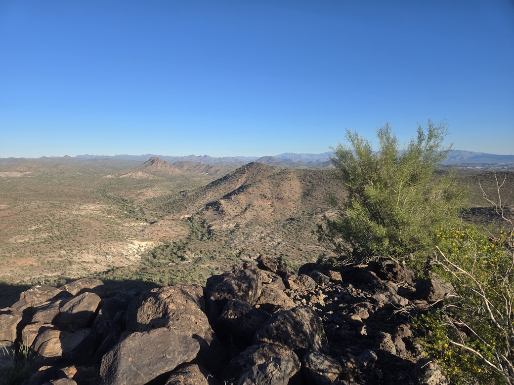
The views were good. I could see last week's peak, Peak 2143, to the north. Although 16 feet higher in elevation, it looked lower from this vantage. I could also see the development down below in Vistancia, and hear the occasional work truck beeping. The day was clear and lovely, not too chilly. I spent ten minutes up top.
For the downhill, I followed my ascent route with just one variation: I stayed low and bypassed the ridge. Here, I could hear huffing and footsteps and then some braying. A donkey was down below. Then, as I got a little lower almost back to the tracks, another donkey just let me have it, braying at me. I got its image.
Once back to the tracks, I made good time walking down, and was able to follow my own tracks out, literally. Down back into the Agua Fria channels, I could see my own bootprints most of the way. The ground was still very soft in places. Then I was back under the crackling power lines and back to my car, the hike out taking about 80 minutes, maybe a little less.
I was pleased how well the hike had gone. My GPS said I hiked 8.3 miles, which was fine with me. These were some easy miles, especially on the good tracks. The whole area was very pretty, although not so much back at my car. In better light, I could see all the trash dumping that takes place here.
It was still early, and I didn't really have a second peak planned. So I took advantage of this free time to do some sploring, driving the roads and taking a look at two peaks farther west. I hit "no trespass" signs and closed gates, and ended up not hiking any more today, although I got some good sense of the area. This ate up another hour-plus. Then I got back onto the freeways and back into Scottsdale where I cleaned up and even went onto campus for a couple hours.
|

|