October 14, 2026
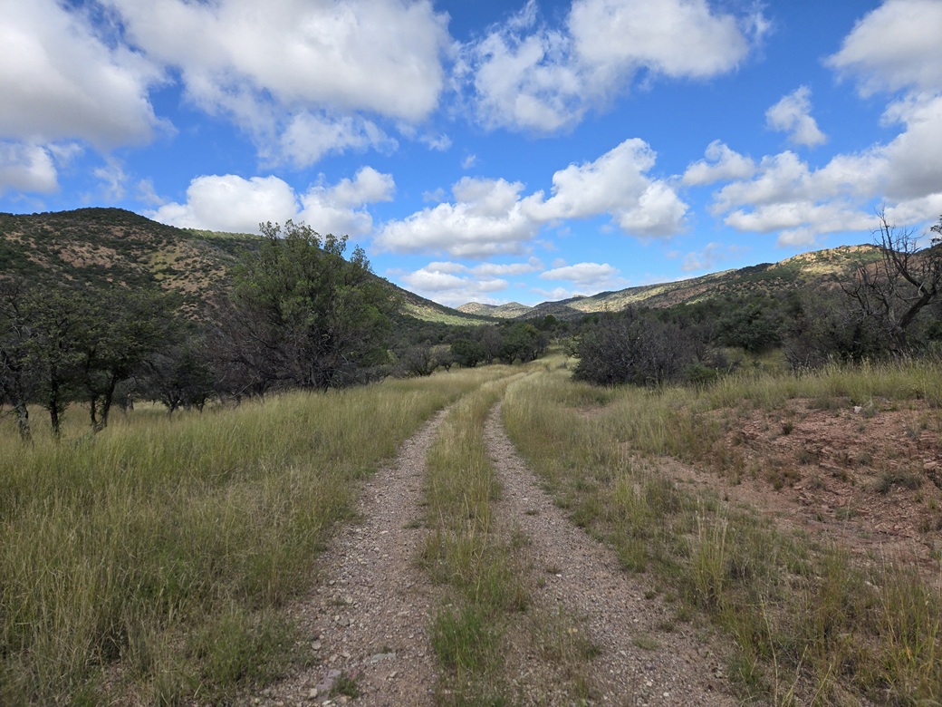
Looking northwest into Collins Canyon near the start. The summit is not visible from here
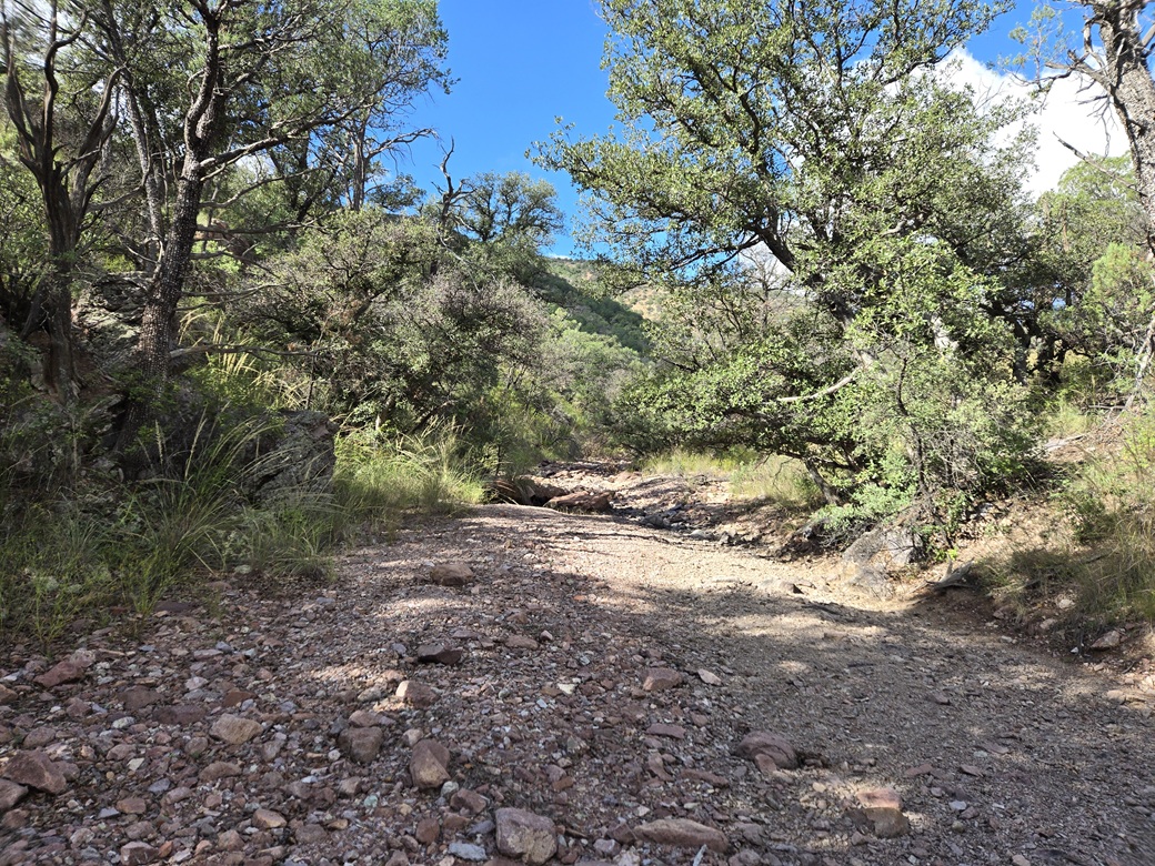
Some canyon bottom hiking on the way in
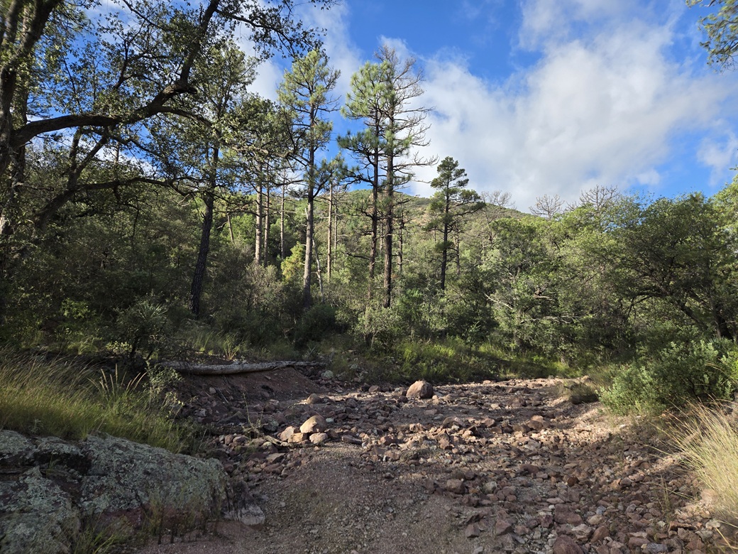
I left the canyon bottom here, the peak is visible through the trees
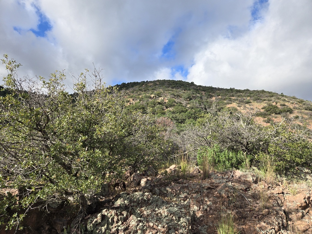
Halfway up the slope, the summit appears
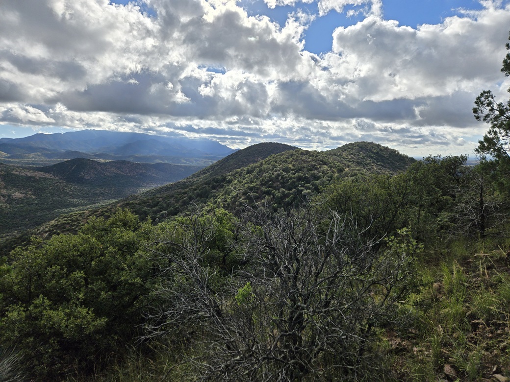
Look south at the nearby hills, with cool light effects from the clouds
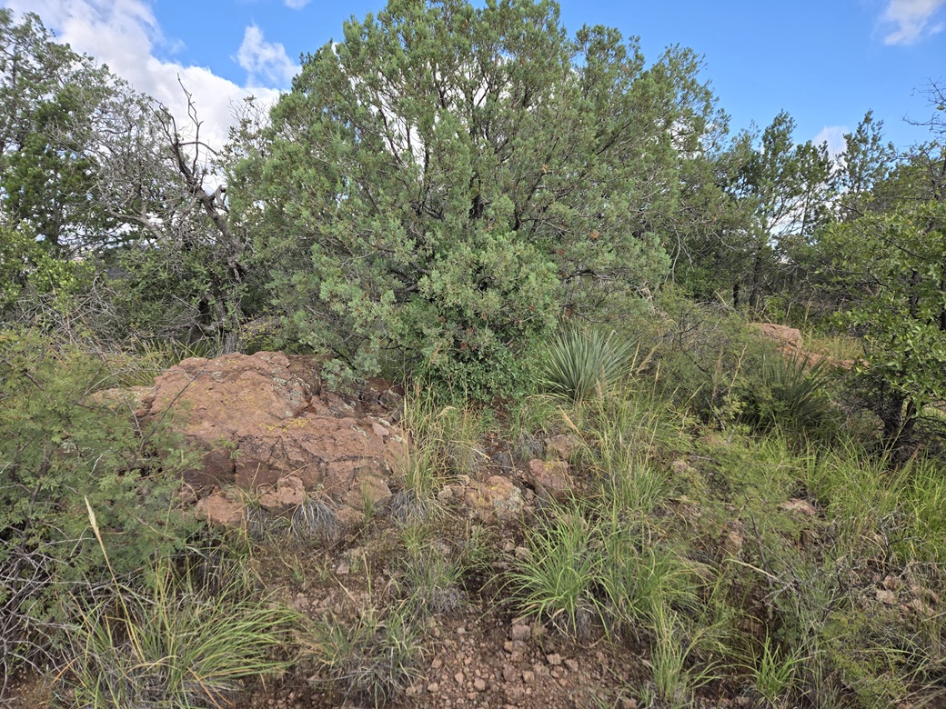
Summit rocks and general area
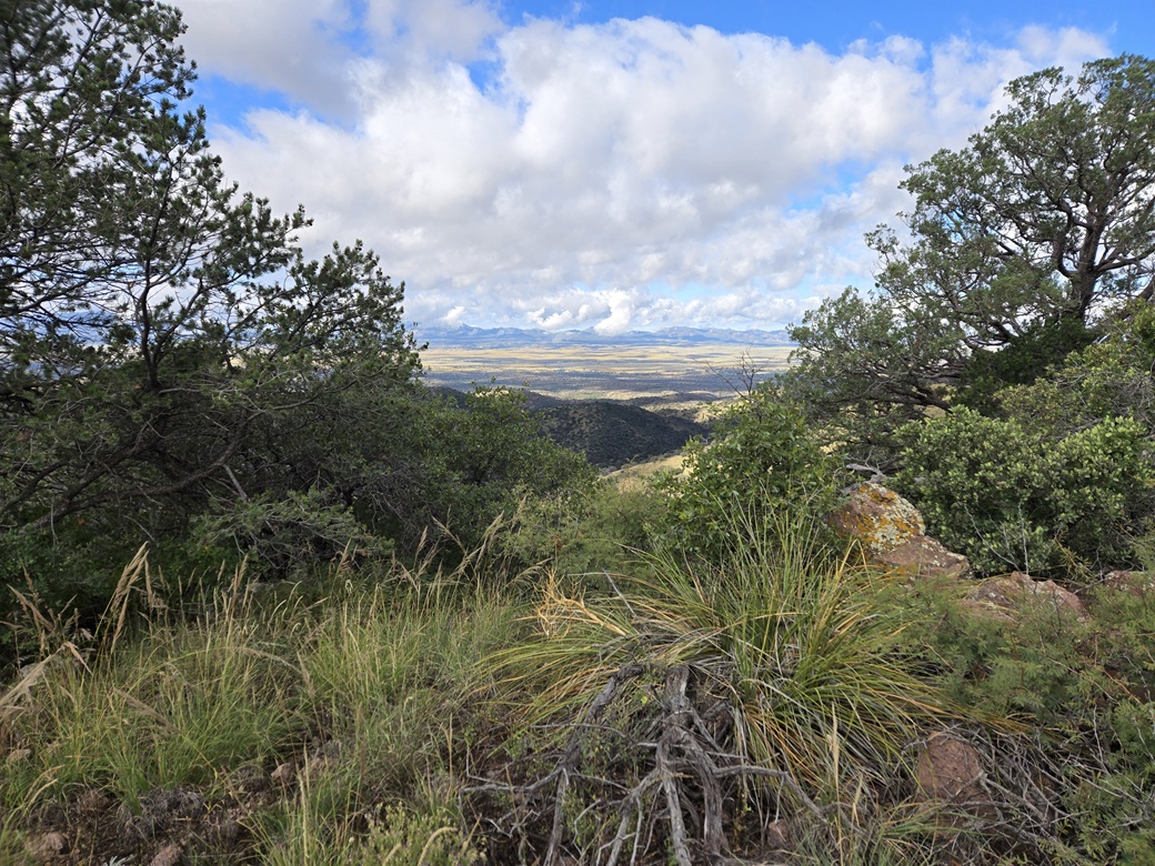
View into San Rafael Valley from the top
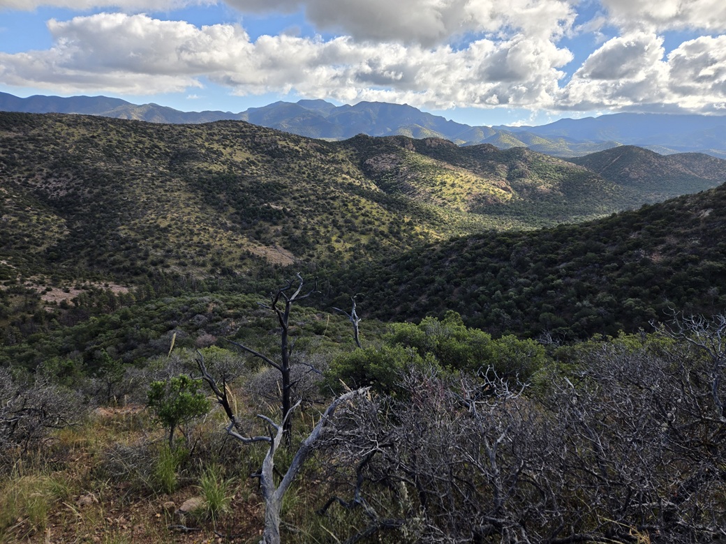
Looking down as I descend into Collins Canyon. The distant peaks are in the Huachuca Range
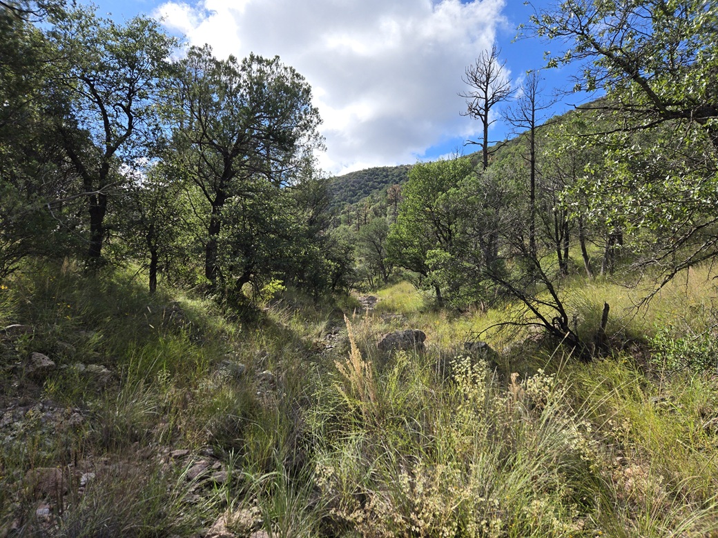
Hiking out within the canyon
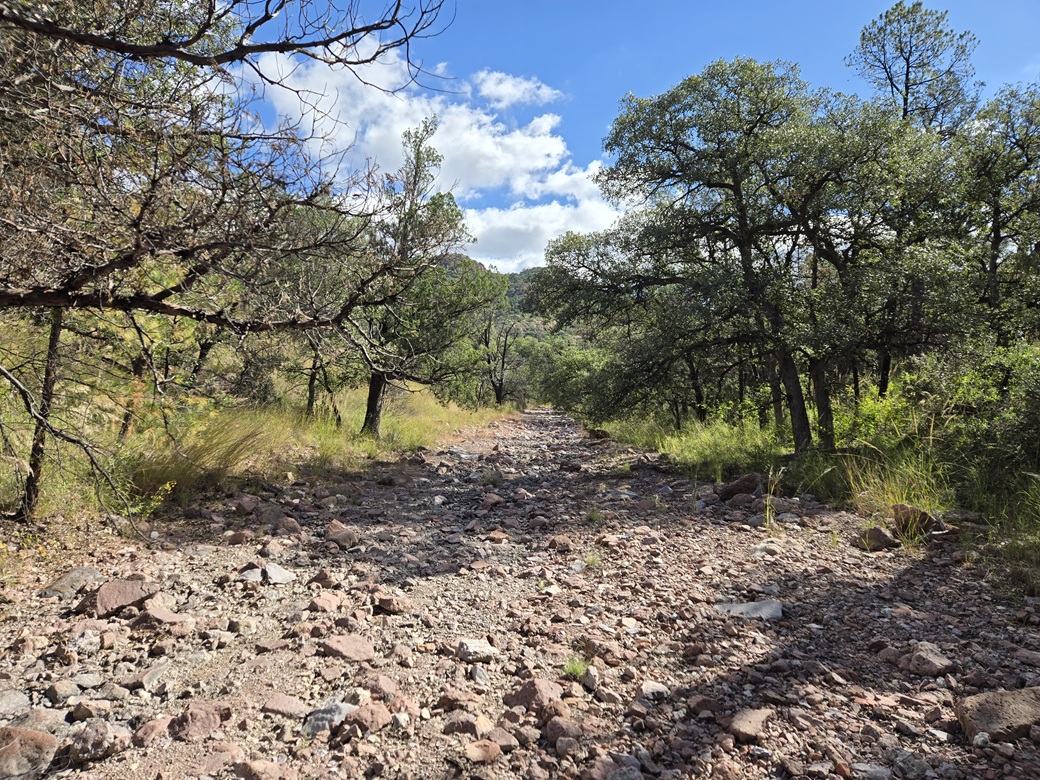
Another canyon shot, more rocky here
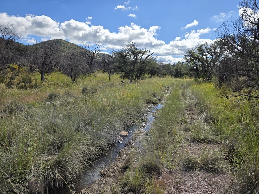
Some puddles from the recent storms as I exit
Arizona Page • Main Page • Trip Report
(c) 2026 Scott Surgent. For entertainment purposes only. This report is not meant to replace maps, compass, gps and other common sense hiking/navigation items. Neither I nor the webhost can be held responsible for unfortunate situations that may arise based on these trip reports. Conditions (physical and legal) change over time! Some of these hikes are major mountaineering or backpacking endeavors that require skill, proper gear, proper fitness and general experience.