
The Mountains of Arizona
• surgent.net
|
| Canelo Hills Benchmark |
• Canelo Hills • Coronado National Forest • Santa Cruz County |
|
Date: October 14, 2026
• Elevation: 6,264 feet ✳
• Prominence: 464 feet
• Distance: 3.9 miles
• Time: 3 hours, 15 minutes
• Gain: 855 feet
• Conditions: Sunny with fast-moving clouds, very pleasant
Arizona
•
Main
•
PB
•
LoJ
This peak rises in the Canelo Hills on a ridge west of Collins Canyon, northwest of Parker Lake. Its map summit elevation — 6,257 feet — suggests it may be the highest point in the Canelo Hills. However, Geode Peak, which rises north along an adjacent ridge, is higher by 10 feet. Lidar gives this peak an elevation of 6,264 feet.
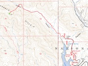
Getting close to the peak is a challenge. The Arizona Trail gets within a half mile of the peak, but requires almost 6 miles of hiking to that point. In studying the satellite images, I saw an old track within Collins Canyon that is not shown on any maps, but could possibly get close enough to the peak to cut the mileage by half.
Amy P. hiked this peak just a few weeks earlier and went this way. In fact, when we met for Sutherland Peak two weeks ago, she mentioned this route and that it worked well. I decided to come back soon and climb this peak.
I left Bisbee before dawn and was on the Elgin cut-off road at about dawn, dealing with fog for much of the way. As the sun rose, the fog lifted, and I had an easy drive to Parker Lake, still 26 miles from the tiny settlement of Elgin.
At some point, my "low-tire" light went on. The car was handling well, so I still drove, although I took it slowly. I rolled into the Parker Lake area around 6:30 a.m., and drove as far as possible to where the main road swings northwest. I came to a gate in the road. It was dummy-locked, but I parked outside anyway, not wanting to take a chance of getting locked in.
The weather was mild and pleasant, temperatures about 60°, with scattered clouds but no organization into any storms. It was still shady where I was, and would stay so for much of the initial hike.
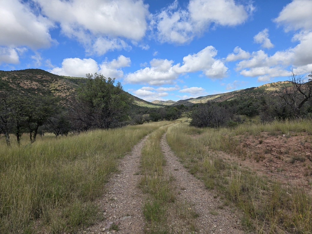
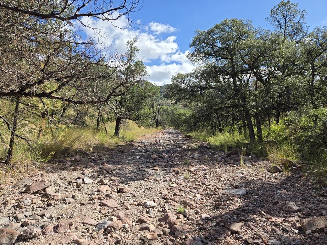
I followed the road to its end, staying right or straight at any junctions. The good road ends soon, a lesser track goes in another mile, then a very old scant track continues in farther. It was covered in grass and rocks, but easy to follow.
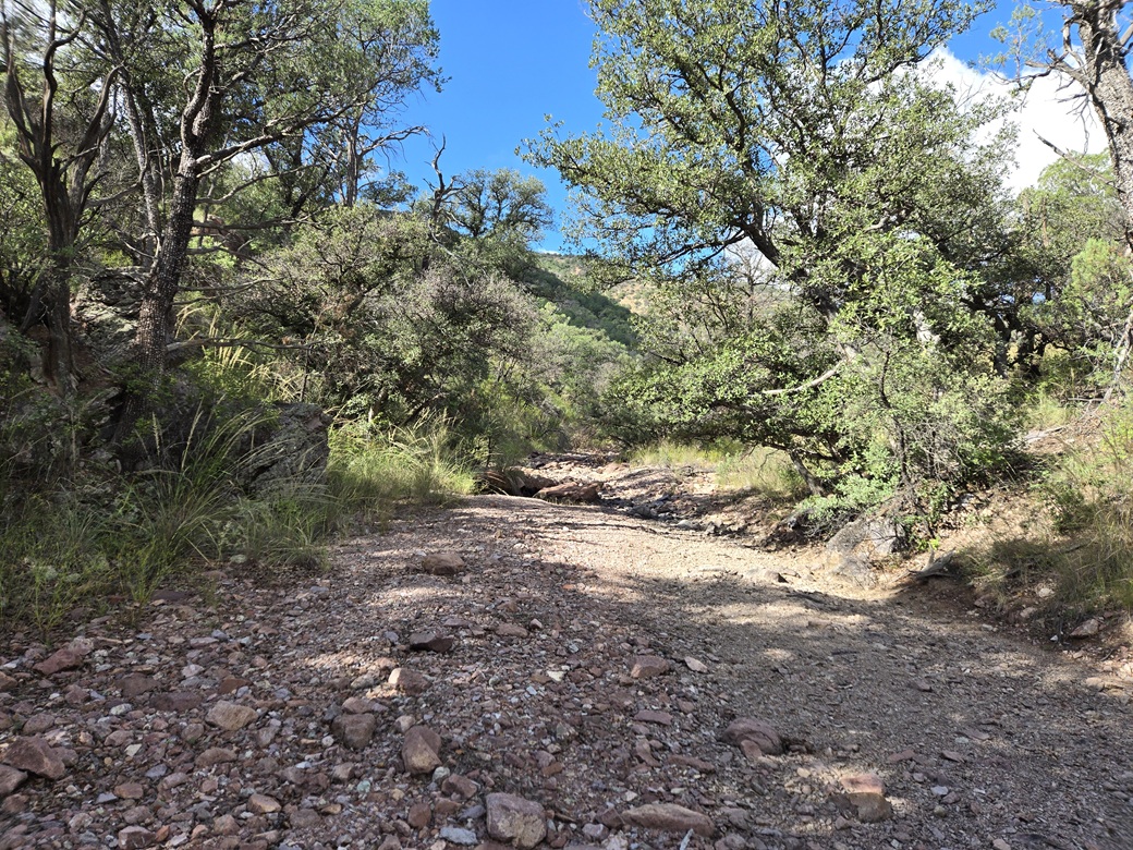
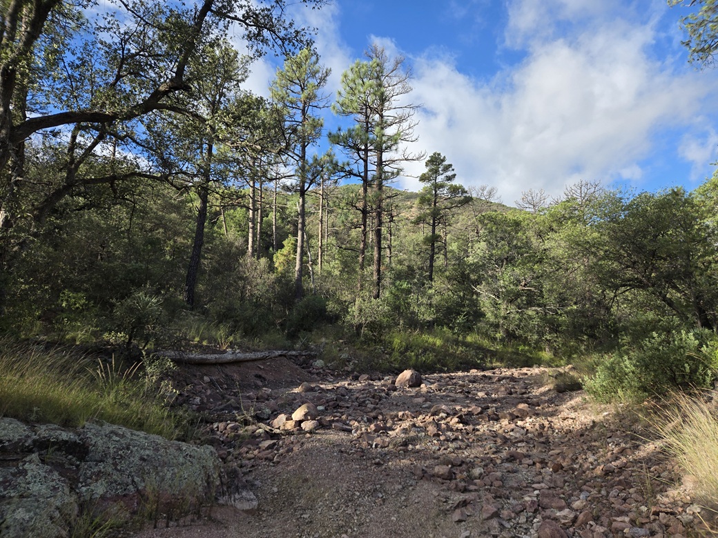
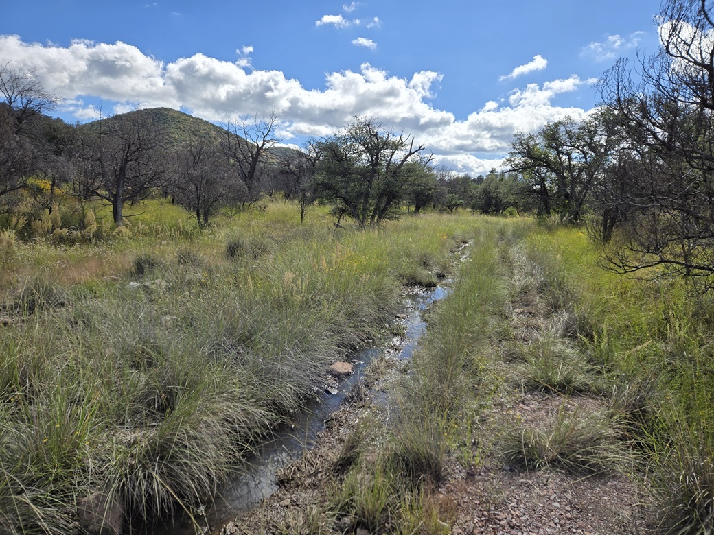
This track drops into the canyon bottom, and even then, I could make out tire tracks for another quarter mile within the canyon. The bottom was wide and rocky, but easy to move through. It never got too tight or brushy, and the few rock barriers were easy to climb up and over or bypass.
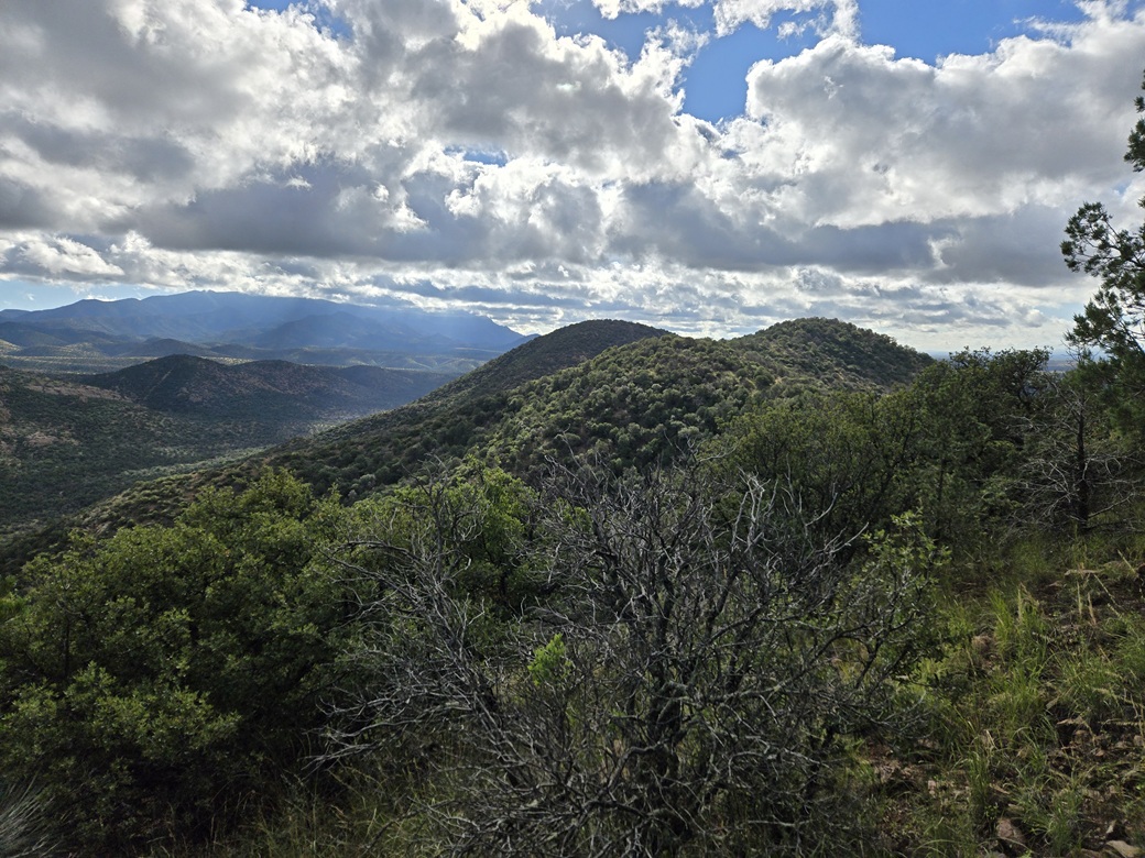
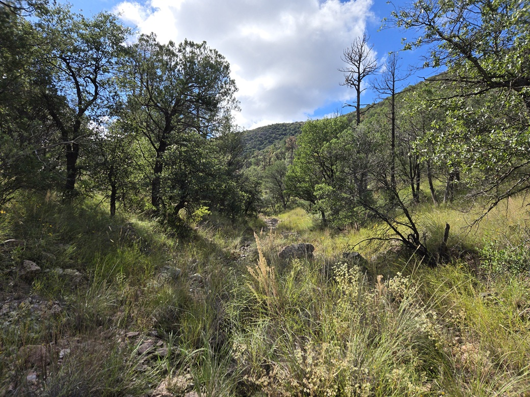
I stayed within the canyon bottom about a mile, until I was about as close to the peak as I was going to get, roughly a half-mile to its northeast. It made sense to just bust up the slope closest to the peak. There was no advantage to leaving the canyon earlier.
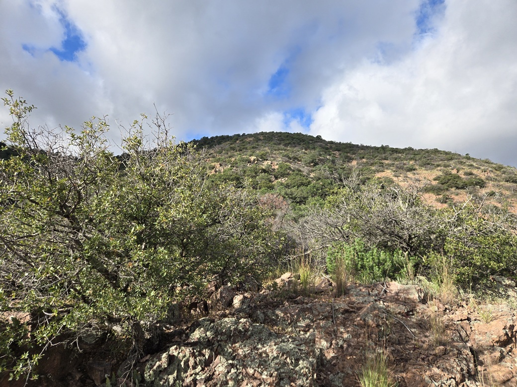
I was looking at bout 700 feet of gain up moderately-steep slope. I picked a spot and started up. It was as I expected: steep, with grass and plenty of trees and lower brush. I just moved slowly and followed any lanes I could.
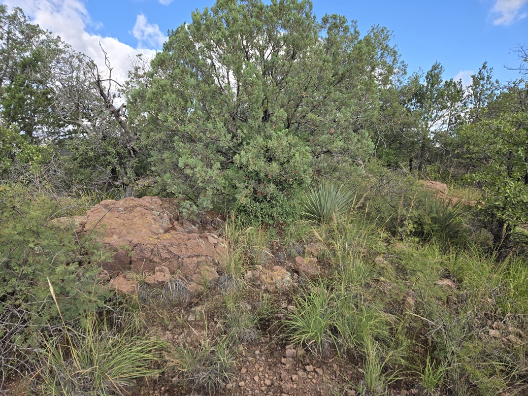
The initial 50 vertical feet is steepest, then it lies back slightly. The next segment, roughly half the gain, is up this slope. As before, I moved side to side to find lanes, and would bust through the branch tangles when I had no other choice. Then the slope leveled briefly.
This was about the halfway mark. I could see the summit directly above, and it all looked about the same: more trees and brush, plus some low rock tiers.
I pushed upwards to the lowest of the rocks, then walked up these, never needing to scramble. I had to use hands for balance and high-step a lot. The cobbles on the slope could be loose. These rocky portions went for about 200 vertical feet. Above them, the brush and trees got much thicker. The last hundred or so feet was the brushiest and branchiest of the hike.
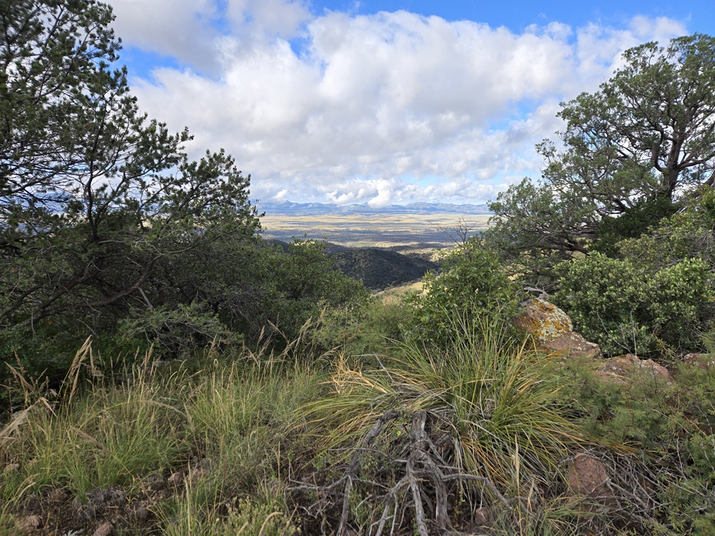
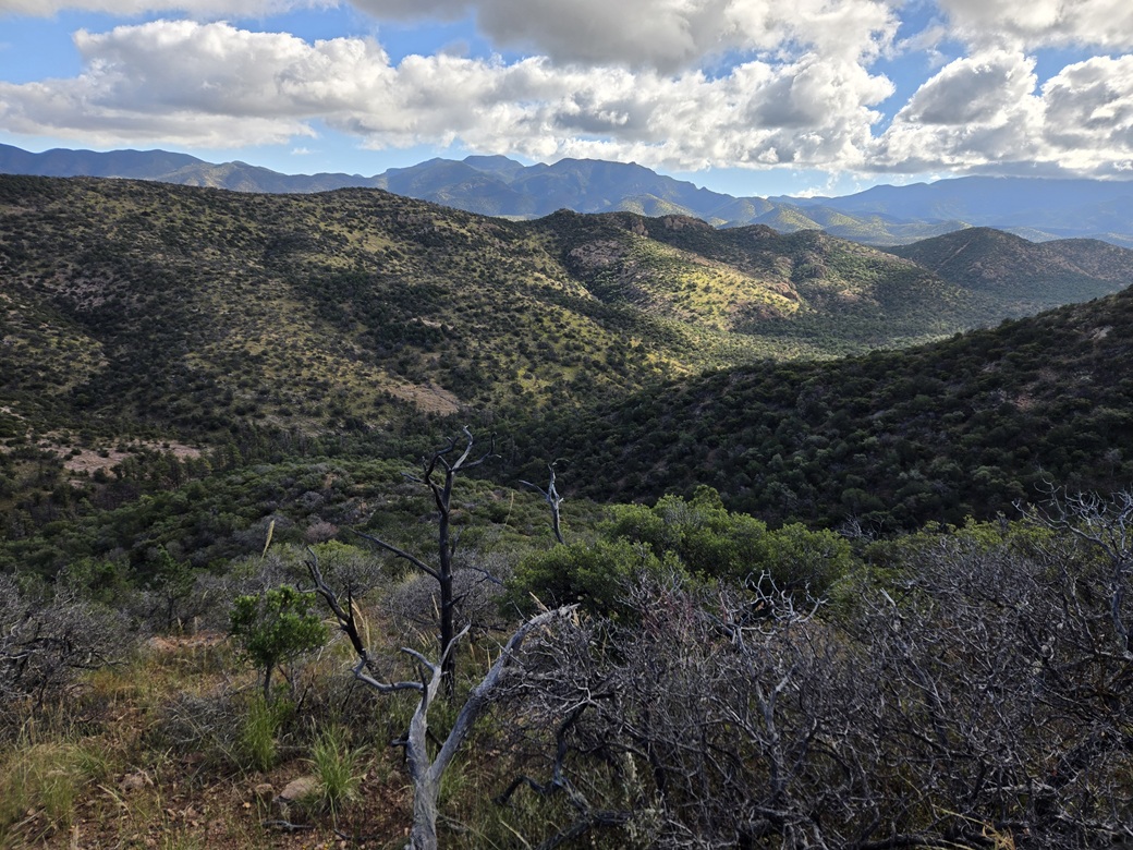
Then I was done. I was on the summit. The slope leveled suddenly, and I walked to the summit rocks, there being a few to choose from. I found Amy's register in a cairn and signed in. I also tagged any nearby rocks to be sure I had "summitted". There were abundant trees and brush to block views, although I had a fine view west of the San Rafael Valley.
The map shows a benchmark symbol, thus the unofficial name "Canelo Hills Benchmark", but I could not find it or any associated reference markers. It does not appear in the NGS database. It's not uncommon for these benchmark symbols to be on maps where there are no actual benchmarks. Maybe there was one a hundred years ago. In any case, any evidence of its existence is missing.
I did not stay long. It had taken me about 90 minutes to get here. It was breezier up this high, with some puffy clouds moving through quickly. I wanted to get down while I remembered what to do.
Going down, I did my best to stay close to my ascent route. I was tracking my route with my phone's GPS, but I also tied some ribbons at strategic points to ensure I would not wander down some side gully.
I moved slowly downward, and it worked fine. I was able to ease down the entire slope in about a half hour. Once back in the canyon bottom, I found a good sitting rock and had my main break for about five minutes.
The rest of the hike out took a little under an hour, and I was back to my car about 10 a.m.. I was pleased how well this route worked and would recommend it for future visitors. Not many people have been to this peak overall.
I was concerned about my low tire. They all looked good. I likely had a slow leak from a nail. As long as they looked good, I chose to drive out. I took the roads slowly (fortunately, there is almost no traffic on these back roads).
When I got to Sierra Vista, I pulled into the Discount Tire on Fry Road. Now I could see which one was low: my right rear. It was about half flat. They were able to patch it, telling me I had caught a drill bit in it! They are very efficient and I like these guys whenever I have tire issues.
After some simple grocery shopping, I drove home to Bisbee, arriving about 1 p.m..
|

|