
The Mountains of Arizona
• www.surgent.net
|
| Sutherland Peak |
• Huachuca Mountains • Coronado National Forest • Cochise County |
|
Date: September 26, 2026
• Elevation: 7,266 feet ✳
• Prominence: 489 feet
• Distance: 1.7 miles
• Time: 4 hours
• Gain: 1,418 feet
• Conditions: Sunny, cool then warming nicely
• Partner: Amy Pleckaitis
Arizona
•
Main
•
PB
•
LoJ
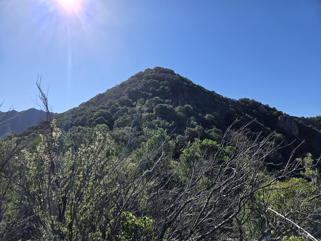
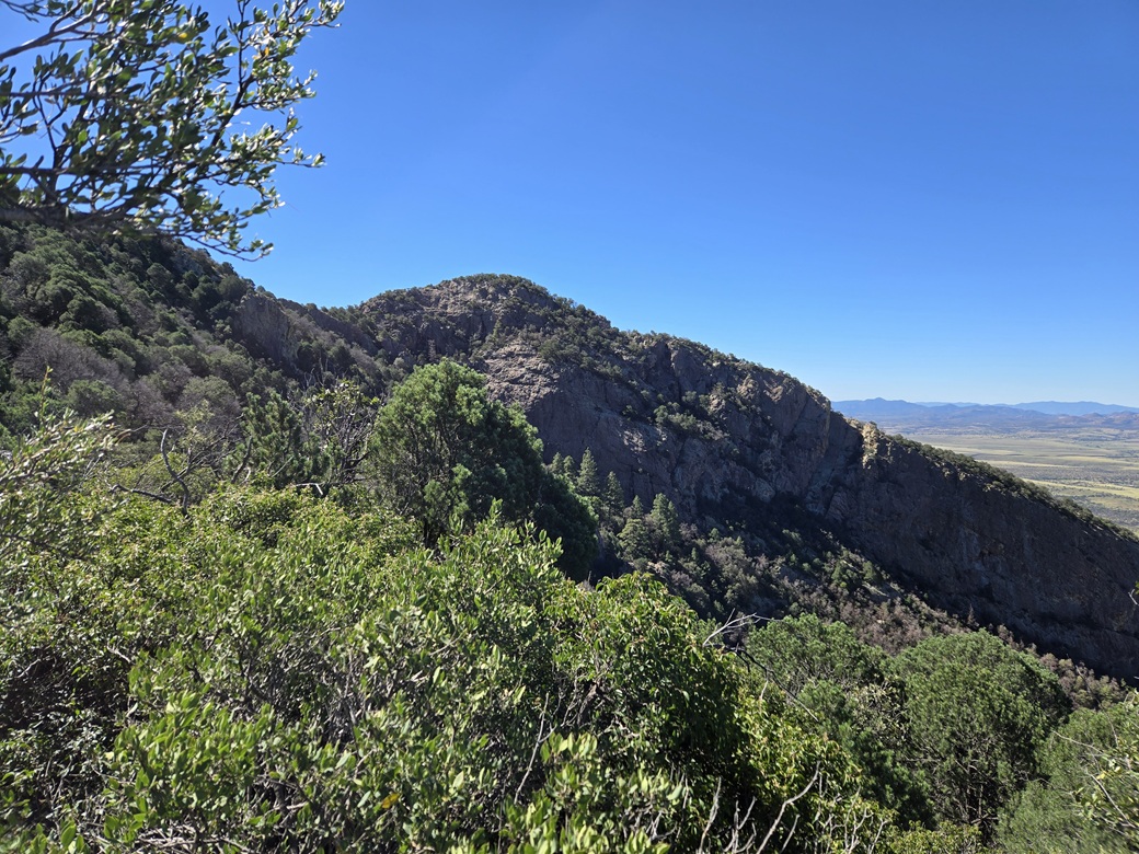
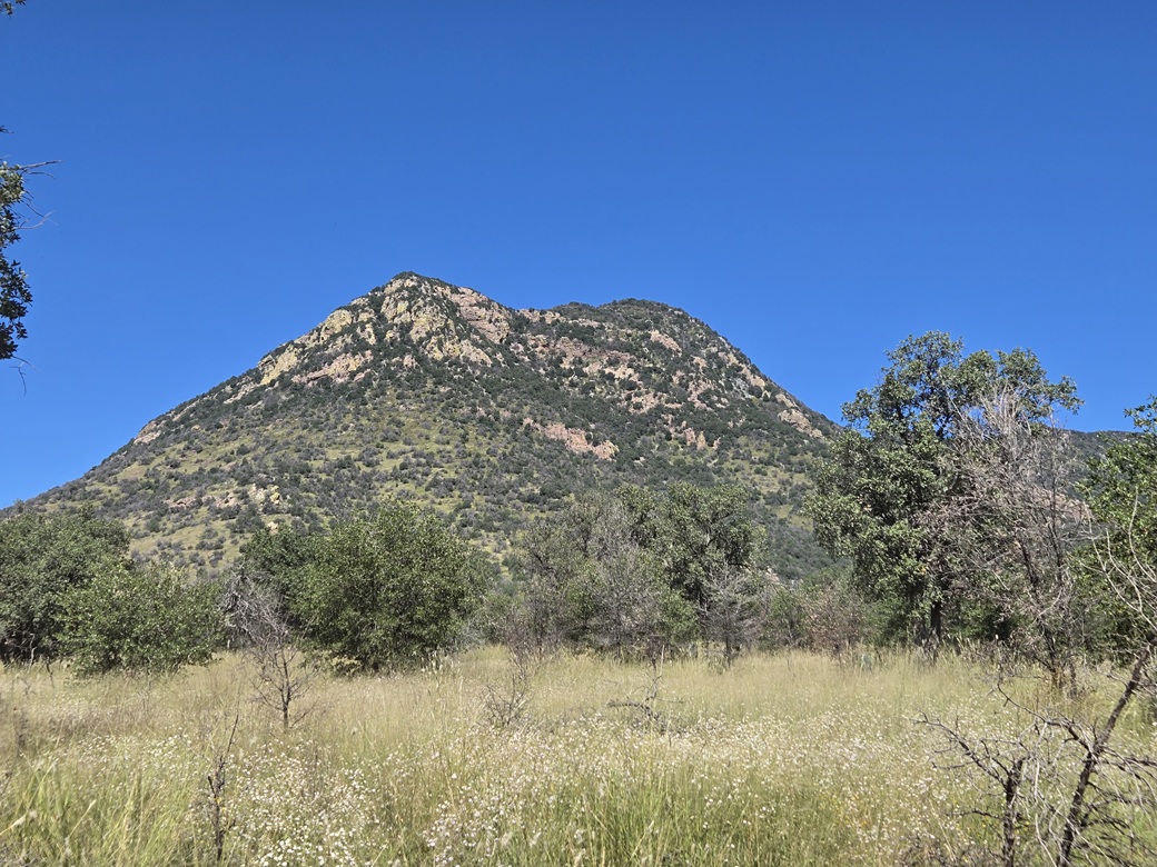
Sutherland Peak rises south of the main mass of the Huachuca Mountains, just a couple miles north of the Mexican border. It is a double summit, the highpoint being the northern of the two peaks by about 50 feet. From any angle, it is an abrupt bump of a peak, with cliffs, rocks and steep forested slopes.
According to Will Barnes' Arizona Place Names, the peak is "named for old Jim Southerland, cattleman. Bought a ranch in Hayfield Canyon on the San Rafael grant, where he lived for several years. His death was from falling into a well he was digging on this place." In current times, there are just two Sutherland Peaks in the world, according to the Peakbagger database. This one in Arizona, and another in ... Antarctica.
Amy and I agreed to meet for this peak. She was in the area climbing a few other peaks and I wanted to join her for this one. It would be nice to hike this peak with someone. I was out my door at 4:30 a.m. taking the longer route via Sierra Vista and Elgin, down through Parker Canyon. It is much shorter to come in via the Coronado Memorial, but I did not want to drive that road in the dark. I would exit this way later on.
I rolled in to our meeting place, FR-4774, north of the "Bob Lucy Corral". This road leads to a trailhead within the Huachuca Mountains. I arrived at 6:30 a.m. and parked in a clearing about a hundred feet north of the main road. It was sunny and pleasantly chilly, in the 50s for the moment.
Amy rolled in close to 7 a.m.. We agreed to drive the road in as far as we could. I followed her in my car. The road was in good shape, maintained because of its access to the trailhead. We got in all the way to the loop at the Miller Peak Trailhead, 1.5 miles in from the main road. Any vehicle with decent clearance would be fine on it in dry conditions.
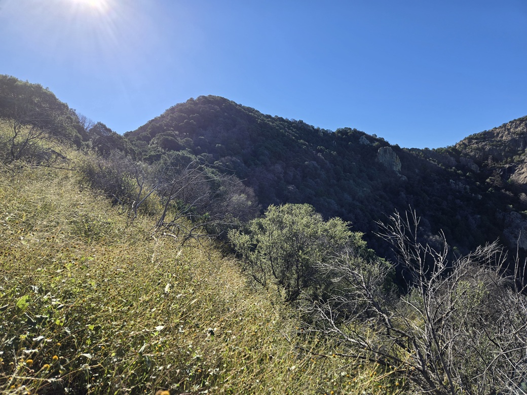
Sutherland Peak loomed high above, its most noticeable feature being the big rocky dome and surrounding cliffs that make up the peak's southern summit. From the trailhead, the peak rose over 1,400 feet higher in less than a horizontal mile. We were west of the peak, in Bear Creek Canyon.
(Amy told me of a bear sniffing around her car the previous night when she camped by Parker Canyon Lake. It pawed at the windows. She scared it off using the alarm feature on her key fob. That area is popular with campers and no doubt this bear has learned there is food to be had by campers leaving things out or easily accessible. Bears are common in the Huachucas.)
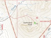
Not a lot of people climb this peak, so trip reports and routes were limited, just two showing the same route from the east side via Ida Canyon. Amy had plotted a route from the west side that she said should be less brushy. I assumed we would hike up the trail a bit, cut up a slope to the saddle north of the peak, then up to the peak itself.
We got started about 7:25 a.m., cool and in the shade. We walked in about ten feet past the trailhead sign and Amy said we'd be starting up right here. The route she plotted would just bust up a steep west-facing ridge all the way to the top. I wasn't too sure about this idea, but trusted Amy.
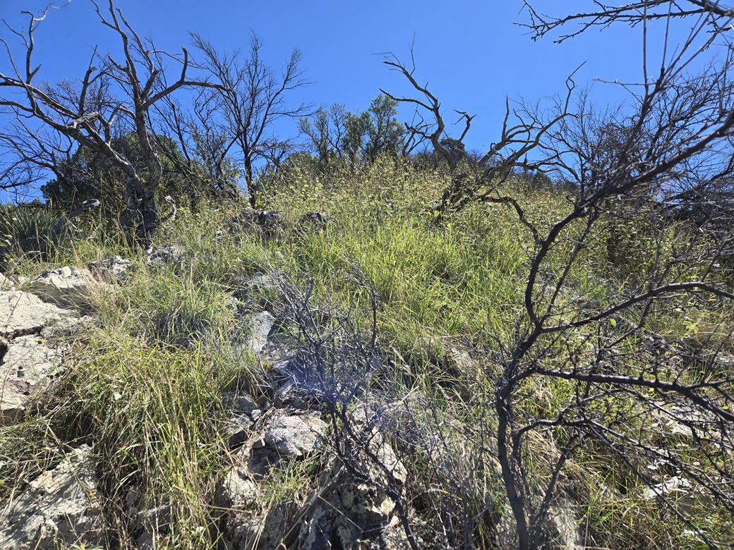
The slope was grassy with trees, spread out at first so that we could see where we were going. It got steep quickly. The grade was about 33%, or an 18° slope (I did the math afterwards). Amy was in front, and we moved slowly but steadily.
It was like this for about the first thousand feet of elevation, just steep and up. The grass was about knee high, and we had openings or lanes about half the time. What few rocks we encountered were low and flush to the ground, limestone with good footing. It was steep but it went. If it stayed like this, we should have no problem.
About a thousand feet up, thigs got a little more involved. The grass was denser and taller, up to my hips and belly in places. Some of it was pliable, the kind that wraps around one's feet and legs. The trees closed in and their branches would entangle. We moved slowly through these segments.
Another couple hundred feet of elevation brought us to a short flat segment of the high ridge. The summit was now visible through some openings. This brief segment, perhaps 200 feet end to end, was very slow. The grass was thick and heavy, rocks more plentiful, and the branches and other plants sometimes got so thick there was no easy way through.
This bit went very slow. I had to get on my knees more than once to ease below the branches. We would split up and try alternate routes. It took some effort to get through this. The segment ended at a rock outcrop, about a fifteen foot drop to the saddle below the final push to the top.
From this vantage, the slope up to the top looked nasty, but once within in, it was actually a very easy climb, perhaps the easiest of the whole slog. The trees were thick and their branches intermingled, but the undergrowth was almost non-existent. That tall tangly grass just wasn't there.
This portion went quickly. The last fifty feet was rockier where hands were useful, but there was no actual scrambling. We were higher now than that lower southern bump. But trees hid the views so that we were literally feet from the summit before we realized it.
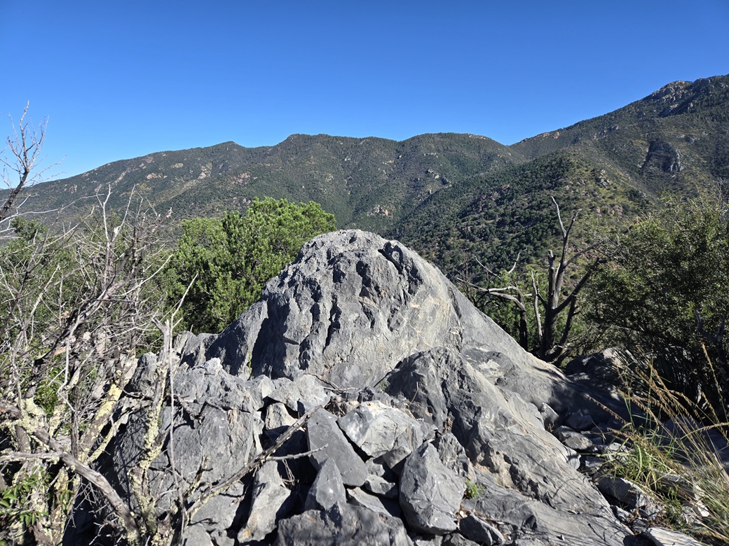
The top is rocky (limestone) and open, with fantastic views. It had taken us one hour and fifty minutes to get here, gaining about 1,420 feet. We tagged the highpoint rock, then sat on some open rocks near the register and cairn. We both snapped some images, while Amy took a video for her YouTube page.
The register had names going back to 2024, about ten in all, a couple in groups such as the Southern Arizona Hiking Club and the Huachuca Hiking Club. Other summitters would be Mexican border crossers, as we found evidence of their presence along the route (old tins, carpet shoes, random clothes and so on).
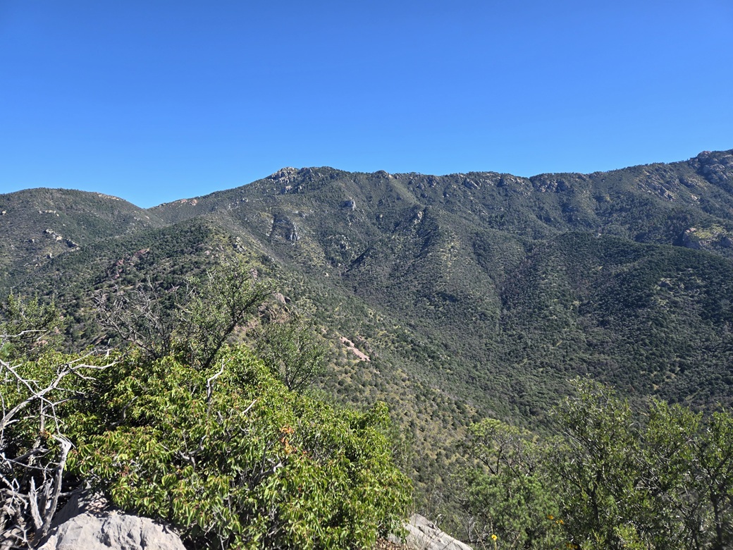
We spent about twenty minutes up top. The best view is of the high Huachuca Crest, still another 2,000 feet higher from our position. Sutherland Peak has such steep slopes in all directions that it feels like being on a perch, the slopes just dropping suddenly.
Now to get down. I had recorded an ascent route on GPS but turned it off when on the summit. Amy kept her's running. I was ahead but we stuck close together. The terrain would not allow us to move fast. Once past the short level stretch and onto the steep downhill slopes, we would stick as close to our ascent route as possible.
We inched down the slopes, all of it looking the same. We had the advantage of seeing openings to hike through. Amy would report if we were too far left or right of the ascent line.
Near the bottom, with only a couple hundred feet to go, I took off on my own and hiked out to the road, meeting it about fifty feet south of the cars. I arrived back at about 11:15 a.m., by now sunny and warm, and very insecty. I chaged into shorts and a t-shirt, then waited for Amy. She was just a few minutes behind me.
Once she was out, we shook hands and I thanked her for allowing me to join her, and agreed her route worked well. It was steep, but never worse than that. No cliffs or show-stoppers. Just one long damn steep slope.
She was going to climb another peak, while I wanted to head home. I exited and took the main southerly route west toward the Coronado Memorial, on the Huachuca Mountain's southern crest. I stopped and parked and took a couple more photos. It was warm, now into the 80s. I dropped down the east side, got back on highway AZ-92, and was home about a half-hour later, after a Safeway run and a stop for three fish tacos.
Sutherland Peak was a stiff hike, but never worse than that. Was our route better than the others? I cannot say. I suspect they all feature the same steep slopes, tall grass, rocky outcrops and tangly branches.
My GPS said it was 0.83 mile from the cars to the summit, which seemed short, yet plausible. I suspect it calculates the distance based on horizontal changes only. Assuming 0.83 mile, that's 4382 feet that we moved horizontally. But we gained 1,418 feet. That's a consistent 32.3% grade (1418 divided by 4382). The arctangent of that is 17.9°, so we hiked roughly 0.83/cos(17.9°), or about 0.87 mile (this can also be found using the Pythagorean formula).
Amy's GPS had us at about 1.1 or 1.2 miles. Given all the wiggling and lateral movement we had to do, this is also plausible. For this page, I cut the difference, which comes out to about a mile on the nose. Your mileage may vary.
Here is a good YouTube video by a hiker from last year: Flynn Hikes — Sutherland Peak.
Here is Amy's short summit video: Amy's video. My hiking pole appears briefly at the end. I tried to stay out of her way.
|







|