September 26, 2026

Sutherland Peak is centered in this image, seen about a quarter of the way up the slope

To the right is a massive cliff
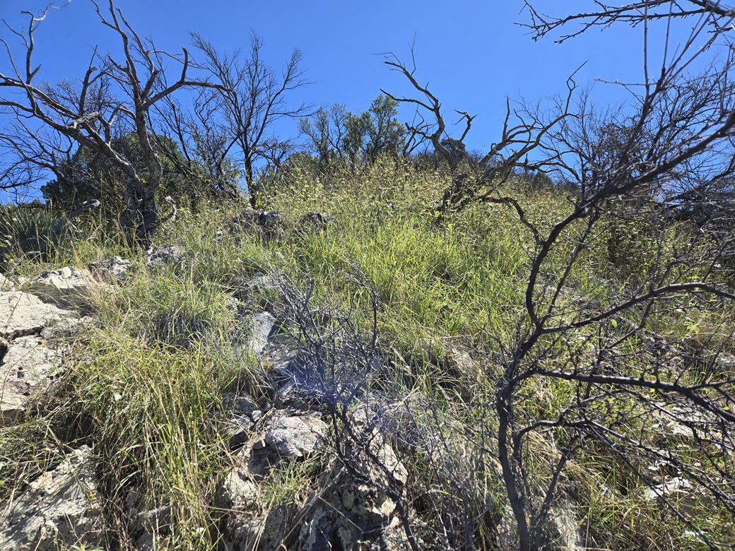
Typical grass and branchiness
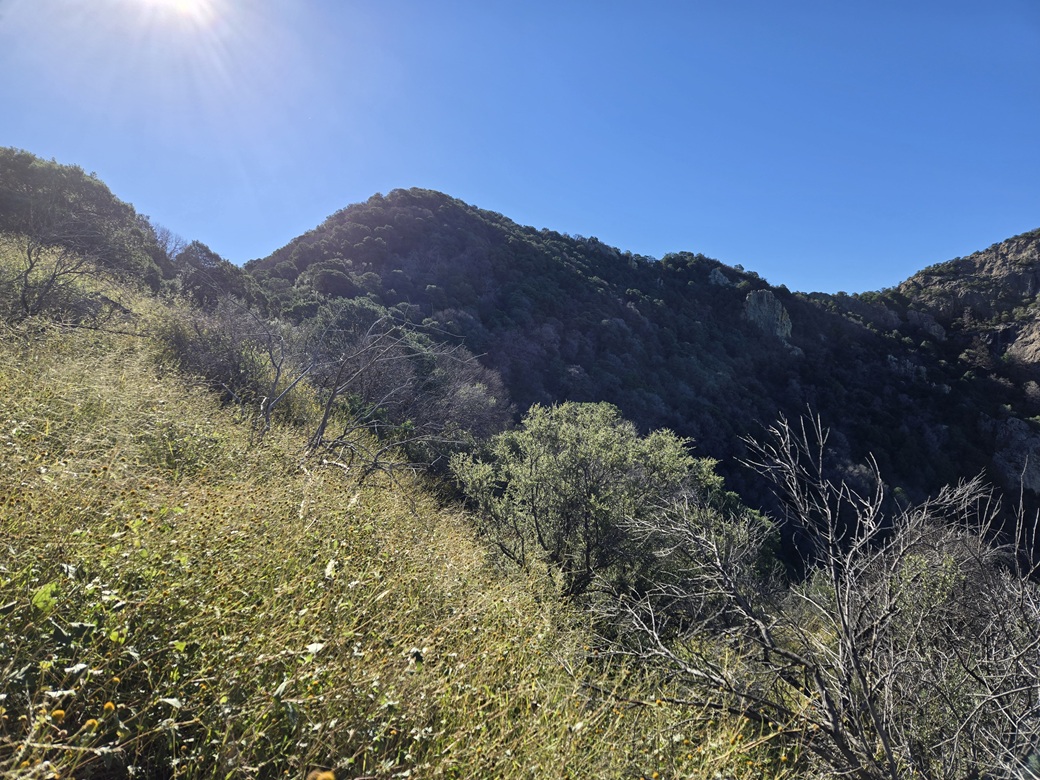
Higher up, the summit becomes more obvious
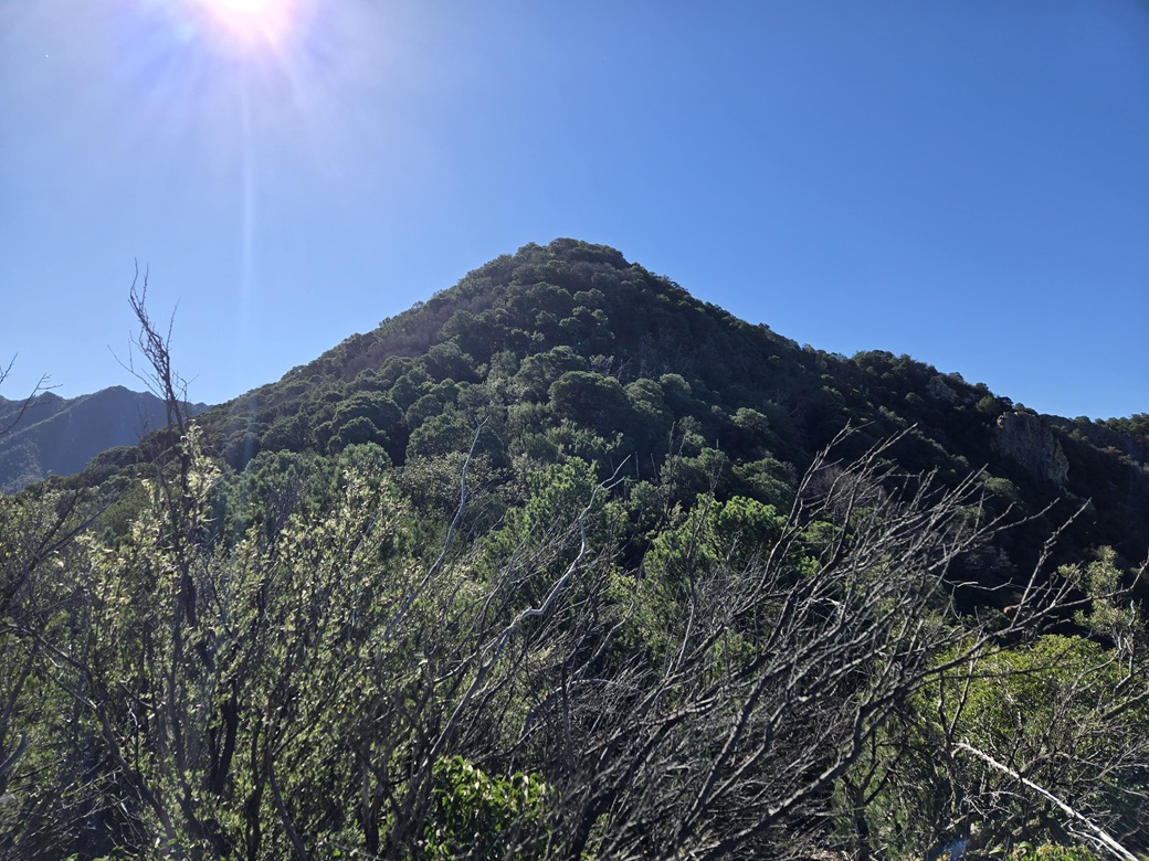
Now just below it
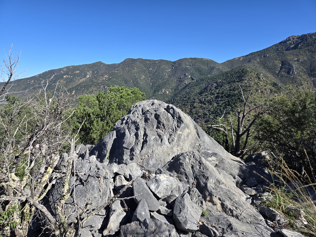
The highpoint rock
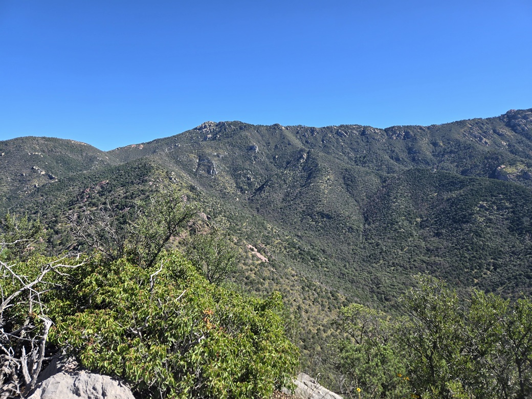
View north of the Huachuca Crest

South, the lower bump
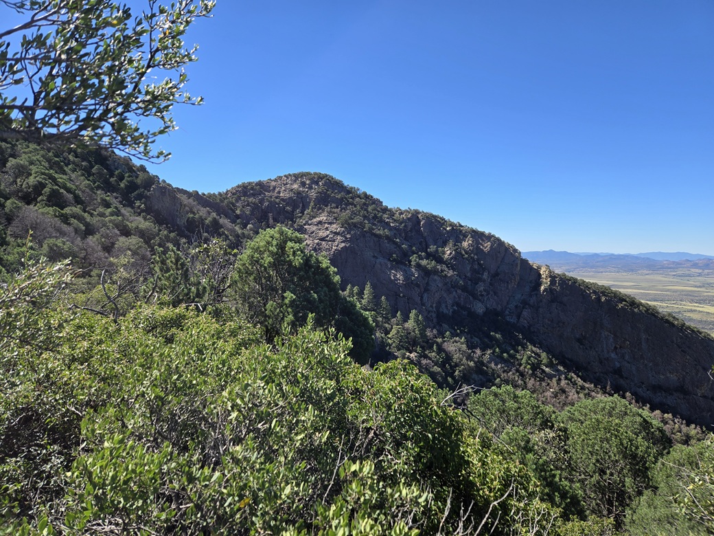
On the descent, that lower bump again

View down, pretty much was like this all the way down

Another view down, I am in the shadow of the trees (photo by Amy)

Back on the road, looking up at the top
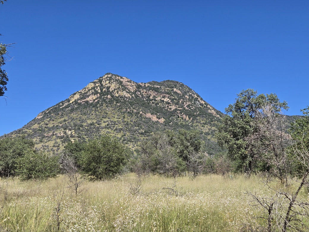
Sutherland Peak is to the right, as seen from the road to the east

The peak as seen from the Coronado Memorial
Arizona Page • Main Page • Trip Report
(c) 2026 Scott Surgent. For entertainment purposes only. This report is not meant to replace maps, compass, gps and other common sense hiking/navigation items. Neither I nor the webhost can be held responsible for unfortunate situations that may arise based on these trip reports. Conditions (physical and legal) change over time! Some of these hikes are major mountaineering or backpacking endeavors that require skill, proper gear, proper fitness and general experience.