October 7, 2026
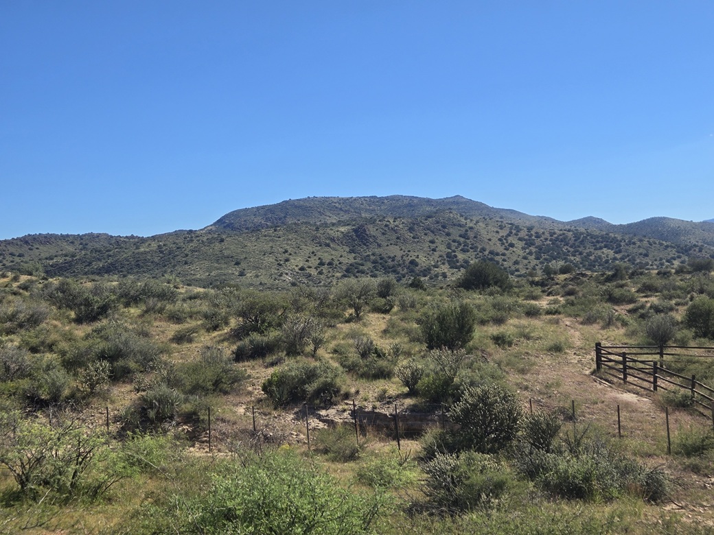
Black Mountain viewed from Wagoner Road, taken later in the morning when the sun was higher
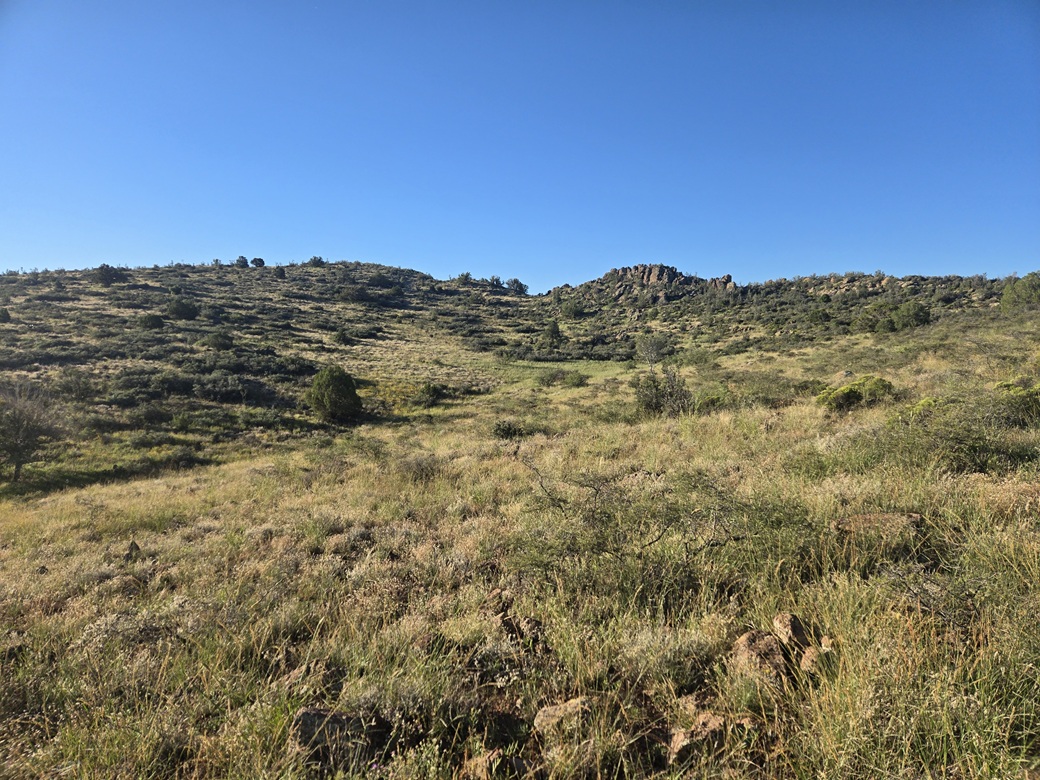
The summit is up and to the left
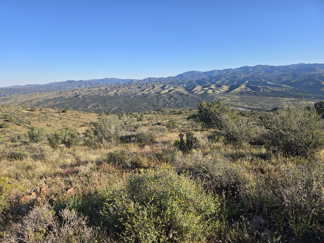
View north from the top
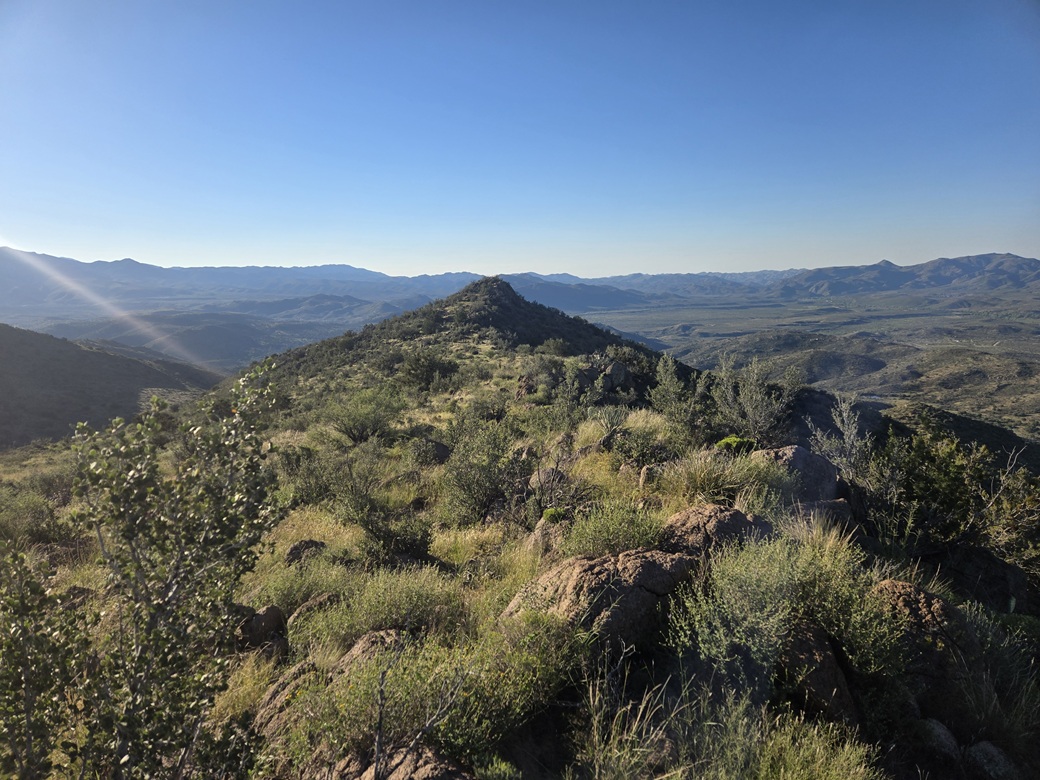
View south, that crag is 2 feet lower than the summit I am on, according to Lidar
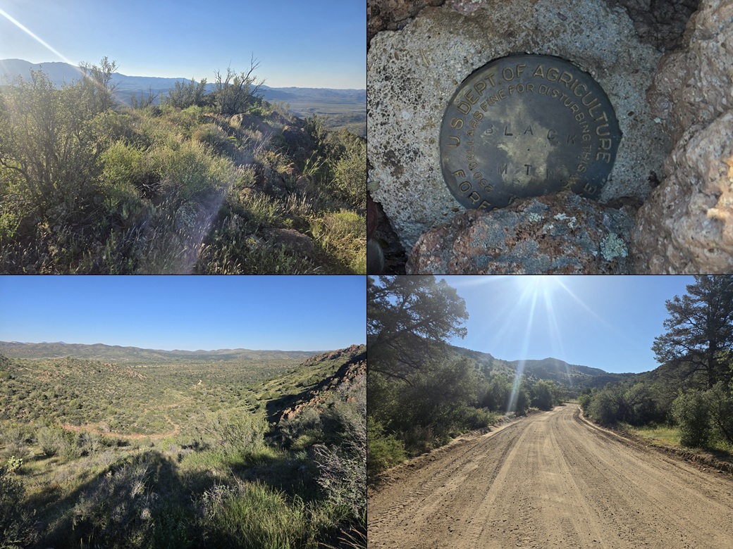
Summit views, benchmark, and some views as I hiked out
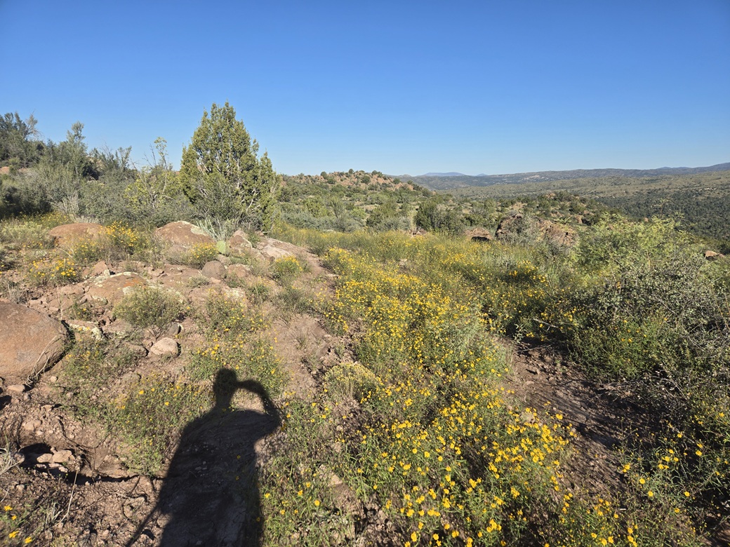
Those flowers? That's the road
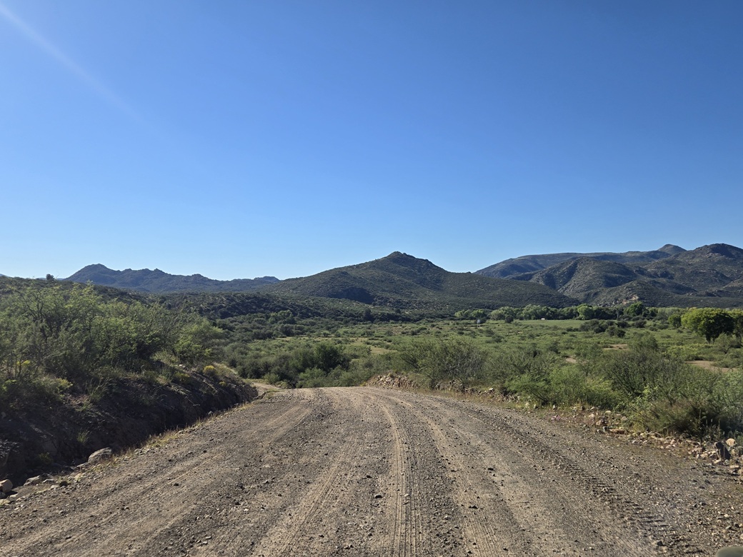
Peak 3906 in the distance
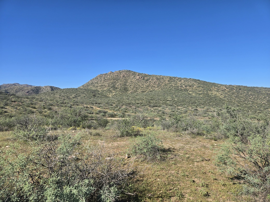
Now seen from where I parked. That rocky crag is the highpoint but it doesn't seem like it from here
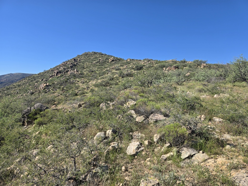
About halfway up
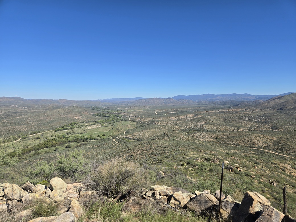
Almost at the top, view north of Black Mountain
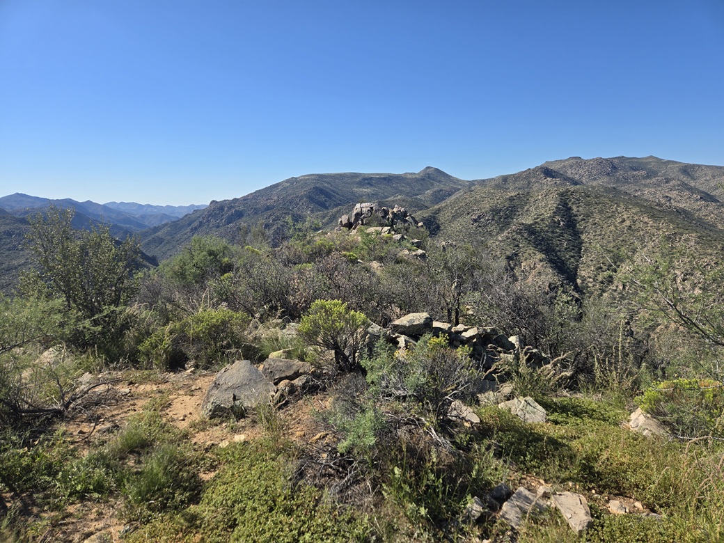
Hello, what have we here?
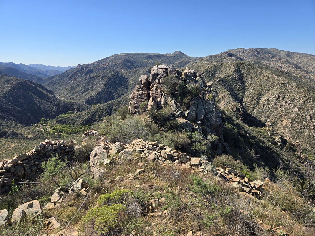
That crag is obviously higher from this vantage
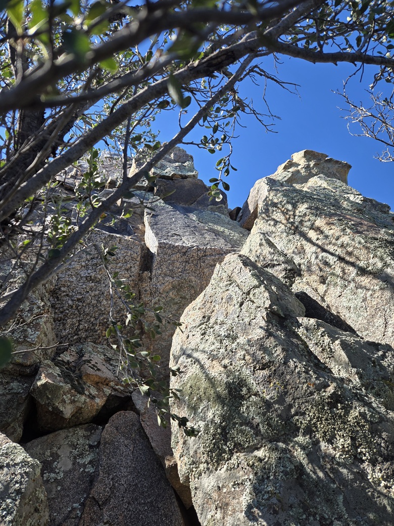
I sidled under that tree and am now looking up at the rocks I will climb
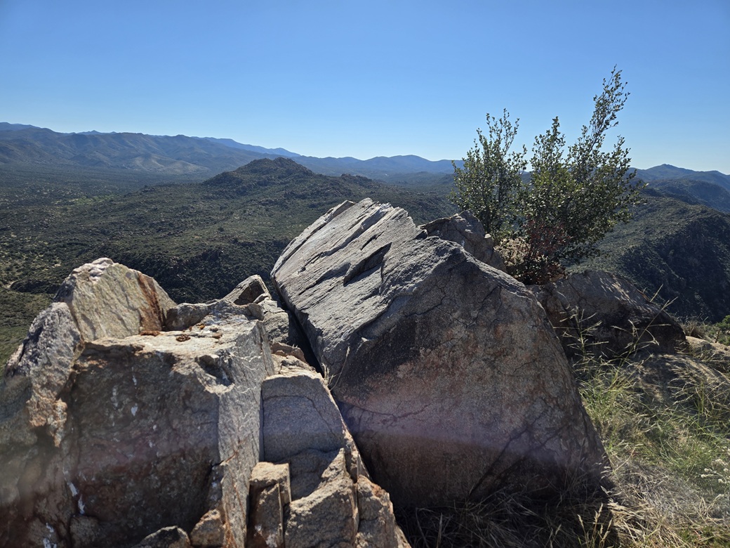
The summit rock
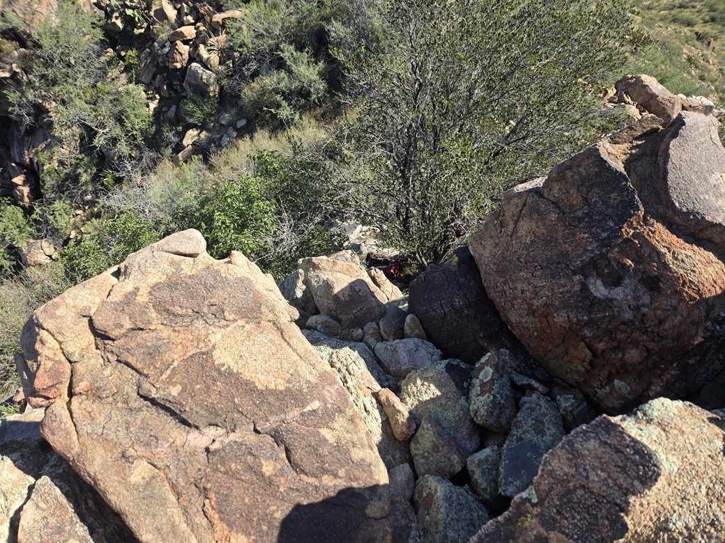
Now looking down. The holds were bombproof but the exposure was high and the moves a little awkward
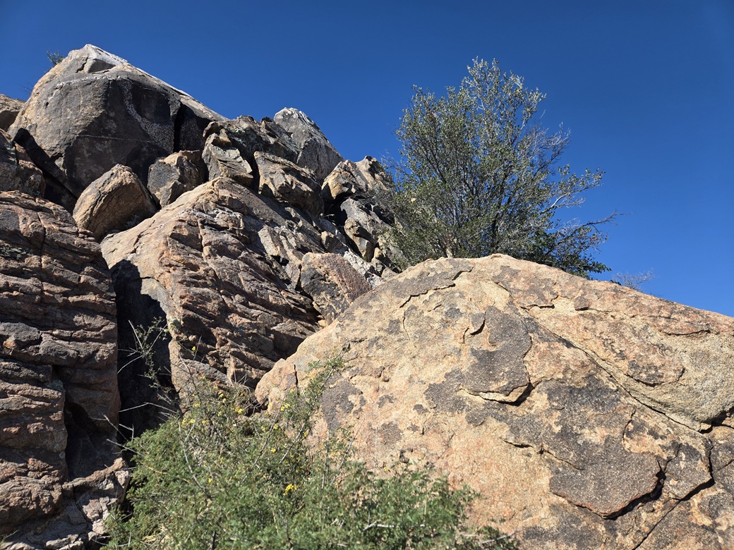
Here is a side view, I went up on the other side of that rock and behind the tree
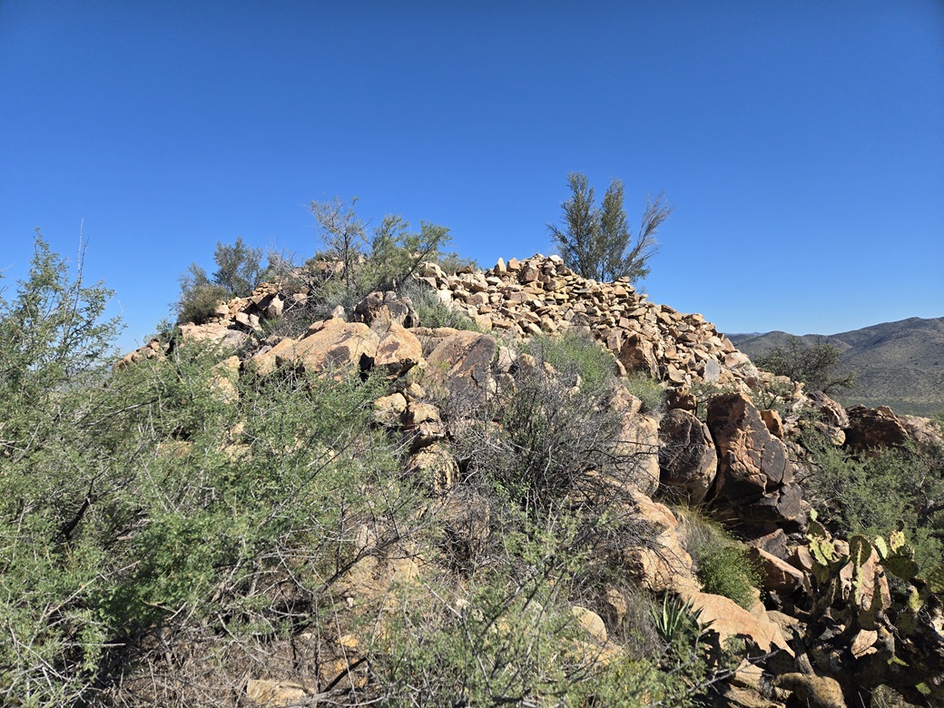
Old Indian battlements surround the area
Arizona Page • Main Page • Trip Report
(c) 2026 Scott Surgent. For entertainment purposes only. This report is not meant to replace maps, compass, gps and other common sense hiking/navigation items. Neither I nor the webhost can be held responsible for unfortunate situations that may arise based on these trip reports. Conditions (physical and legal) change over time! Some of these hikes are major mountaineering or backpacking endeavors that require skill, proper gear, proper fitness and general experience.