
The Mountains of Arizona
www.surgent.net |
|
Black Mountain • Peak 3906 Wagoner Road is a historic road in southwestern Yavapai County, branching off of AZ-89 near Kirkland Junction, a few miles north of Peeples Valley. The road runs over twenty miles southeasterly, mostly paralleling the Hassayampa River. It eventually connects in with some forest roads that lead into Crown King. There was once a town back here called Wagoner. It persisted for a number of years in the early 20th Century. It was both a mining town and a ranch town. The mines played out, but ranching still goes on. The town withered away, and today, nothing of the old town stands. I was here about a month ago, climbing Peak 4935. It was my first time ever on Wagoner Road, and I wanted to get a sense of its condition for later adventures. Then the weather got active. A couple of storms came through over the ensuing two weeks, each time on a Wednesday when I'd be heading up there. So I avoided the area and stayed lower in the deserts, where the temperatures were actually tolerable. I came back today, the weather now stable, cool and dry. I had two peaks in mind, the main one being Black Mountain. It was getting hot again in the deserts, highs about 103°. It would be cooler up higher, but still warm. However, it would be dry, which makes a huge difference.
Date: October 7, 2026
• Elevation: 4,977 feet ✳
• Prominence: 822 feet
• Distance: 6.1 miles
• Time: 2 hours & 30 minutes
• Gain: 1,110 feet
• Conditions: Cool, sunny, warming nicely
• Fighter jets: 1
Arizona
•
Main
•
PB
•
LoJ
I was on the road at 4 a.m. and followed the usual route through Wickenburg and Yarnell with no issues. It was still mostly dark as I passed through Peeples Valley and then onto Wagoner Road. The sky was backlit by the rising sun looking east.
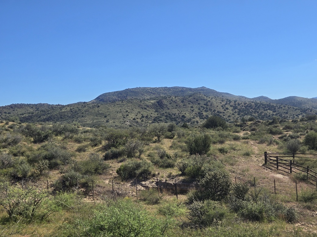
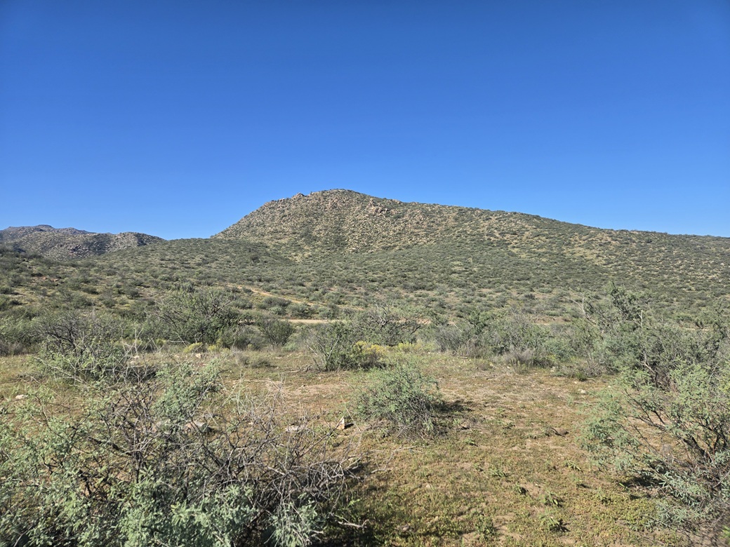
I drove about 8 miles to the T K Bar Ranch. Black Mountain rises to the east, a big sprawling mountain with long gentle slopes. The Prescott National Forest is less than a mile east of the peak. I was in an area that was a mix of private and State Trust Land.
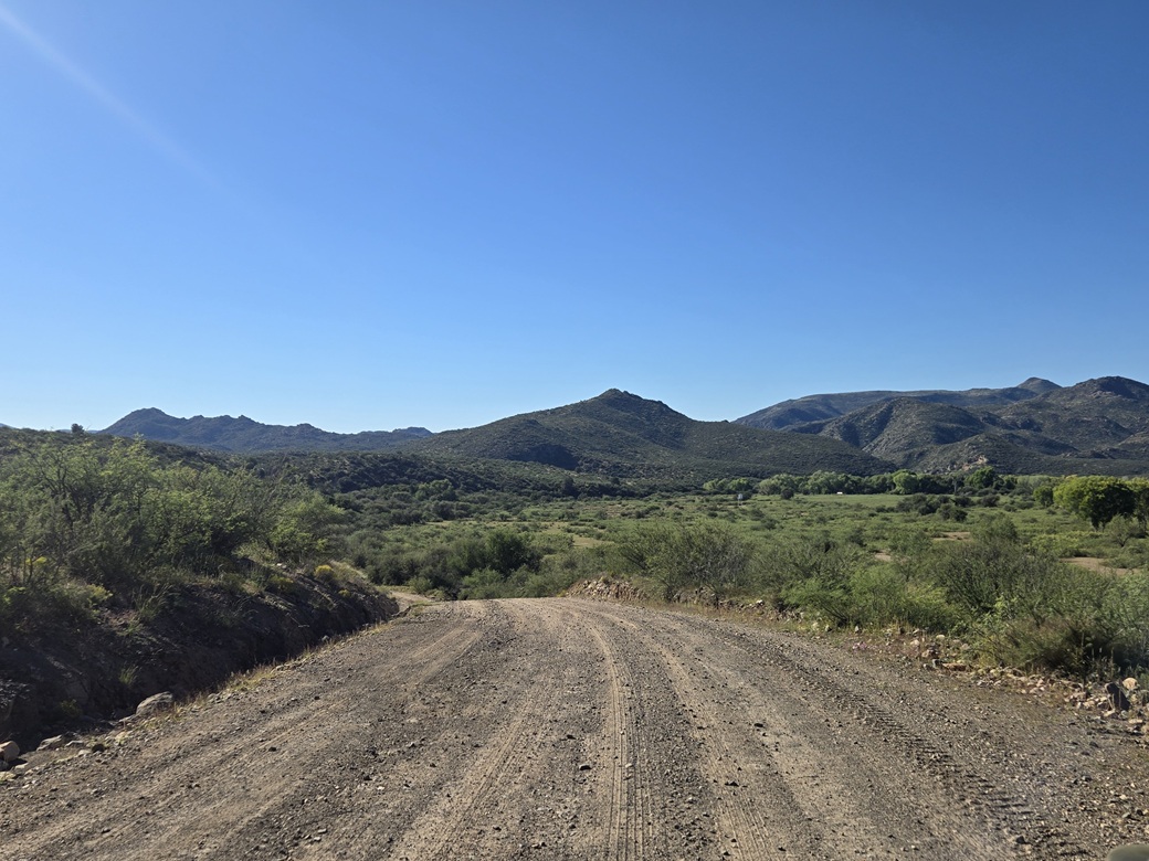
Near the main ranch buildings, I eased onto Crooks Canyon Road. This road heads east and into the Prescott National Forest, becoming FR-94. It was not posted nor gated. The road is wide and well-maintained. I only went in a couple miles, to a sharp bend in the road near a gate that blocks a side track heading south.
The road was a good road, but it had some sandy segments, especially where it crossed into and out of the creek. In dry conditions, it wasn't a problem for the Subaru, but in wet conditions, it could be trouble. It was smart of me not to come here while it was stormy.
I did not want to park at the gate itself, so I retreated up about a quarter mile and stuffed the car onto a small cleared area surrounded by brush and low trees, mainly mesquite. I put my State Lands placard in the window, although I think this immediate area is private.
It was still early in the morning and in heavy shadow. I started walking about 6:20 a.m., the temperature in the low 60s. I walked to the gate and shimmied under it. The track behind it passes a water gauge of some sort, then moments later, an earthen tank. Afterwards, it continues south up the narrow canyon.
The map shows a track that runs most of the way up the peak, and it appears on satellite images. Once on it, it was obvious it never gets driven any more and is being left to revert to nature. At first, it was easy to follow, although the tread was rocky and brushy, not the best terrain for making good time.
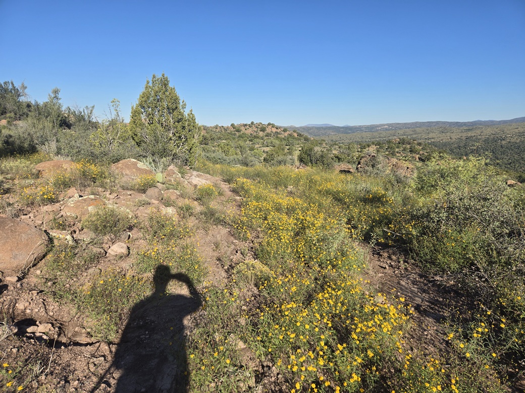
The track gains steeply up the canyon, then angles left and over a small pass, then starts a general southeasterly track. It was becoming less distinct by the foot. Brush, grass and wildflowers grew in its tread. Often, the only hint of this being a road was the presence of berms of rocks piled up by the road grader, probably before I was born.
The next mile-plus, I tried to keep to the track as best as I could. It would be kind-of distinct for about a hundred feet, then I'd lose it and have to guess. I always found it again, although at times I was uncertain if I was on the actual track or just dreaming it.
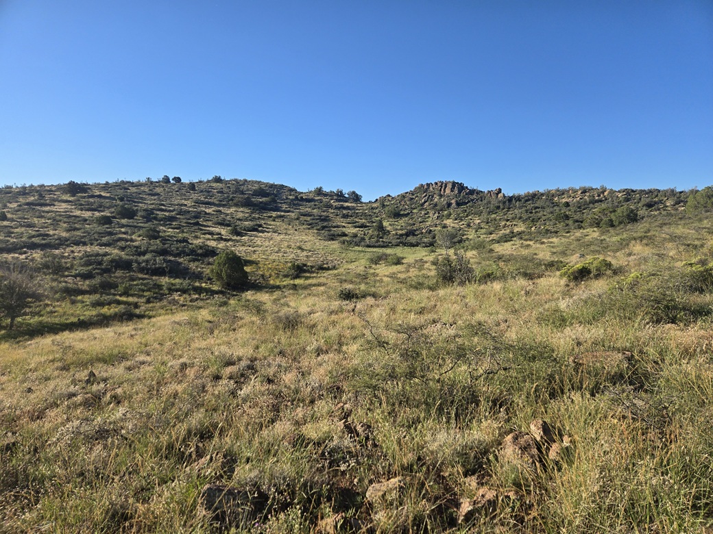
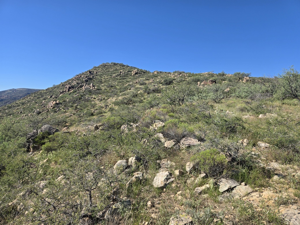
In any case, navigation wasn't difficult. There is no forest to speak of up here, mostly grass and brush, and lower trees like mesquite. It was easy to see my way and to see the "summit", which was actually hidden until almost the very end.
I eventually got myself onto a high saddle just below the highpoint. By now, I was hiking cross-country 90% of the time. The grass was heavy and dense, and I put on my snake gaiters to be safe.
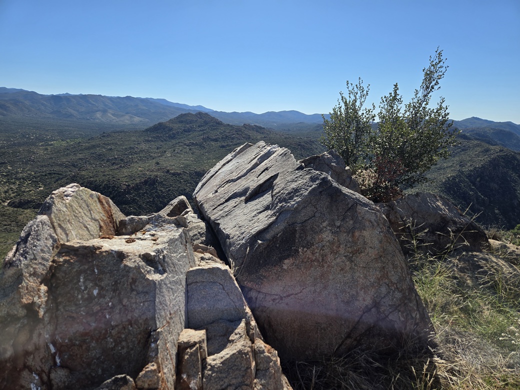
I aimed for the high ground, going up one hill, then angling over to the higher hill, bypassing an interesting rocky dike formation along the way. And soon, I was on top of Black Mountain.
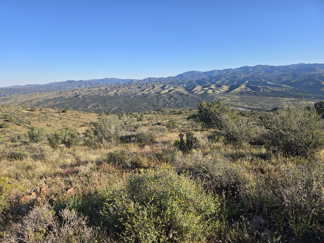
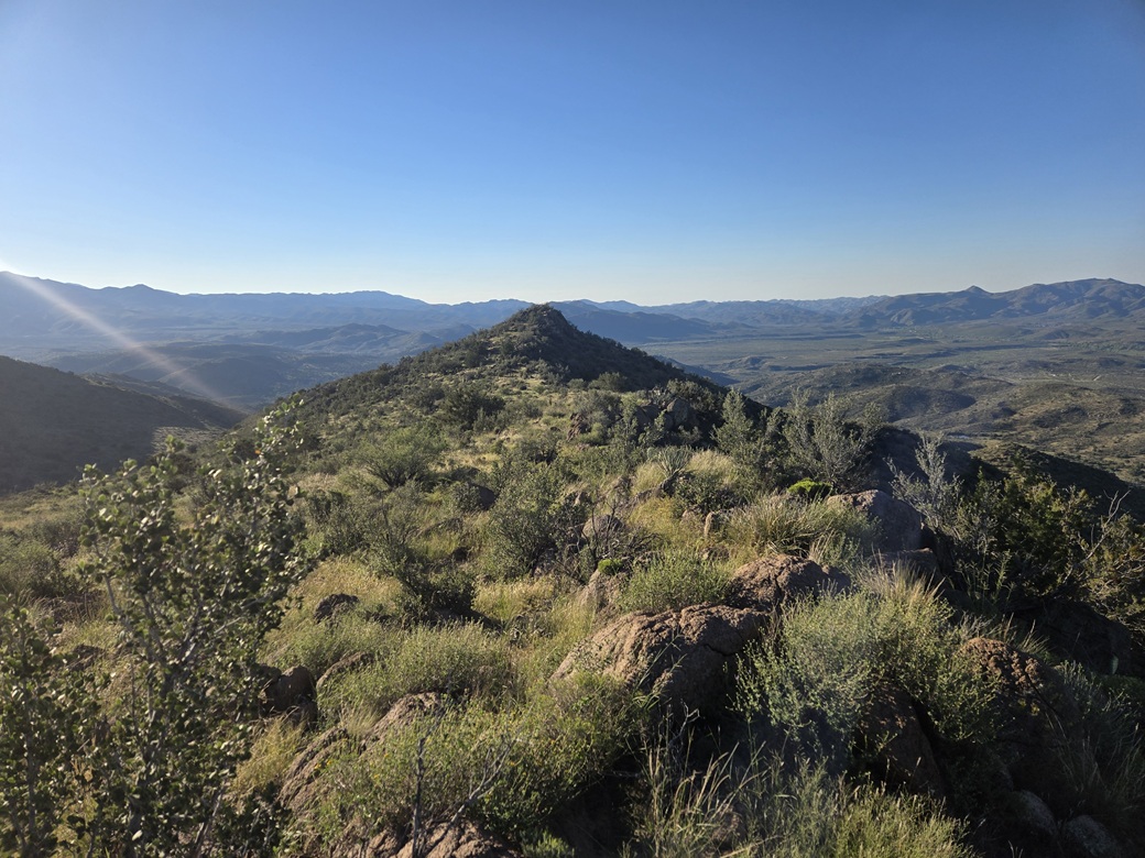
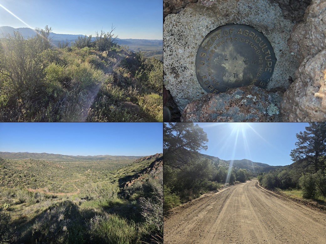
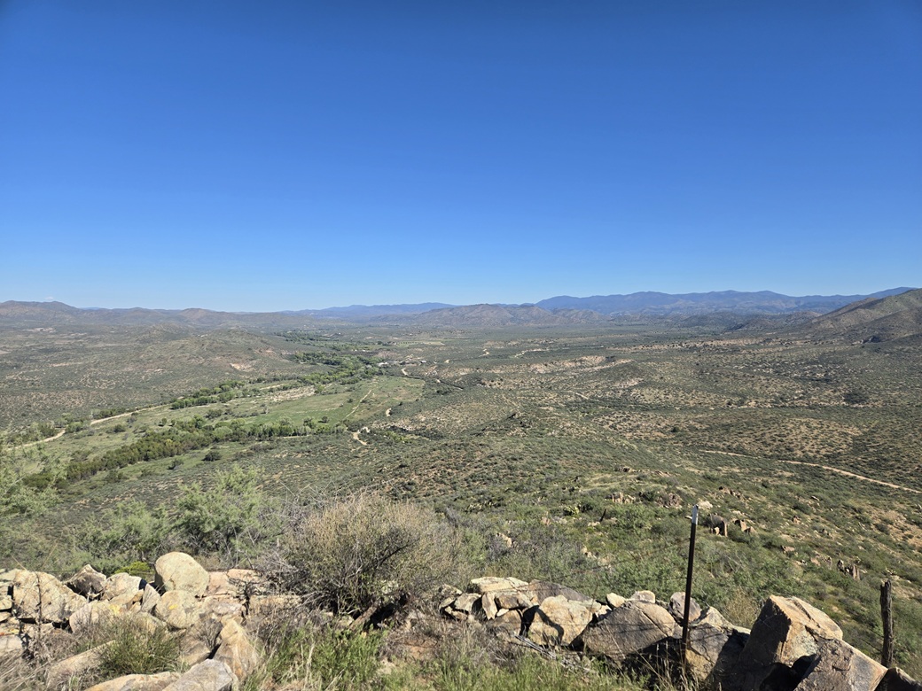
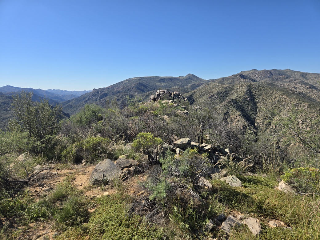
The one-way hike took a shade over 3 miles and about an hour and twenty minutes. I made decent time in spite of the road and its brush and rocks. The summit was ... brushy and rocky, but open with excellent views. I found the benchmark in the summit cairn, and signed myself into the register.
To the south along the ridge is a rocky point, but I already knew that Lidar had affirmed where I stood was the highest point by about 2 feet. I really had no desire to hike that extra distance.
I spent about five minutes up top, having a very short break and snapping images. Going down, I got back to the track easily enough, then followed it, then lost it. I decided to just keep going in the direction I was going. I dropped down a very grassy slope with big rocks, but within five minutes, had re-met with the track.
I did my best to stay on the track, but even so, I lost it a couple times. As I dropped elevation, the track started to become more distinct, very gradually. The hike out took about the same amount of time.
I was back to my car a little before 9 a.m.. It did not appear anyone had come by, no new tire tracks in the road. Even my bootprints from earlier were still there. I was tired but feeling good. I started the drive out back to the main Wagoner Road.
One neat event while on the hike was hearing a loud rumble, then seeing a fighter jet come roaring through the low hills east of the peak. Dang they are loud. I did not know they used this area for training. He could not have been more than a couple hundred feet above the ground.
Elevation: 3,906 feet ✳
• Prominence: 414 feet
• Distance: 1.3 miles
• Time: 90 minutes
• Gain: 410 feet
• Conditions: Very warm and sunny
PB
•
LoJ
Back on Wagoner Road, I headed southbound for another nine miles. Peak 3906 appears toward the end, a pointy-shaped peak covered in low brush and rocks. The road was in fine shape. I drove past milepost 18, where the road turns away from the Hassayampa River and gains elevation.
I drove until I was east of the peak and parked in a clearing. There is a track that branches south from the main road, but it was too rough for the Subaru. It was warmer now, in the high 70s, but still clear and dry. The drive had taken about 20 minutes.
From this side, the peak has a triangular shape with a long gentle north ridge, and obvious rock outcrops everywhere, including the summit. There is a crag on what appears to be just below the highpoint. At first, it didn't register with me as being important.
I was almost a thousand feet lower in elevation here, and the brush and grass were more desert-like. This was actually good news as the grass wouldn't be so high and tangly as it was on Black Mountain, and there would be more lanes.
I walked directly toward a lowpoint on the north ridge, and it went well. There was always a lane to follow and the terrain was friendly. Higher up, it steepened to where the rocks would slide, but it wasn't bad. I was soon on the main ridge.
Turning left, I proceeded upward, still following lanes through the brush. I had to step over one fence higher up, and nearing the top, the brush and grass got thicker. I arrived on the top after about 35 minutes.
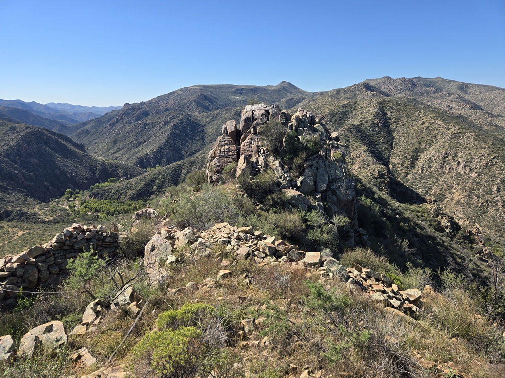
It was a typical summit ridge that ran a hundred or so feet with some rock outcrops and brush. Only when I walked about halfway along it did I see a surprise: that crag. From below, it looked like it was lower, but from here, it was obviously the highpoint.
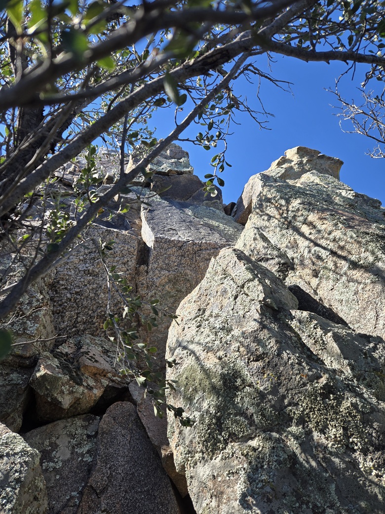
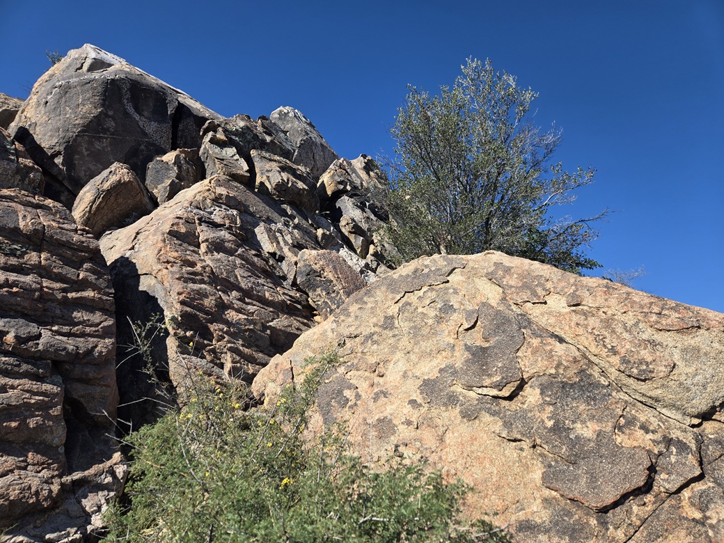
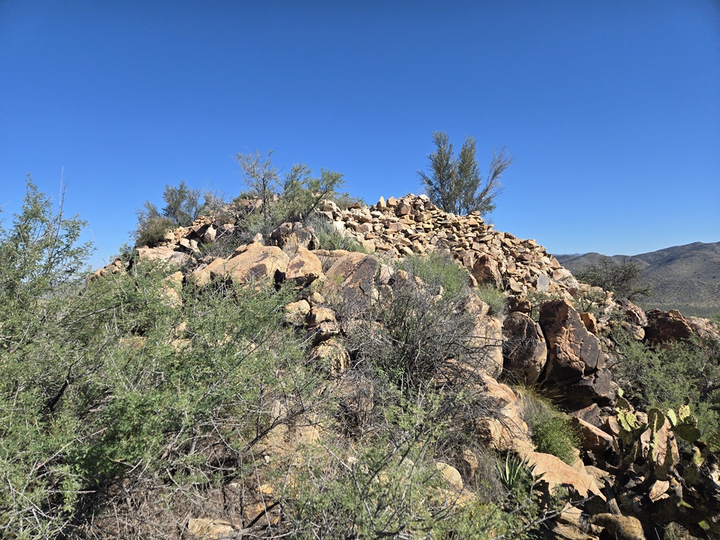
I walked to where the summit ridge ended, and viewed the crag from up close. It rose about 25 feet and was a pile of big slabby boulders with brush and small trees in its voids. I was looking at about twenty feet down to the small saddle below. And to my further surprise, there were rock battlements here from the ancient Indians.
I sidled downhill then got up close to the rocks to study it. One option becomes clear as being the best option. Nevertheless, I gave the whole thing a look. I even considered dropping downslope and bypassing the crag, but that would mean some scrambling also. So it made sense to just deal with the crag's rocks directly.
I scampered as far up as I could until I was at the base of the scrambling section. I removed my pack and set aside my poles. I studied every hold to make sure they were solid. The holds were plentiful and strong. The main issue was that I would have to do about three moves in a row to "stick it". I spent a couple minutes choreographing my hands and feet.
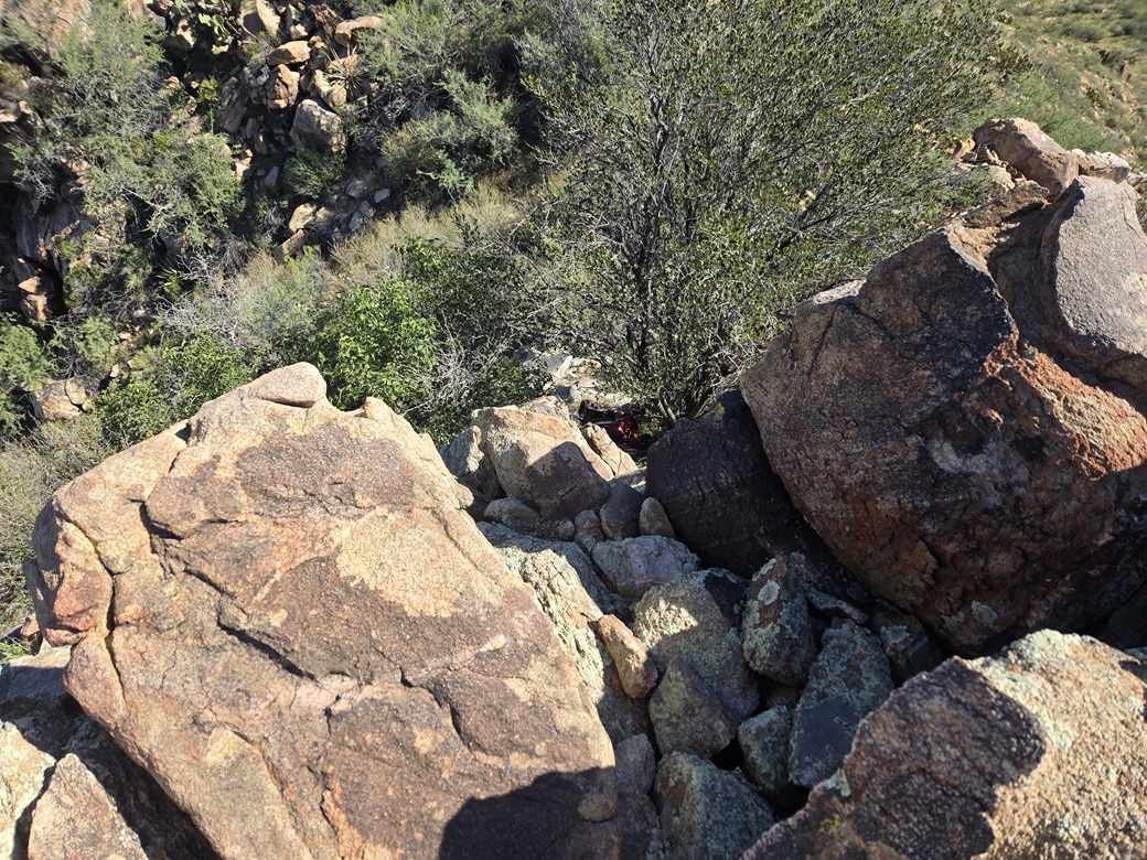
The moves went fast, once I committed to it. There was one awkward maneuver where I had to switch feet while holding onto a higher hold, all this with about ten feet of exposure. And that was it. The actual move took all of five seconds. I hustled up the thing and tagged the highest rock.
It appears that there may be ways down this crag if I went down its opposite side and I even considered it, but that would mean having to drop below the crag back to where I stashed my pack and poles. I gave up that idea after two seconds.
Going down that section was fast, but that foot-maneuver slowed me. It was a case where I started by facing outward, than had to turn inward and blindly reach down with one foot and hope I'd step on a rock. It worked, and I was down quickly.
This was a fun scramble and one that I was not expecting, and I was quite heppy to do it and make this a summit that had to be earned. I'd rate the ten or so feet of scrambling as solid Class 3 with excellent holds but with exposure.
I scooted back up through the battlement walls to the first summit. I never did find a register or cairn, and Lists of John shows only two previous visitors, in 2006 and 2014.
I started right down, only stopping for a water break at the base of the ridge where I'd drop off it toward my car. The round trip took 90 minutes and by now it was very warm, mid-80s. I peeled off my sweaty clothing and changed into shorts and a t-shirt. It was barely 11 a.m., but I was done, and very pleased with the two peaks and especially with the extra spice this last one added.
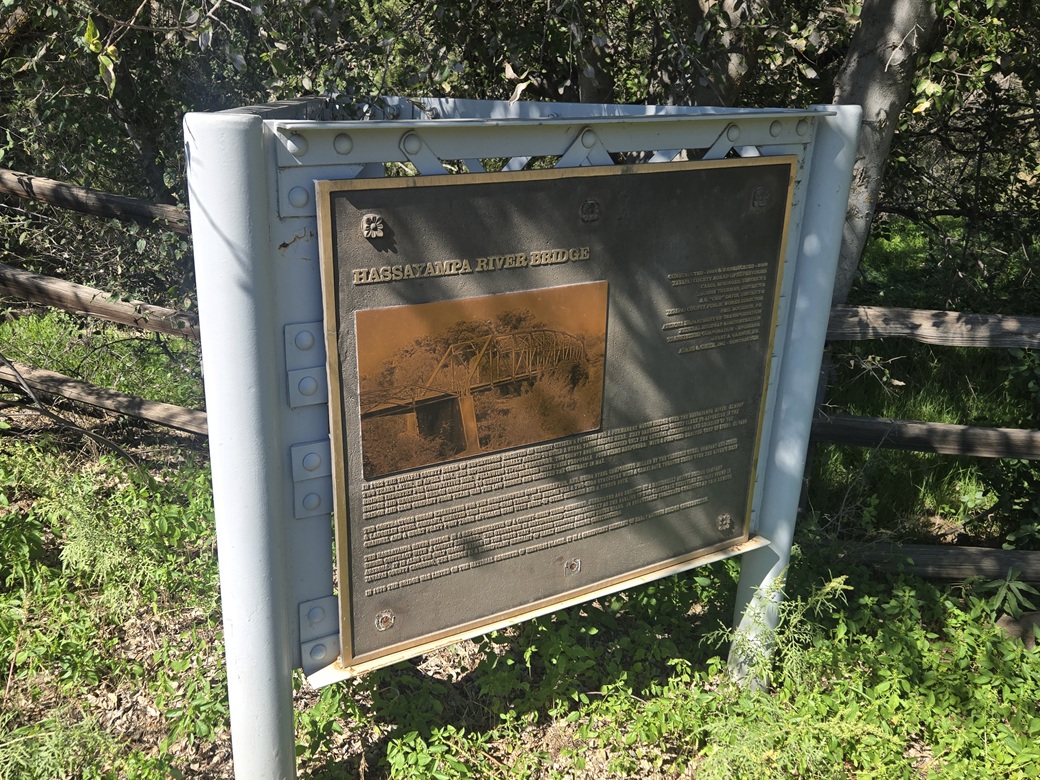
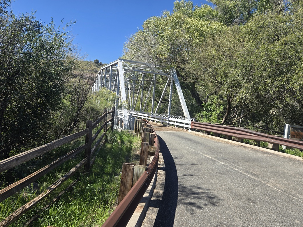
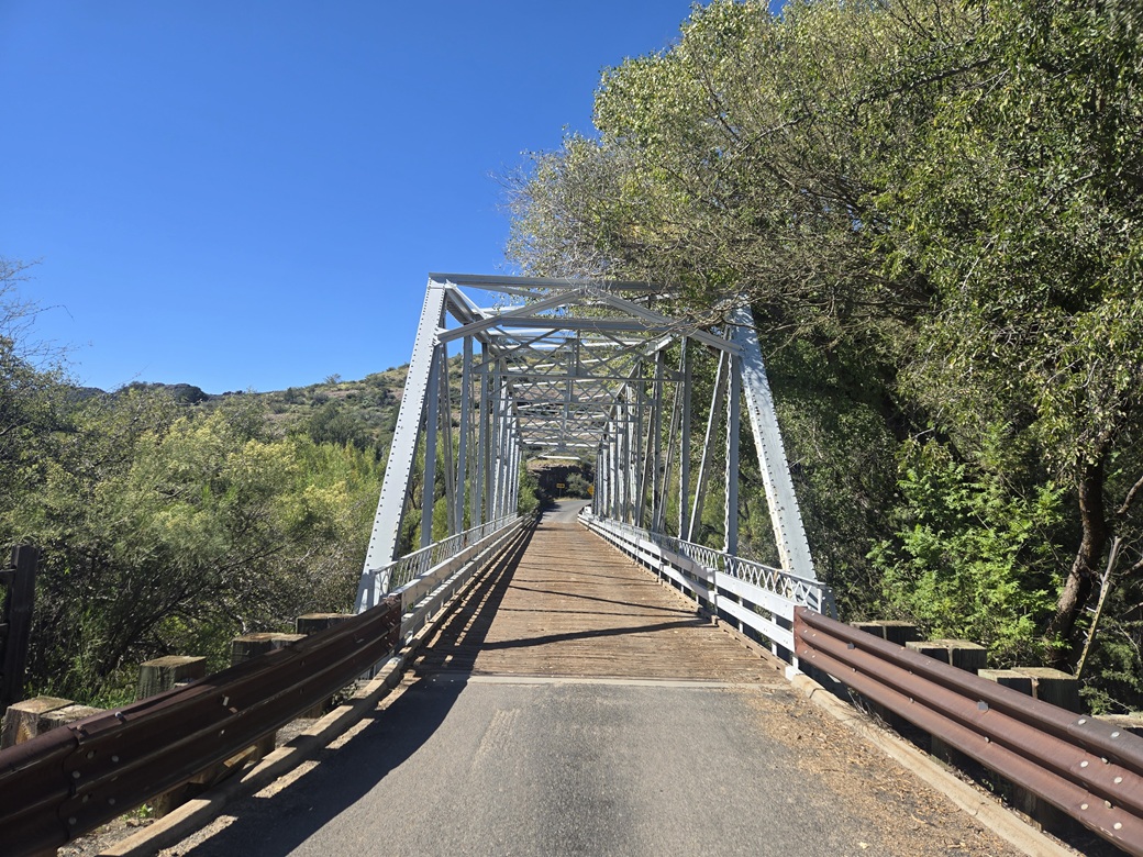
I retraced my drive north on Wagoner Road. When I got near the Hassayampa River Bridge, I stopped to take a look and snap a couple images. This bridge is at about the 8.5-mile mark. When I was here this morning, it was still too dark to see anything. The bridge is a single-lane truss bridge with a wooden tread. It was built about a hundred years ago (between 1924-29) and has just enough rust and wear to make it look historic. The Hassayampa River normally is dry (the river is mostly underground), but it can flood at times. Mature big trees such as cottonwoods lined the river channel and abutted against the bridge. I spent maybe three minutes here.
From here I just got busy driving back to the big city. I did not stop until I was back to the Carefree Highway-Interstate-17 interchange, where I had a drink and a snack in a Starbucks inside a grocery store. It was much warmer now, in the mid-90s. I enjoy that area and plan to return to Wagoner Road some time in the future. There are still a few more peaks that interest me, but it may be awhile until I come back, maybe a year from now.
| |


|