
The Mountains of Arizona
• www.surgent.net
|
| Peak 2080 |
• Big Horn Mountains • Bureau of Land Management • Maricopa County |
|
Date: October 19, 2026
• Elevation: 2,080 feet ✳
• Prominence: 342 feet
• Distance: 2 miles
• Time: 1 hour
• Gain: 430 feet
• Conditions: Sunny and very warm
Arizona
•
Main
•
PB
•
LoJ
This is a completely anonymous peak located way out in the western hinterlands of Maricopa County, along Eagle Eye Road a few miles north of Salome Highway. It is part of the Big Horn Mountain Range.
I was returning to the Phoenix area after a weekend in California. I started today in Blythe (CA), then hiked Bear Mountain East in La Paz County. Done with that peak by 10 a.m., I headed northwest along US-60 with a faint plan to hike something by Congress or Wickenburg.
I rolled into the little town of Aguila and parked at a Union-76 gas station and got a snack and cold drink, then sat there awhile, looking at my device. I wasn't so interested in going up to Wickenburg. It was much warmer, into the low-mid 80s now.
If I was going to do any more hiking, I wanted a peak that was short, uncomplicated and close to a road. I saw this guy. Its contours suggested it was a volcanic mound with long gentle slopes. A dirt track seemed to get close. I decided to go check it out. It would be an excuse to scout peaks along Eagle Eye Road.
From Aguila, I got onto Eagle Eye Road and drove south, taking my time and eyeballing a bunch of craggy summits right along the road, lining Tiger Wash. This gave me some ideas for a future colder visit.
The road straightens again and heads south. I was looking for a track heading east near Desert Tank. I found it very near milepost 4. I went in, and the track seemed solid at first.
I came to Desert Tank and two guys hitching horses into a horse-trailer. They were getting ready to leave. I asked if it was okay to drive in, they said it was fine. The land here is all BLM (public) but I thought I'd ask out of courtesy.
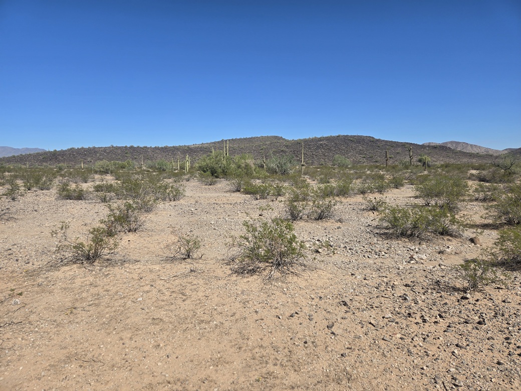
Beyond the tank, the road continued. It stayed "pretty good". A few times it got rocky but never too bad as long as I went slowly. The peak I was interested in was visible ahead, along with two others nearby. I was looking at a little over two miles to get close to the peaks.
To my relief and with some happiness, the road never deteriorated. I was able to get to within a mile of the peak, parking in the open on an elevated bluff. This went much better than I planned.
It was very warm now, about 85°. I was already dressed so I just shouldered my pack, got my poles, locked the car and started walking.
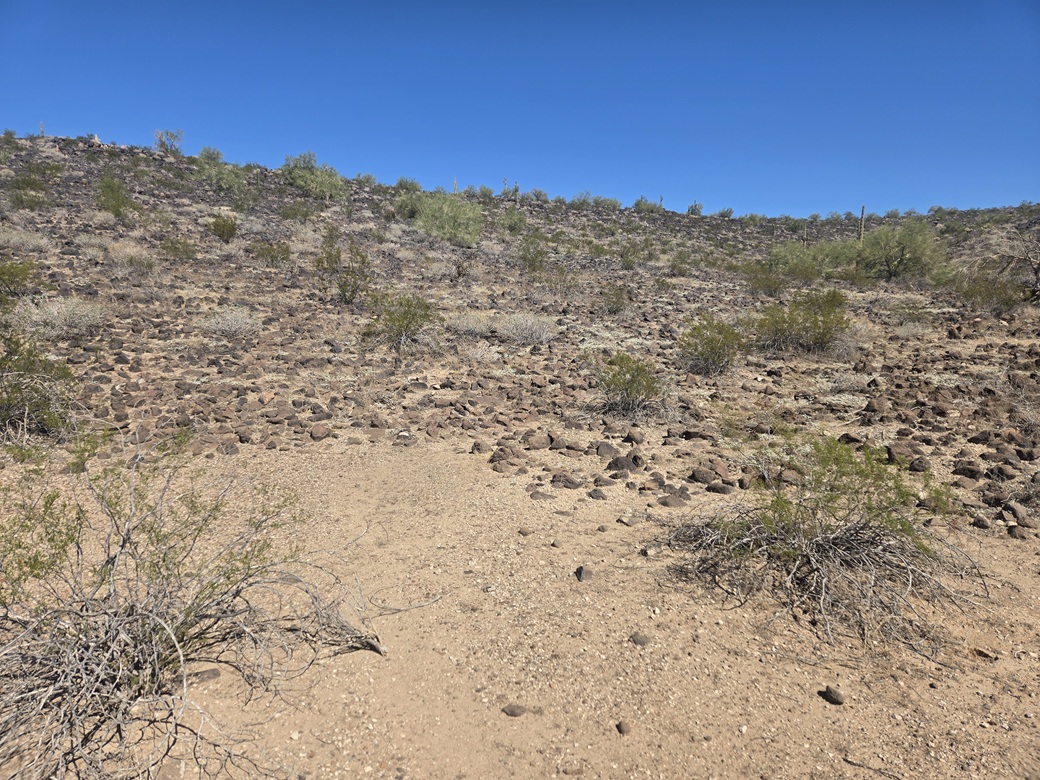
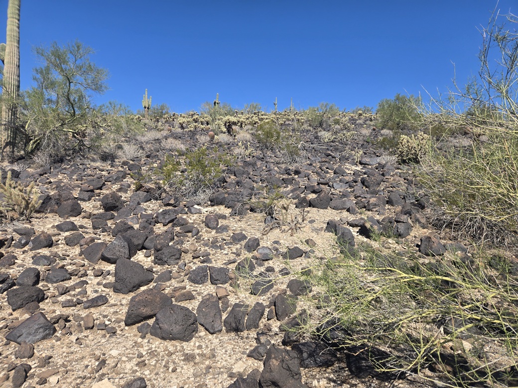
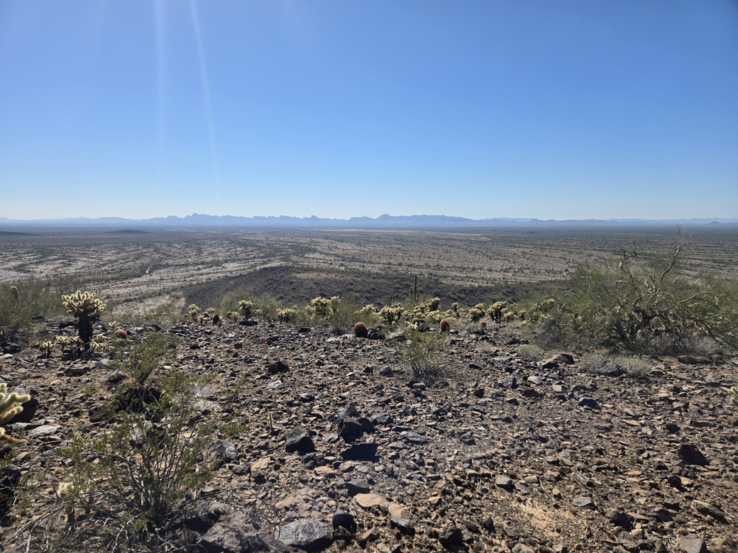
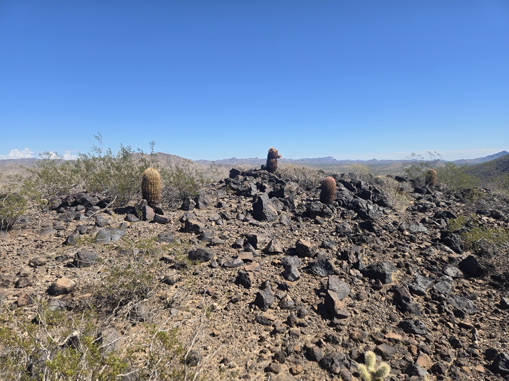
I aimed north toward the peak. The desert walk was easy, the brush spaced out except at a couple arroyo crossings. In about ten minutes I was at the base of the mountain. It is composed of blackened volcanic boulders, just as I suspected.
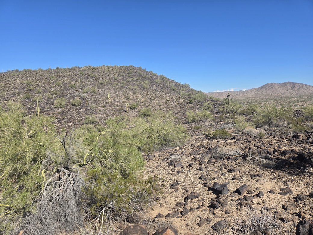
I got onto the slope and the rocks and just plodded upward, the grade being very lenient. I got to a ridge and then could see the highpoint, still a ways up ahead. I walked along the ridge to a lowpoint, then started up the final slope.
This slope was a tad steeper but still very gentle. The challenge now was the abundant cholla. I had to weave to get around them, and still caught a couple cholla balls on my clothing.
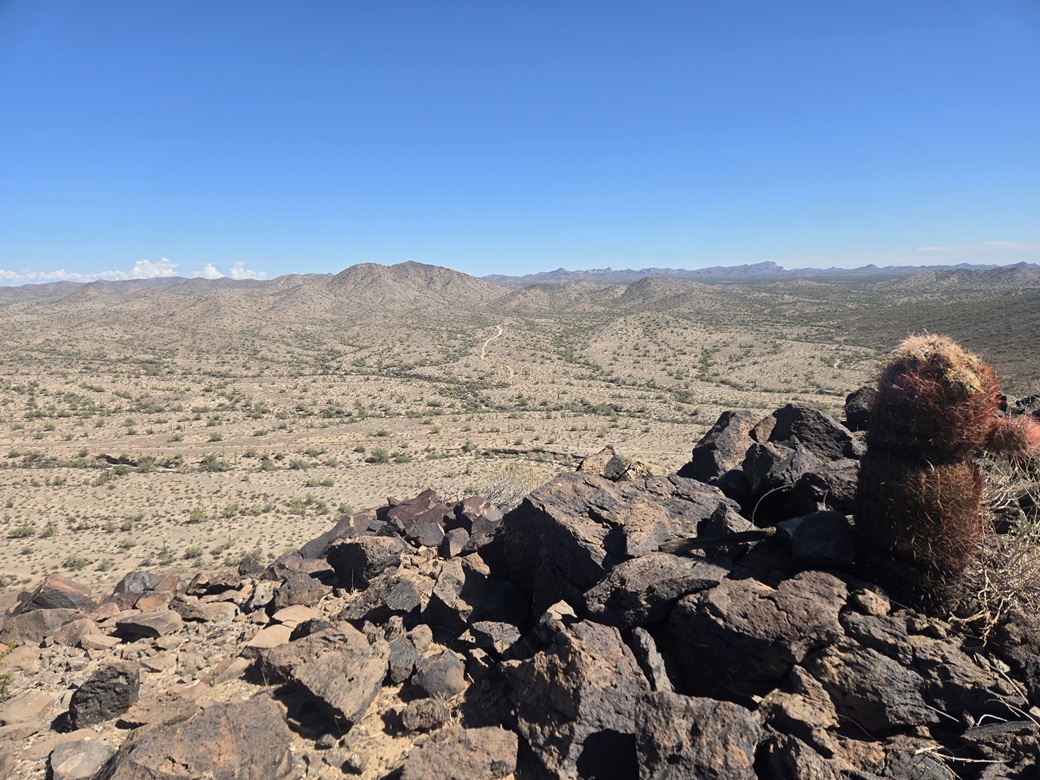
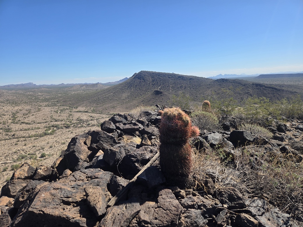
But this was short and I was soon on top, a one-way hike of about a mile in thirty minutes. The views were pretty good, showing a lot of nameless peaks in the general area. The biggest peak nearby would be Harquahala Mountain to the northwest.
I spent about five minutes up top looking around. I found a register and signed in, another peak that sees very few visitors. The hike down went well, too, just retracing my route. I found my car with no problems. The round trip took roughly an hour.
This peak wasn't anything special but I now have some very good ideas for more peaks in the area, now knowing the roads are pretty decent. This was an area I have never been to, never scouted, so doing this as I did was good. I got a bonus peak out of the effort.
Back on Eagle Eye Road, I followed it to Salome Highway, taking it east to Interstate-10. Salome Highway is famous for cattle on the road, and they have painted "Watch for Cattle" in the road about every half mile. But the words are arranged bottom up, so it looks like "Cattle for Watch". The highway is grooved as well to get one's attention and that gets annoying after the 43rd time.
Once on Interstate-10, I joined the race into Phoenix, then getting myself into Scottsdale where I checked into my cheap hotel, showered and napped.
The next few days would be rainy ones, so I wouldn't do any hiking. Which was just as well as I had some things to do on campus. I was happy today went well.
|

|