
The Mountains of Arizona
• surgent.net
|
| Bear Hills East Peak |
• Bear Hills • Bureau of Land Management • La Paz County |
|
Date: October 19, 2026
• Elevation: 1,877 feet ✳
• Prominence: 487 feet
• Distance: 4.6 miles
• Time: 3 hours
• Gain: 600 feet
• Conditions: Sunny and dry
Arizona
•
Main
•
PB
•
LoJ
I started the day in Blythe, California, after a weekend in Southern California visiting family and friends and climbing a few peaks, starting with this one then that one on Friday, and then three more yesterday.
I had a whole day to get back to the Phoenix area, so I looked for a few peaks in this western part of the state to do, a part of the state I rarely get to any more. I zeroed in on this peak, one of three ranked peaks in the Bear Hills, where highway US-60 branches off of Interstate-10. I climbed the Bear Hills Highpoint almost seven years ago.
I was up early, on the road just as dawn was breaking. A half hour later, I left the interstate onto US-60, entering the town of Brenda moments later. The Bear Hills rise on either side of US-60. The peak I wanted was the eastern of the three peaks.
The sun was now up and exactly in my eyes as I drove east. I was looking for some place to park and stash the car. The peak rises a little over a mile south of the highway, and the land is almost all BLM (public) land. Nevertheless, I don't like leaving my car parked alongside a major highway. I ended up backtracking to near where Avenue 42-East meets the highway, near the Gateway Ranch RV Resort.
Across the highway is a meager track, so I followed it. It paralleled the fencing for about a quarter mile, then went through a gate. I manhandled the gate open and drove in, then manhandled the darn thing closed again. I was about a hundred feet off the highway and kind of hidden by low trees. Anyone looking to do my car harm would have to deal with that gate first.
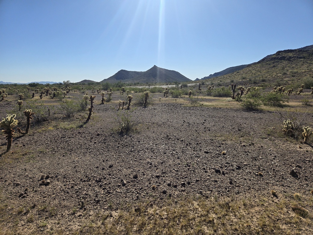
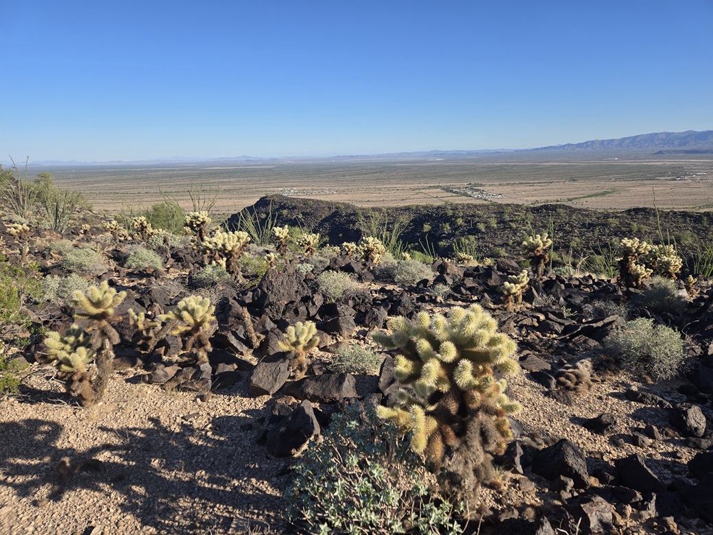
I was about two miles on a straight line from the peak. I started walking a little after 7 a.m., the day sunny and clear, and cool for now although it would warm up later on. I followed the track at first, then took off on a direct line toward the peak. The overland trekking wasn't difficult. The ground was mostly open, rocky desert gravel and a few easy arroyo crossings. The brush in places could be heavy, though.
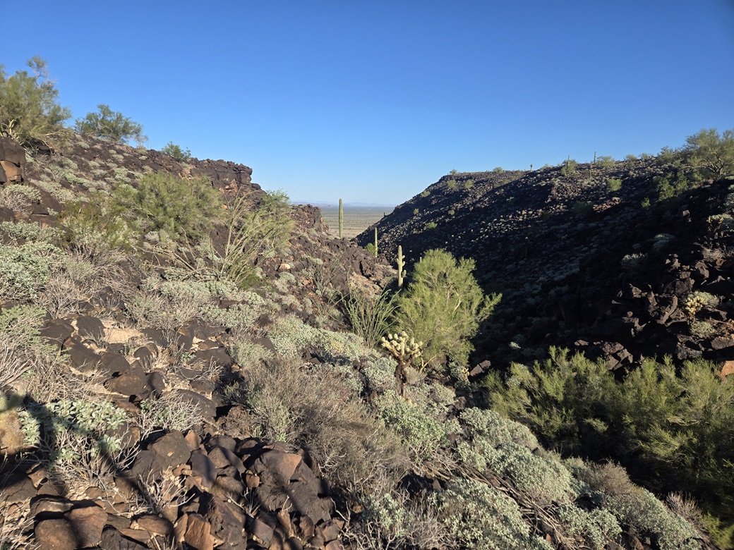
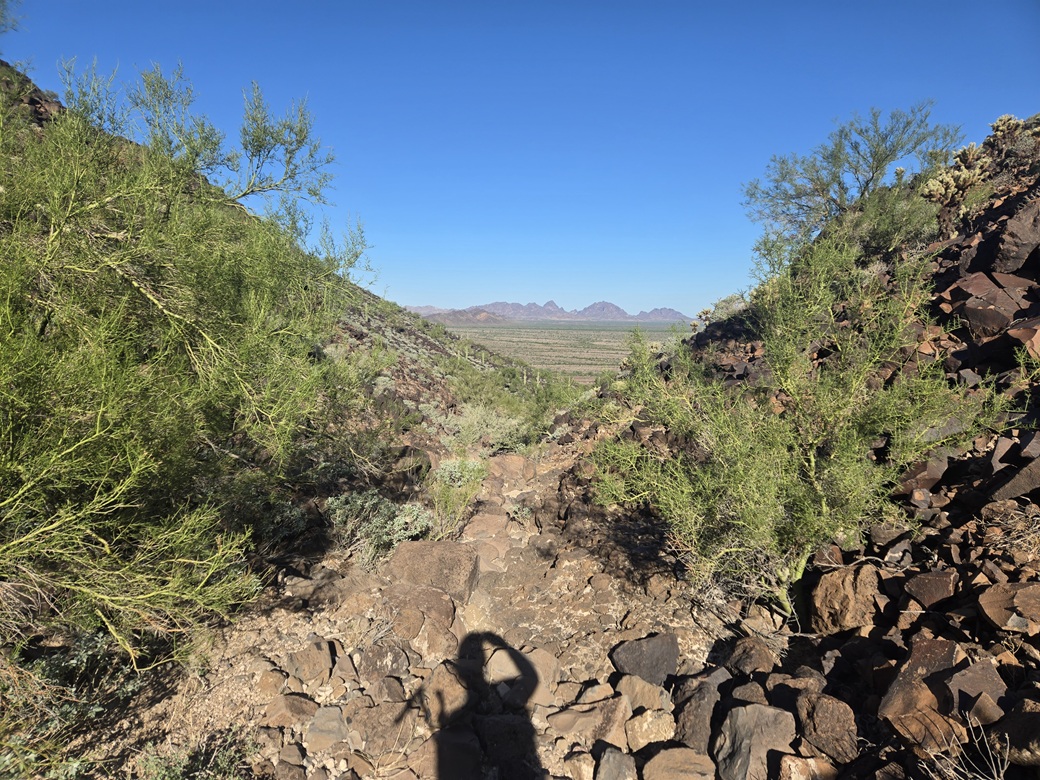
In about a half hour I was closing in on the peak. From a distance and up close, it has two distinct summits. The highpoint is on the right-most one (west). There is a gully-canyon cleaving the peak into two halves. The topographical map makes the peak look like a molar, with its two root parts attached.
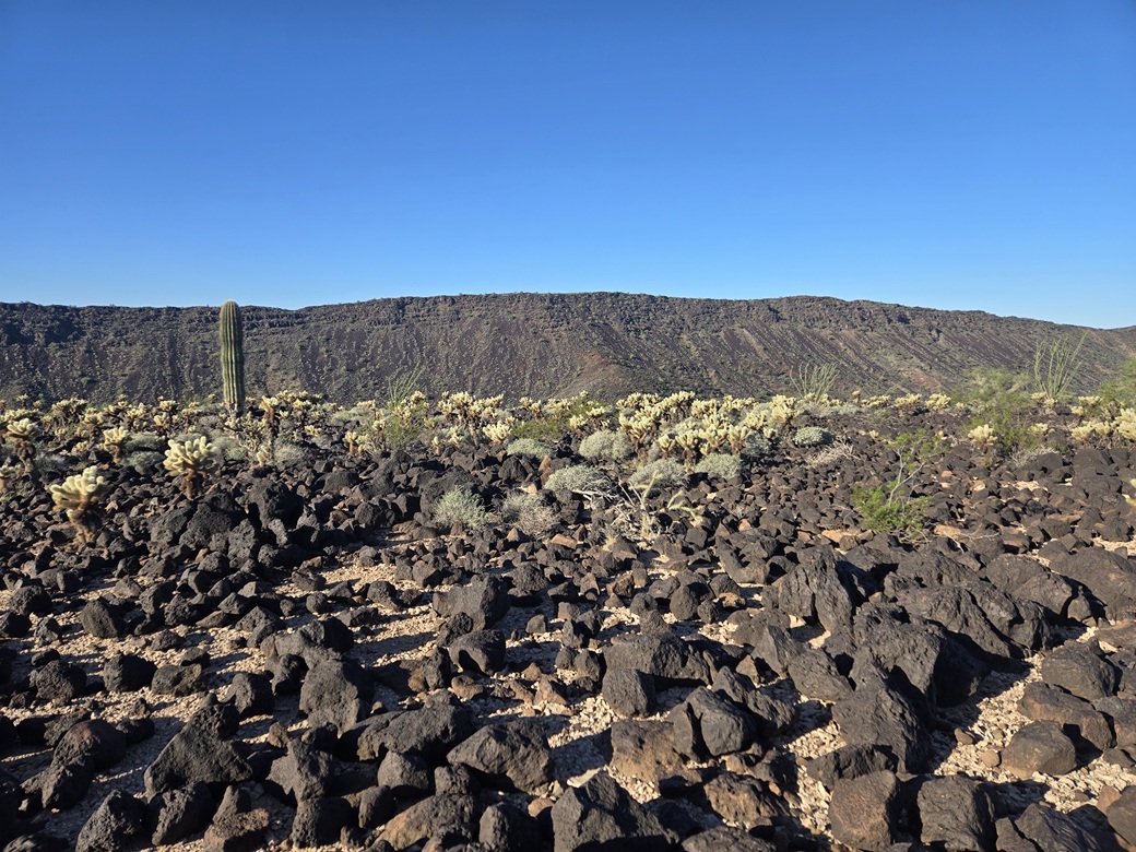
I aimed for the gully. The slope became rockier and slightly steeper. I entered into this gully, then spent the next half hour battling rocks and brush. It was just a random heap of big black volcanic boulders piled every which way, and palo verde trees and cactus in all the nooks. It wasn't difficult, just slow and pointy.
I kept at this until I was sufficiently far up in this gully to begin thinking about ascending out of it. I really had no sense where I was relative to the summit. I knew I was higher up now, so that any such ascent would entail maybe 200 vertical feet at most. When it felt right, I picked a slope and started up.
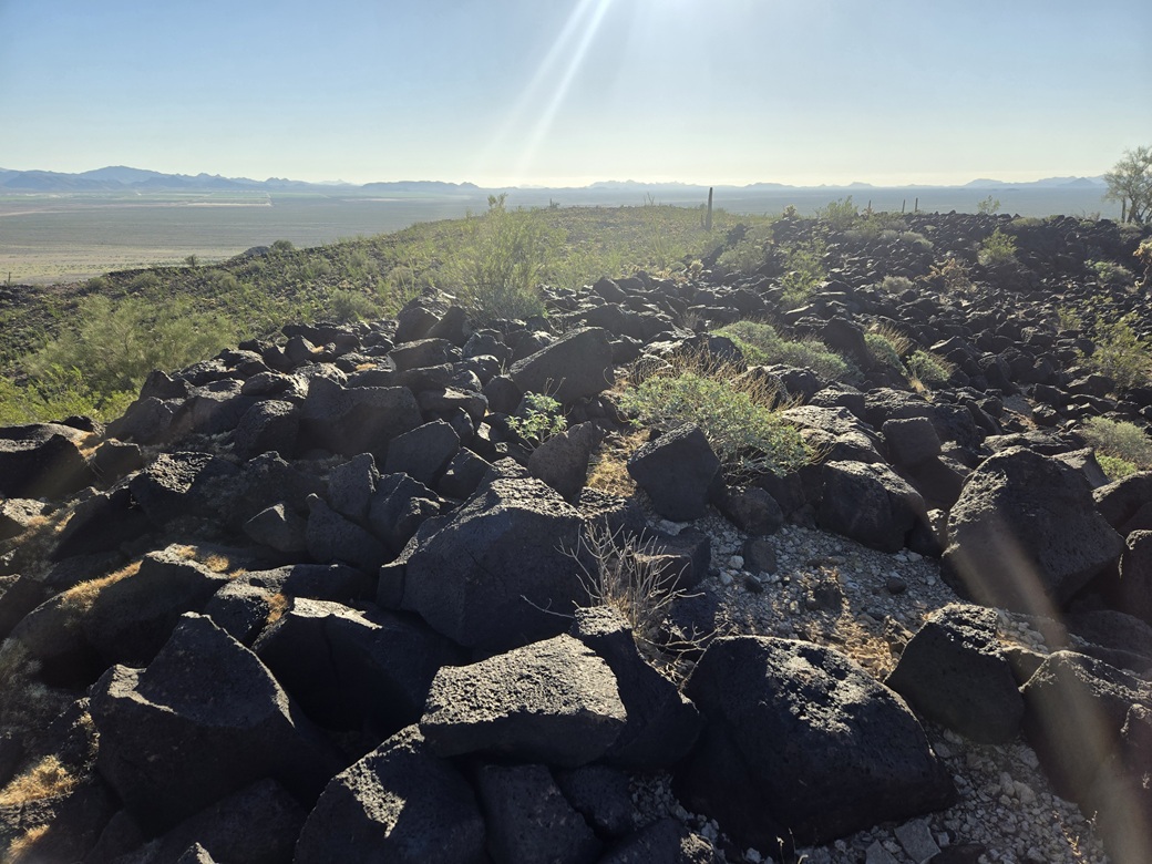
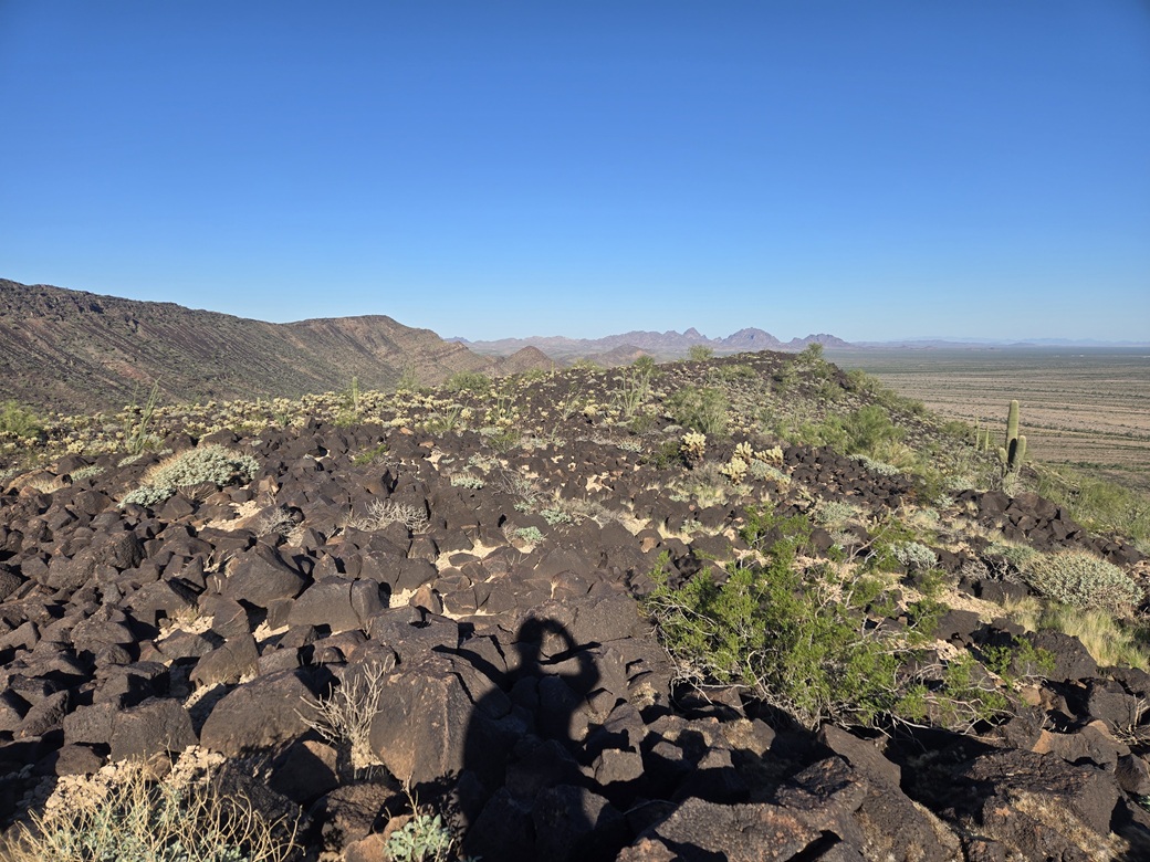
The slope was just a cascade of volcanic boulders. It was steep but they generally stayed in place. The grade then lessened. I generally angled up and to the left. The brush and cactus wasn't too bad. In about ten minutes, I had achieved a ridge.
The highest rocks were to my left (south), and I soon came upon them. I found a rotted register within a cairn. The papers were soggy mush, so I put one of my own in, signed it and closed it up. It might be ten years before the next visitor here. A rise to the north looked as high, but is a few feet lower. It had taken me 90 minutes to get here.
The views were good. Bear Hills Highpoint rises like a big ridge to the west. To the north were peaks by the Harcuvars, the Harquahalas and in and around Salome. To the south were numerous peaks, most of them I don't know by name. I spent about ten minutes up here, enjoying the break and quiet, and the pleasant weather.
Going down, I tried to descend the same slope as I had taken up. The footing was good but I had to be careful. I was then back into the gully, which I just slowly walked out until I was back into the open. The rest of the walk out went quickly. I could see my car from a mile, but I never seemed to get closer to it.
The outbound walk took a little under 90 minutes. There is just no way to move quickly through the gully's rocky jumbles. It was about 10 a.m. when I was back to my car. The hike had gone well and I enjoyed it. This is not a popular peak. I was the first person here since 2014 according to Lists of John. Prior to that guy, the previous visitors were here in 2001.
So now what to do. I had some peaks in mind up by Congress, so I headed that way along US-60. I had no desire to get back on Interstate-10. I got into the little town of Aguila and parked at a 76 gas station, and got out my device. Those peaks by Congress and Wickenburg suddenly did not interest me. It was very warm now, mid 80s.
I decided to go for an exploratory drive and inspect some peaks south of here, along Eagle Eye Road near where it meets Salome Highway. I found one easy-looking peak that I might do in this warmth if the roads were drivable. After a snack, I headed south on Eagle Eye Road, where I was lucky and able to climb Peak 2080.
|

|