
The Mountains of California
www.surgent.net |
| Murray Hill |
• San Jacinto Mountains • City of Palm Springs • Riverside County |
|
Date: October 16, 2026
• Elevation: 2,227 feet
• Prominence: 641 feet
• Distance: 7.2 miles
• Time: 3 hours
• Gain: 1,725 feet
• Conditions: Warm and sunny with a breeze
California
•
Main
•
PB
•
LoJ
Murray Hill is a peak in the lower foothills of the San Jacinto Mountains. Nevertheless, it is a worthy summit, more a "peak" than a "hill". The whole area is crossed by many trails and it is a popular hiking and mountain-biking location. The peak lies within Palm Springs city limits as well as the Santa Rosa and Mount San Jacinto National Monument.
I was heading to Los Angeles this weekend for an important family matter. This would be my first time anywhere near the region since early January of 2020. After my class ended on Thursday, I piled into my car and headed west. A little over three hours and 200 miles later, I exited Interstate-10 at Chiriaco Summit.
It was close to 11 p.m. by now. Chiriaco Summit is a gas station and minimart, with a small RV campground, a museum for Gen. Patton and the Desert Warfare program of World War II, and a meager BLM campground for us slobs without an RV.
The BLM campground is north of the buildings. I found it by guessing, but it was easy to get to. I rolled in and found an open spot, and backed in. It's a dry campground, with no amenities.
I had a dinner in the front seat, then set up my cot in the open beside the car. I lay down, and tried to sleep. Unfortunately, the wind was heavy and consistent. It wasn't cold (the air temperature was about 70°), but the wind jostled my cot and once actually blew the covers off. After an hour, I have up and got into my front seat.
I was able to get a couple hours of sleep, but the wind was strong all night. It turns out these were some Santa Ana winds, which would be troublesome for me tomorrow, but for now, was just inconvenient.
Before dawn, I packed everything up and rolled down to the gas station and mini-mart, using the facilities and getting some drinks and snacks for the hike. I got back on Interstate-10 and about thirty miles later, exited at Palm Drive, which was an error, as I meant to exit at Palm Canyon Drive.
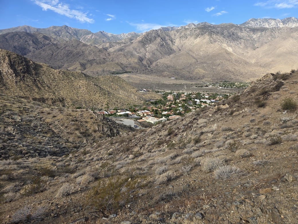
I drove south and realized I was a little too far east, so I got onto state route CA-111 and took that west to Palm Canyon Drive, then went south a couple miles, looking for Bogert Trail (Road). In the dark, the signs were hard to read. I found it, and followed it east and south and east to its end, at the Frank Bogert Trailhead, one of a few trailheads into the surrounding hills. The area is upscale condominiums, and even at this pre-dawn hour, there were a number of joggers, walkers and people with dogs out.
The Bogert Trailhead is at the end of a very steep but short road, a dirt lot with no amenities. I was the only one here. I parked and got dressed. It was barely lighting up, but I was in shadow, the peaks to the east of me. It was still rather warm, right at 80°. I preferred it to be cooler as I was looking at a moderately-long hike.
I started walking up the trail at 6:20 a.m.. The trail is an old road, and it gains steeply, making a left (north), achieving a highpoint, then dropping about a hundred feet. It continues north, then starts uphill again near some water tanks. The road ends soon, and an actual trail picks up.
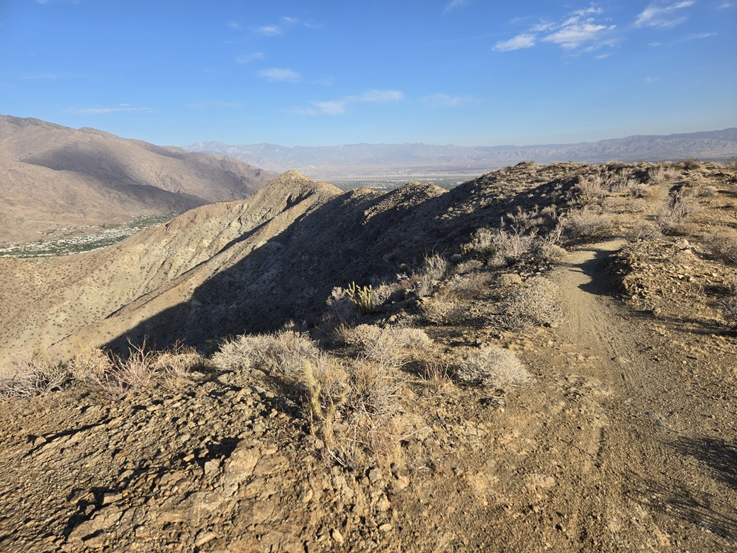
The trail was in great shape, easy to follow with almost no brush in the way, and very few rolling rocks. It was steep, as it charged up a prominent ridge, gaining about 600 feet in this segment. I was still in shade, and higher up, had a soft breeze, which helped.
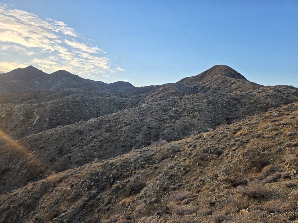
Above me was a higher ridge and a rounded peak, called Peak 1770 on Peakbagger. Murray Hill was hidden for now. The trail makes a long northward bend, then comes to a four-way trail junction, meeting with the Wildhorse and Garsten Trails. I made a hard right, going south up the Wildhorse Trail.
The trail got steep here and a little loose and sloppy. It gains steeply up toward Peak 1770, with a couple spots a little dicey due to gravel on rock, making footing a chore. But it was short and I was soon on top of this humble peak, which has only about 60 feet of prominence.
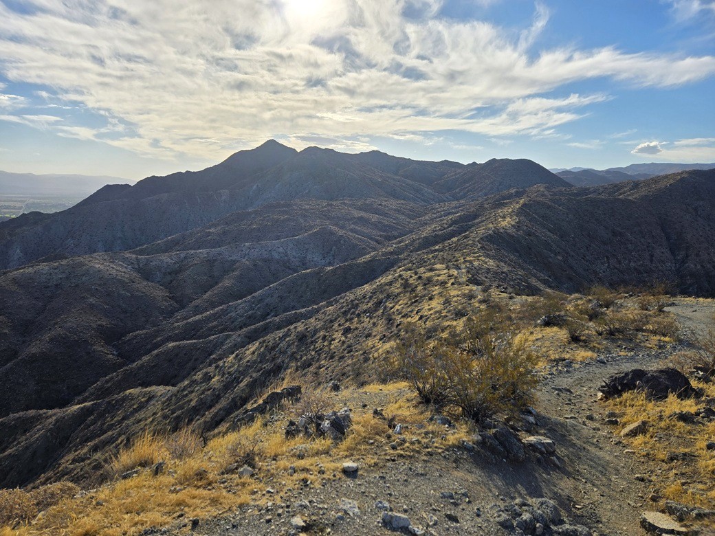
However, from this vantage, I had an excellent view of the rest of the range, including Murray Hill, which appears as a trapezoidal-shaped peak at the left end (north end) of a line of peaks about a mile to the east. Also, now on a ridge, the breezes picked up a little more.
I followed this trail south and southeast. It stays on the ridge exactly for much of its length. Tire tracks from mountain bikers were visible. I would not feel confident myself to bring a bike on this trail.
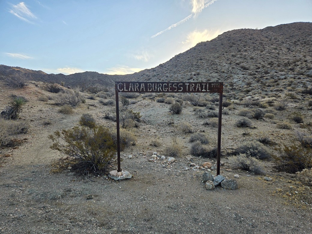
The trail then starts a gentle drop to a saddle, where it meets the Clara Burgess Trail. I was much closer to Murray Hill, but it was now invisible again, hidden by some closer-in peaks.
Frank Bogert was the "Cowboy Mayor" of Palm Springs, who served in that role on and off between the late 1950s and early 1980s. He was a major force in the rise and development of Palm Springs during the mid-20th Century. He lived to be 99 and died only in 2009. Clara Burgess died in 2014, aged 95, and was one of those women who was in dozens of social and civic groups wherever she lived, including Palm Springs, where she lived for much the last 65 years of her life.
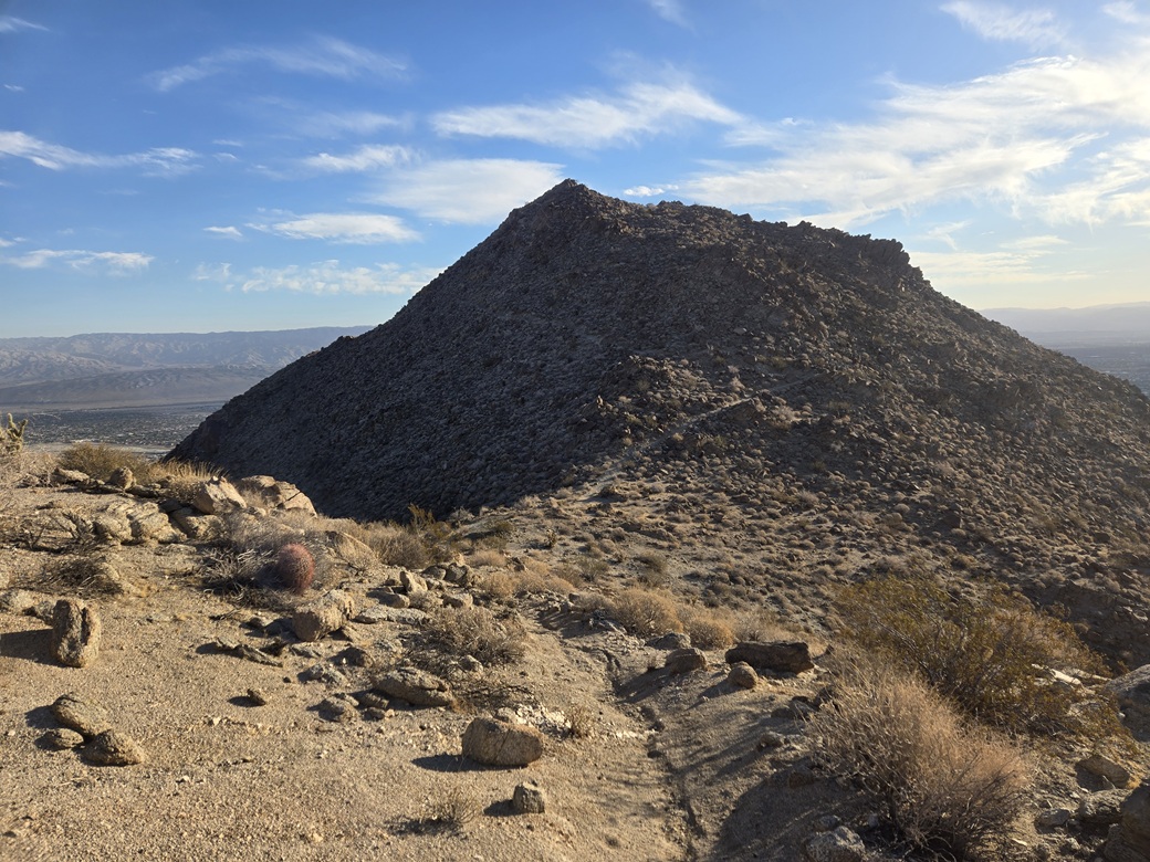
Now on Ms. Burgess' Trail, I stepped kindly and considerately on it, upward and onward to wherever it would take me. It gains a slope, crests another ridge and rounds a bend, and only then would I see Murray Hill up close. The trail then drops about fifty feet to the saddle below the summit mass.
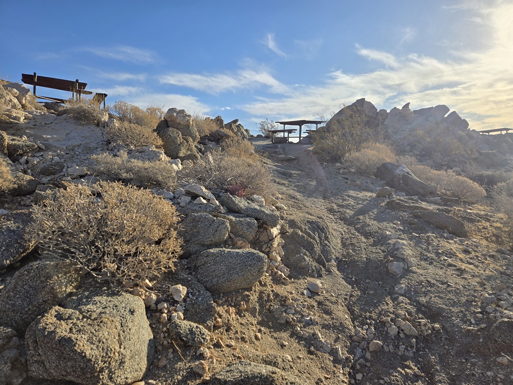
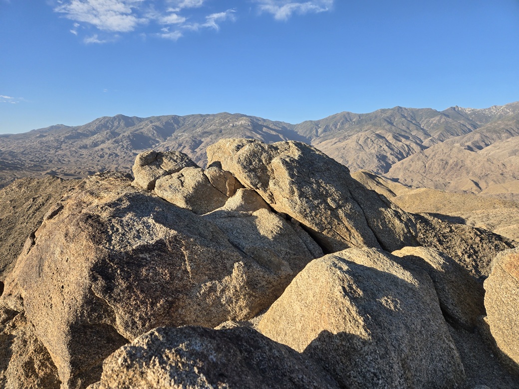
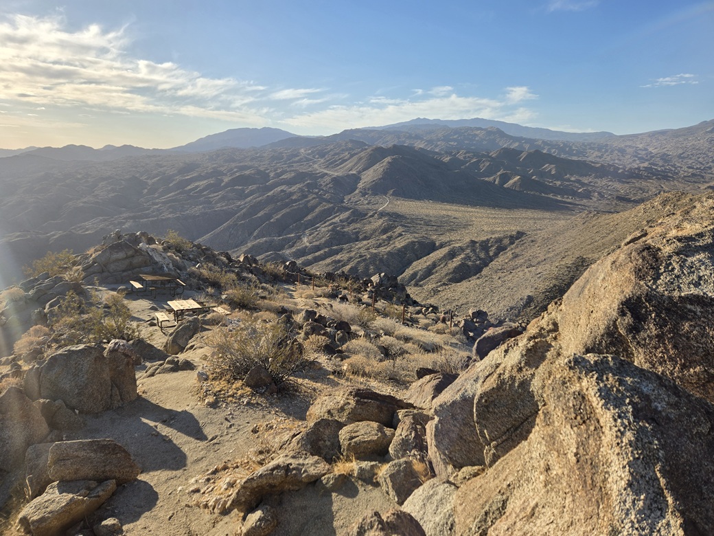
The summit is a big rocky thing, but the trailbuilders did a fine job of hewing it in. It goes up and to the left, then a hard right and upward to the top. Three or four picnic tables sit on flat spots on the high summit ridge. The highpoint was atop a pile of rocks which were easily scaled. I did not expect to find a register up here, and I didn't.
The one-way hike had taken me about 90 minutes, covering a little over 3 miles. The initial warmth never got any worse. In fact, being higher up, it felt a few degrees cooler. It was sunny and very dry, with a steady breeze. The Santa Anas evidently don't have much of an effect right here.
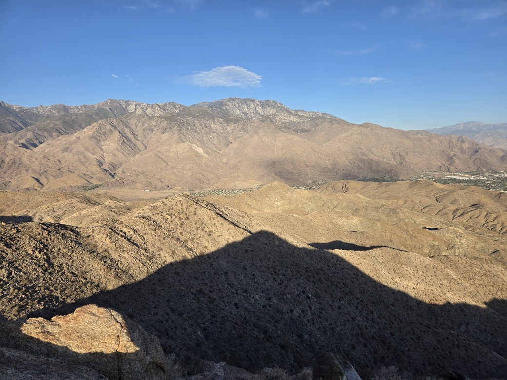
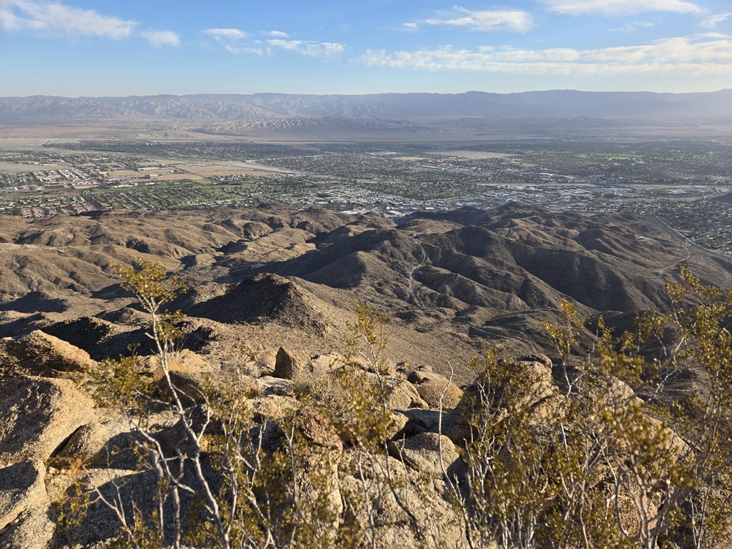
I stuck around for about ten minutes and sat at one of the tables, because why not. The views were fantastic, with La Quinta down to the east, Palm Springs and associated cities to the north and west, and gigantic Mount San Jacinto to the west. To the south were myriads of hills, valleys, canyons and peaks. Big Toro Mountain rose to the southeast.
I headed down, and made very good time on the good trails, although I still watched my footing. With the sun higher, I got better images, and never stopped until I was most of the way down, when I stopped for a water break.
I was out to my car about 9:15 a.m.. I had not seen anyone on the trails and there was no one else parked in the little lot. It was warm, so I changed into some looser clothes and started the drive out.
My goal was La Verne, where I'd be staying with a friend of mine. I got onto Interstate-10 and drove it up the grade into the Inland Empire. I used to drive these highways often, even after moving to Arizona in 1992, but seven years of not being here, I had forgotten a lot. Everything looked vaguely familiar and new at the same time.
I stopped in Colton for a break. There was a Wendy's, so I popped in for a snack and a cold drink, and just sat there for about an hour. I texted my pal and he said come by around 2 or 3 p.m.. Since it was still only about noon, I had another peak I could tag: the South Hills of Glendora. The only downside: it was very windy here, the Santa Anas in full force barrelling down the Cajon Pass. It was also hot, in the 90s. It was one of those rare days when it was hotter along the coast than in Palm Springs.
|
|