
The Mountains of California
www.surgent.net |
| South Hills Highpoint |
• South Hills Park • City of Glendora • Los Angeles County |
|
Date: October 16, 2026
• Elevation: 1,214 feet
• Prominence: 334 feet
• Distance: 2 miles
• Time: 45 minutes
• Gain: 415 feet
• Conditions: Hot with Santa Ana winds
California
•
Main
•
PB
•
LoJ
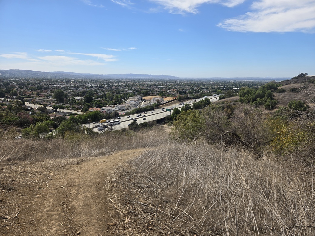
The South Hills are a tiny batch of hills in Glendora, just north of the 210 Freeway. They are encompassed in a city park with a couple of parking spots and let-in points.
I was in Southern California, my first time in almost 7 years, for a family get-together. I drove out late last night from Arizona and camped at Chiriaco Summit east of Indio, then climbed Murray Hill in Palm Springs earlier this morning.
From Palm Springs, I got onto Interstate-10 heading westbound. About an hour later, just about noon or so, I pulled off the freeway in Colton and stopped at a Wendy's for a snack and a coke, and a chance to figure out what to do.
I was going to be staying with a pal of mine in La Verne, and he recommended I come by about 2 or 3 p.m.. This gave me time to go inspect these little hills, which rise just a couple miles west of La Verne.
Back on the 210, I took it westbound another 25 miles or so to the Sunflower exit. This segment of the drive was exciting because the Santa Ana winds were blowing today, and in Ontario and Cucamonga, a straight shot below the Cajon Pass, the winds come barrelling down unimpeded.
I was behind a truck and we were both being rousted by the winds. Me in my Subaru, it just pushed me a little bit, but the trucker, his whole rig almost tipped over at one point! It leaned hard left and he had to do to steering to mitigate the lean.
It was also hot, into the mid 90s. It had been cooler in Palm Springs, ironically, in the low 80s. These Santa Ana winds can crank up the heat in the Los Angeles basin, and October is when they can be the hottest.
On Sunflower, I went south a half mile to Gladstone, then right (west) a half mile to Bonnie Cove Road, turning north. This road goes under the freeway and emerges into a parking area for the South Hills park.
I was the only one here. It looked clean but all the signs had grafitti tags. I had some concern about being the only car here and being exposed to a break-in. I decided to drive back onto Bonnie Cove and park along the street along with the other cars, hiding in plain sight. This added an eighth of a mile each way, but I felt much better.
I went light, just my poles and a buttpack. It was toasty, 94° said my car's thermometer. I walked to the park, under the freeway, then got onto Bonnie Cove East Trail.
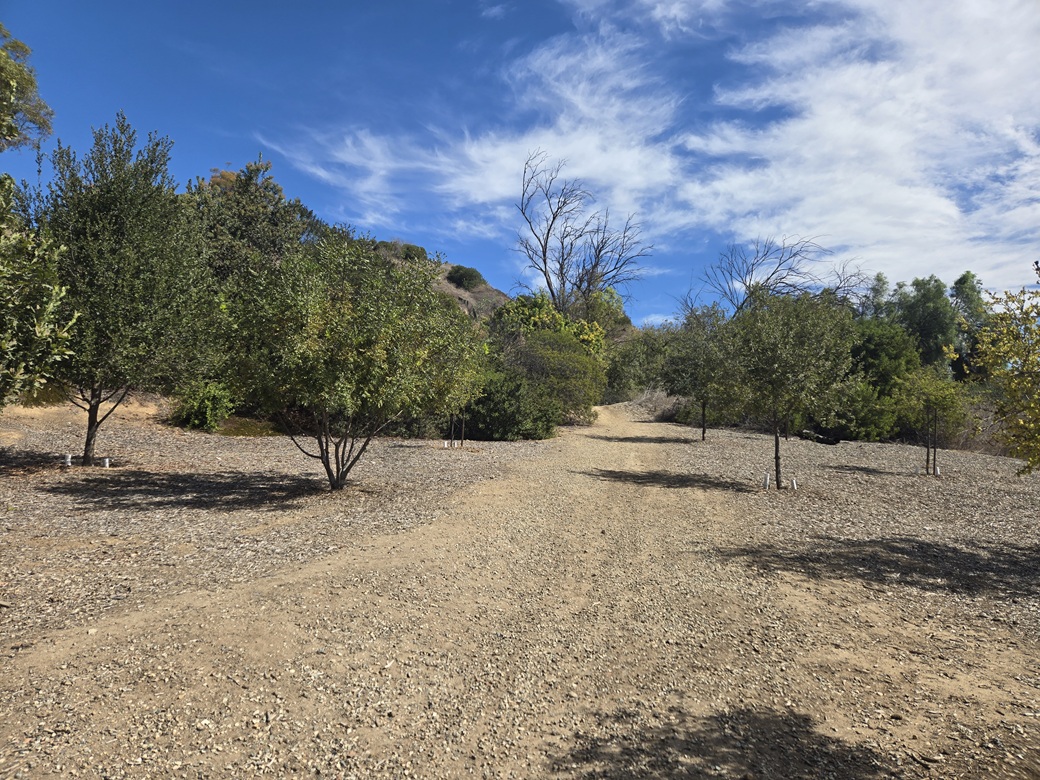
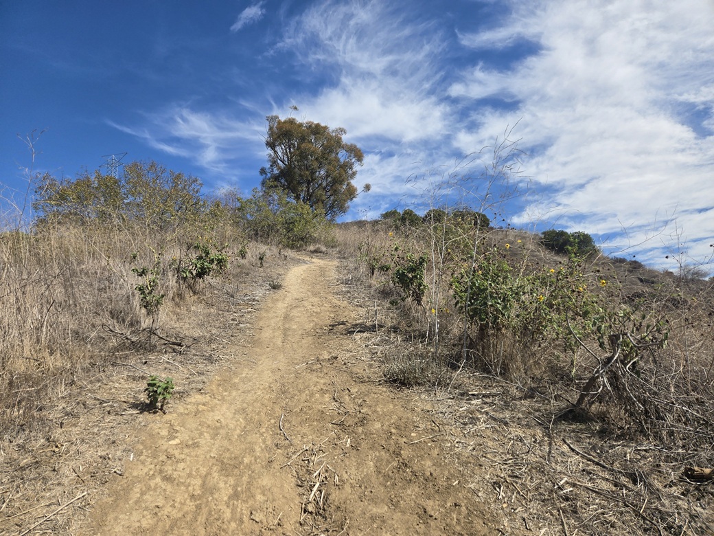
This trail is wide and easy to follow and looks like an old ATV path. It gains very steeply, which was fine with me. About ten minutes into the hike, it meets a road. I turned right and followed it up around one hill, at which time the highpoint was visible in the near distance.
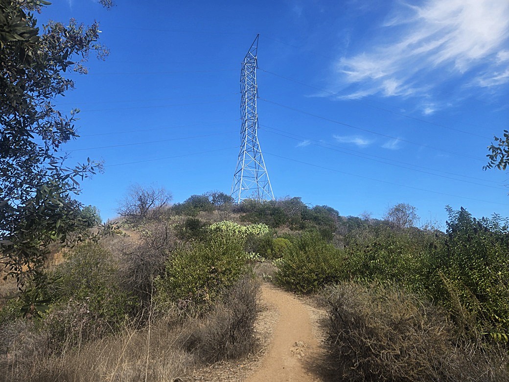
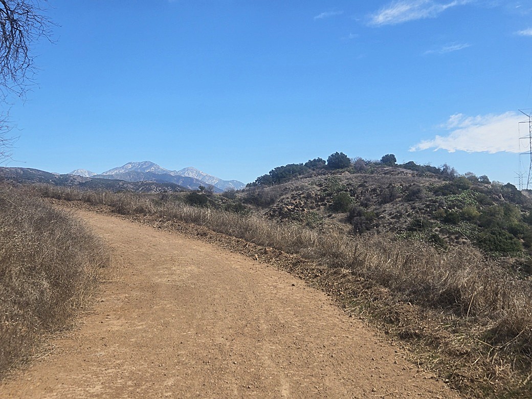
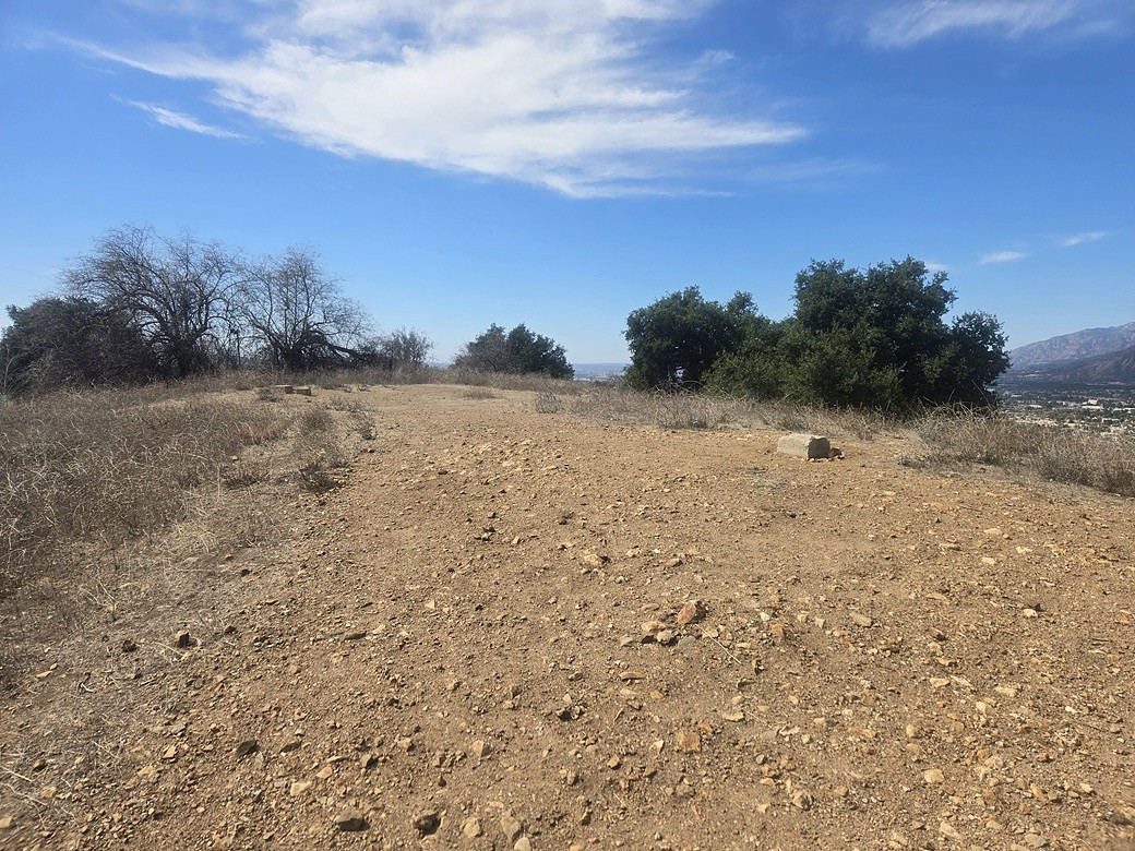
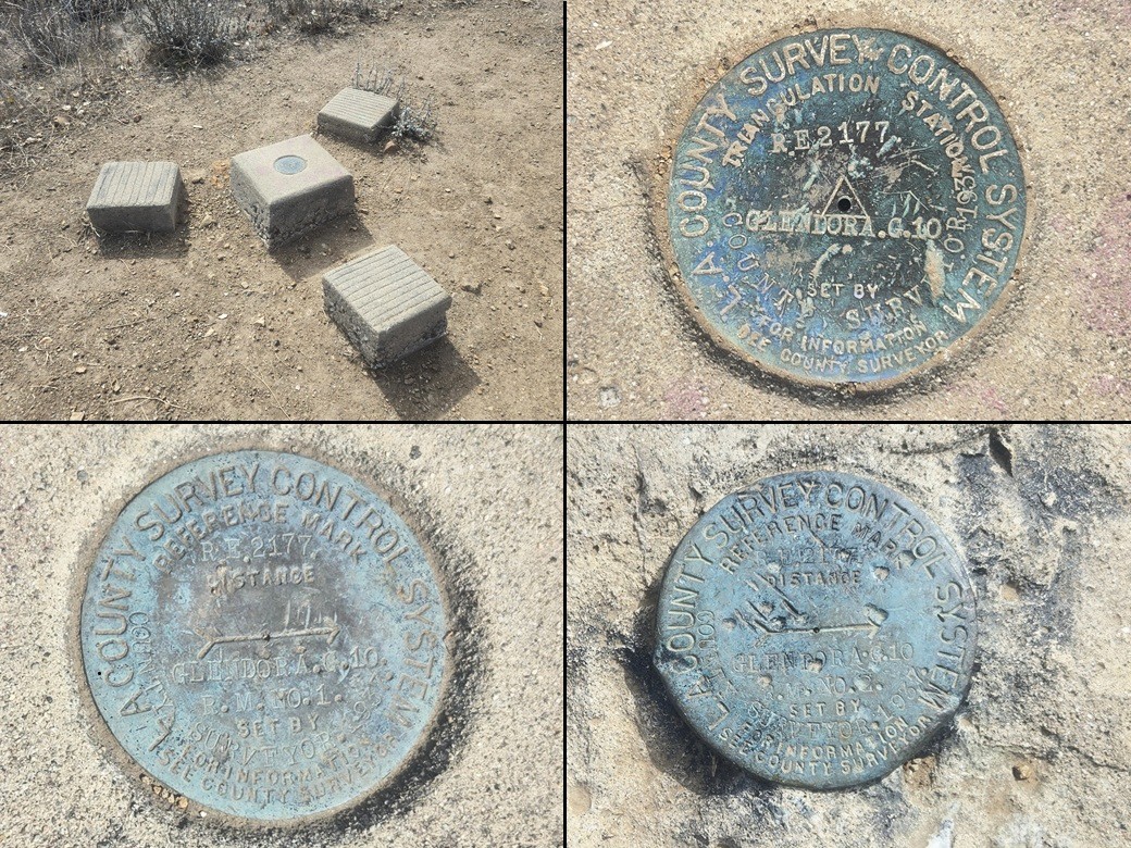
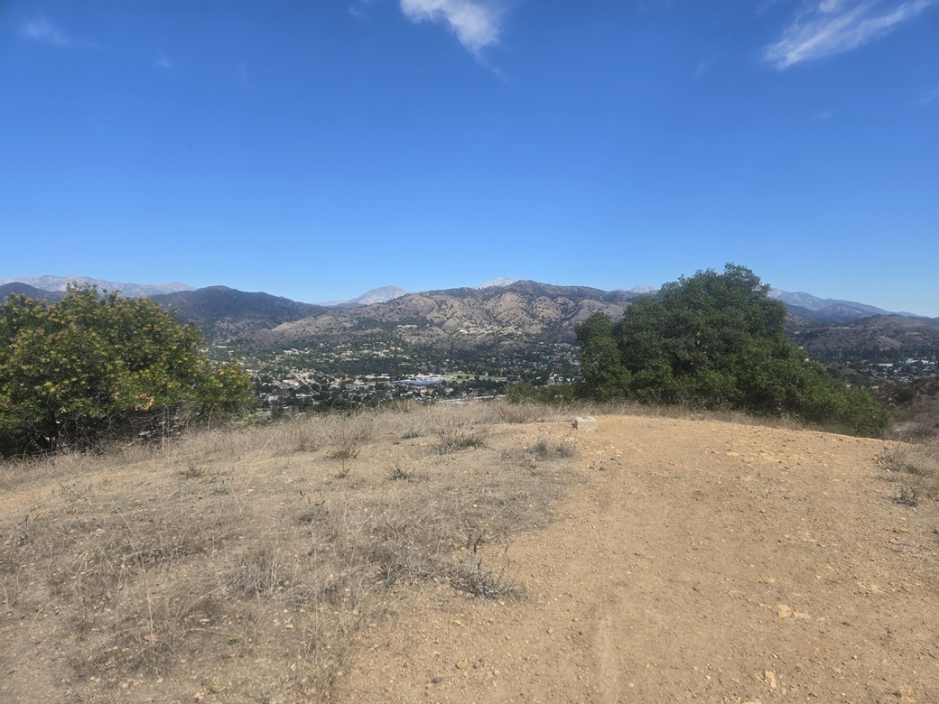
I just walked the road to the highpoint, following a spur to the open top. There were some concrete piers with benchmarks and reference marks affixed to them, stamped Glendora.G.10. I felt one of the reference marks was at the actual highest point. The top itself was unexciting, but the views were good, the air being clear today with the winds blowing out any muck.
It had taken about twenty minutes to get here, covering about a mile. I stuck around for a few minutes to look around and shoot images. The park and the hills are surrounded by suburbs and freeways. However, the trail and the peak were free of garbage and tags. I'm surprised no one's pried out the benchmark yet. They've been there almost 90 years.
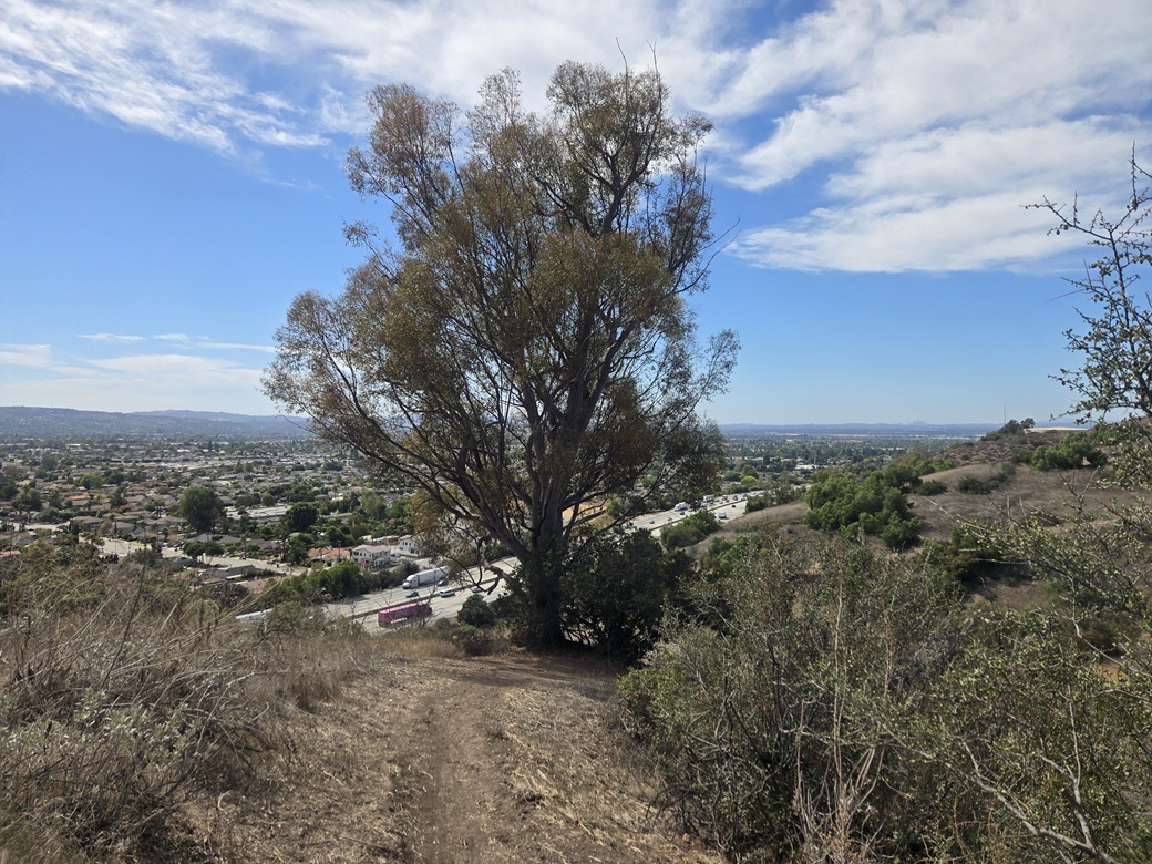
The hike down went very quickly, following the same route out. A stately eucalyptus stood beside the trail lower down. I always like these trees as they can be quite large. Down below was the freeway and its noise.
I was back to my car quickly, the time about 1 p.m. now. I changed and then drove back to Gladstone, following it eastbound. We lived on Gladstone in La Verne when I was a kid and teenager, moving away in 1987. I drove back to the old house, which is still there. After nearly 40 years, I don't really have any feelings about it. It's a house.
I still needed to kill some time, so I drove into La Verne proper and looked for a grocery store. I stopped at a Vons on Foothill. We used to shop at this Vons when I was living here. I took a hard look at every old person bent over their cart, in case I went to high school with them.
Now I could go over to my pal's place. We hadn't seen one another since my last visit in 2020. As per our habits, the first thing we did was watch old Caspar the Friendly Ghost cartoons and Woody Woodpecker ones too, the later ones, not the earlier scarier ones.
Tomorrow I would meet with my family for an important ceremony in Marina Del Rey/Venice Beach, then stay another night in La Verne. The following day (Sunday), I started my drive back to Arizona, but decided to hike some peaks in and around Riverside plus visit the UC Riverside campus.
|
|