
The Mountains of California
www.surgent.net |
|
Pedley Hills Highpoint • Sugarloaf Mountain • Mount Rubidoux
I was in Southern California for the weekend, visiting with family and old friends. Two days ago, I had hiked Murray Hill in Palm Springs, and South Hills Highpoint in Glendora. Today, I would be heading back to Arizona, but not without some diversions along the way.
I wanted to return to Riverside, where I lived and went to college from 1985 to 1992. I had not been in Riverside since 2012. I was curious how much the university has changed. Naturally, I lined up some easy peaks to tag along the way. I wanted quickies, no epics.
Date: October 18, 2026
• Elevation: 1,423 feet
• Prominence: 517 feet
• Distance: 0.3 mile
• Time: 10 minutes
• Gain: 125 feet
• Conditions: Nice
California
•
Main
•
PB
•
LoJ
I left my pal's place in La Verne at 7 a.m. and was in Jurupa Valley, the city that adjoins Riverside, about 45 minutes later. First on the agenda was the highpoint of the Pedley Hills, a small batch of hills south of the larger Jurupa Mountains.
From highway CA-60 ("the 60"), I exited at Valley Way which met with Mission Blulevard. I went west on Mission briefly to Camino Real, then south a little under two miles to Arrowhead, then onto Lakeside, going back north. I was in a neighborhood of homes. It was still early and no one was out.
I drove Lakeside to its end, the last little bit quite steep. The road ends, but a dirt continuation continues up the hill. I jammed my car onto a small driveway to some city-owned tanks of some sort.
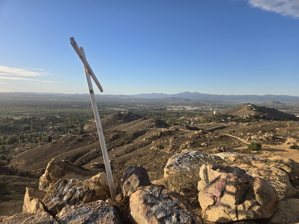
I was very close to the top. I just grabbed a pole, phone and keys and started the short walk. I walked the dirt road up hill, went right, and there was the top already. I marched up a steep and eroded track to the summit, just 5 minutes and under a quarter mile of fast walking.
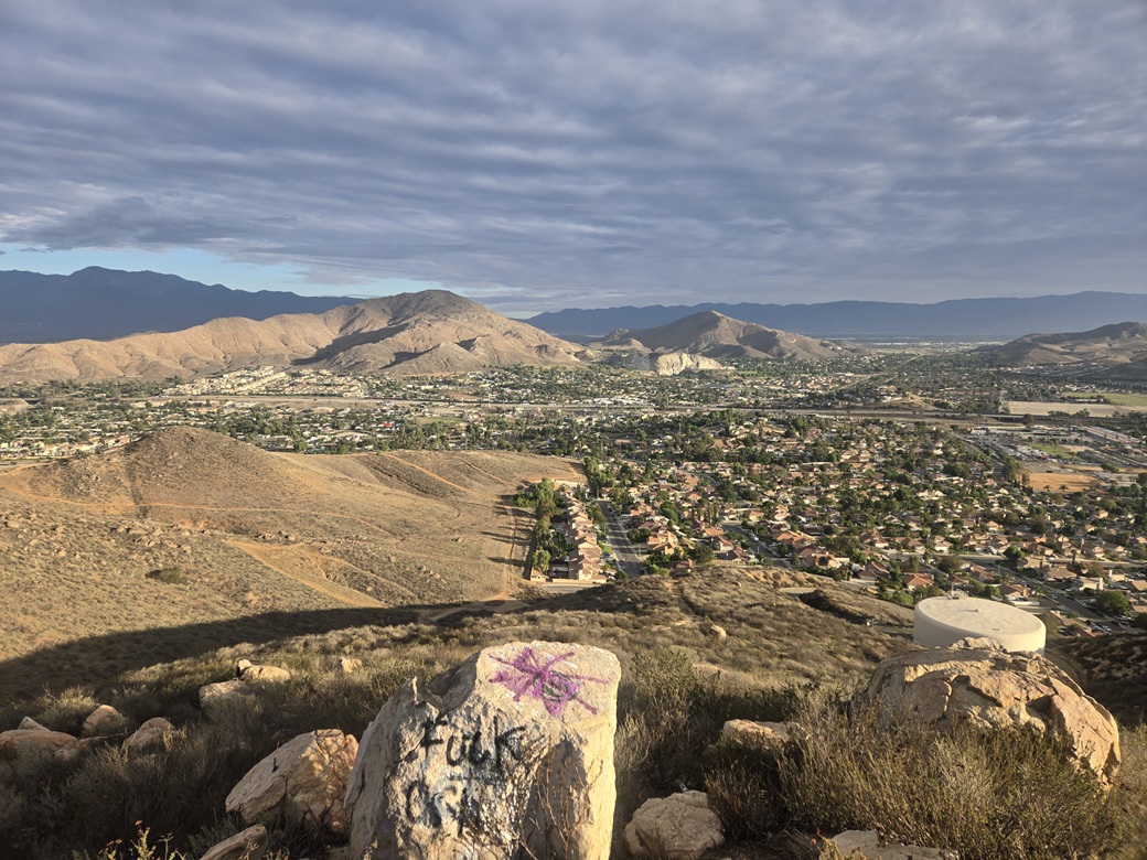
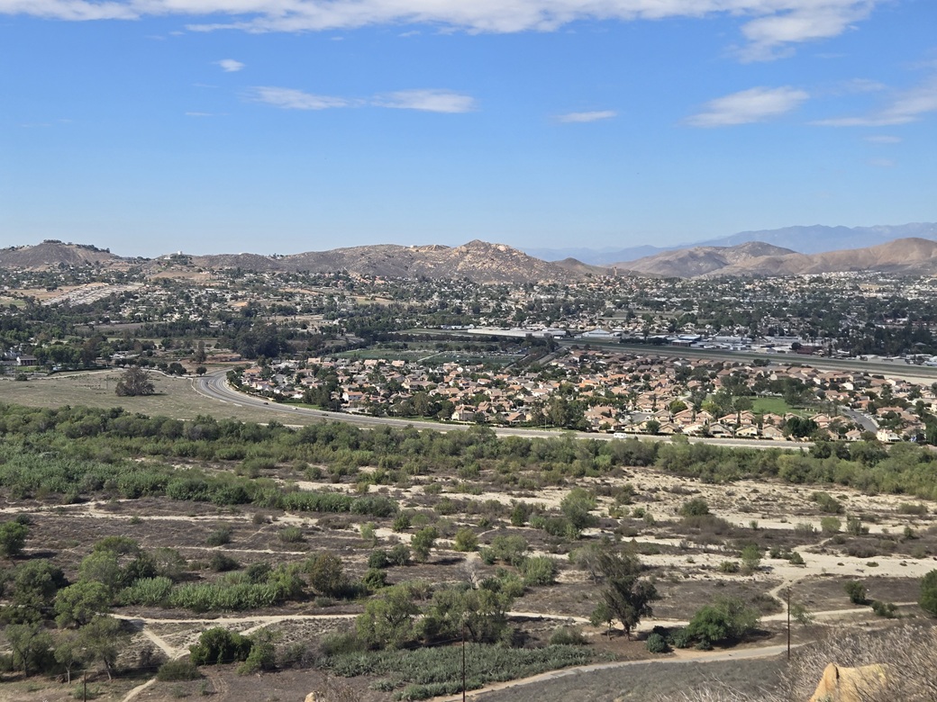
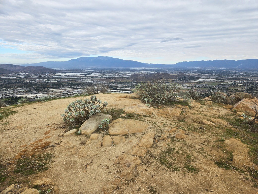
Views were good, with a big lone cloud above the Jurupa Mountains to the north. It was sunnier in the other directions. The summit itself was shabby. There was a simple cross, leaning to one side. People had spray-painted stupid tags and pictures. I didn't stop or tarry. I turned around and jogged back. I had been gone 10 minutes.
Some local guy was hiking up the road as I got back to my car. I suspect people from the neighbordhood hike up here often. The neighborhood looks like upper middle-class, whereas the area beyond the end of the road is junky. That top area could be a little park.
Anyway, I was done with this little peak. It wasn't anything special but I was happy to get an easy one for the stats. I drove back to Mission Boulevard and aimed east, now intending to look at Peak 1739, a lone mass west of the Jurupa Mountains.
I got near the peak's south side along La Cañada Drive but immediately backed off. The southern base is being cleared for new homes, and there were "no parking tow away" signs along the road. Being a Sunday, it was still for now, no one around, but I didn't want to chance leaving my car there. So I bailed.
Back on Mission, I headed into Riverside to hike Mount Rubidoux. I got onto the small grid of streets abutting the east base of the little peak, but got stopped by "road closed" signs everywhere.
I tried a few different routes but quickly discovered everything is shut down. Then I saw some runners, a lot of them. I pulled over, got on my device and learned today was the day of Riverside's annual race, varying from 5k to half marathons. Mount Rubidoux was inaccessible for the time being. The website said the closures would be over by noon. It was barely 9 a.m. now.
With no choice, I bailed and drove through downtown and got myself onto Spruce Street, which I followed east toward the Box Springs Mountains. Suddenly, I was looking at Sugarloaf Mountain. I was aware of it but had not planned to hike it this trip. With time open and no other options, I decided I would hike this peak.
Elevation: 1,947 feet
• Prominence: 427 feet
• Distance: 1.2 miles
• Time: 1 hour
• Gain: 720 feet
• Conditions: Overcast but warm
PB
•
LoJ
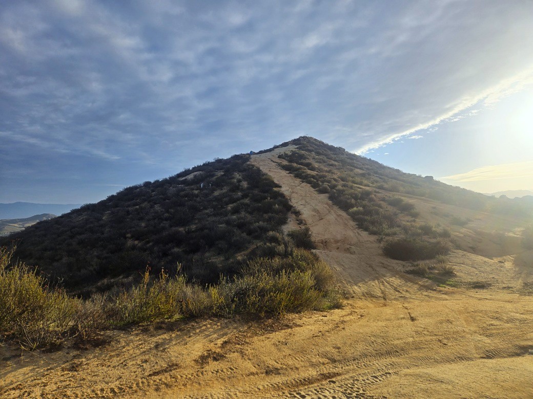
I followed Spruce Street past Watkins Drive and some railroad tracks, staying on Spruce and within a small development of nice homes. I drove until I was near the corner of Spruce and Valencia Hill Drive. There is some street parking for the trailhead for Spruce Mountain.
It was about 9:30 a.m.. That cloud mentioned earlier had now parked itself over the Box Springs Mountains. It was shady with muted light here, whereas just a mile or two away, it was sunny.
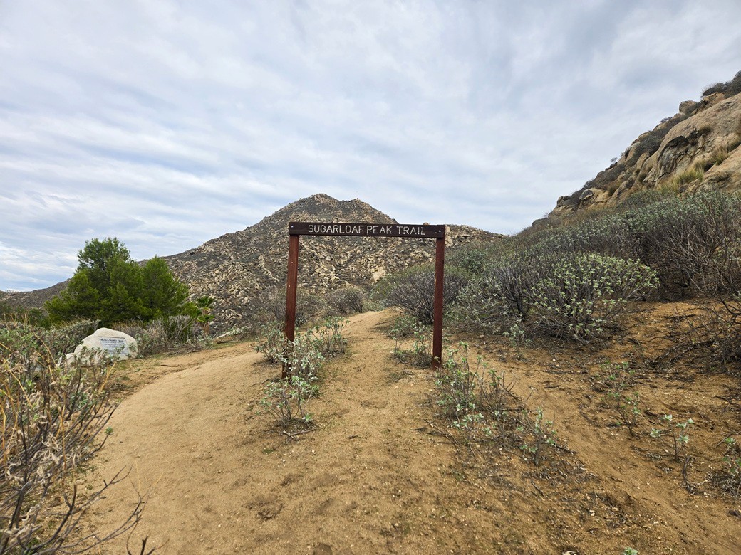
I was moving quickly. I hiked up to the trail sign, then along a flat segment, then steeply upward toward a saddle with another sign pointing to the mountain.
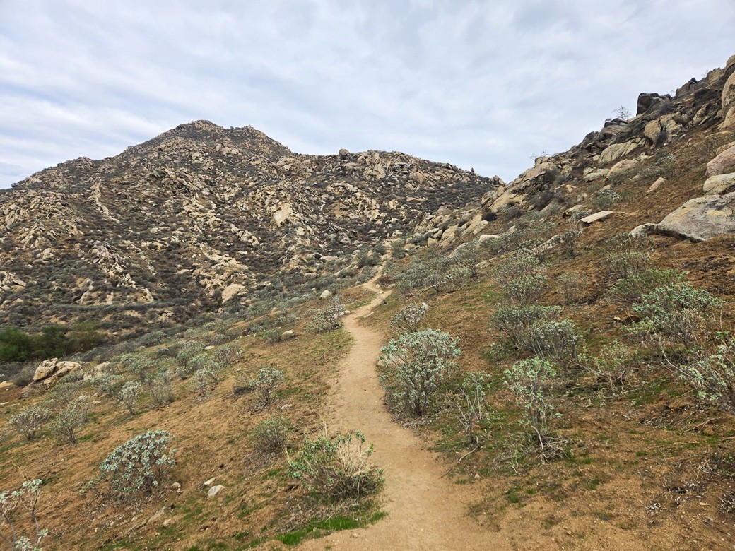
I went left, going steeply uphill. The trail is essentially small gravel on top of hardpack, thus footing was a chore. I walked beside the trail in the light brush, where footing was more secure. The top was in view, but not the actual summit yet.
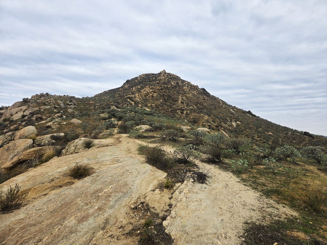
The trail angles right and up, becoming much steeper and eroded. I eased up these segments, stepping on anything I could, including some large rock outcrops. It wasn't fun but it got me higher quicker.
The trail then levelled near what I thought was the highpoint, but it wasn't. Just then, a guy with his dog were coming down. We stopped to chat. He recommended a loop that I could take for the hike out. The guy was nice, too. I was on the summit a minute later. The one-way hike had taken just 20 minutes.
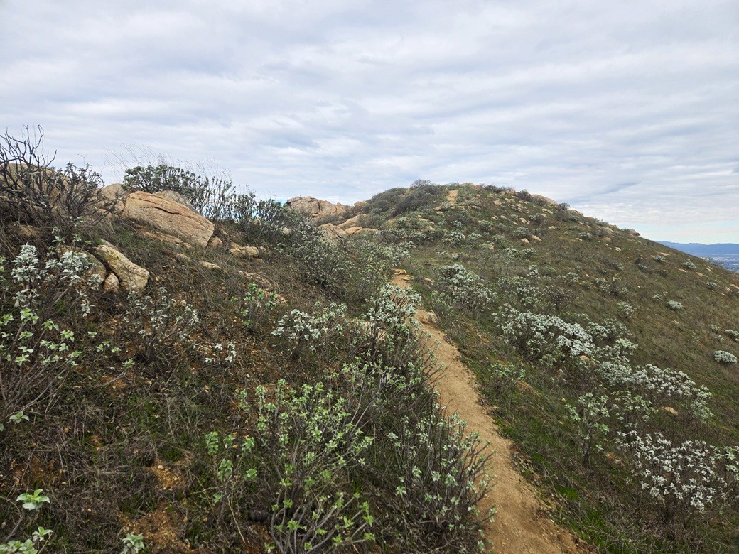
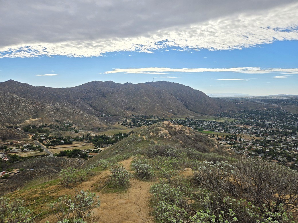
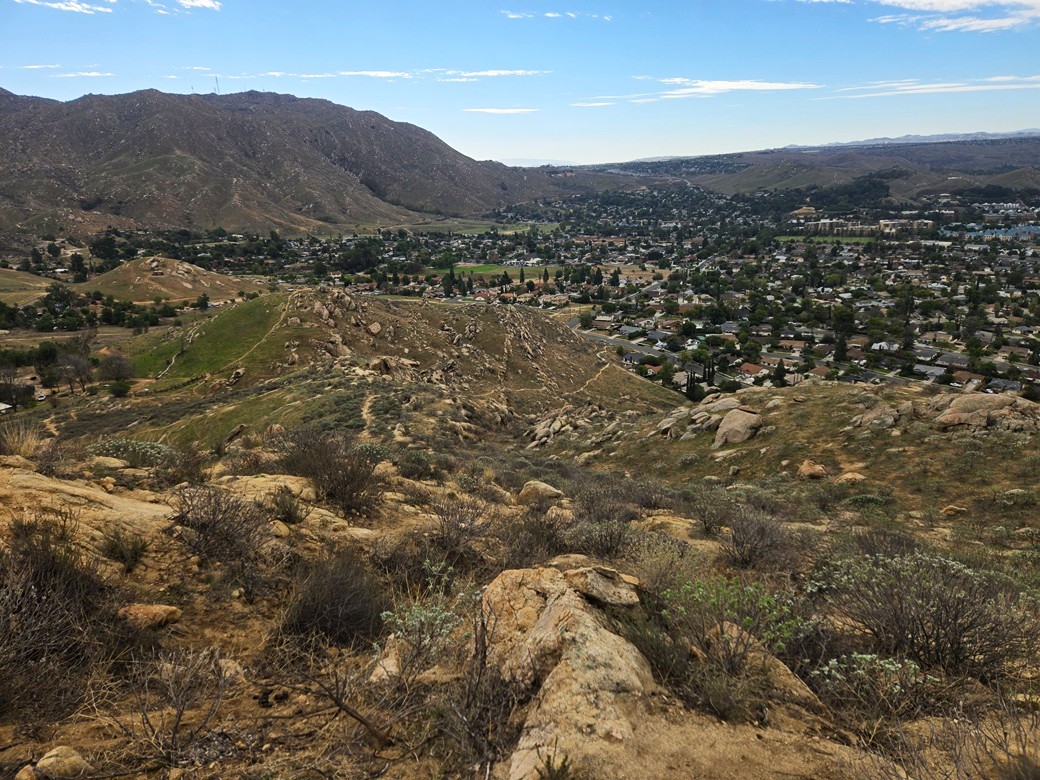
The top was open and bare, and with the muted light, not very interesting or colorful. I looked down over Riverside, plus points north toward Grand Terrace and Colton. I then descended off the opposite side, intending to follow the loop the guy recommended.
At first, this went well, dropping quickly along decent trail. It was still steep but not as beat-up as the one I had just come up. The trail then makes a right turn and traverses the slope. It was a narrow (1 foot wide) trail with an outward camber, and any steep parts meant dealing with the gravelly tread.
Suddenly, the trail became a ledge. The slope below me was about at a 60-degree angle, I kid you not. The run out would be about 50 feet. I would never stand on a foot-wide ledge 50 feet up on a building, so why was I doing this here now? This spooked me and I immediately noped out of this route. I returned to the summit. All of this cost me about fifteen minutes.
I just descended the way I came up, which is what I should have done in the first place. As haggard as the trail was here, it was never treacherous. If I slipped, I'd go for about a five-foot ride, not fifty. I was down quickly, the round-trip taking just under an hour.
This little peak worked well for me given the circumstances, but it wasn't a pretty peak. The trail up could use some maintenance, e.g. some railroad ties to shore up some of the higher parts.
It was about half past 10 a.m., and Mount Rubidoux would not open up for another 90 minutes. I would use this interregnum to visit my alma mater, UC Riverside.
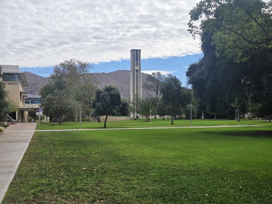
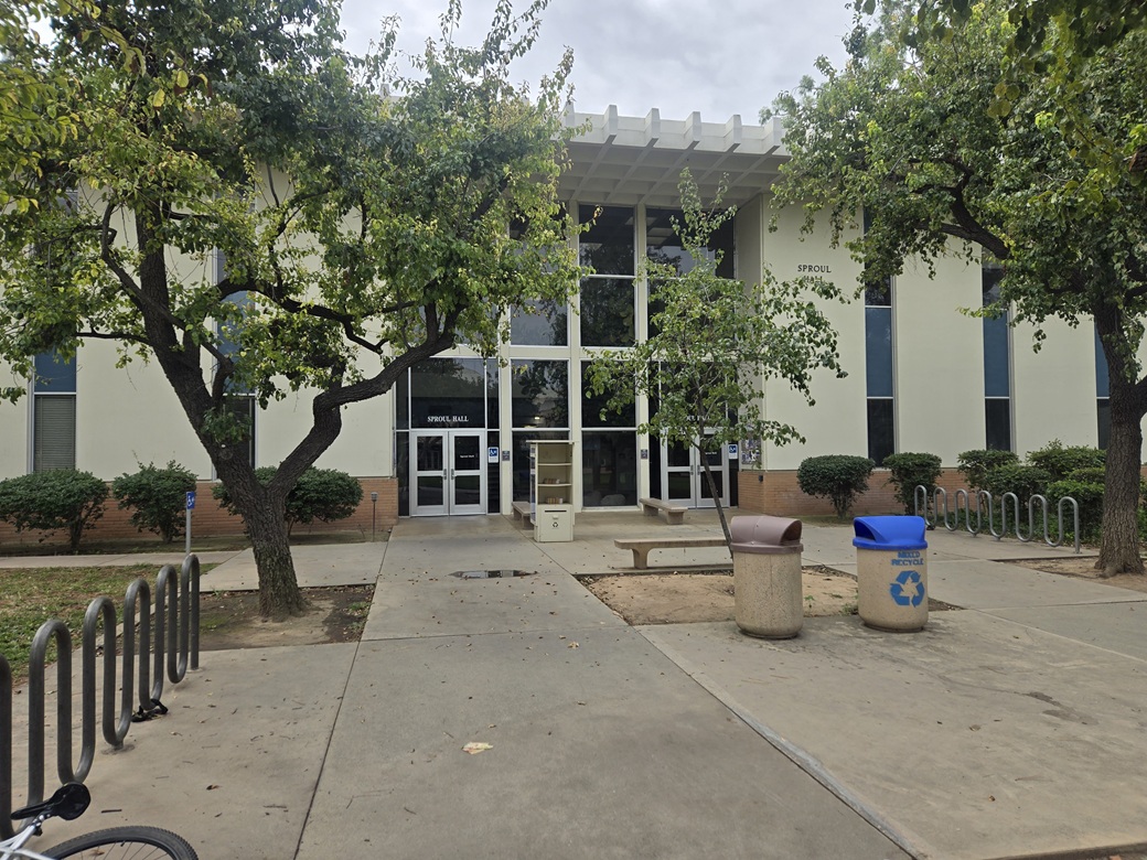
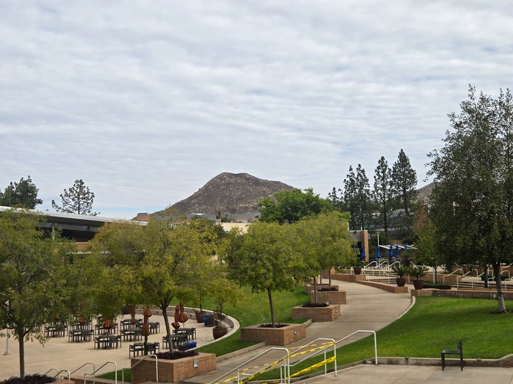
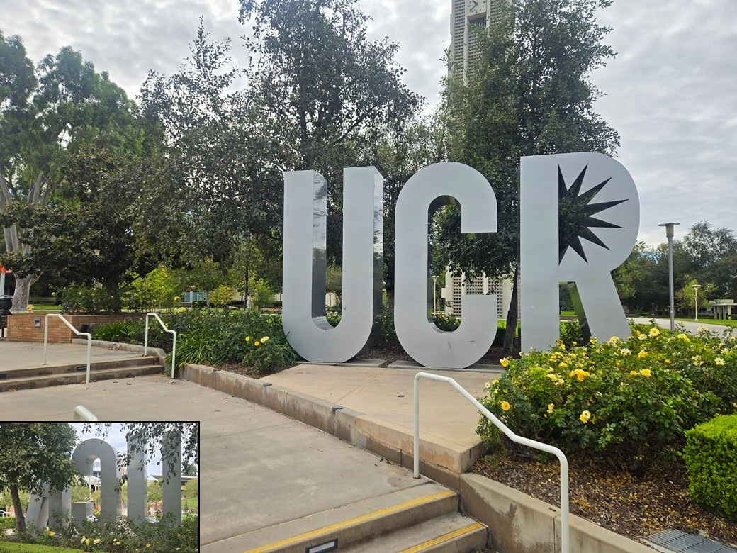
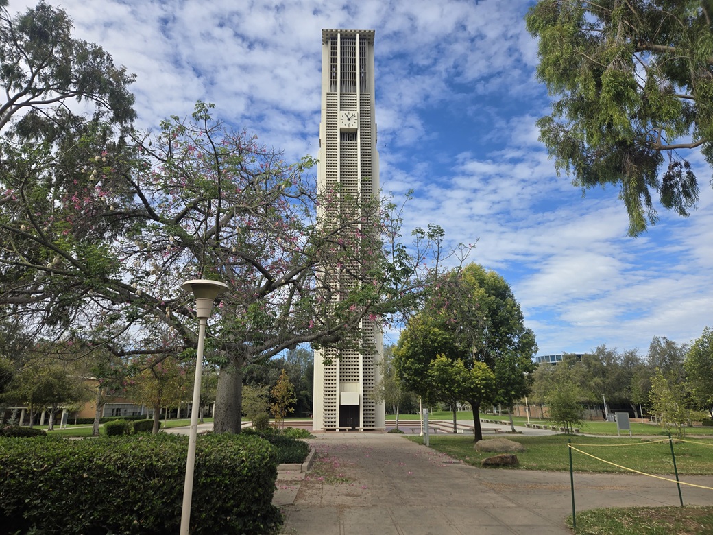
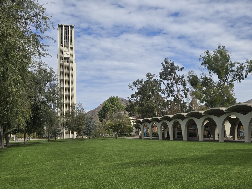
I drove down Valencia Hill Drive and realized I have no idea where I am heading. I found some roads with familiar names, like Blaine (I lived in an apartment on Blaine back then). Somehow, I got myself back on familiar ground, onto Watkins Drive, which I followed to Big Springs Road, at the east tip of the University's main campus. I then drove Big Springs Road onto the campus grounds, onto the main road that encircles the campus. I saw buildings that looked familiar, and many new ones. It seemed like there were more trees these days. I eventually found my way onto Canyon Crest Drive and to the University's main entrance on University Drive. I drove in to the main parking lot and got myself a parking pass online. The lot only had about ten cars. I just moseyed onto the campus grounds. Immediately, the nearest buildings looked new and unfamiliar. Up ahead was the Bell Tower, which was a familiar sight. I stopped briefly at Sproul Hall, where I spent a lot of my undergrad and graduate years learning my math. I then walked toward the main student commons. The student commons have been completely rebuilt since my time here, and this was true even back in 2012, my last time here. Nothing was open and the campus was dead. One young lady was manning the desk in the main commons building. I talked with her briefly, mentioning I was a grad, Class of '89 and '92, which I am sure just made her think I was really old. She was friendly. I then just went for a random walk, to and fro, hither and yon, yay and nyaw. I walked to the Physics buildings, then past the old bug buildings (Entomology; I think they've moved since then). I walked past the Library, past Humanities, then returned via the Barn and back to my car. It was close to noon now. The cloud had moved on and it was warmer, but still pleasant, high 70s.
I sat in my car for about twenty minutes, allowing more time for the race to wrap up and for the streets to open. I did not get rolling until almost 12:30. I enjoyed my visit to the old campus. It is much larger and prettier than when I was there. In the old days, many of the buildings had that stark, utilitarian, faintly-military style to them. Now many of them look "universityish". It's a pretty campus.
Elevation: 1,340 feet
• Prominence: 494 feet
• Distance: 3.4 miles
• Time: 1 hour
• Gain: 605 feet
• Conditions: Warm but very nice, the clouds moved out
PB
•
LoJ
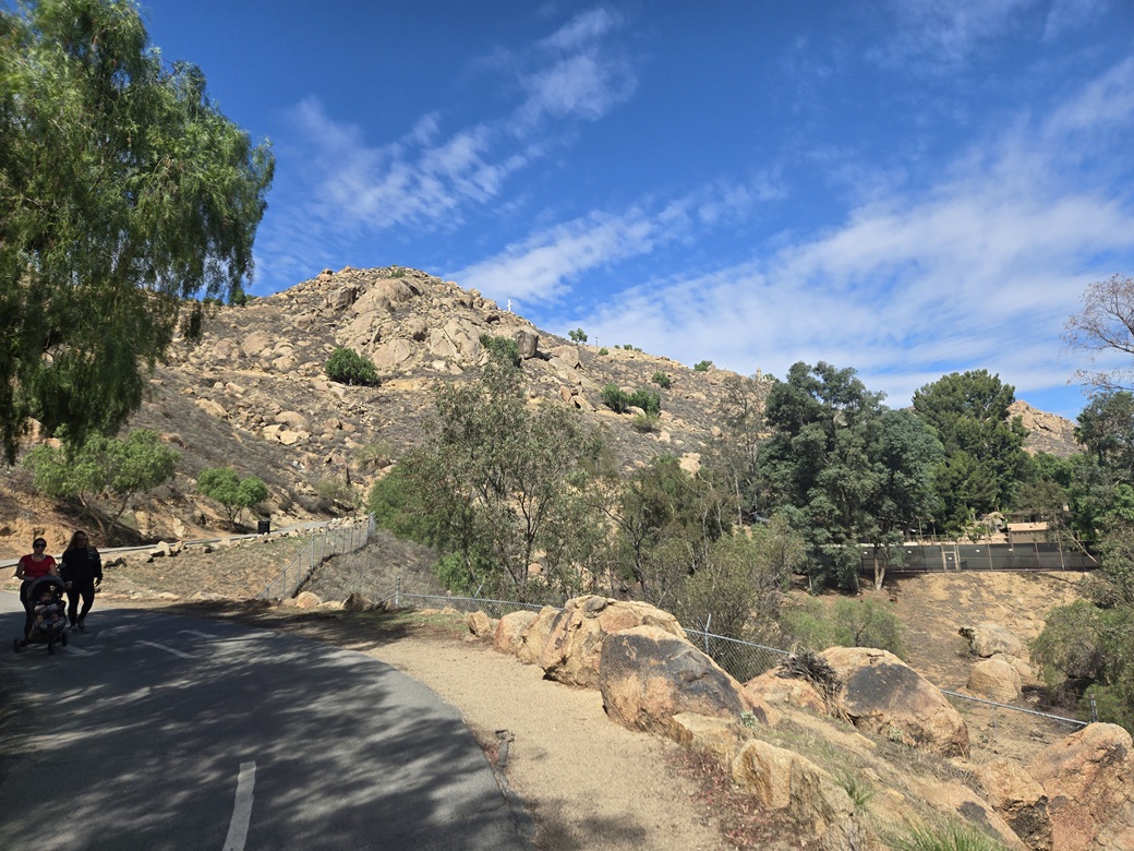
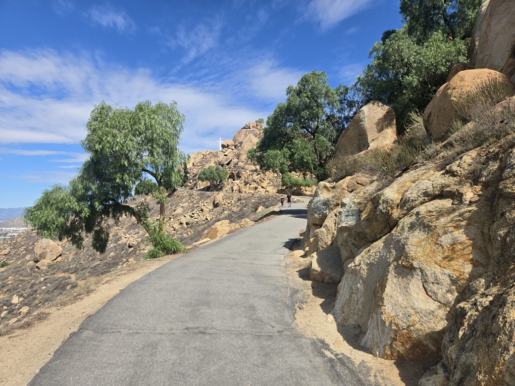
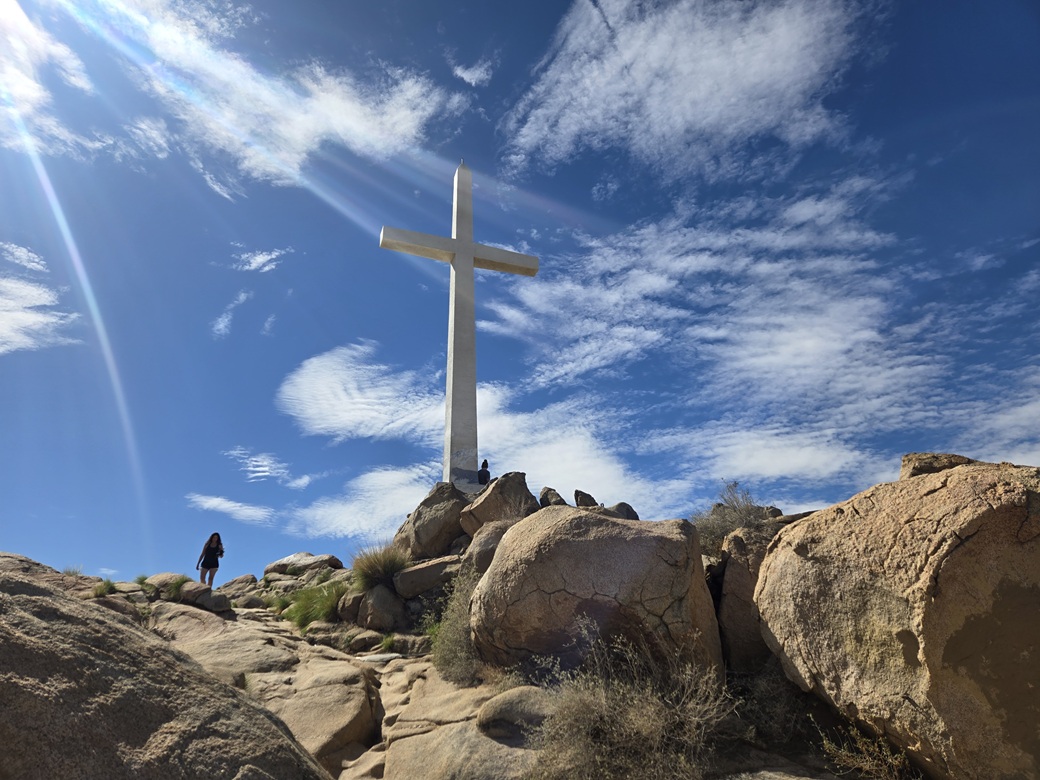
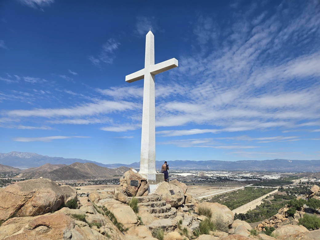
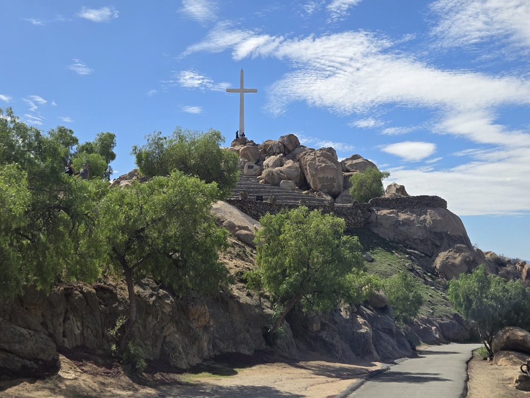
Mount Rubidoux is a lone peak on the west edge of downtown Riverside, along the Santa Ana River bank. It features a large cross on its summit, and is host to one of the oldest continuing traditions, an open Easter Mass, which they've done every year since 1909. The peak is accessible by a paved walking path.
Naturally, given all the time I lived in Riverside, I never got to Mount Rubidoux. Frankly, I never got to a lot of places around the city. I tended to stay put in the University area, with a few areas in the bigger city I would regularly visit.
For this visit, I had placed Mount Rubidoux as my primary goal. Not because it's a major mountaineering challenge, but because of its history and a feeling I should have already done this forty years ago.
The peak is named for Louis Rubidoux, who settled in the area way back in the 1840s. The community of Rubidoux lies west of the peak and of the Santa Ana River. It was always unincorporated, never a part of the city of Riverside. During my years here, Rubidoux the town was kind of a rough place. It was where I got my first tattoos. In 2011, it became part of the city of Jurupa Valley, but still retains the name for its immediate area. It is pronounced "Rubi-doe", but we always said "Ruby dukes".
I drove the streets through downtown Riverside, then found my way toward the park at the south base of the peak, along Tequesquite Avenue. I parked, and started my hike soon thereafter, about 1 p.m. and fairly warm by now.
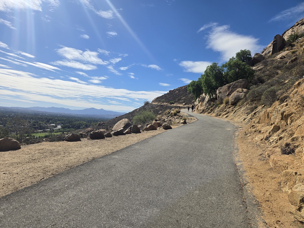
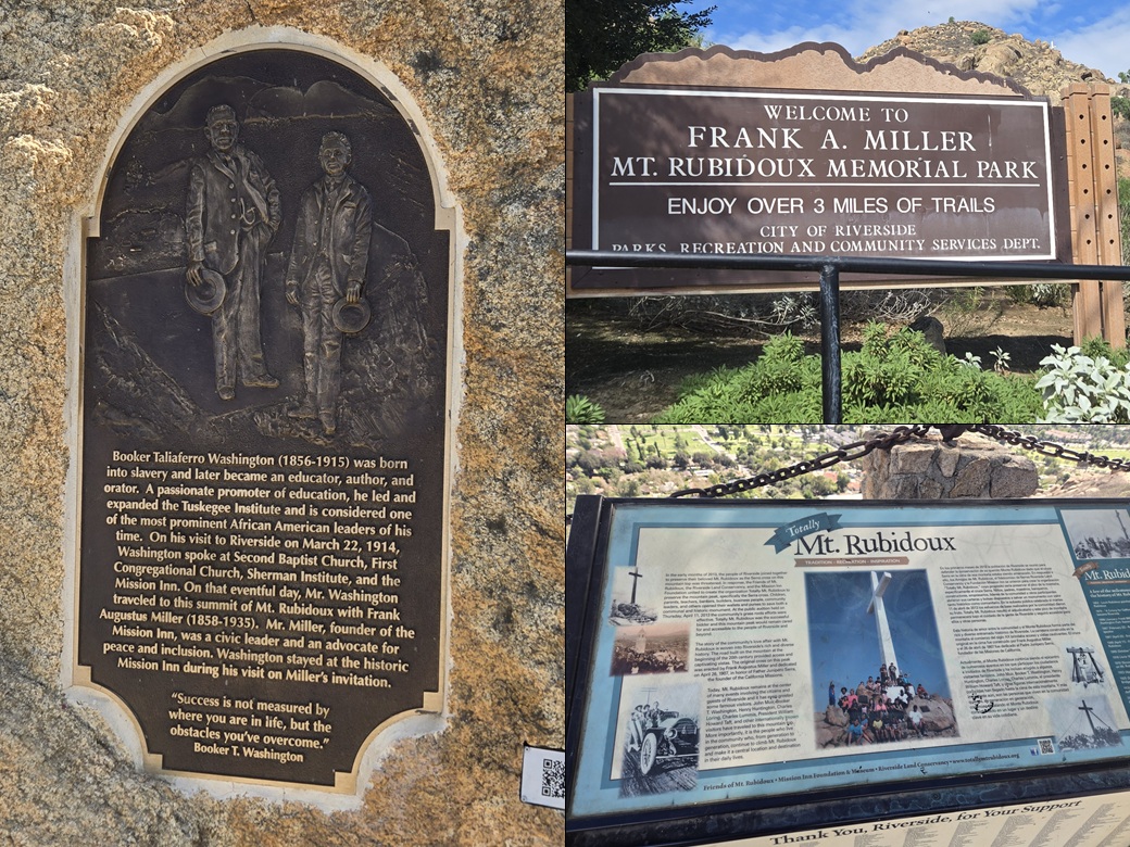
I walked up San Andreas Drive to the let-in point, signed as the Frank Miller Mount Rubidoux Memorial Park. The path is a paved road, and immediately splits, forming a loop. I went left. A lot of people were on the route today, and it appears to be a very popular place. People ranged from families with small kids, people pushing strollers, joggers and regular hikers.
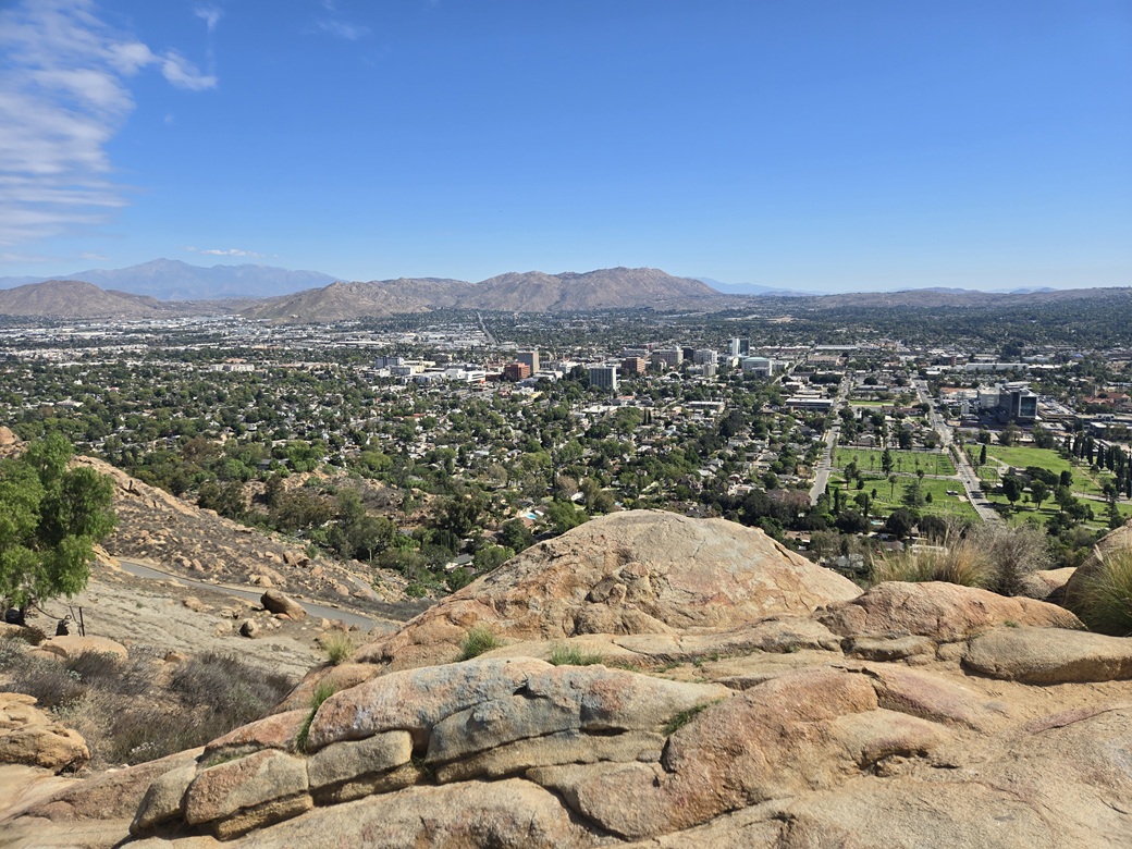
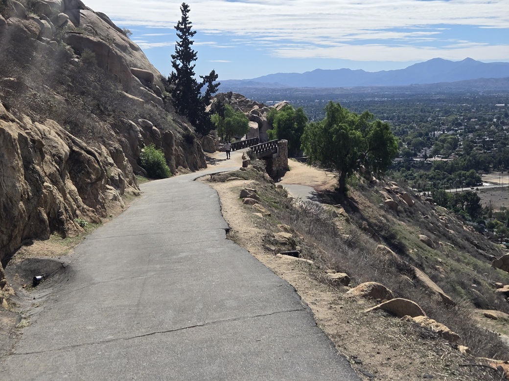
The walk up was easy, just following the road's gentle grade upward. The views were very good, looking south toward Corona and Santiago Peak. It was sunny, but the air was clear. That's a major change from when I was here in the 1980s.
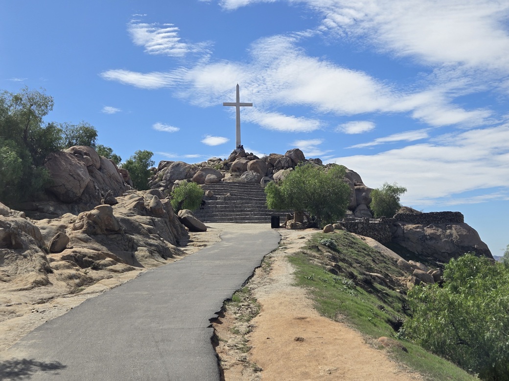
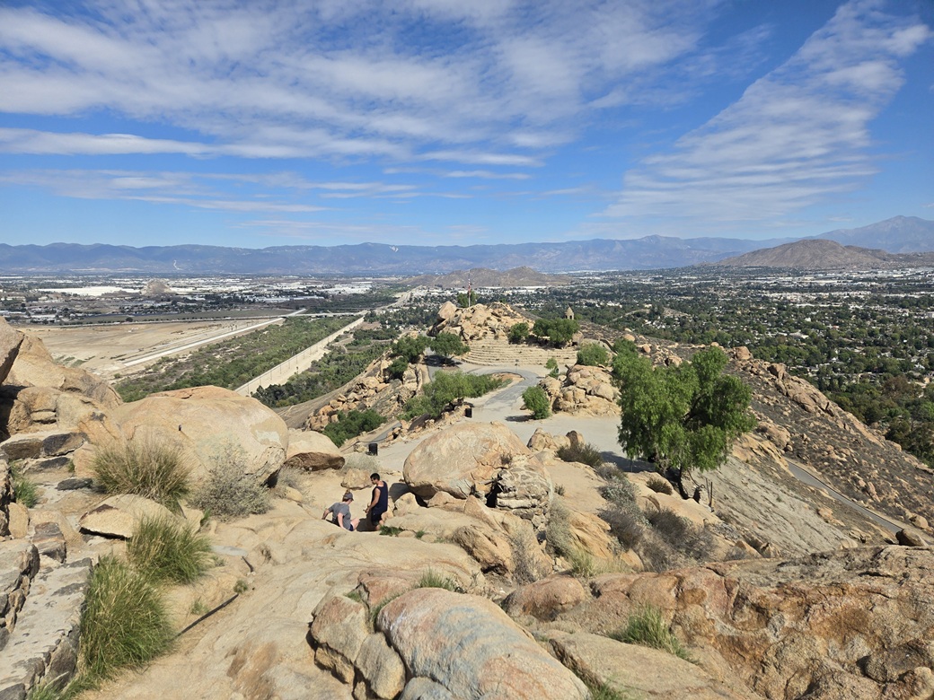
The road bends back toward the top, where the cross can be seen marking the very top. I made a couple more turns then came upon a small amphitheater at the base of the peak. I walked up the concrete tiers, then suddenly, was at the top.
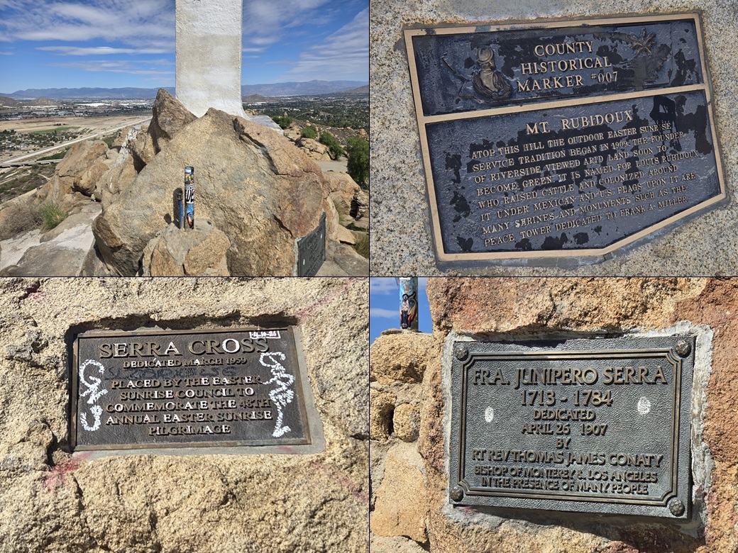
The cross is in honor of Father Junipero Serra. Other plaques are affixed to rocks, telling of the history and who's been here. I tagged the highest rock then relaxed for a few moments, taking some images. It hadn't taken long to get here, about 30 minutes.
The whole summit area is very pretty and well done. I got some great views of Riverside. People were coming and going but it never felt crowded. Most got as far as the lower seats of the amphitheater and no farther. This may be where they host the Easter Masses.
I walked down the same way, the round trip taking about an hour. I enjoyed this hike a lot and appreciate the history. Don't come here expecting a wilderness experience (yet some people do, judging by comments I've seen). I gained some new appreciation for the city and the area as a whole.
Ironically, being forced to wait a couple hours due to the race helped. The day was much sunnier and clear. Had I been here when I first showed up, it would have been cloudy with muted lighting. This is a peak that needs to be done in sunny conditions.
I was officially done with Riverside, and now started the long leg back toward Arizona. I took the 60 to the 10 down into Palm Springs and eventually toward Indio and Coachella, where I topped the gas. I also stopped in for a snack and to see about a cheap hotel somewhere.
I started up the long grade out of Coachella. where Interstate-10 gains about 1,800 feet toward Chiriaco Summit, this being the actual San Andreas Fault. Traffic was the usual: cars and trucks, not too crowded.
A guy to my left suddenly just changed lanes right into me. I had to swerve into the right-most lane to avoid being broadsided. Otherwise, he would have hit me.
So I chased him. He was going about 80 on the grade, where most cars were going about 70. I got in behind him then he took off. As the terrain levelled, he was going easily 90. I wasn't willing to go that fast, so I let him go. I hope I elevated his adrenaline a little.
Eventually, I got into Blythe, where I had a hotel waiting. They were dirt cheap and it was too warm to camp. The next day, I would enter Arizona and do a couple hikes, starting with a peak in the Bear Hills.
It had been a fine few days in California. The family matter was significant and it went well. I got to see my brother and sister, niece and nephew, and various extended family and friends. I got to visit with an old friend of mine, and tour old haunts that I have long almost-forgotten. I got to pay my respects in a proper manner, and it gave me a sense of closure. I'm not young myself, so these opportunities may be fewer in the future, or may never happen again. I don't want to take things for granted.
|

|