
The Mountains of Arizona
www.surgent.net |
|
Peak 2794 • Peak 2220 I returned to the foothills of the Hieroglyphic Mountains a week after hiking a pair of peaks a few miles north along Castle Hot Springs Road. The weather has been active. This past weekend and into early Tuesday morning (yesterday), the whole Southwest was being hit by storms emanating up from Baja California, the remnants of Hurricane Polo, which by now was a tropical storm over central Mexico. I hit very heavy rain on Tuesday between Bisbee and Benson, then again north of Tucson. Floods were happening everywhere. The forecast was that all of these storms would blow through by end of Tuesday, which they did. The after-effects would be cooler temperatures for a few days, highs in the deserts only in the low 80s. Thus, it was cool enough to be hiking at the lower elevations, meaning I did not have to drive very far either.
Date: September 30, 2026
• Elevation: 2,794 feet
• Prominence: 407 feet
• Distance: 6.8 miles
• Time: 3 hours
• Gain: 875 feet
• Conditions: Cool, some clouds then more sunny
Arizona
•
Main
•
PB
•
LoJ
Peak 2794 (unmarked on the map, interpolated as 2,780 feet) lies a couple miles west of Castle Hot Springs Road near its junction with highway AZ-74 and close to US-60. It is a trapezoid-shaped peak with steep cliffs and a craggy ridge. It is one of two ranked peaks nearby one another, San Domingo Peak being the other.
I was on the road at 4:30 a.m., and at Castle Hot Springs Road about 5:45 a.m., still a little early, so I drove in and parked in a pullout, and waited a few minutes to let the sun rise some more. With a little more light, I drove to a junction, onto a rougher road going north where the main road bends east. This road has no name on the maps, but heads north toward the Little San Domingo Wash. This area is popular for campers.
Immediately after crossing the actual wash, I eased left onto a lesser road going west. It got rough fast, so I parked in a clearing with a fire ring surrounded by creosote and cactus. Since I'd be walking a road and tracks most of the way, I wore shorts. I started walking at 6:20 a.m., the temperature about 65°. There were some scattered clouds but also plenty of sun, and it was very mild.
The road I followed bent southwest, then northwest, aiming for Ox Wash, and bypassing a few homes up on the bluffs. The topographical maps show this road to end, but the satellite maps show a number of tracks, including one that got close to the peak.
The road did end, losing distinction as it entered Ox Wash. Here, I guessed and aimed toward the peak, finding tracks and following them out of the wash and onto some elevated bluffs. These tracks were in good shape. Too narrow to be for vehicles and showing no hint of tire tread (bike, ATV included), I suspect they may be old horse and pack-animal tracks from the mines back here, some still staked out and technically active. The land here is BLM and State Trust.
The tracks gains about a hundred feet to a saddle in a low ridge of hills. Here, I got an excellent view of Peak 2794, lit up in yellow and orange from the low-angled sun. It looked lovely, and also a little intimidating. From this vantage, all slopes up looked cliffy, treacherous or both. This was the peak's southeast aspect I was viewing.
I stayed on the track as it descended, heading southwest again then bending northwest and aiming uphill toward a pass to the peak's east.The track was always in excellent shape and easy to follow. It would drop into and out of arroyos and only in these spots did I have to pay attention.
As the track ran below the peak, I studied its lines. Up close, I saw one or two possibly viable ramp-and-cliff routes that might have worked, but I decided to check out the north slopes first. If I saw nothing there, I'd come back and try these routes.
I gained the saddle, then dropped about a hundred feet down its north side. At some point when it felt right, I angled sharply left and walked uphill toward a rounded rock promontory, easing past it to the right.
Now I could see my hopeful route. The map shows a ridge coming off the main peak's mass to the northwest. It looked much friendlier from this way. I had to sidehill the slopes from where I was to get to this ridge. It went well, the terrain being mostly stable. I had more brush, with staghorn and also a lot of palo verde. Grass and undergrowth was light.
I got to this subridge, then turned left and started up the rocky slopes toward the highest ridge. This was much nicer than those ramp/cliff routes. The rocks were reddish volcanic dacite. They held together well. I had to do a lot of high-stepping but only needed hands occasionally.
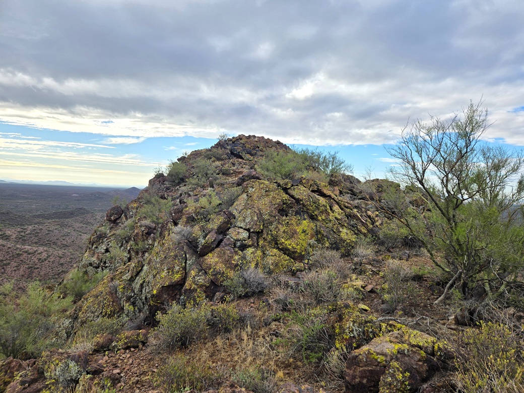
I was now on the highest ridge. I walked over to the summit and tagged a couple rocks sticking up. It had taken me about 90 minutes to get here following a roundabout way. A cloudbank had moved in over me and muted the light so my images did not come out so well.
Not many people get here. Lists of John shows just one visitor before me, Bob Moore from 2019. I am surprised so few people have been here. I could not locate a register. A ridgepoint about a quarter mile southeast looked "high" but Lidar shows it to be about 20 feet lower, and even just a visual sighting shows it to be lower. I spent about five minutes up top. It was cool and very pleasant.
I hiked down the same way, although in a couple spots I followed some shortcuts to get back to the track quicker, or bypass a meandering section. The hike out took a little under 90 minutes and it was a little after 9 a.m. when I returned to my car. Later, I would determine I hiked 3.4 miles each way, which surprised me a little.
I piled in and drove out, stopping before I got to the main highway. I had a couple ideas in mind for a second peak and wanted to study the maps. I decided to go with a peak closer to Lake Pleasant.
Regarding its nearby peak, San Domingo Peak. The road net from the side I was on looks inefficient to get to it. But coming in from the west looks difficult due to private property. However, I was able to spy roads and tracks from my side that got "close". These are not good roads and I'd need to walk them. I don't have any immediate plans for this peak but it will likely involve a lot of road walking.
Elevation: 2,220 feet
• Prominence: 390 feet
• Distance: 3 miles
• Time: 90 minutes
• Gain: 570 feet
• Conditions: Sunny, warmer but very pleasant
PB
•
LoJ
Back on AZ-74, I headed east about thirteen miles, exiting onto a scraggly road at milepost 17. This road goes south, up to a small rise before dropping into a basin. I parked at the rise. It was full of shooter litter such as shotgun shells, bullet casings, and general trash.
Peak 2220 rises about a mile south of the highway. A shooting range has been built into area north and east below the peak. I was here a few years ago to climb this peak, but turned back once I learned it was a shooting range.
It turns out that the summit of this peak lies outside the perimeter fence and can be approached from the west in such a way so as never to be near the fence or in any danger from an errant bullet.
I started hiking at 9:50 a.m., a little warmer now but still only in the mid-70s with a breeze. It was sunny now, the clouds having moved aside.
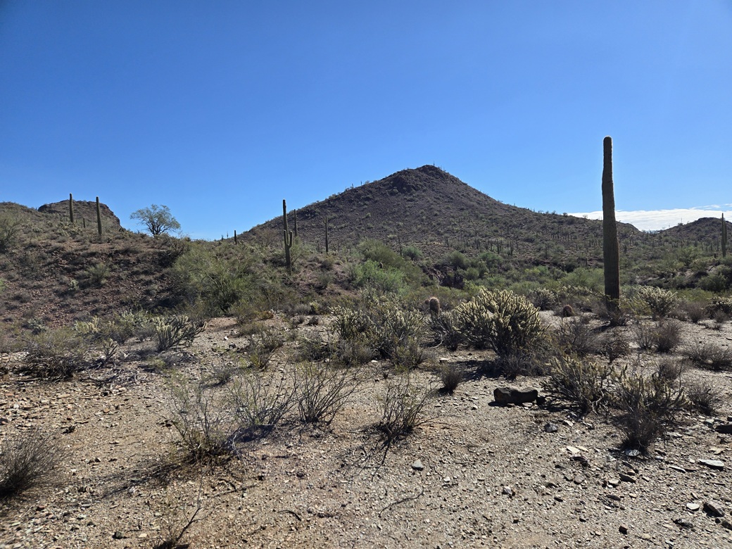
I hiked south on the road to a lowpoint, a drop of about 60 feet. I then angled left (east) around a low ridge, following lesser tracks and any openings, until I dropped into a sandy drainage. Peak 2220 could be seen now, a skewed-triangle shape. Bigger Saddleback Peak rises to the south. I studied it for a future visit.
I needed to exit the drainage, so I started up the first decent-looking slope I came to. Now on the elevated bluffs, I hiked toward the saddle north of the peak, and came upon a side-drainage with fifteen-foot high walls. I wasn't expecting this.
I found a spot to drop in then out of, then back up on the bluffs, could now hike toward the peak without any more big drops. I didn't go to the saddle. Instead, I angled right and just followed any easy lines upward until I was on the peak's north slope, which forms a nice ramp all the way up.
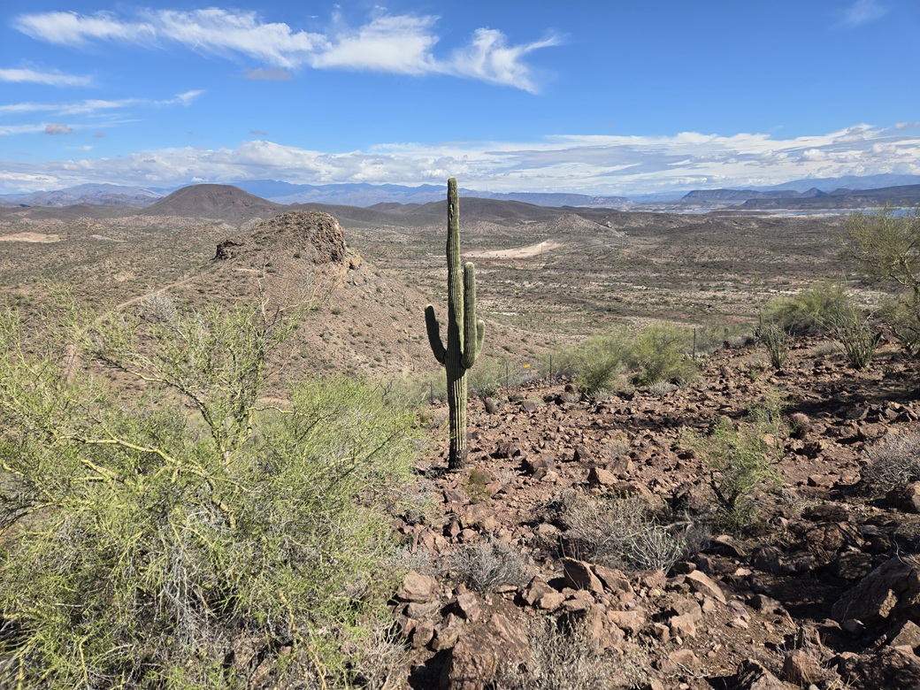
The terrain was rocky with saguaro, palo verde, various cactus and low grass, but with openings. The grade was moderate and the rocks generally stayed in place. I could see the perimeter fence about 150 feet to my left as I looked up.
The hiking went slow but was easy. I could hear shots coming from down below, but they were far away. I was not in any danger. I just slogged upward, arriving onto the summit after about 45 minutes from the car.
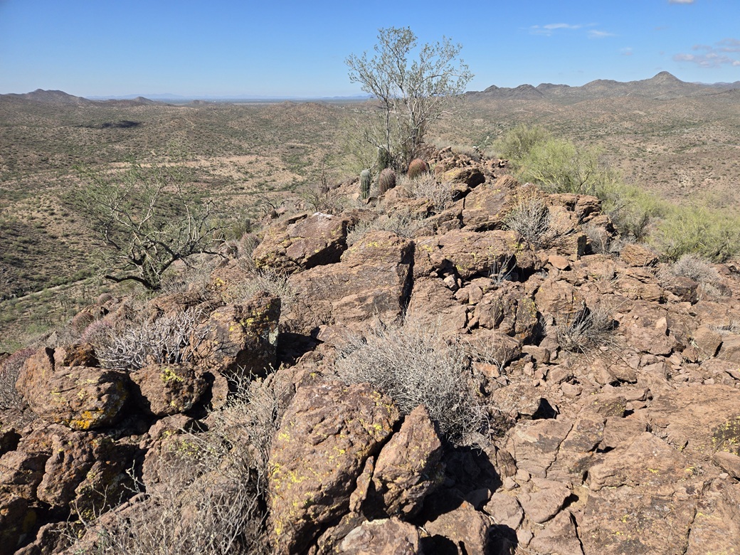
The summit is a rock outcrop, and once on it, I could see the fence, now just about fifty feet away. On its other side were low rocks but nothing as high as where I was. In any case, there was no way I was going to breach the fence. Where I stood was good enough.
I did not stay long, shooting a couple images and looking around. I found no cairns nor registers. I took a brief break to have a drink, but spent only a minute or so on top.
I hiked down the same slope, angling left (west) as I descended, now onto the bluffs. I followed openings downward to the main drainage and got myself cliffed out. These walls were easily 30 feet high and vertical. I could not find any way down, not even bad options.
So I hiked back uphill until I found some way to cross the lesser drainage, then once past that, I had better options to get off these bluffs and into the main drainage. Another fifteen minutes and I was back to my car, a 90-minute hike.
This had gone well, and it was a fun and worthwhile peak. I never felt any concern about shooters. However, the trash and shooting junk that was everywhere was depressing and I did not want to stick around.
It was a little after 11 a.m.. I drove back to Scottsdale and showered up, then took a 90-minute nap. I had hiked nearly 10 miles today and I could feel it. Everything went well and the weather was fantastic, the first cool day in the deserts in months.
|








|